Trail Overview
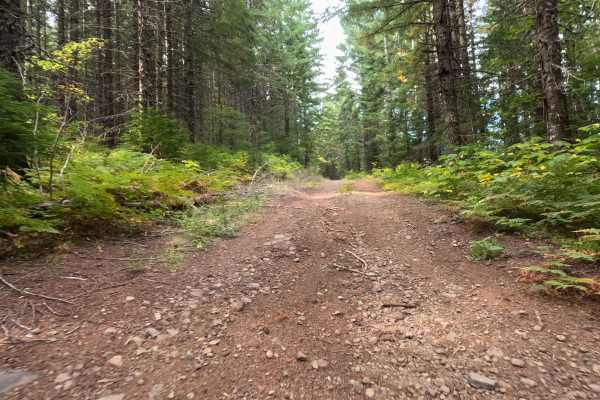
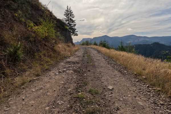
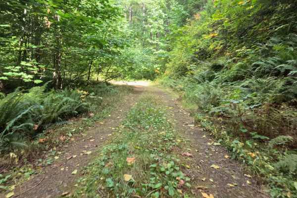
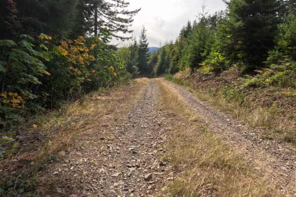
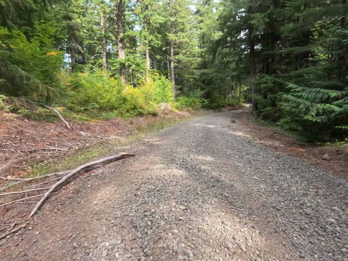
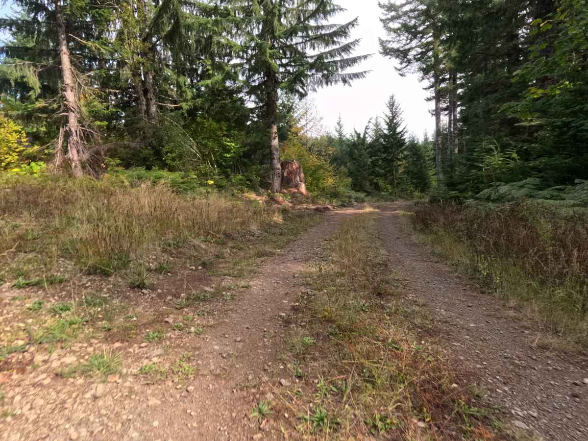
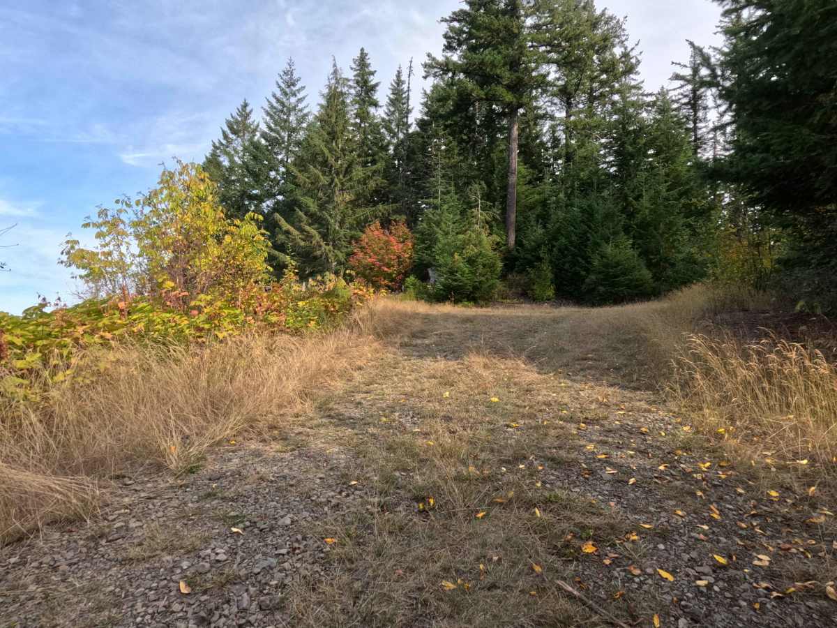
Branching off the main CG-2000 network, CG-2039 functions as a highly rewarding, out-and-back forest spur climbing steadily up onto an elevated ridge. The pathway travels through a lush, vibrant woodland within the Gifford Pinchot National Forest, dominated by towering evergreens and a thick understory of ferns and brush. Photographers, sightseers, and backcountry campers purposefully navigate this ascending corridor to reach an exceptional dispersed campsite at the top that provides enough level ground for two vehicles. The driving surface consists of a single-lane unpaved road heavily coated in coarse gravel, earning a manageable Grade 2 difficulty rating. At the trail's terminus, visitors are treated to breathtaking, unobstructed views looking east and northeast toward Mount St. Helens and Mount Adams, creating an unmatched vantage point for early morning sunrises.
Difficulty
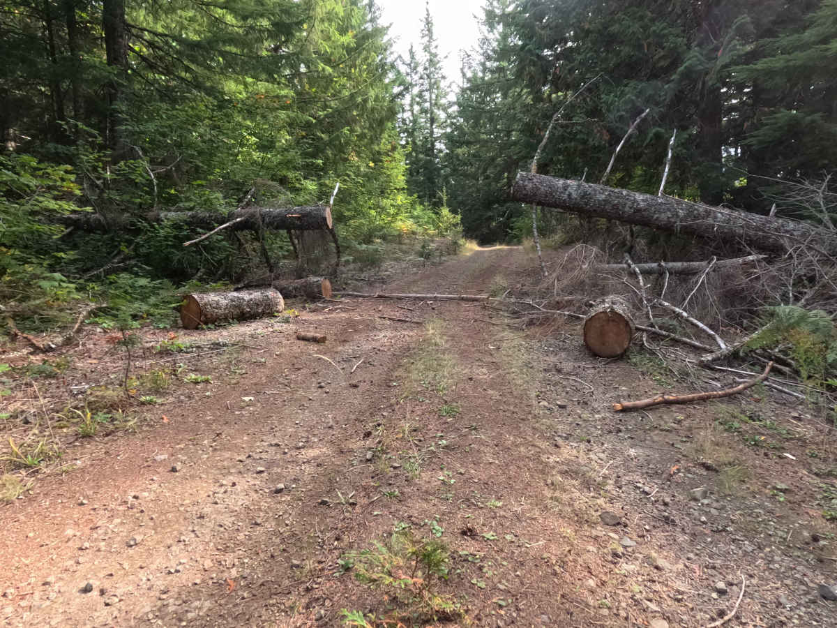
Carrying an accessible Grade 2 difficulty rating, this ascending mountain spur offers a firm and dependable but consistently bumpy driving experience. Advanced off-road obstacles—such as deep mud pits, severe shelf drop-offs, or intimidating rock crawls—are completely absent along the entire route. The primary terrain consideration is managing the layer of rough, unrefined surface gravel and loose stone covering the incline. Maintaining a slow, steady cruising speed ensures solid traction on the uphill grade while preserving passenger comfort. Standard factory ground clearance is more than adequate to clear the loose rock, negotiate the gentle bends, and comfortably execute a turnaround at the scenic hilltop clearing.



 Offroad