Bethel Ridge Road 15

Total Miles6.6
Technical Rating
1Easy
Best TimeSpring, Summer, Fall
Trail TypeFull-Width Road
Accessible By
Open Trail Map

Trail Overview

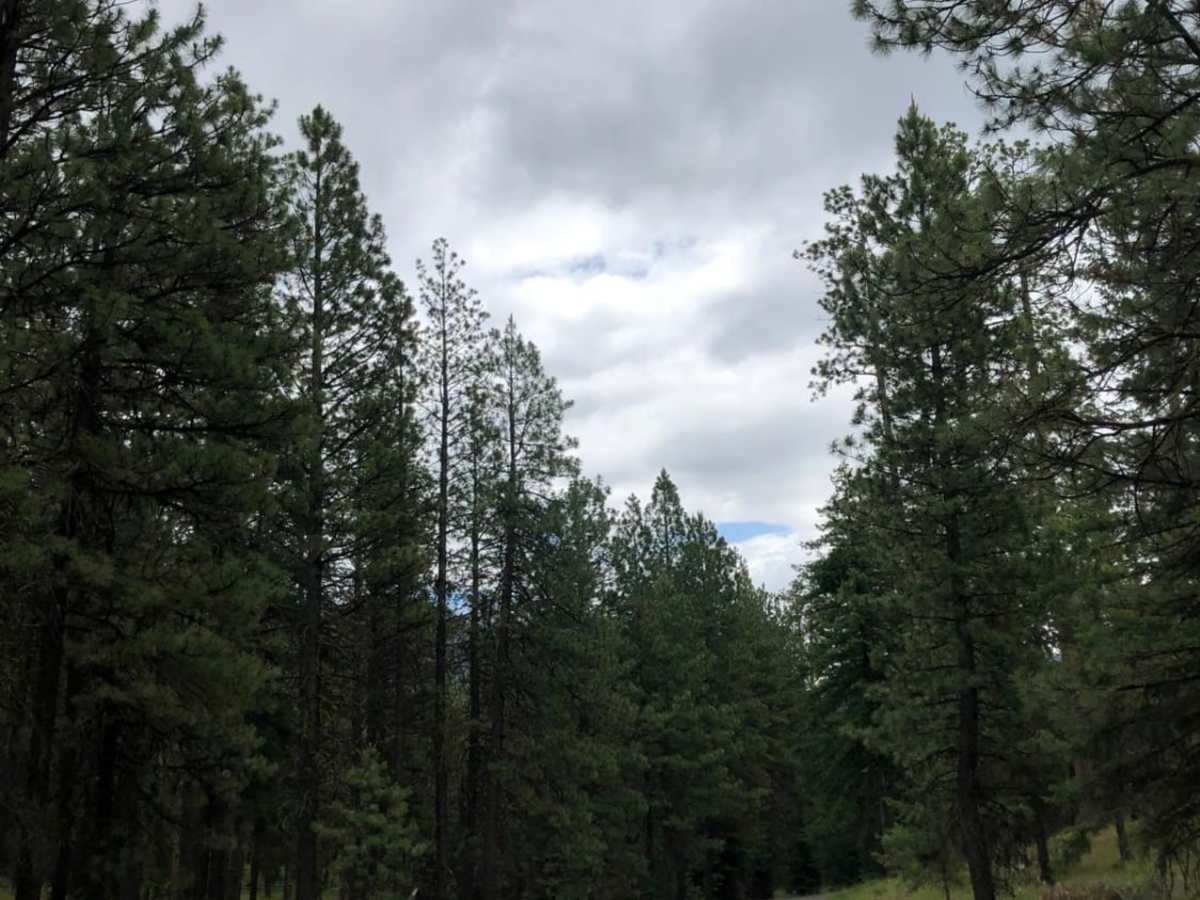
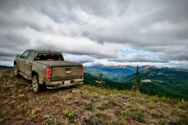
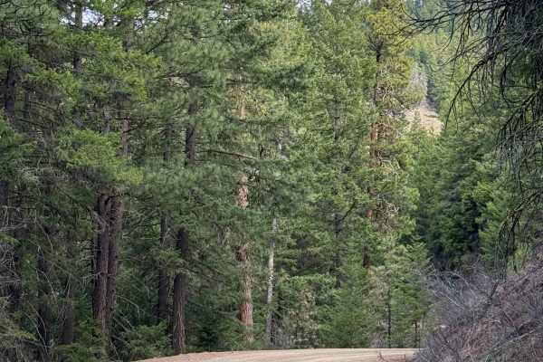
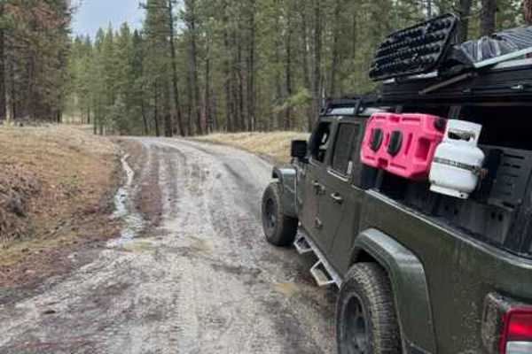
A scenic 6.6-mile dirt and gravel route in the Okanogan-Wenatchee National Forest that climbs over 3,000 feet to connect U.S. Highway 12 with the high-elevation Bethel Ridge area.

Photos of Bethel Ridge Road 15

Difficulty

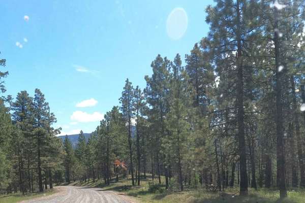
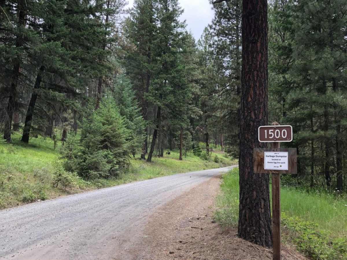
The road is well maintained gravel.

Technical Rating

1

Status Reports

Add Status Report
Austin Wright
Jul 10, 2026
2017 Toyota Tacoma
Open
NormalDusty
Emerald City Rivian Club
Sep 21, 2024
2022 Rivian R1T
Open
Normal
Dan Brown
Jul 04, 2024
2014 Jeep Wrangler
Open
Normal
Dawnie C
Jun 21, 2024
2022 Toyota 4Runner
Open
WashboardDustyNormal
Riley Obrien
Jul 26, 2023
Open
NormalDustyWashboard
Breck Waggoner
May 31, 2023
Open

Bethel Ridge Road 15 Trail can be accessed by the following ride types:

  • Single Track
  • 50 Inch
  • 60 Inch
  • High Clearance
  • Full Width

Access Description

Managed by the U.S. Forest Service Naches Ranger District within the Okanogan-Wenatchee National Forest. Access is free but subject to seasonal snow closures, which typically block the road through winter and early spring. Visitors must adhere to the current Motor Vehicle Use Map (MVUM) designations. Temporary closures may occur due to active logging, washouts, or wildfire activity.

Bethel Ridge Road 15 Map

The onX Offroad Difference

onX Offroad combines trail photos, descriptions, difficulty ratings, width restrictions, seasonality, and more in a user-friendly interface. Available on all devices, with offline access and full compatibility with CarPlay and Android Auto. Discover what you're missing today!

Open Trail Map