Peters Mill Run

Total Miles8.4
Technical Rating
3Easy
Best TimeSpring, Summer, Fall
Trail TypeFull-Width Road
Accessible By
Open Trail Map

Trail Overview

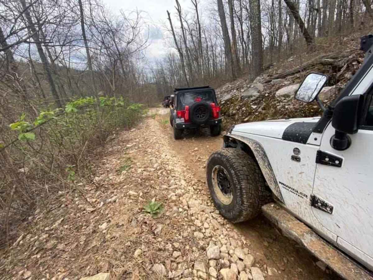
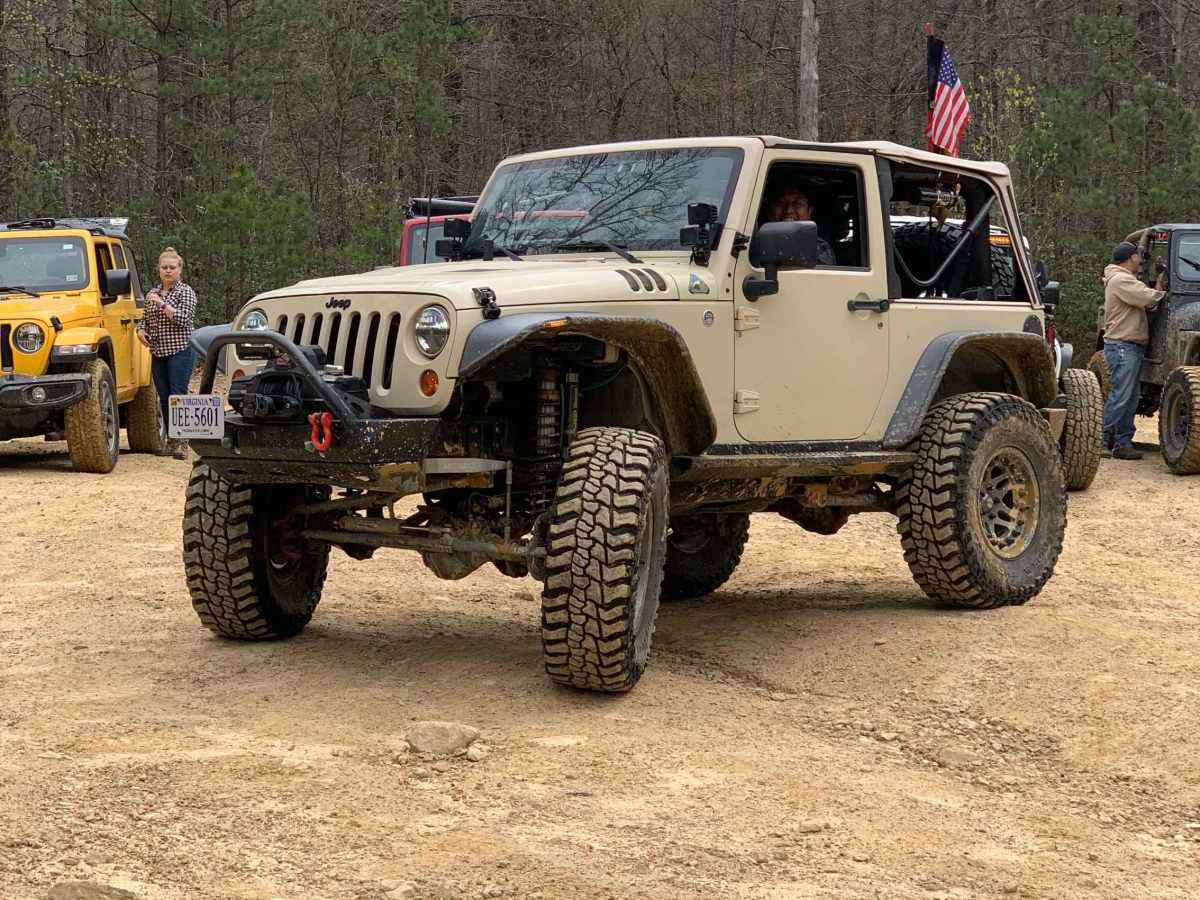
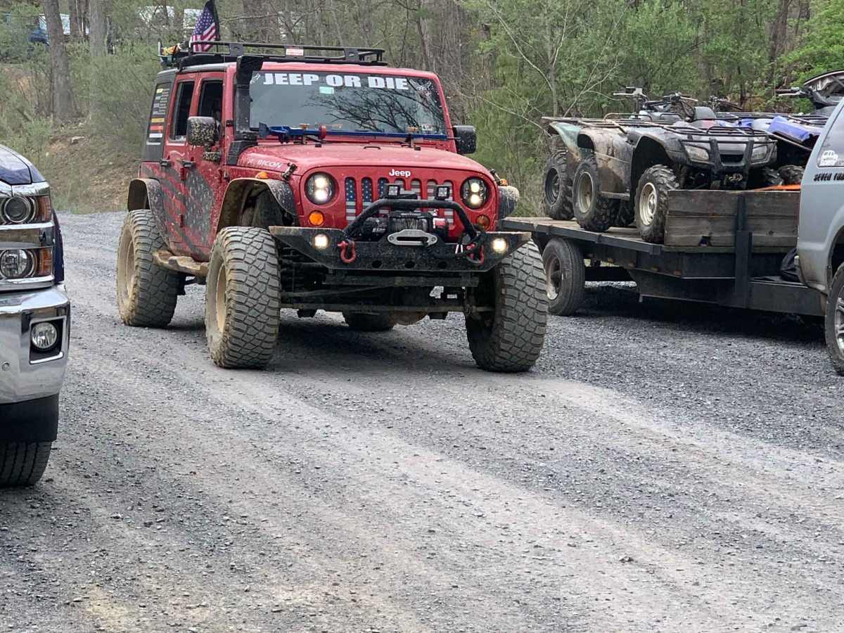
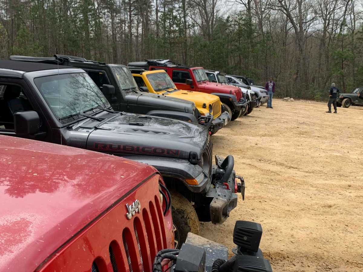
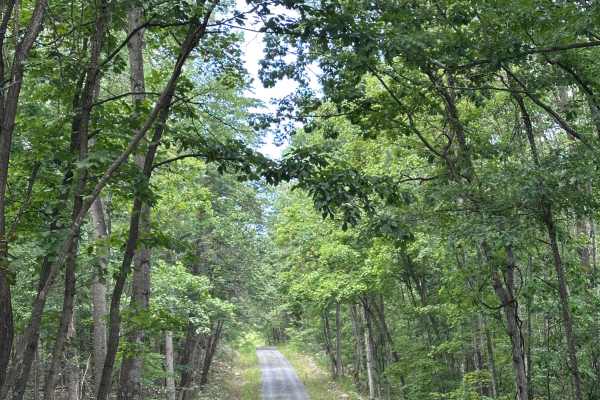
Peters Mill Run is a beginner-friendly, 8.4-mile point-to-point offroad trail near Fort Valley, Virginia, offering stock four-wheel-drive vehicles, SxSs, and ATVs an accessible mountain driving experience. As a designated Jeep Badge of Honor trail within the George Washington and Jefferson National Forests' Lee Ranger District, this route climbs from an elevation of 1,330 feet up to 2,429 feet, featuring a maximum grade of 17 degrees. The primary trail surface consists of unpaved dirt, gravel, and loose rocks, with most of the route carrying an easy difficulty rating. However, the southernmost two miles introduce moderate challenges with small obstacles, and the single-vehicle-wide passages can make finding suitable pull-offs difficult when encountering oncoming traffic. The trail is open seasonally from mid-March until the third Monday in January, depending on local weather and route conditions. Visitors must purchase a $5.00 daily permit from local gas stations or stores in nearby Edinburg, as there are no self-pay stations at the trailheads. Camping is available at Little Fort Campground, which features 11 free, first-come, first-served tent sites, or near the historic Woodstock Tower on the northern end of the trail. While the Lee Ranger District offers 36 miles of OHV trails, Peters Mill Run is the only trail in the system open to full-size four-wheel-drive vehicles.

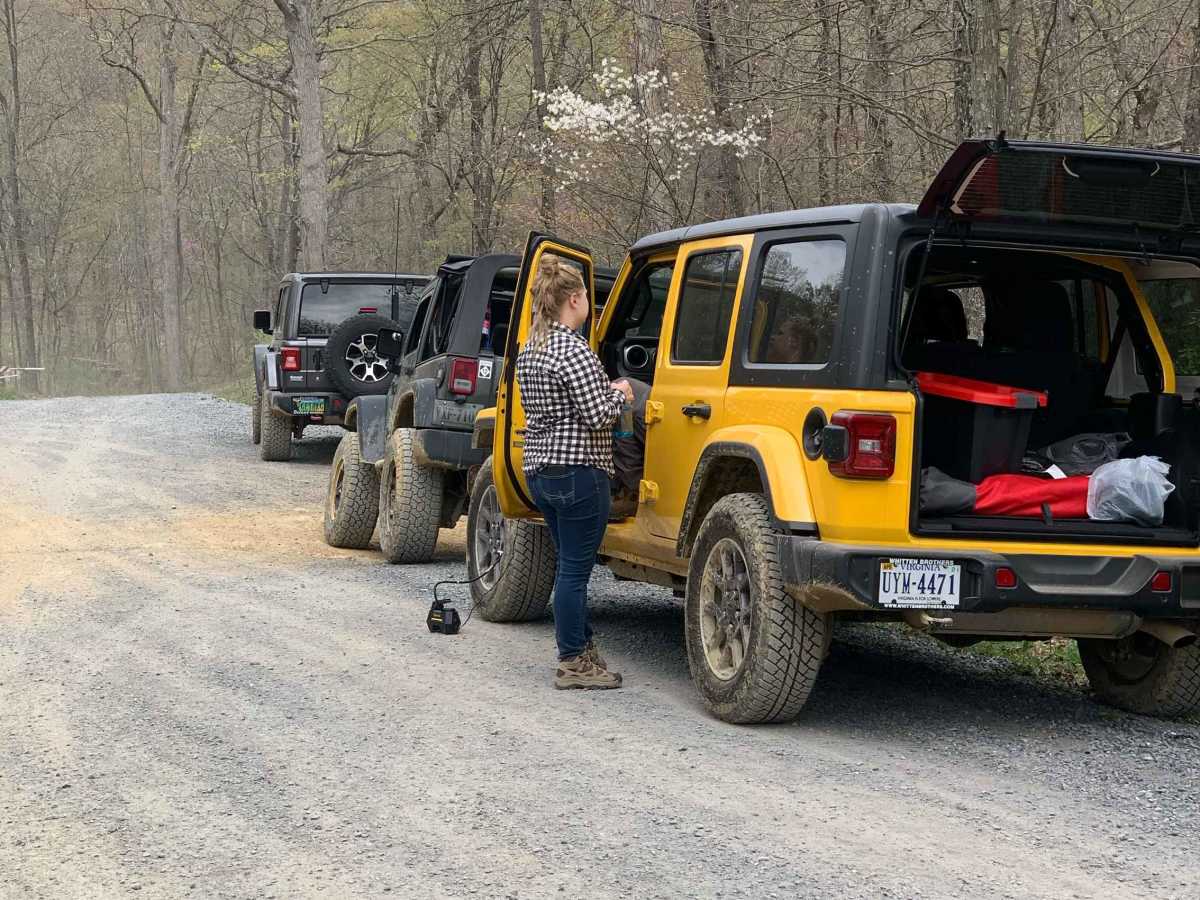
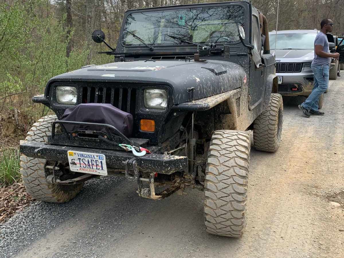
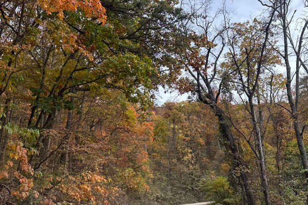
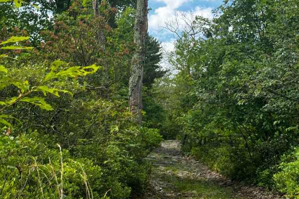
Photos of Peters Mill Run

Difficulty

Most of the trail is an easy 2, though a few sections with small obstacles in the southernmost two miles are a 3 rating. Also, with vehicles traveling in both directions, finding pull-off spots where the trail is one vehicle wide can be challenging.

Technical Rating

3

Status Reports

Add Status Report
wood stock
Dec 21, 2025
Open
Normal
they filled in the obstacles! trail is now an easy 2/10
Darin Jackson
Nov 30, 2025
2025 Jeep Wrangler
Open
Muddy/Wet
Very muddy, but not too difficult nice ride through the woods
Julia K
Nov 28, 2025
2022 Ford Bronco
Open
NormalMuddy/Wet
Great beginner trail. Went from the south end to the north end and will say that airing down and 4L (especially for certain areas in the beginning due to incline) are a must. Was slightly muddy due to rain a couple of days prior. Would absolutely recommend this trail as well as the Woodstock Tower road that comes after the north end.
Thomas P
Nov 19, 2025
2002 Jeep Grand Cherokee
Open
Normal
Its been about a year since I have done this trail, and what a difference a year makes. The trail has had significant "maintenance". It now only rates a 2. They have smoothed over much of the trail including the few actual obstacles that were near the southern end. Most vehicles including many stock vehicles should have no issues with this trail in its current state. 4x4 is not needed in average conditions, and while I wouldn't go in a minivan, just about anything with a little bit of clearance and AWD should be fine. Subarus will be right at home on this trail. Honestly RWD with a limited slip should be fairly safe if it isn't wet. Quite frankly though its an embarrassment to have a Jeep Badge of Honor trail be this easy.
James Sartoris
Nov 16, 2025
Open
Dusty
Dereck Criner
Nov 11, 2025
2003 Jeep Grand Cherokee
Open
Dusty
The trail was not difficult for my mostly stock WJ. There were a couple of water crossings with broken concrete sections, but nothing impassable.
Matt Duke
Nov 09, 2025
2020 Toyota Tundra
Open
NormalDusty
First actual “trail” I’ve run in a vehicle instead of a SxS. Great trail for a beginner to understand what their vehicle is capable of and how to pick lines. Most obstacles are just crowning water bars or avoiding softball to basketball sized rocks. We traveled south to north. South end coming up the hill was a blast. Bottomed out a few times, mostly due to crowning a few obstacles a little too quickly. Otherwise a very manageable trail. After climbing the hill the trail turns into what we consider a standard dirt backroad where I’m from in WV. More SxS and ATV traffic than anything but did pass a few other trucks and one Jeep. Ended up rescuing some kids who broke an axle on an ATV and threw their ATV in the bed to haul them back to the trailhead.
Ira K.
Oct 13, 2025
2012 Nissan Xterra
Open
Muddy/WetRough/Deteriorated
This trail is beginner friendly if you have a Wrangler, 4Runner, Frontier etc. on AT tires and understand basic off roading concepts.. For the soft roaders like Crosstreks, RAV4s and Rogues: there is softball sized rocks that will puncture your road tires. There is these bridge things and other obstacles you can bottom out on and be stuck (4 miles deep in the woods with no cell signal btw.) After heavy rain I’m curious if AWD on street tires could even make it up in the mud in the south end. Let alone the rock gardens etc. It says beginner friendly on this app, but you shouldn’t take a Crosstrek on road tires and rip through there without carefully avoiding sharp rocks. After heavy rain idk if you would even make it up the south end. Fun trail after heavy rain for 4x4s, especially the south end.
Jacob Sprosty
Oct 12, 2025
Open
Muddy/Wet
First time off roading. Stock vehicle that handled everything very well. Definitely easy for beginners and plan to bring my wife’s 2025 Nissan Rogue Rock Creek nest time.
Russ Danes
Oct 11, 2025
Open
NormalDusty
My first time taking any trail! Peters Mill Run was a dream for a newbie like me. I started in the south and took the trail to the north end. I ran into one group of newbies going the opposite way. We stopped and the smiles on both are faces at the halfway point said it all. We both shouted “First time?” “F- Yeah!” The trail was dry and very dusty, lots of rock, but nothing that a stock 4x4 can’t handle. My new Bronco Badlands did very well and my dog Indy loved the ride! I recommend this trail to any other first timers as it has enough to give you a thrill but not enough you can’t handle it!
andy thomas
Sep 27, 2025
2015 Chevrolet Silverado
Open
NormalMuddy/Wet
we took the trail both ways. from Edinburg gap north the trail is steeper and rockier. the steep rocky hill has been graded smooth for ease of use for motorcycles and ATVs. all the previous washouts in the southern section had been repaired. it is still very rocky for the first half of the trail then turns to dirt when you enter the pines. there is still the hillclimb play area by the pond. still a great entry level trail for any high clearnce 4x4 or off-road oriented cuv with good tires.
William Mitcham
Sep 23, 2025
Open
Nice trail with decent views bugs are bad this time of year
Luke P
Sep 07, 2025
2023 Ford Bronco
Open
Dusty
Ira K.
Aug 14, 2025
Obstructed
Downed Tree
Went in through the north side.. probably a mile in saw a downed tree
Christopher Shalosky
Aug 08, 2025
Open
NormalDusty
Gladiator on 37’s, stock xj and a stock wrangler sport all with tents completed very easily. Only ran in a few 4 wheelers and 1 jeep. Very beginner friendly. Modified jeeps with bigger tires have absolutely nothing to worry about.

Peters Mill Run Trail can be accessed by the following ride types:

  • High Clearance
  • Full Width

Access Description

A daily permit costing $5.00 is required to ride Peters Mill Run. This permit must be purchased in advance at local gas stations or retail outlets in Edinburg and the surrounding area, as there are no permit kiosks at the trailheads. The trail is open seasonally from mid-March until the third Monday in January, depending on weather and trail conditions. While ATVs and SxSs are permitted, Peters Mill Run is the only route within the Lee Ranger District's 36-mile OHV trail network that allows full-size four-wheel-drive vehicles.

Peters Mill Run Map

The onX Offroad Difference

onX Offroad combines trail photos, descriptions, difficulty ratings, width restrictions, seasonality, and more in a user-friendly interface. Available on all devices, with offline access and full compatibility with CarPlay and Android Auto. Discover what you're missing today!

Open Trail Map