Trail Overview
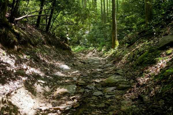
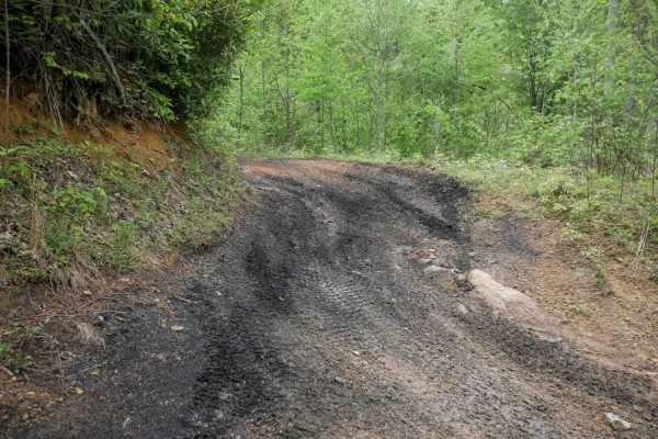
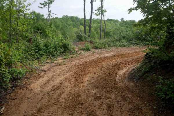
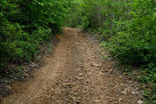
OP 22 is a 2-mile route that connects the east and west portions of the Original Pocahontas trail system, making it a key corridor through the area. It begins at the intersection with OP 14 and goes through a stream bed featuring flat, slimy rock layers that can be slick when wet. The initial section is muddy with a mix of embedded and loose rock, requiring some attention. It transitions into a smoother, easier shelf path through the forest, with mostly dirt surfaces and gentle grades. This trail provides access to moderate trails 97 and 89. Beyond the intersection with 89, the difficulty increases slightly with chunkier embedded rock layers forming small, ramped stair-step features. Drivers will also encounter deeper ruts and a few short, steeper descents. The route continues through a lush forest floor lined with rhododendron thickets and is best suited for drivers with basic off-road skills.