Trail Overview
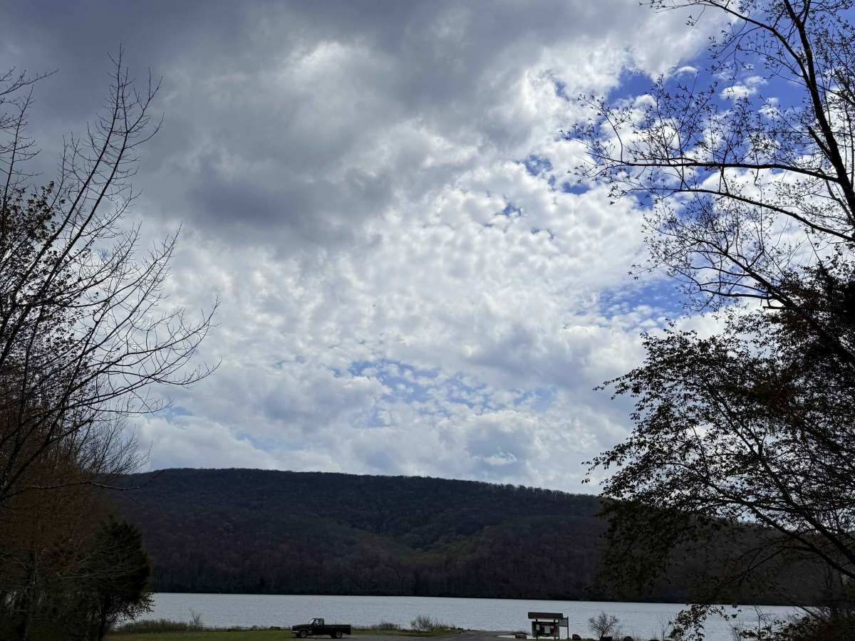
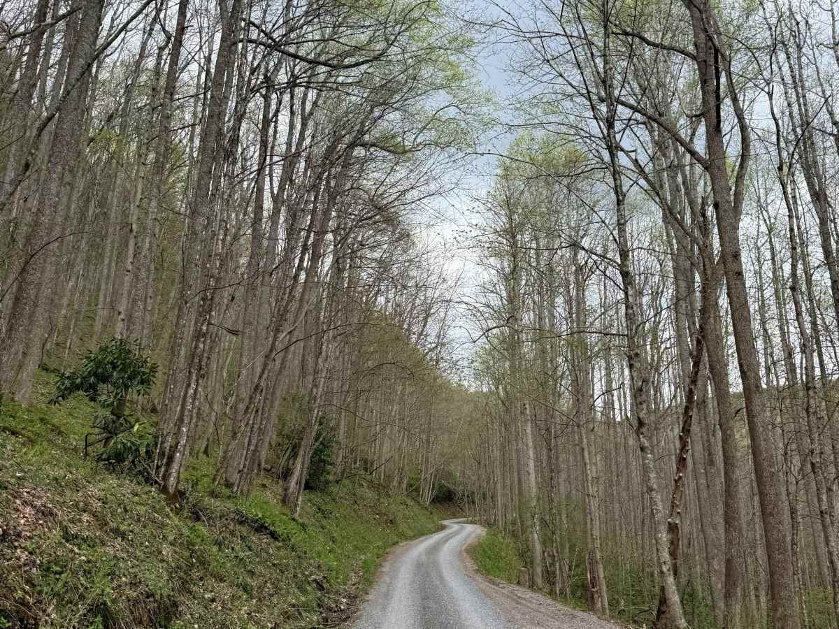
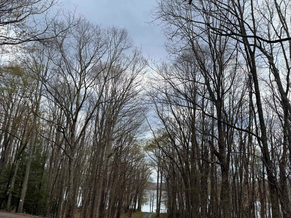
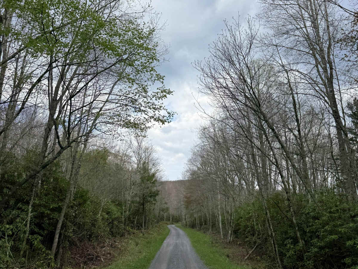
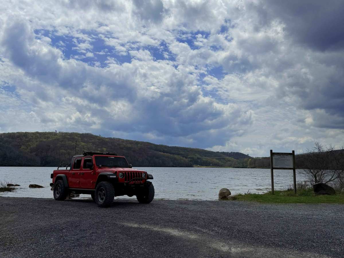
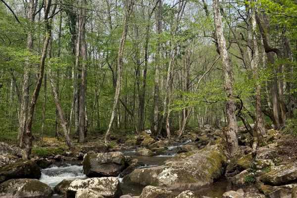
Discover one of Southwest Virginia’s best-kept secrets. This scenic out-and-back gravel road winds through the heart of the mountains, leading you to the pristine shores of Laurel Bed Lake. At 330 acres, the lake is a premier high-altitude fishing destination surrounded by lush forest. The route is a well-maintained gravel road, making it an easy but rewarding drive for any rig. With an abundance of primitive campsites tucked along the way, it’s the perfect spot for a quick overnighter or a weekend escape.
Note: This area is managed by the DWR; a daily access permit or valid hunting/fishing license is required to explore these roads, these roads are also subject to close depending on the time of year and weather.
Difficulty
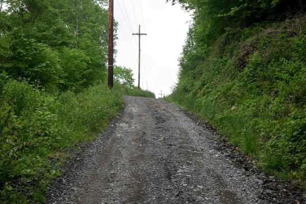
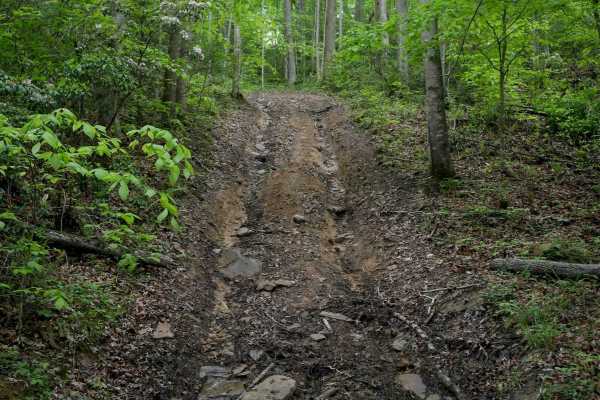
This trail consists of well-maintained gravel roads suitable for any high-clearance 2WD vehicle. While the path is generally smooth, drivers should be prepared for some steep sections where momentum and traction are key. Keep an eye on the sky, as heavy rain or snow can quickly turn these mountain grades into a slicker, more technical drive. Overall, it’s a straightforward and relaxing cruise perfect for beginners or those looking for a scenic mountain getaway.