FS 5027

Total Miles2.1
Technical Rating
1Easy
Best TimeSpring, Summer, Fall, Winter
Trail TypeFull-Width Road
Accessible By
Open Trail Map

Trail Overview

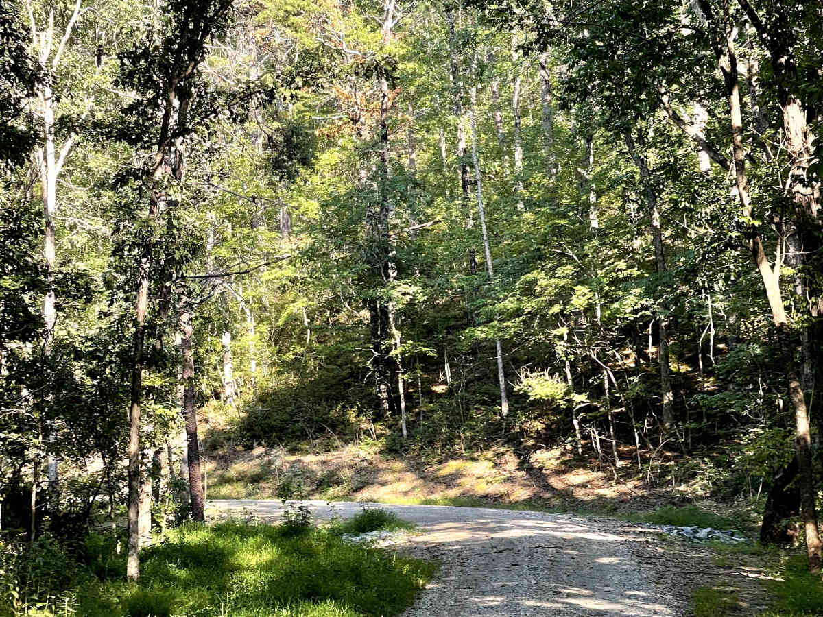
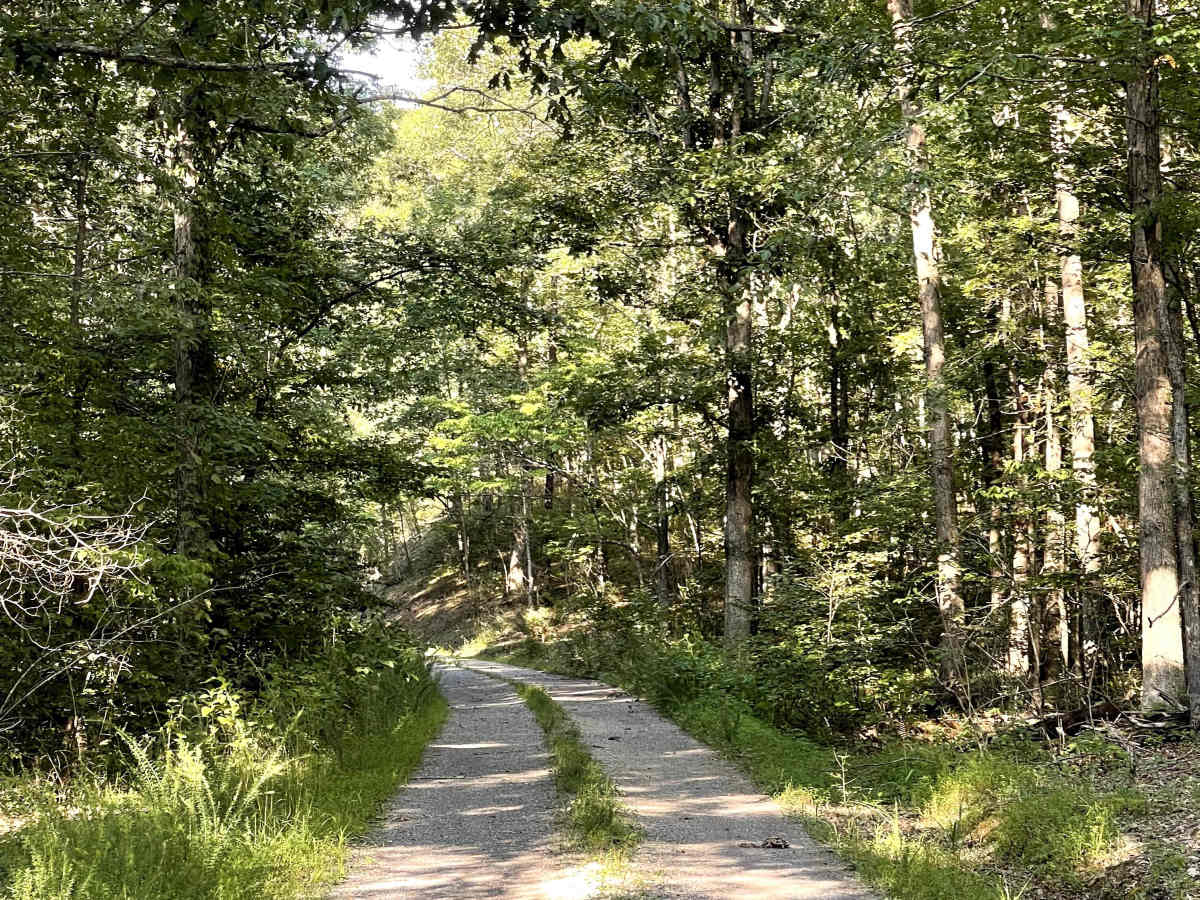
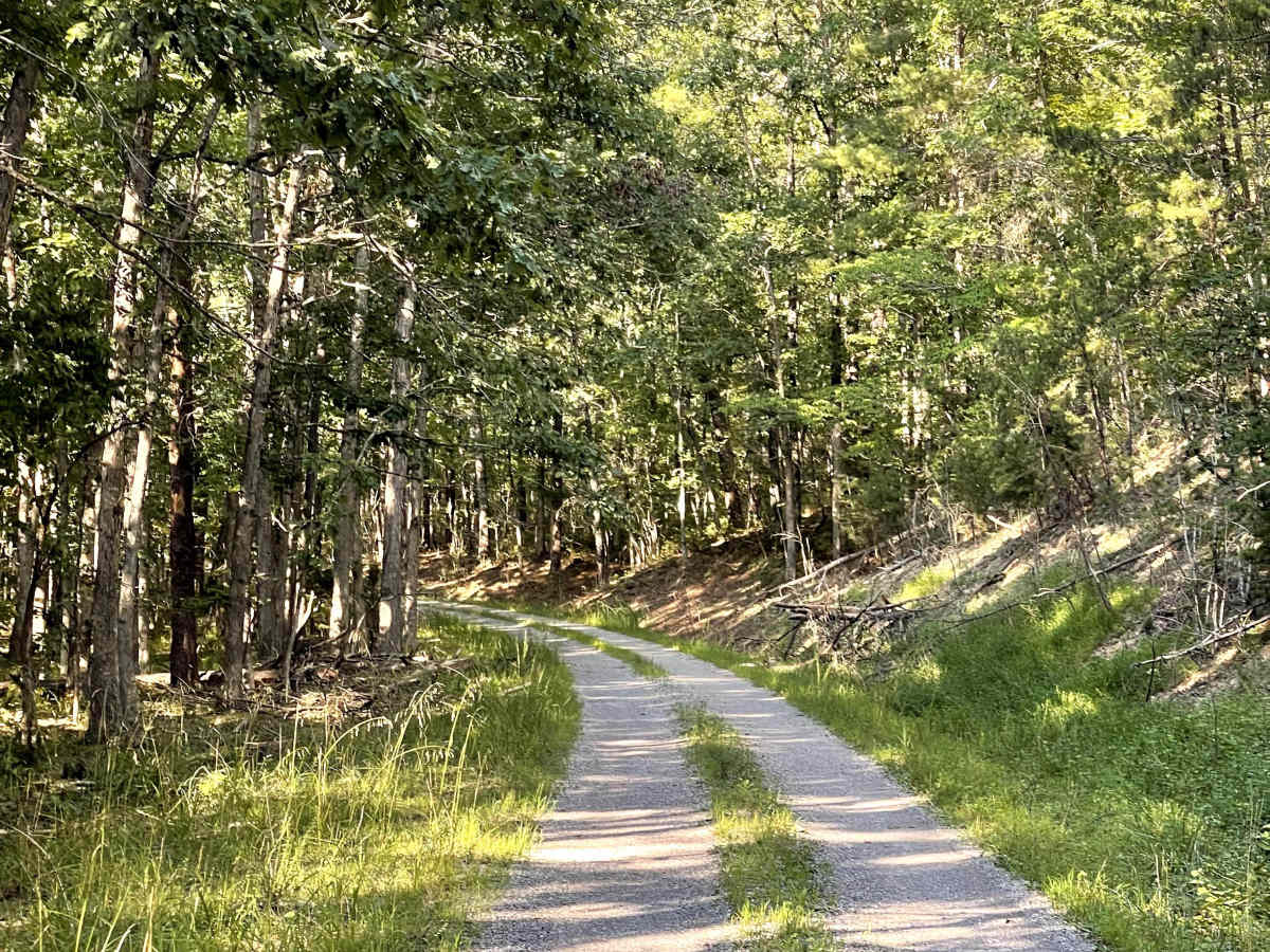
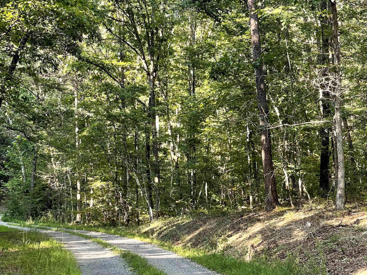
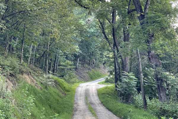
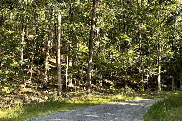
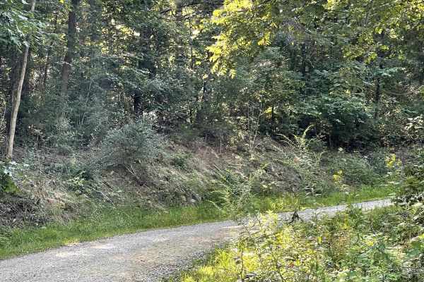
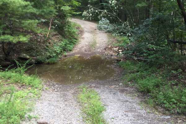
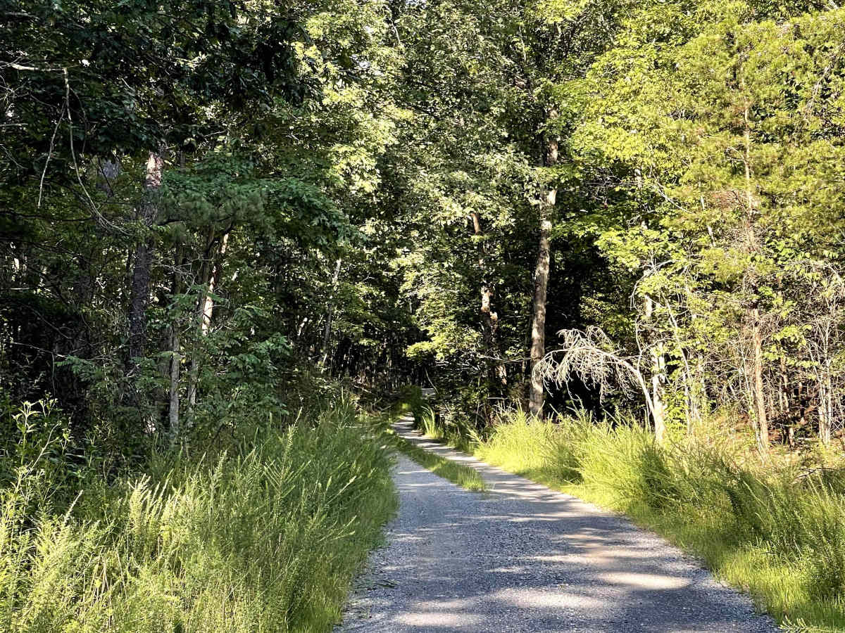
FS 5027 is accessed from Maggie Maw Lane and is the left-hand trail at the fork in the road. This route is a well-maintained, out-and-back Forest Service road consisting of well-packed gravel and is approximately two lanes wide for most of its length. The road is free of major obstacles and provides an easy, comfortable drive through the surrounding forest. Several dispersed camping locations are available along the sides of the trail, providing opportunities for users to stop and enjoy the area. The road is suitable for all vehicles under normal conditions, including standard passenger vehicles. FS 5027 is a good option for users looking for an easy Forest Service road with accessible camping opportunities and a peaceful mountain setting.

Photos of FS 5027

Difficulty

Easy gravel trail suitable for most vehicles.

Technical Rating

1

FS 5027 Trail can be accessed by the following ride types:

  • Single Track
  • High Clearance
  • Full Width

FS 5027 Map

The onX Offroad Difference

onX Offroad combines trail photos, descriptions, difficulty ratings, width restrictions, seasonality, and more in a user-friendly interface. Available on all devices, with offline access and full compatibility with CarPlay and Android Auto. Discover what you're missing today!

Open Trail Map