Turnpike Road

Total Miles1.1
Technical Rating
4Moderate
Best TimeSummer, Fall
Trail TypeFull-Width Road
Accessible By
Open Trail Map

Trail Overview

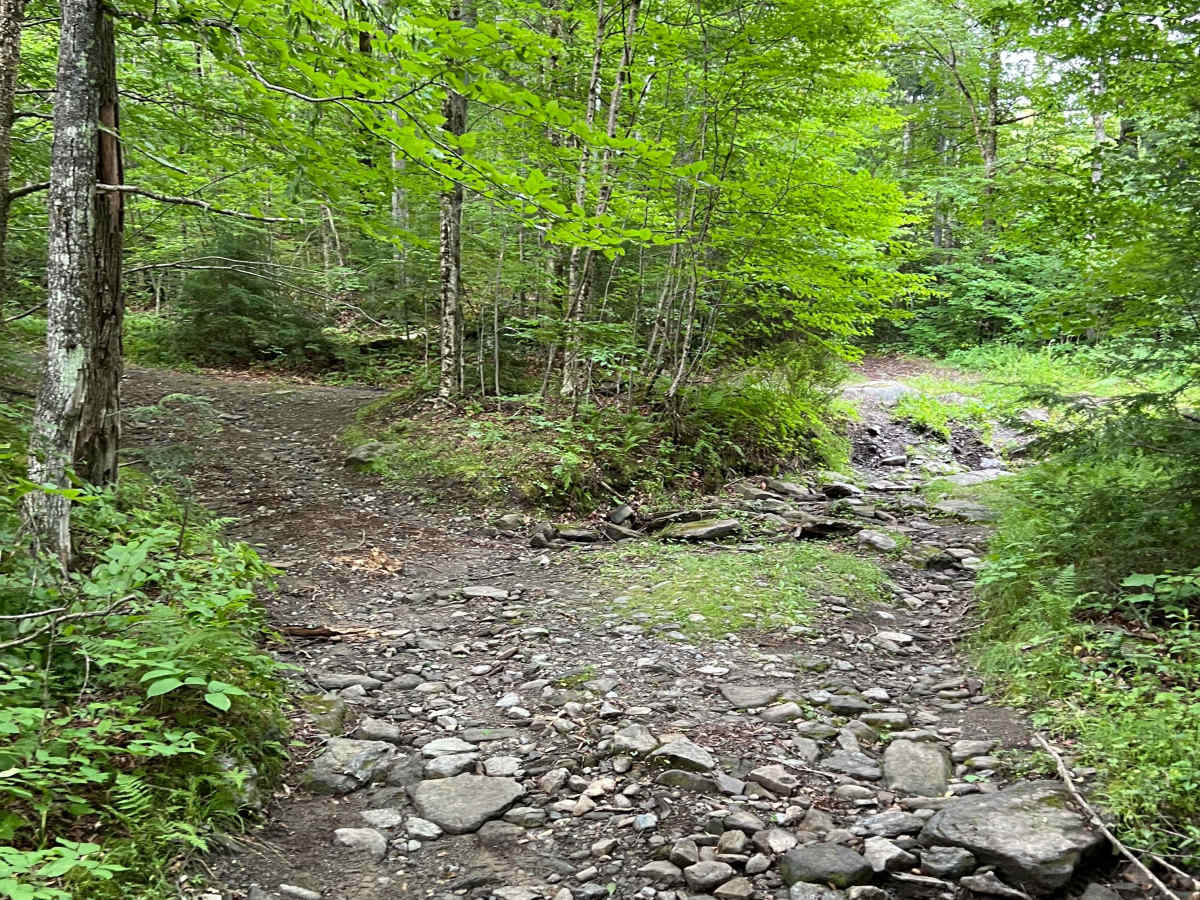
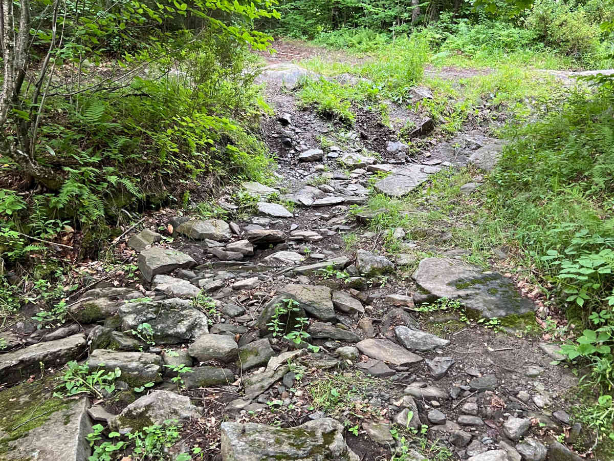
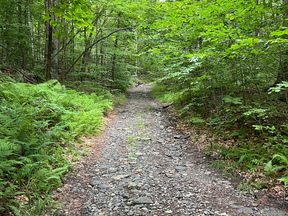
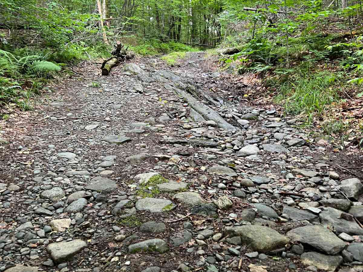
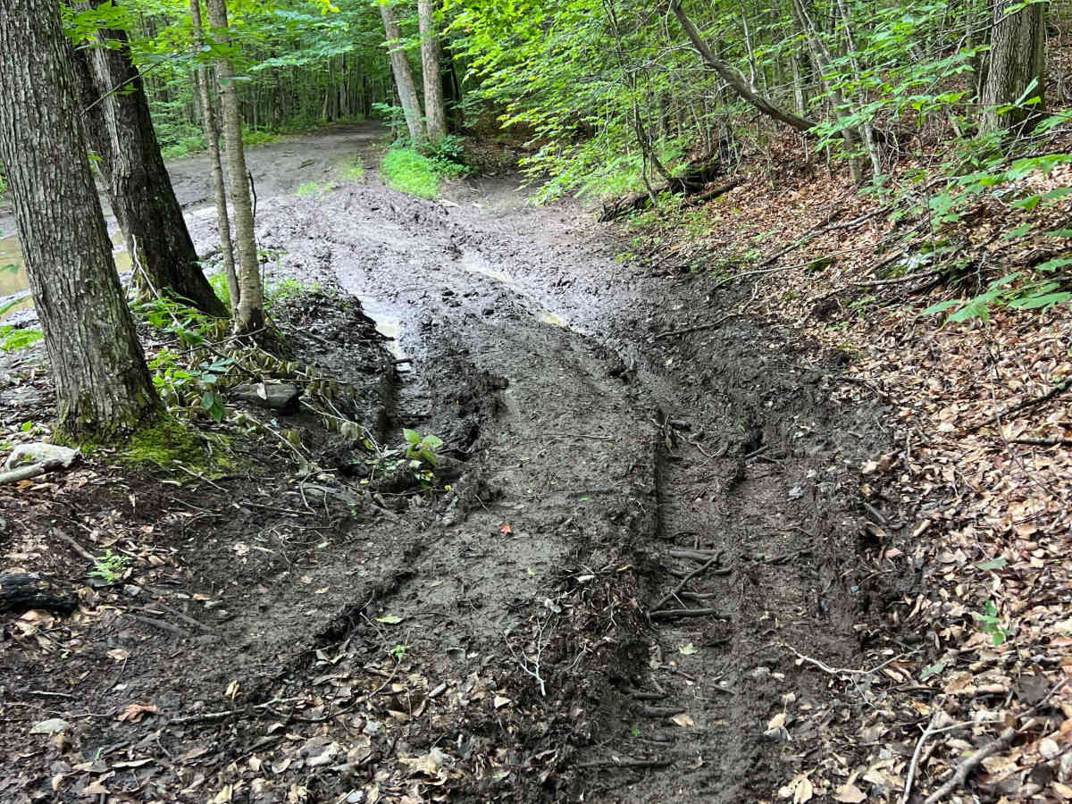
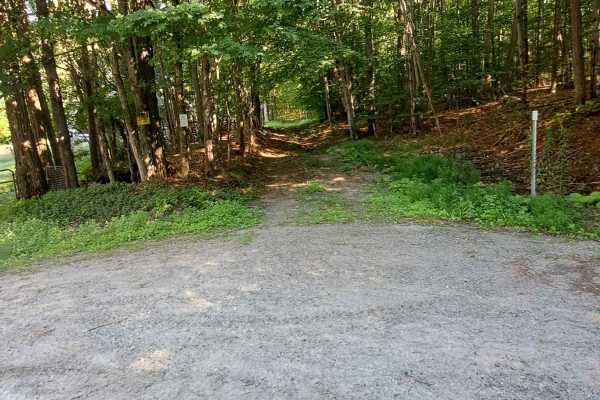
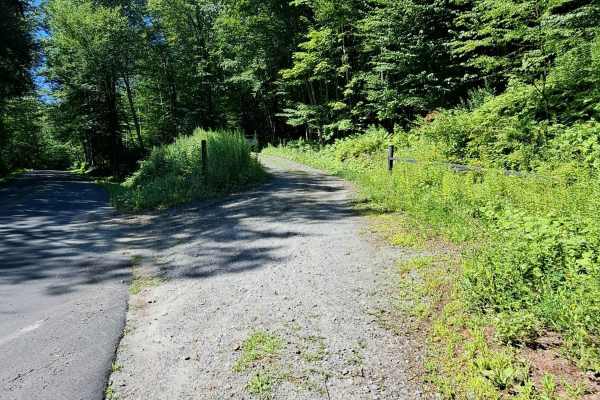
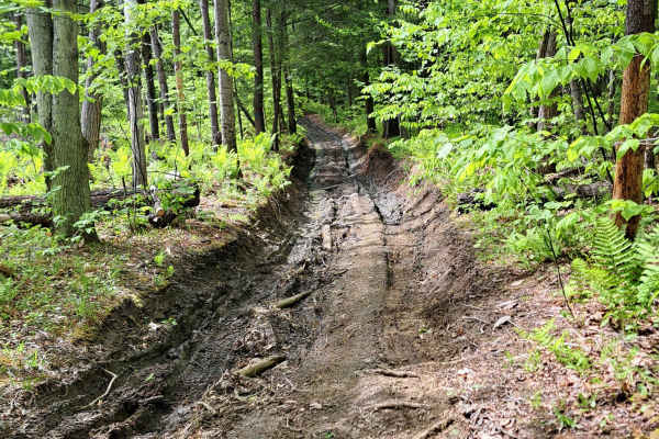
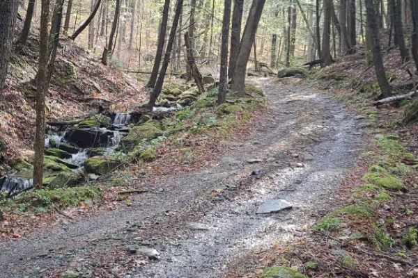
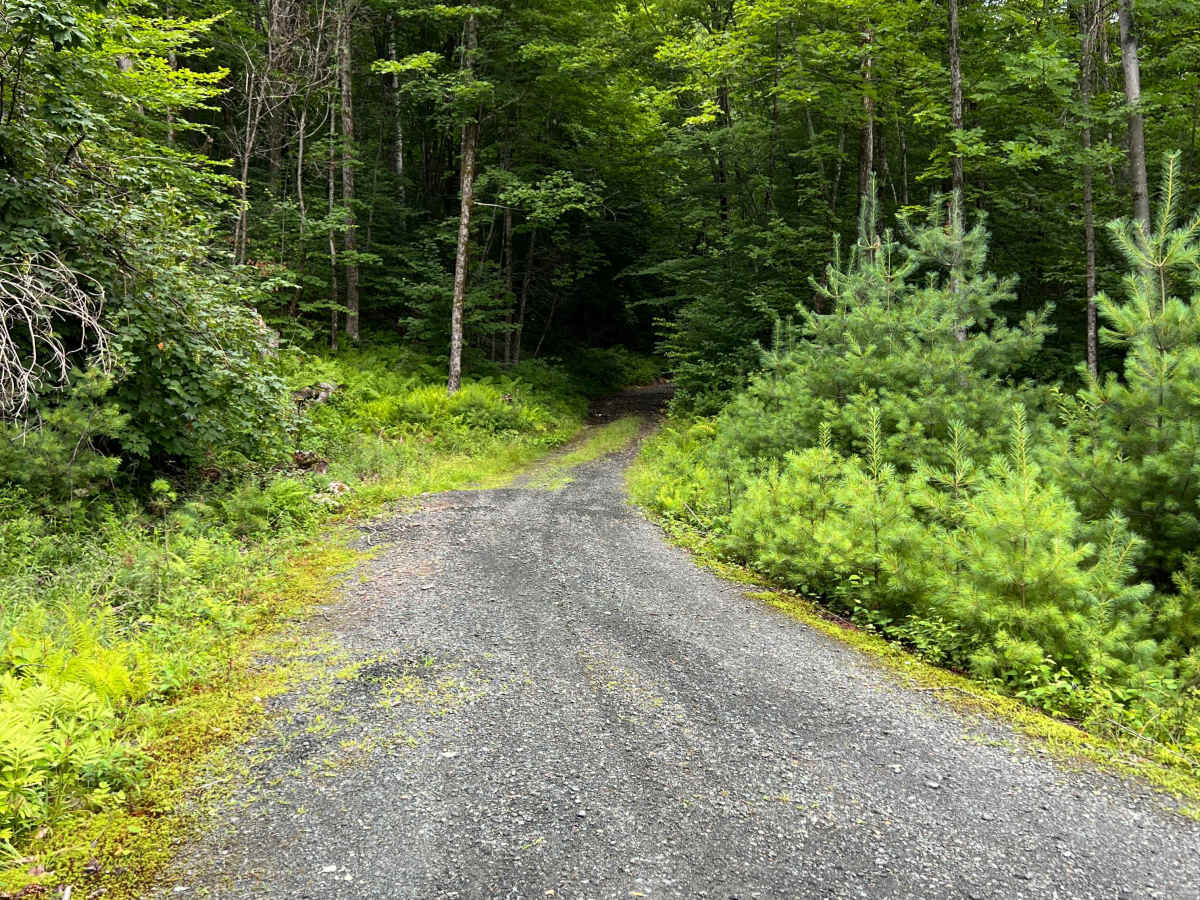
This road is packed with obstacles, mud, and spur roads. One could easily spend most of the day in this area. There are deep mud holes and less deep bypass routes, rocky ledges, and plenty of old structures to view. There is also a spur trail which crosses the power lines, giving access to a stunning view of Dartmouth Hitchcock Medical Center about 9 miles away to the south/east, much of the Connecticut River Valley and beyond. This route also gives way to an old cemetery and the remnants of Elizabeth Mine, an old copper mine, to the north.

Photos of Turnpike Road

Difficulty

Big tires and lockers may be needed in the mud hole at the north end of Turnpike Road; however, there is an alternate route (photos) that is far less challenging. Some parts of TH22, west of the 4-way intersection, have steep, rocky water bars.

Technical Rating

4

Turnpike Road Trail can be accessed by the following ride types:

  • High Clearance
  • Full Width

Turnpike Road Map

The onX Offroad Difference

onX Offroad combines trail photos, descriptions, difficulty ratings, width restrictions, seasonality, and more in a user-friendly interface. Available on all devices, with offline access and full compatibility with CarPlay and Android Auto. Discover what you're missing today!

Open Trail Map