Reservoir Rd

Total Miles1.3
Technical Rating
4Moderate
Best TimeSpring, Summer, Fall
Trail TypeFull-Width Road
Accessible By
Open Trail Map

Trail Overview

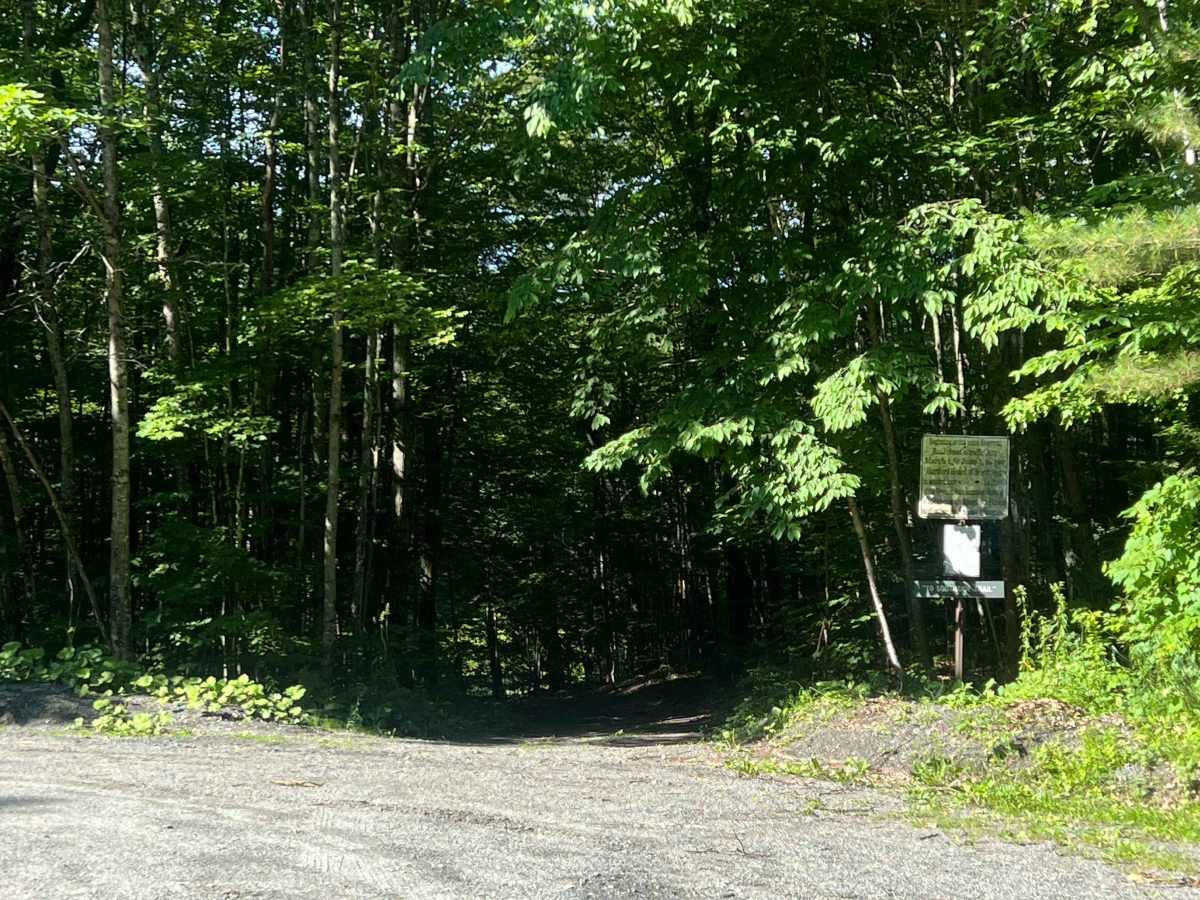
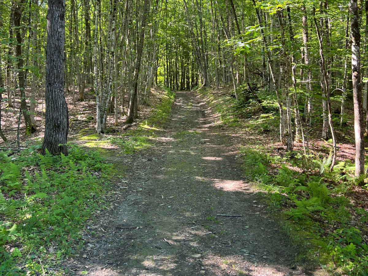
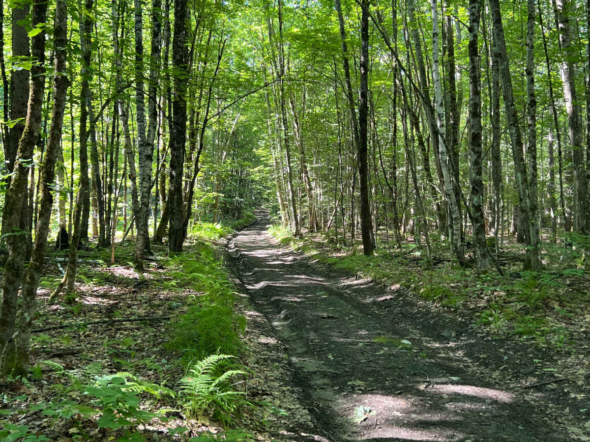
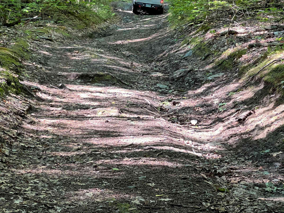
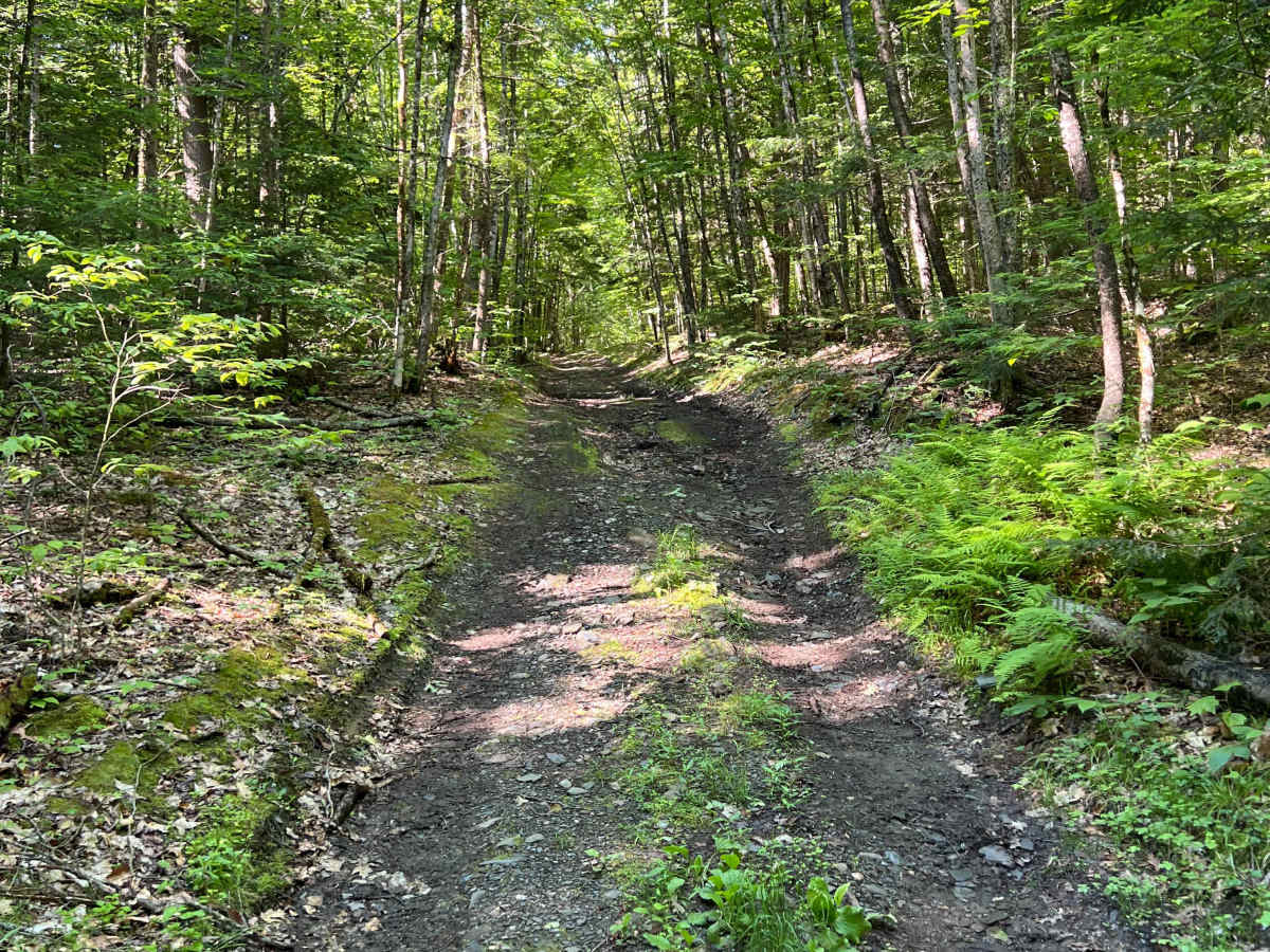
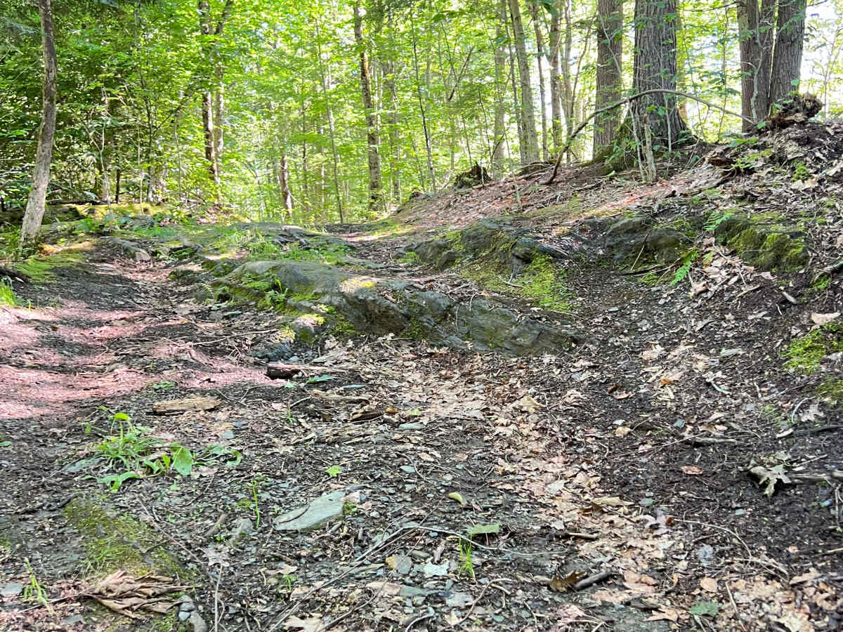
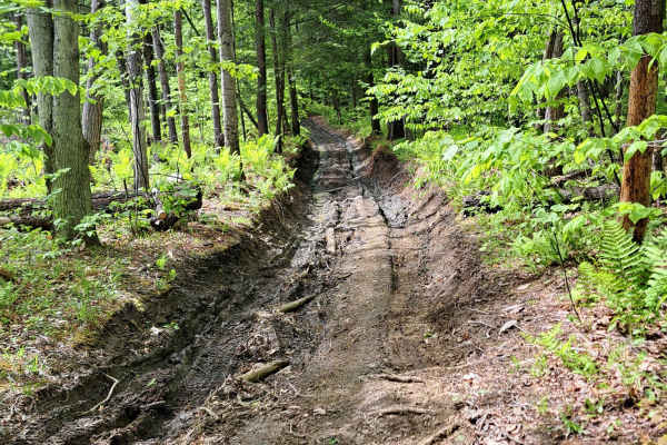
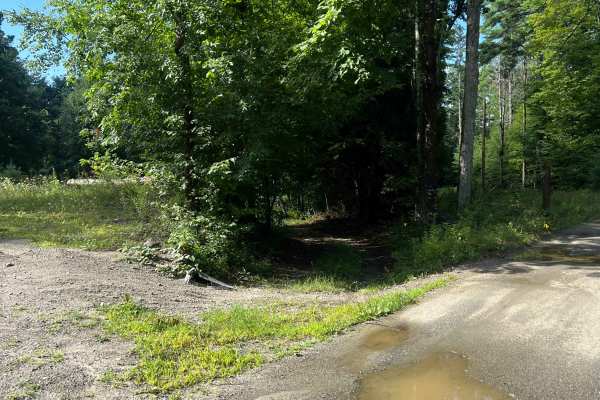
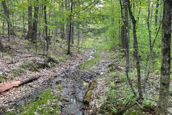
A scenic route located partly in the Hartford, VT Town Forest, full of hiking trails, vernal pools, and wildlife. The south end towers above the Connecticut Valley, offering a spectacular view of the Lebanon Municipal Airport and a massive gravel mine. This trail is through and through; however, the town property portion is seasonal for wheeled vehicles, closing March through May, opening June 1st, with good signs and plenty of room to turn around with a full-size truck if you're there off-season. This Class IV road offers two significant mud holes with clear, short bypass routes, ledges, and is navigable with good tires and high clearance.

Photos of Reservoir Rd

Difficulty

One of the ledges (photo 6) may prove difficult for stock vehicles, especially without a spotter. The mud holes are not a problem, as they have clear bypass routes.

Technical Rating

4

Reservoir Rd Trail can be accessed by the following ride types:

  • High Clearance
  • Full Width

Reservoir Rd Map

The onX Offroad Difference

onX Offroad combines trail photos, descriptions, difficulty ratings, width restrictions, seasonality, and more in a user-friendly interface. Available on all devices, with offline access and full compatibility with CarPlay and Android Auto. Discover what you're missing today!

Open Trail Map