Trail Overview
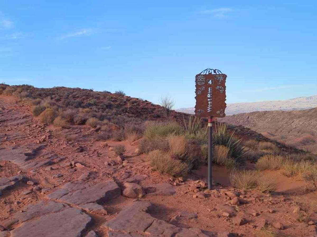
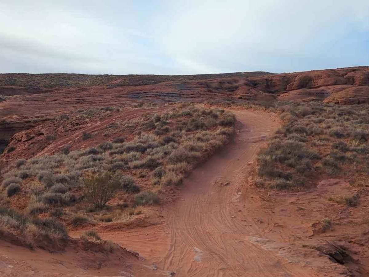
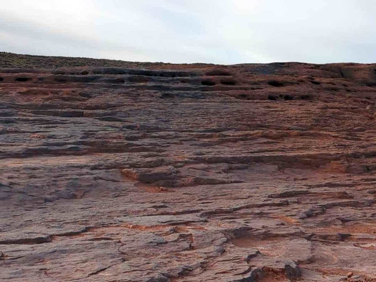
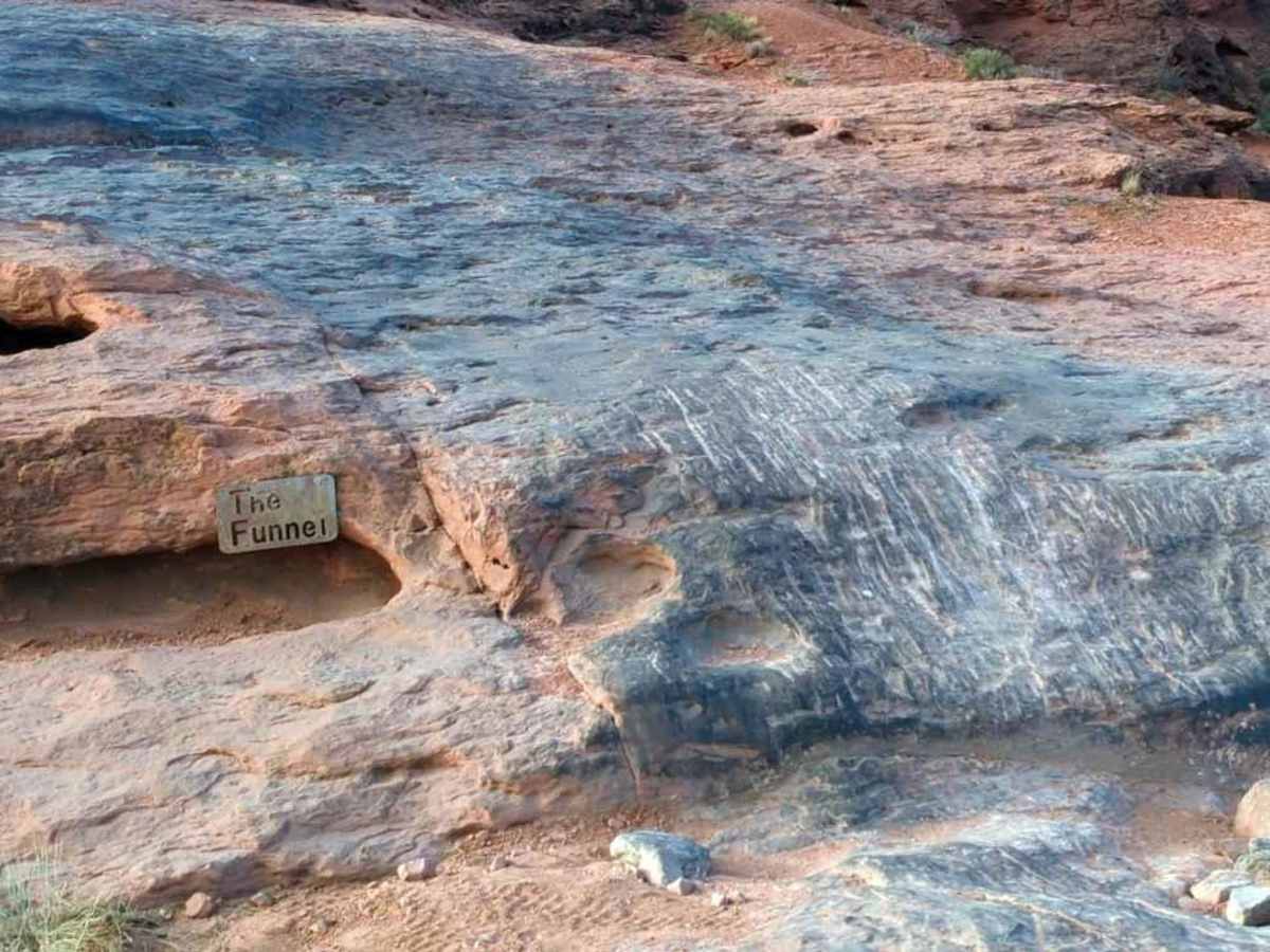
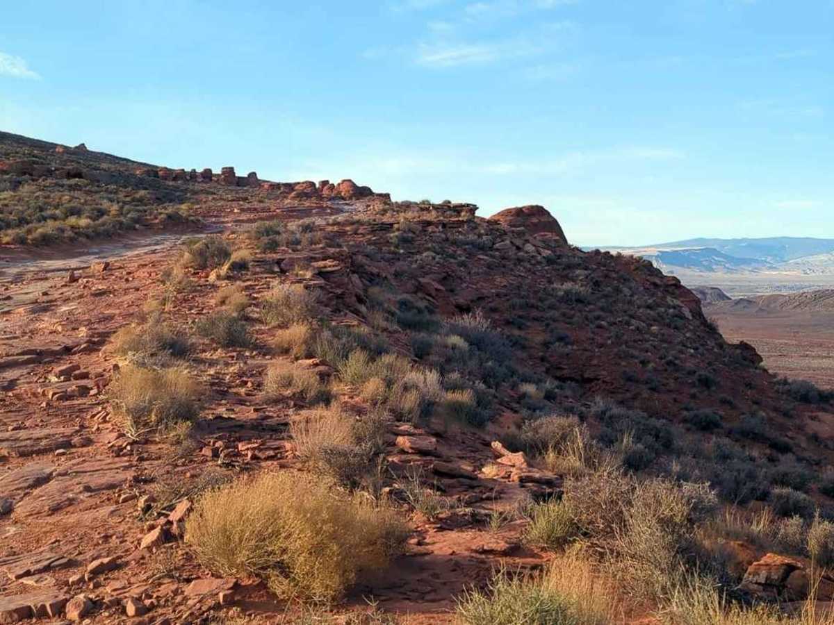
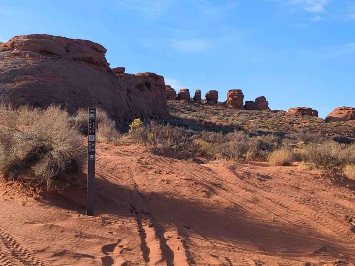
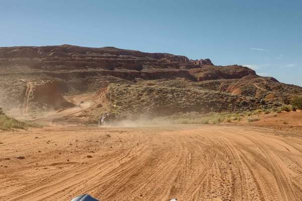
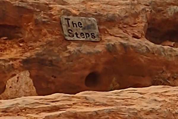
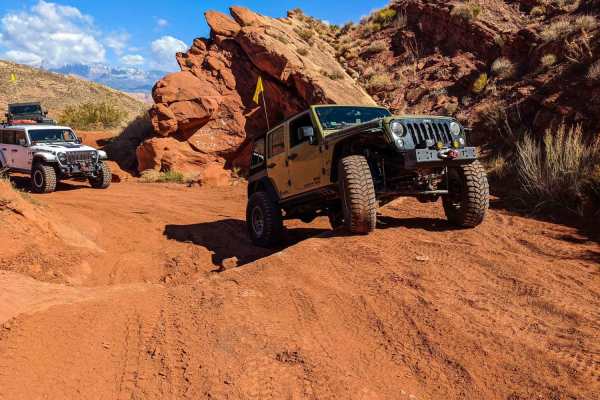
West Rim is a 3.9-mile point-to-point trail rated 5 of 10 located within the Sand Mountain Open Riding OHV Area. West Rim trailhead starts just south of the Pipeline Road where there is an available restroom facility and is marked by a trailhead sign. This is a 5-rated trail that has several named obstacles or features as well as many optional lines which are included on other primary trails. Starting is "The Steps," a series of moderate ledges leading uphill to the obstacle called "The Funnel." Unlike other v-notch obstacles, you are required to traverse down one side and up the other. The trail then follows along the rim overlooking Long Valley. This section of the trail is mostly flat but very rocky in places. The trail goes around a rock dome with the nickname "Leviathan" and arrives at "The Tollbooths." The tollbooths are a series of rock pillars with gaps between. The far left has a large crack that will narrow and pinch the vehicle in. The middle and primary path is a squeeze through which gets a little off-camber towards the end. The right is partially blocked by a large boulder and only has enough room for a quad or motorcycle. Then there is the optional line to the extreme right which has a difficult 4-foot wall to climb. From here the trail continues down along the rim to include a little loop called "Scenic Loop" which runs right along the edge. The loop has trail markers pointing the way down. To exit, follow the trail marker, but note there are three lines out, with the easiest being the first, the primary route, the second, and the most difficult the last. Continuing to follow the trail passes some of the named obstacles found on the more difficult rim trails to include "Plumbers Crack", "Menlo's Choice", and "The V-Notch" all before arriving at the "S-Turn." As the name implies, the trail weaves through several obstacles surrounded by high canyon walls. At this point the trail has arrived at the featured location called "The Lunch Room" which surrounds the area with rock walls and canyon views. Continuing on the trail there are two options. The first is "The Squeeze," which, if you are wider than a stock JK, should be avoided. The second option and now the primary route is to the rim side of "The Squeeze" where there is a 3-foot rock wall which must be climbed to continue down the trail. It is not as tough as it looks, good tire placement is all that is required. The trail culminates in an area known as "The Playground." A series of rock formations that vary in difficulty. The trail ends as it passes the "Hobbit House" feature on the way to the West Rim Road. Cell phone coverage is generally good throughout the trail. The nearest service can be found in Hurricane.
Difficulty
Trail surfaces are rutted, rocky, and sandy with steps not exceeding 24", with considerable slickrock surfaces. Water not exceeding 12" with some mud possible. Good ground clearance and driving skills are needed. 4WD, tall tires (33" plus) and traction adding devices (locker, limited slip) are required. Above average driving skills are desirable. A winch would be a plus. Enhanced suspension travel and good ground clearance are also required.