West Fork Whiterocks - FS 10110

Total Miles10.8
Technical Rating
1Easy
Best TimeSummer, Fall
Trail TypeFull-Width Road
Accessible By
Open Trail Map

Trail Overview

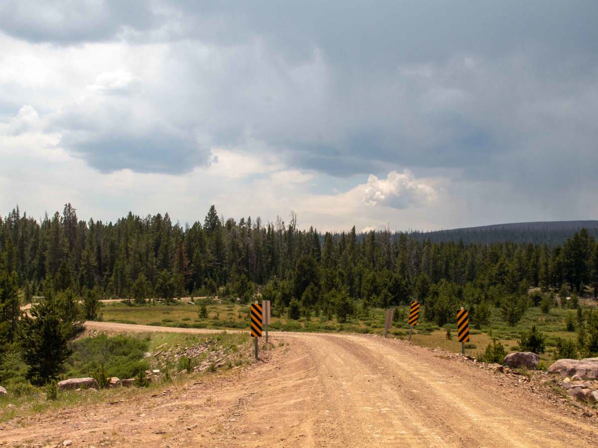
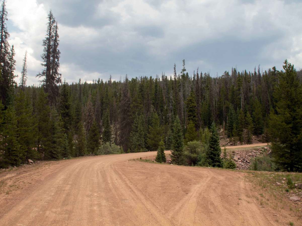
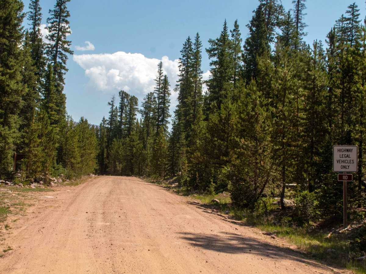
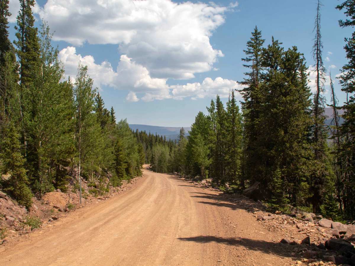
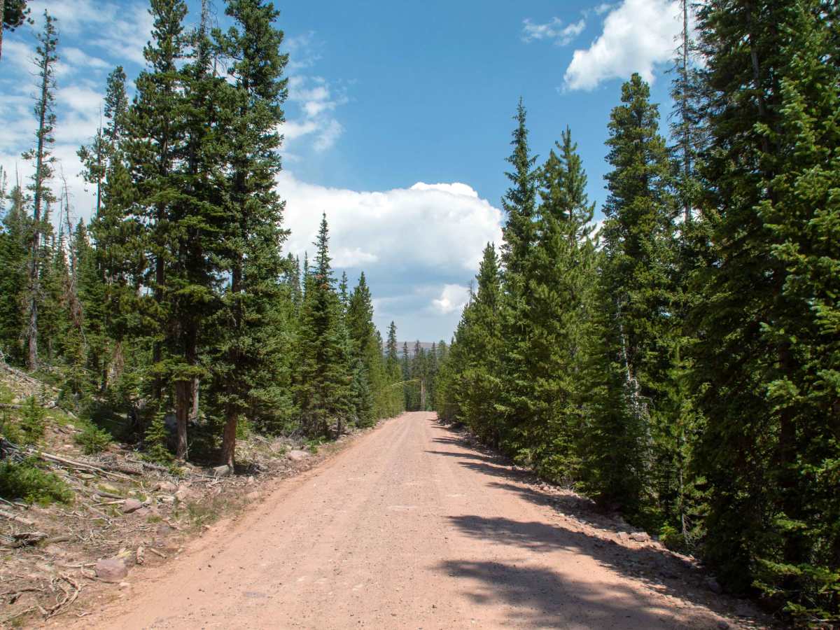
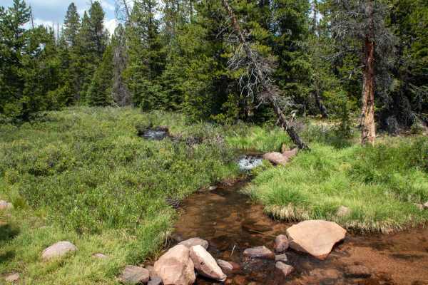
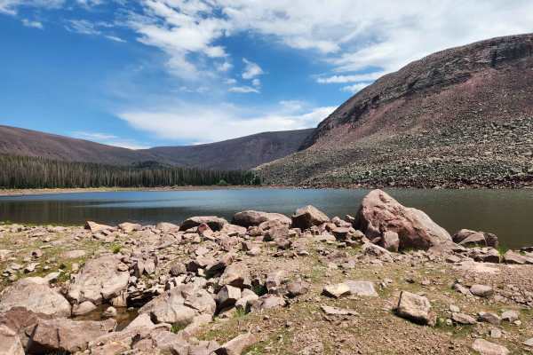
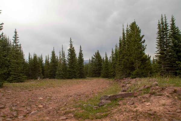
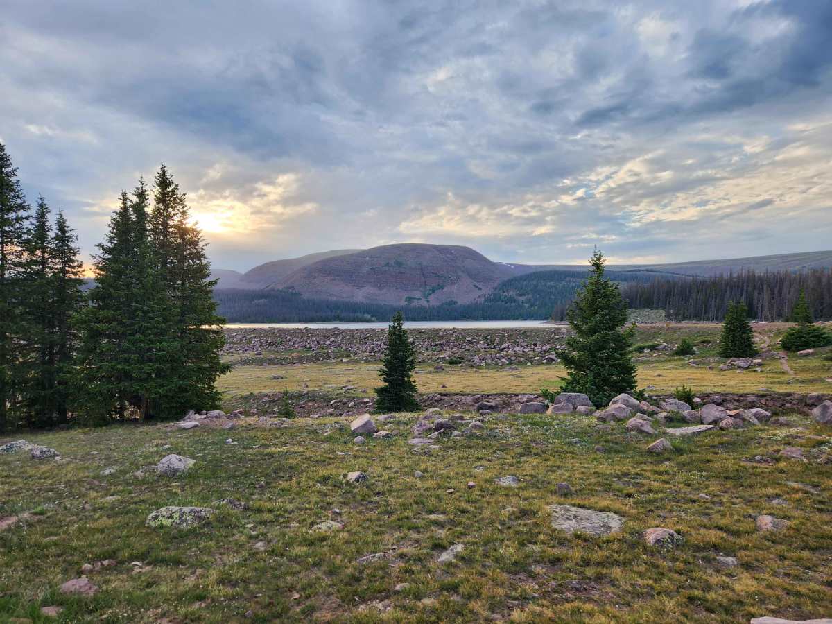
This trail is an out-and-back trail that runs 10 miles north from Elkhorn Loop up to the parking lot for Chepeta Lake, which sits at just about 10500 feet in elevation. This trail is an easy gravel road that is well maintained and stays 2 vehicles wide throughout the trail. As you head up the hill, the trail travels through the forest, passing through some clearings and crossing over some rivers as it climbs to the reservoir. This trail provides access to many hiking trails as it travels into the high country, and the trailhead at the end connects to the Uinta Highline Trail. This trail is open to highway vehicles only and has no seasonal closure date, but the trail will be impassable due to deep snow during the winter and spring months of the year.

Photos of West Fork Whiterocks - FS 10110

Difficulty

Well-maintained gravel road that has no major obstacles.

Technical Rating

1

West Fork Whiterocks - FS 10110 Trail can be accessed by the following ride types:

  • High Clearance
  • Full Width

West Fork Whiterocks - FS 10110 Map

The onX Offroad Difference

onX Offroad combines trail photos, descriptions, difficulty ratings, width restrictions, seasonality, and more in a user-friendly interface. Available on all devices, with offline access and full compatibility with CarPlay and Android Auto. Discover what you're missing today!

Open Trail Map