Trail Overview
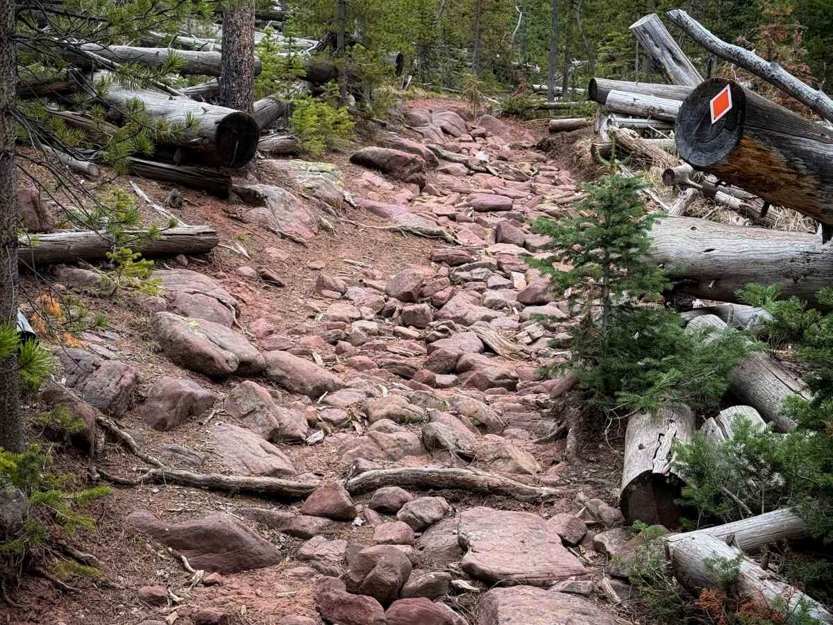
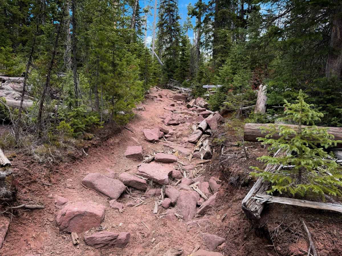
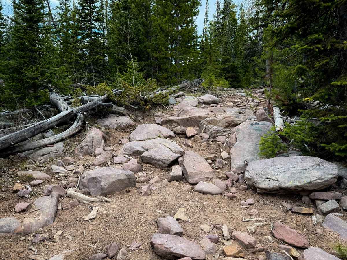
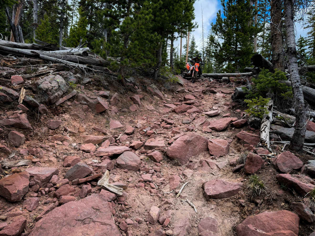
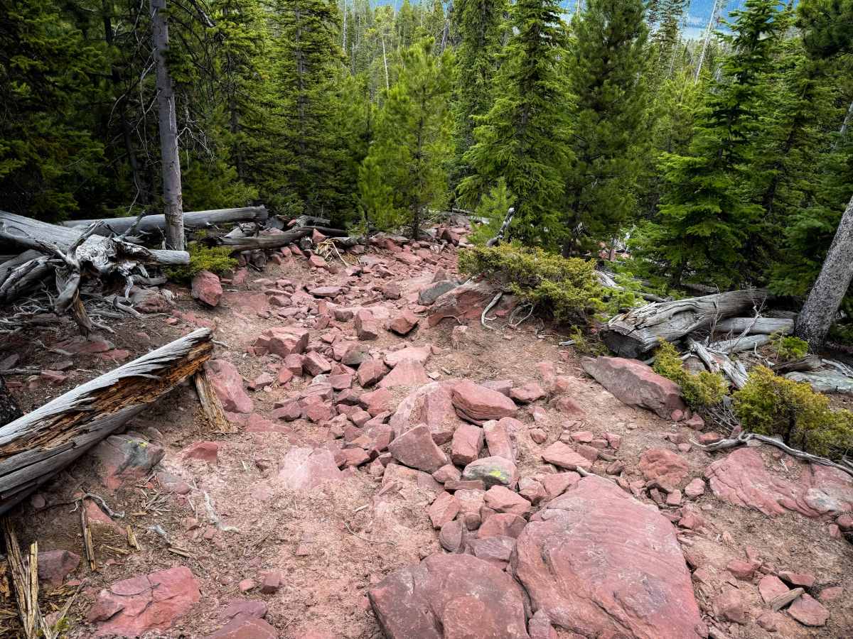
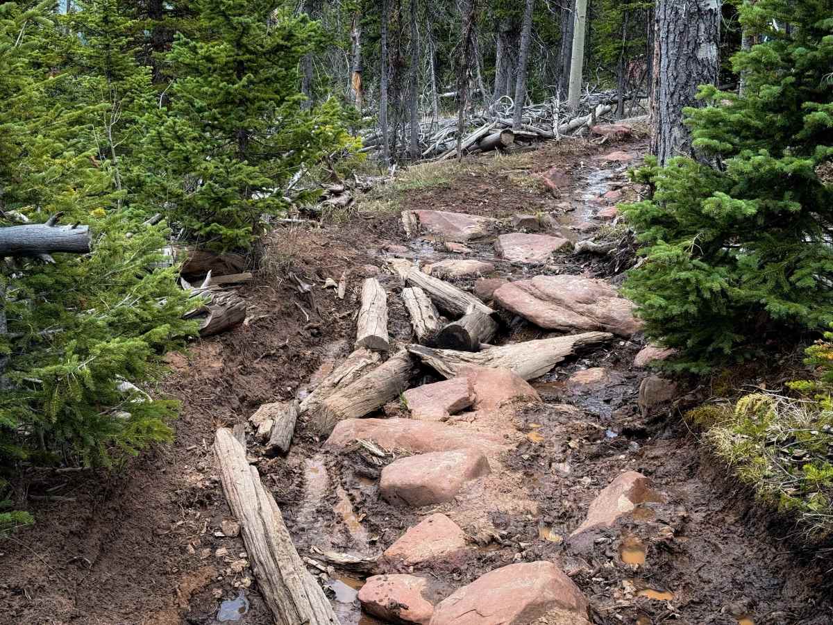
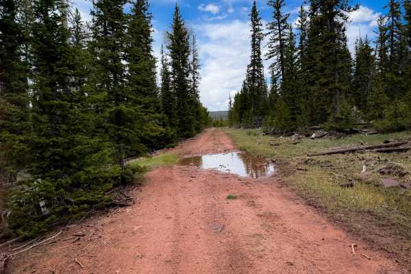
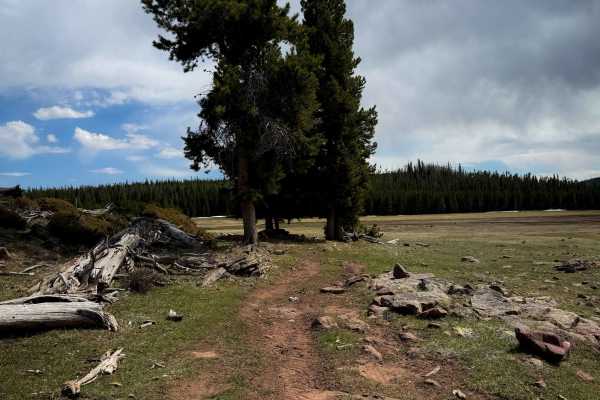
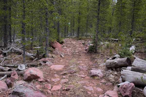
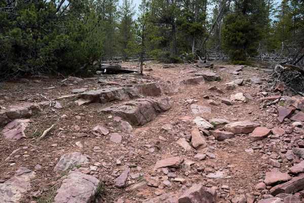
The Uinta Highline is a 3-mile section of advanced ATV trail that is a constant rock garden full of large boulders. From the west entrance, it is marked with 4 black diamonds and “Most Difficult” on the trail sign, and is very rocky right away. The trail starts out like a steep trough between the trees, full of big embedded slabs of rock, with roots mixed in. It climbs up steeply through the rocks until it smooths out on top of the climb for a short segment. After a half mile, there is a caution sign warning of more upcoming obstacles, and then the trail steeply descends for the next two miles, while it is covered in large chunks of loose rock that make it difficult to maintain a steady rhythm without getting pinged around. It is difficult like this for a long section, just riding over frequent piles of loose rocks and boulders. Some of the boulders are more like small ledges that will require articulation and proper tire placement to get through; however, they aren’t off-camber or exposed – just chunky and slow going. Some sections of rocks have loose logs filling in the holes, and some of the sections were muddy in the springtime, making the rocks slippery. It mellows out near the east end when it pops out into a meadow, crosses a bridge, and ends at the Highland Trailhead. The trail was mostly clear of logs, but there were a couple of small downed logs that will be a hazard and likely need to be cut for ATVs to pass through.
Difficulty
This is a very difficult section of ATV trail because it is constantly full of rocks and boulders for the entire 3-mile route. There are small ledges, frequent rock gardens, muddy ruts, roots, and steep grades. This is one of the more advanced sections of trail in the trail system, and is recommended for more experienced riders only.