Trail Overview
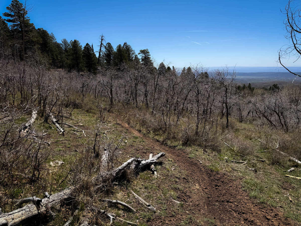
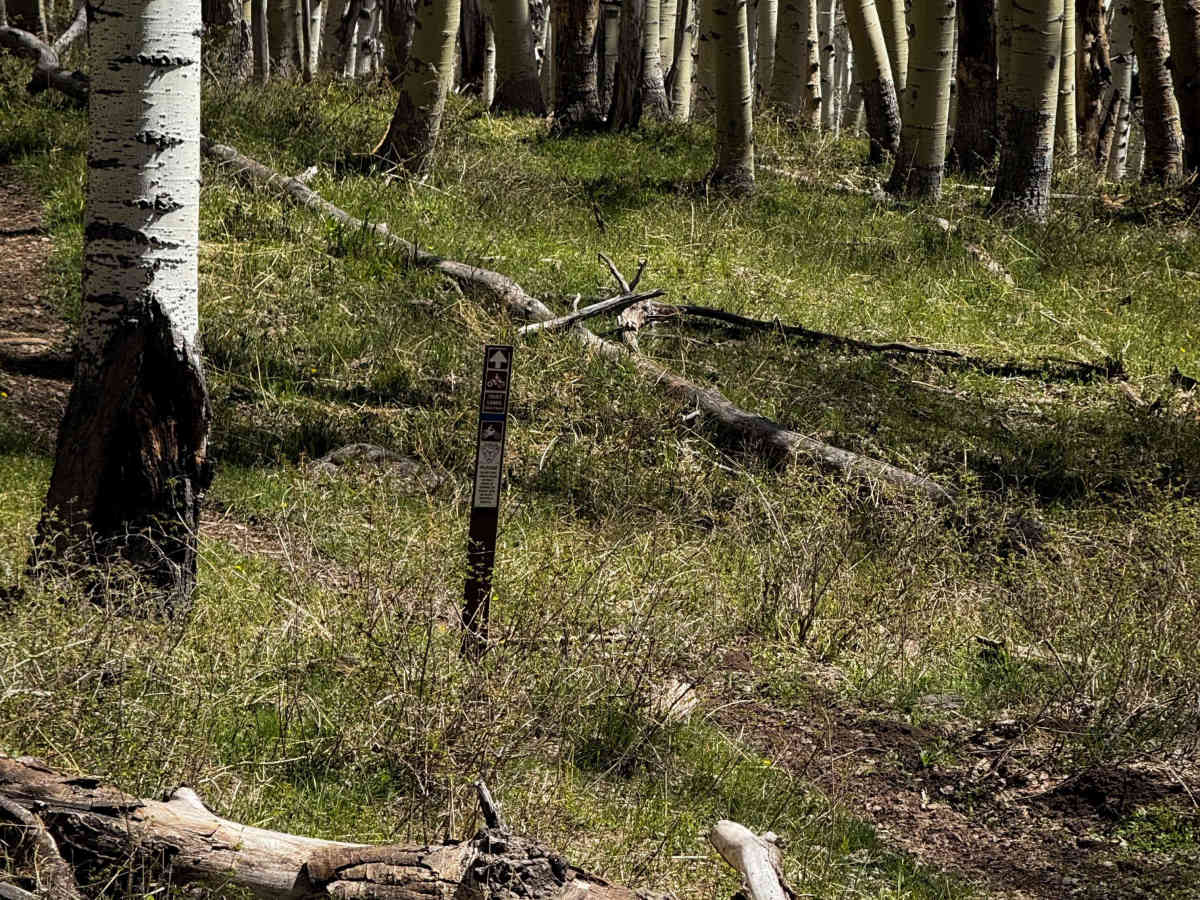
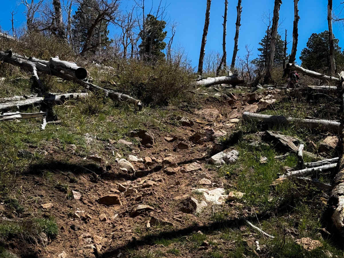
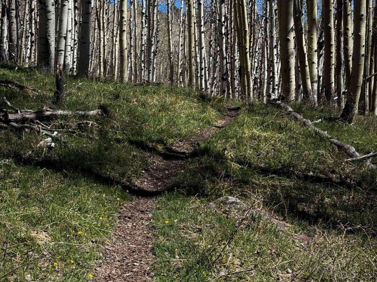
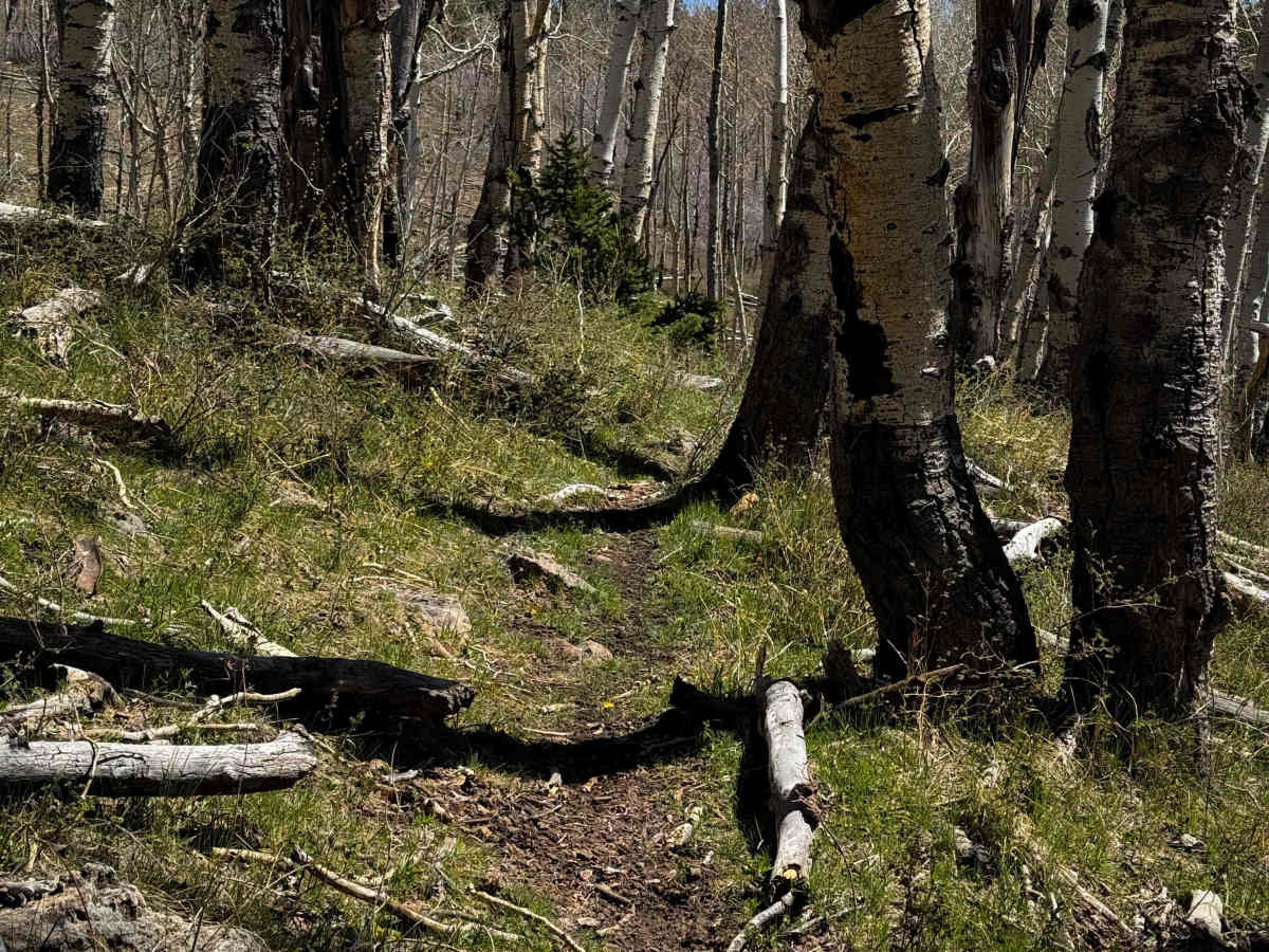
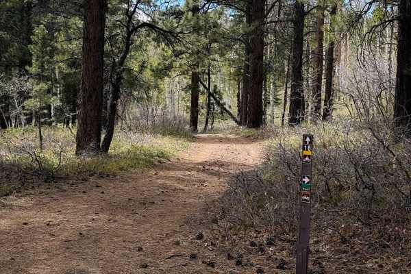
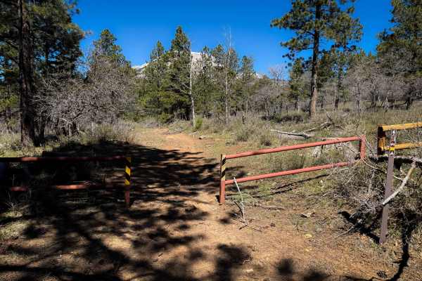
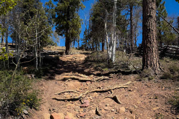
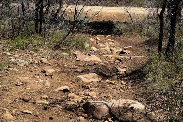
This is a 1.6-mile-long segment of scenic and flowy alpine single track through Utah State Trust Lands. The trail itself is easy, just meandering through aspen-covered grassy hillsides. The trail is mostly a skinny, smooth dirt singletrack, with several tight curves, short climbs and descents, and only a few rocky sections. However, the presence of logs or new downfall can quickly elevate the difficulty. This appears to be a well-maintained trail system where newly downed logs will likely be cut for the season; however, there were still a few larger logs that looked pretty old, and riders have stacked more logs on each side to make ramps to get over the obstacle. There was a small stream crossing that also had a big downed log in it, which made it slippery and more difficult to cross. The trail crosses the OV353439 Road and continues on another short section of single track that meets up with Geyser Pass.
Difficulty
The trail itself is relatively easy and flowy, with a few minor rocky sections; however, the difficulty can vary based on the presence of logs and whether they get cleared or not. (It appears to be a well-maintained trail system where logs will get cut). There will likely be more downfall in the early season as well. Several log obstacles seemed to be permanent fixtures of the trail, and a small stream crossing. Expect short, steep climbs, but no major rock ledges.