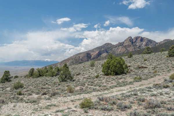
Trail Overview
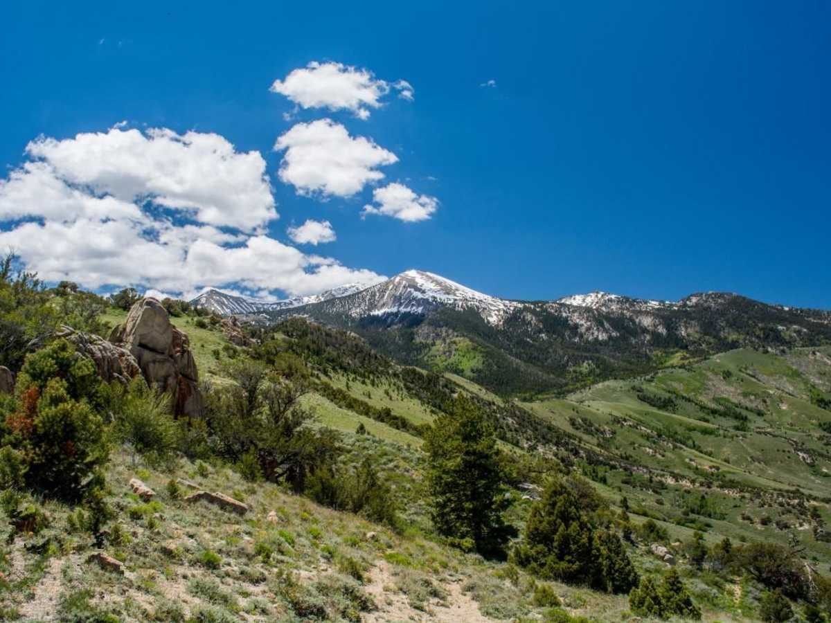
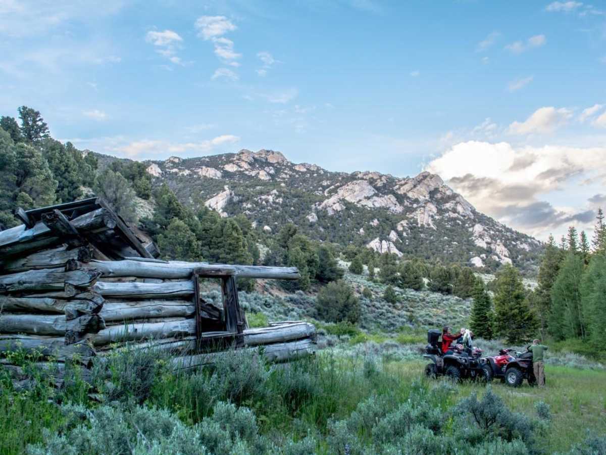
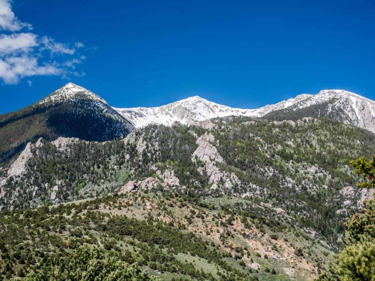
Toms Canyon is an 8.5-mile off-road trail in the Deep Creek Mountains of Utah's West Desert. Rated a 3 out of 10, the route is ideal for ATVs, UTVs, and high-clearance 4x4 vehicles. Full-size vehicles may struggle with narrow, brushy sections.
The trail climbs from 5,938 feet to 8,491 feet, featuring rocky terrain, steep climbs, and historical mining relics. Because of its remote location, visitors must be entirely self-sufficient with recovery gear, water, and extra fuel. Staying on the designated trail is critical to preserving public access within this sensitive area.
History
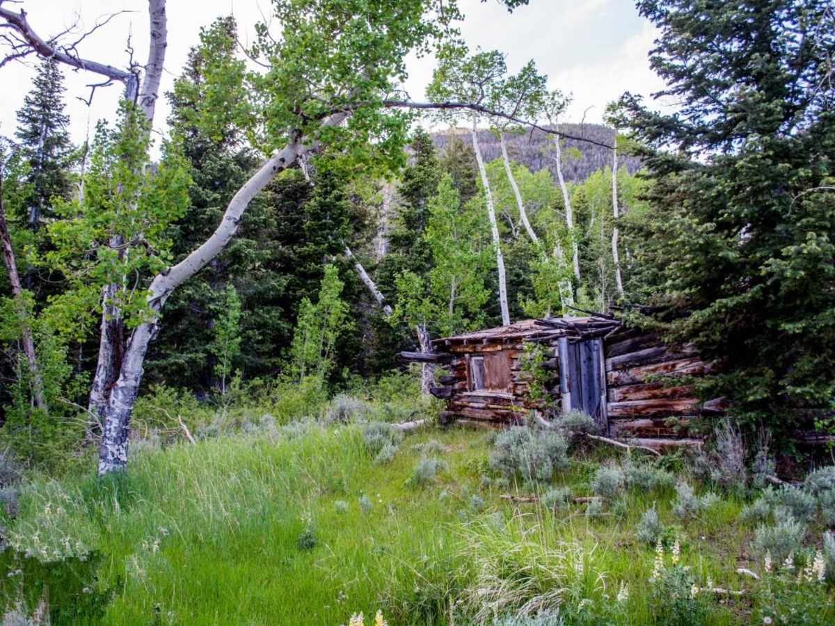
The trail corridor features historical mining relics, old cabins, and structures dating back to early West Desert exploration. The route itself was a key subject in a legal battle regarding public access; it was successfully reopened from Wilderness Study Area status after local advocates proved the road had a long history of continuous public use.
Access Description
The trail is located in an extremely remote portion of the West Desert. There are no services, water, or cellular coverage nearby, requiring all visitors to be fully self-sufficient. It is crucial to stay strictly on the established roads to prevent closures, as the area resides within highly sensitive lands historically subject to wilderness preservation debates.