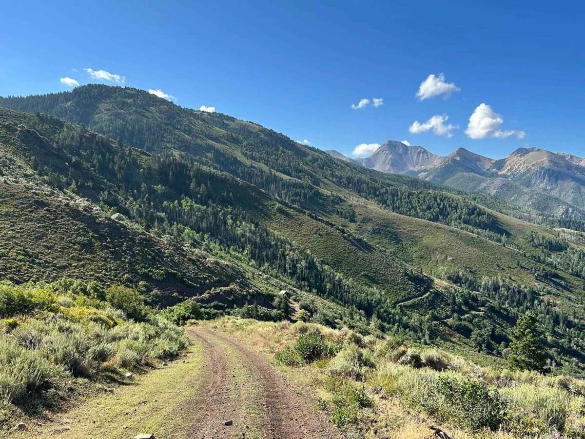
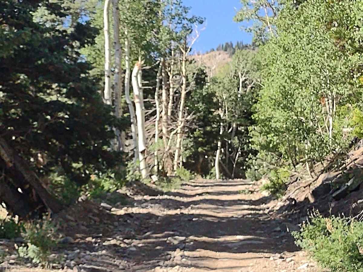
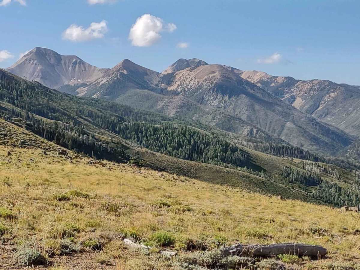
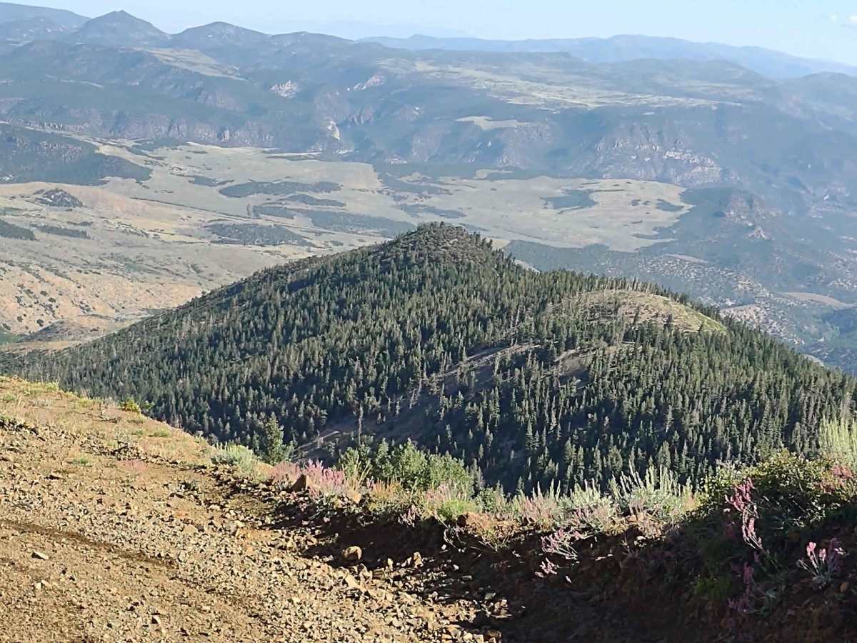
Trail Overview
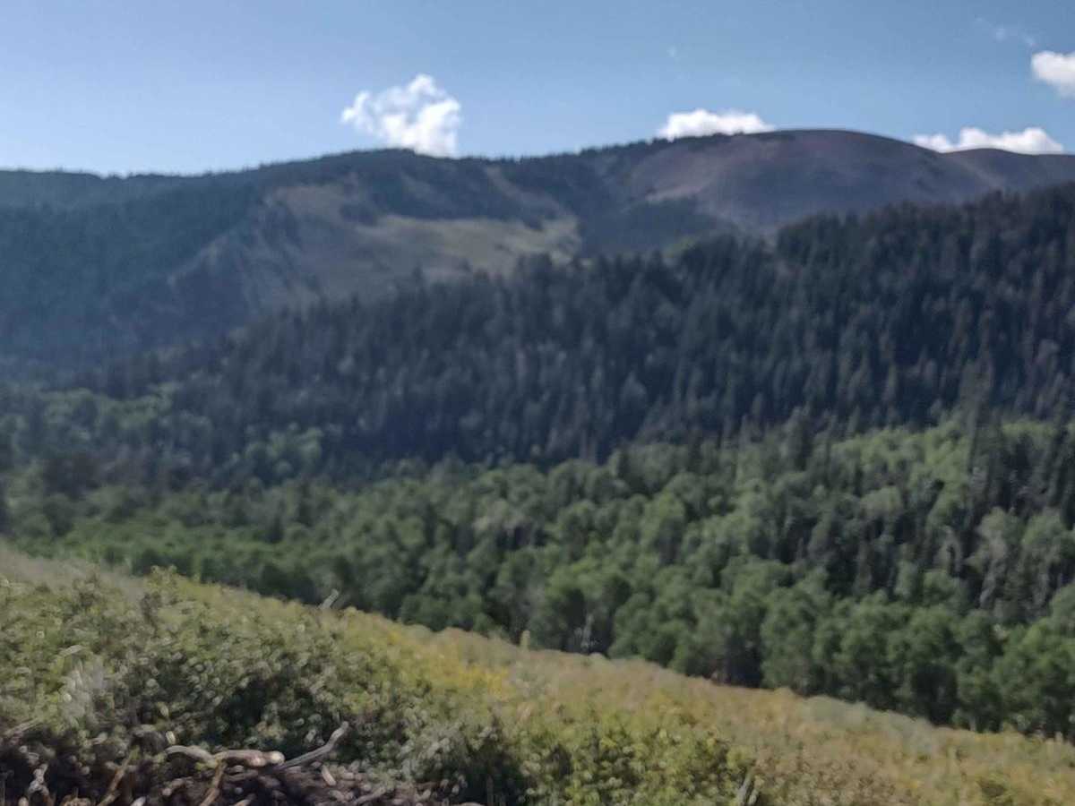
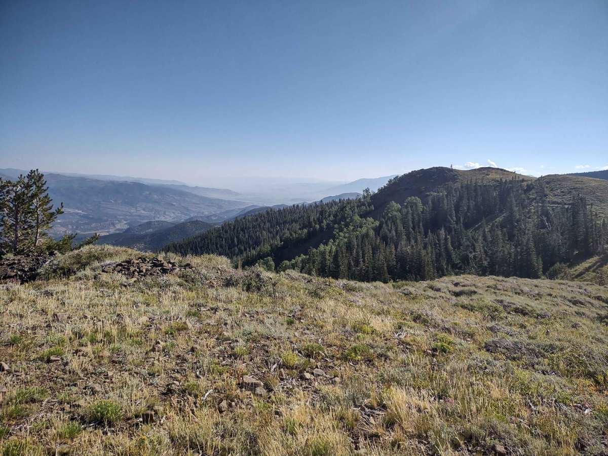
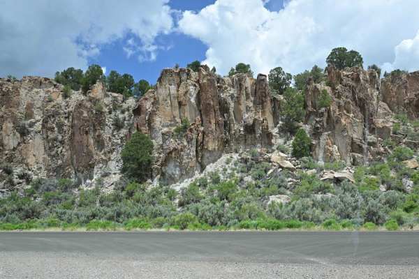
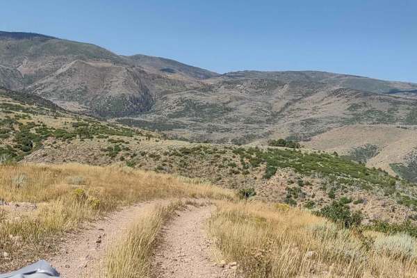
On its east end, this trail starts at the Paiute ATV Trail-Silver King Mine to Fremont State Park Loop trail (Kimberly Road), which shows as a 50-inch trail--but it's not. It's a full-size trail. There are trucks, campers, and horse trailers up here. So if you're full-size, go and enjoy this trail! At the turn-off of Silver King Mine to Fremont trail, there is a sign that says "This area closed." Forest Service Rangers say that the road is open. Private property owners there cannot close the road. The sign refers to their private property, but the trail is open. You cross Middle Fork Mill Creek and pass through the forest as you wander across the Fishlake National Forest at almost 10,000 feet. When you arrive at Tip Top, there is a large parking area so you can stage photos of vehicles, take photos of scenery, or have a picnic. The views are simply amazing. You see the back side of the Tushar Mountains, as well as valleys and mountains in the distance in every direction. The trail is easy. There are some rocks and some inclines, but nothing too big or too steep. From the top, the trail winds down the backside towards Line and Hop Canyons, which both offer great hikes. On a heavy snow year, this trail won't be open until early July at the latest.