Trail Overview
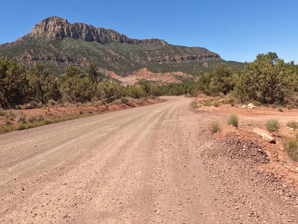
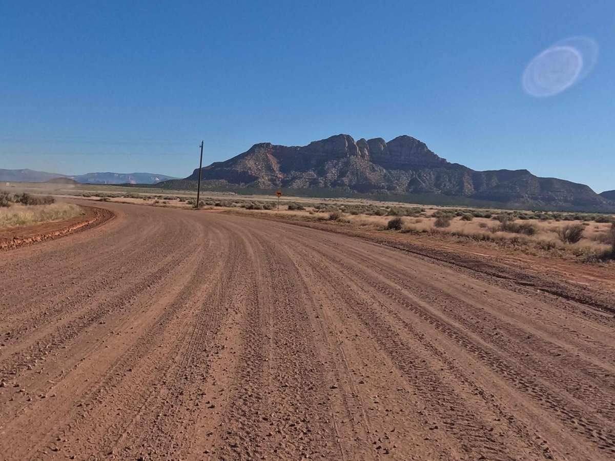
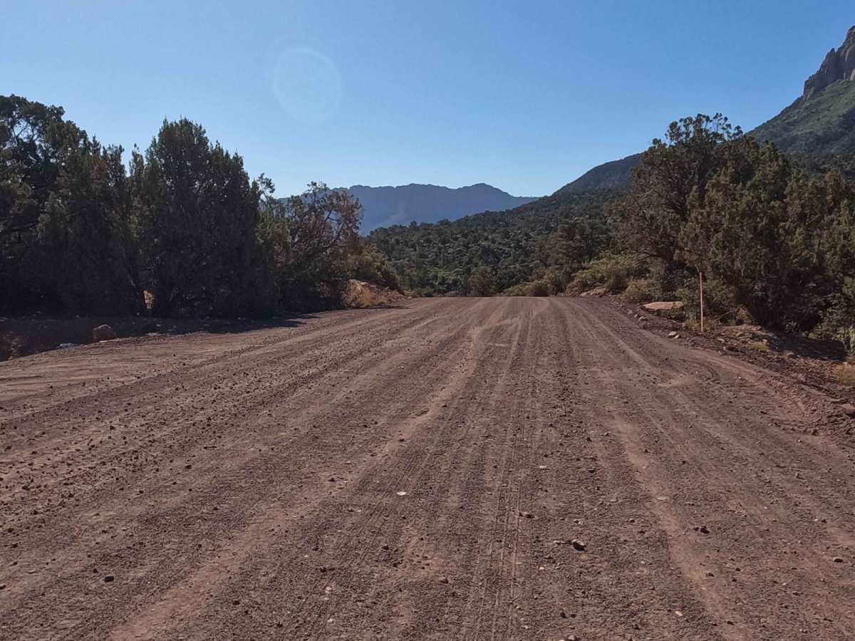
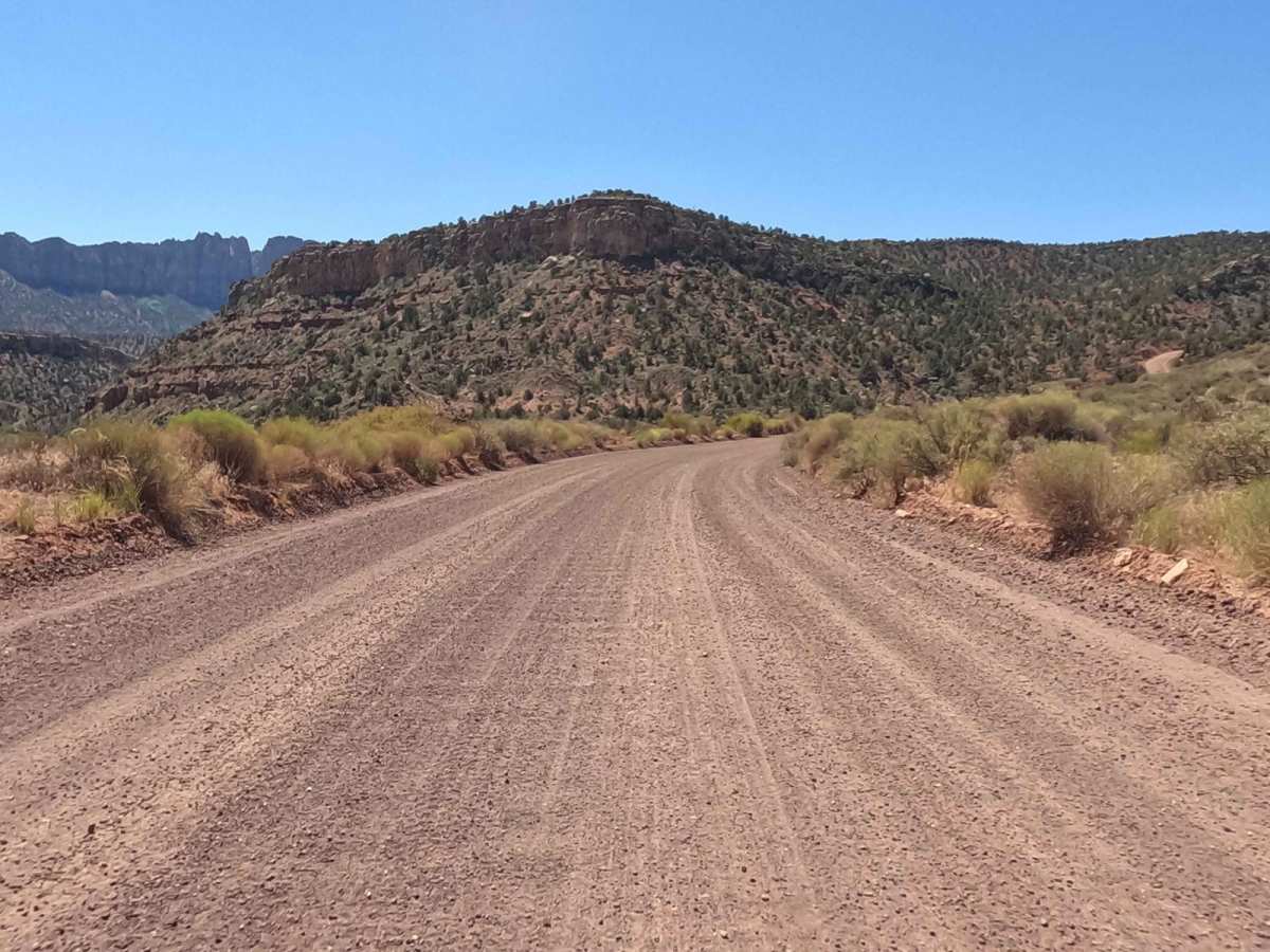
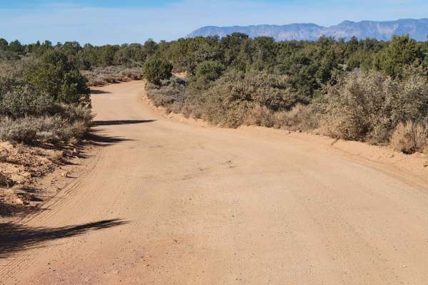
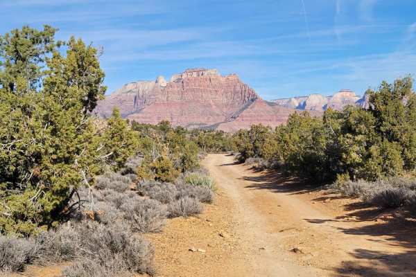
The Smithsonian Butte Backcountry Byway is a scenic, beginner-friendly corridor that offers four-wheel-drive vehicles, SxSs, and standard passenger cars a stunning shortcut between Highway 59 and Rockville near Zion National Park. Spanning 7.7 miles, this well-maintained gravel road winds through southern Utah's striking red rock landscape, climbing to a maximum elevation of 4,951 feet while providing panoramic views of Smithsonian Butte and the surrounding Zion Canyon. Originally a rough and rugged track, thousands of truckloads of road base have transformed the route into a smooth, stable surface suitable for almost all vehicle types in nearly any weather condition. Traveling north from Highway 59, the route descends more than 1,100 feet to Rockville, offering a direct link that can shave nearly an hour off travel time to the park's west entrance.
With a technical difficulty rating of 1, the byway presents minimal obstacles, though drivers heading south from Rockville should expect a steep climb with occasional washboards where two-wheel-drive vehicles frequently lose traction on the loose gravel. A strict 25 mph speed limit is enforced to reduce dust and prevent flying rocks, which is critical because the area is highly frequented by hikers, mountain bikers, and open-air off-roaders. The route serves as an entry point to several notable destinations, including Grafton Mesa and Gooseberry Mesa, both famous for world-class mountain biking trails and views of the terrain used for the Red Bull Rampage. The byway remains open year-round, but courteous driving and caution around non-motorized recreationists are essential for preserving the multi-use nature of this iconic scenic route.
Difficulty
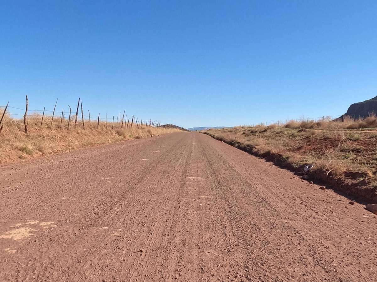
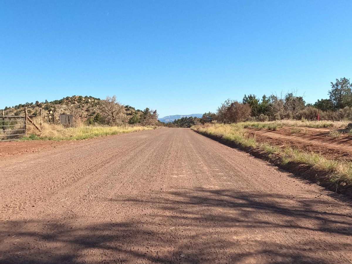
This road was recently upgraded so it is now easily traversed by almost all vehicle types. It is a gravel road, so maintaining the 25 MPH speed limit does help with limiting the throwing of rocks. This area does not get much rain, so the speed limit also helps with dust reduction. This is especially important, as the area is frequented by bicycles, hikers, and open riding vehicles. Courtesy is greatly appreciated by all. For those using the road from Zion to Route 59, the trip uphill is somewhat steep and often contains some washboard areas, as many 2WD vehicles spin tires on the gravel during the climb.
Access Description
The Smithsonian Butte Backcountry Byway is managed by the Bureau of Land Management (BLM) and local county authorities. A 25 mph speed limit is strictly enforced to protect non-motorized recreationists, control dust, and reduce loose gravel hazards. There are no fees or permits required to drive the byway, but motorized vehicles should yield to mountain bikes, hikers, and equestrian traffic.