Trail Overview
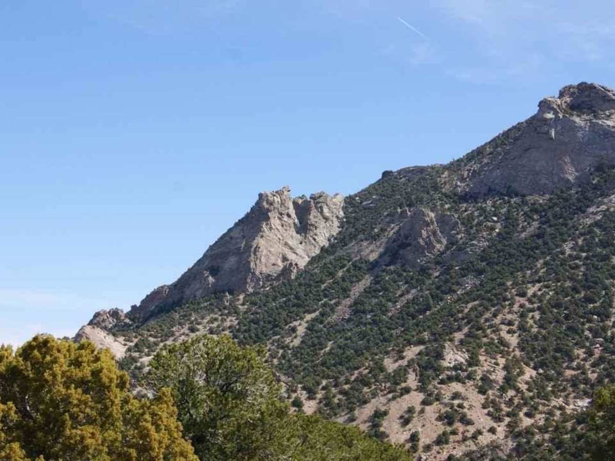
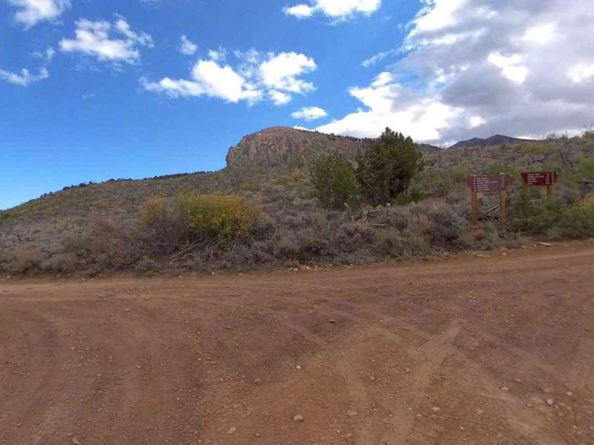
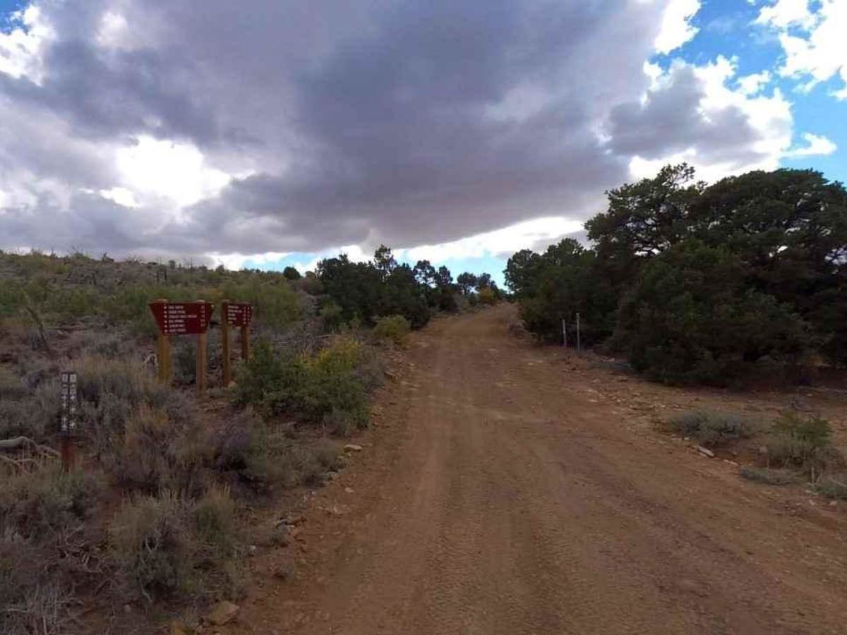
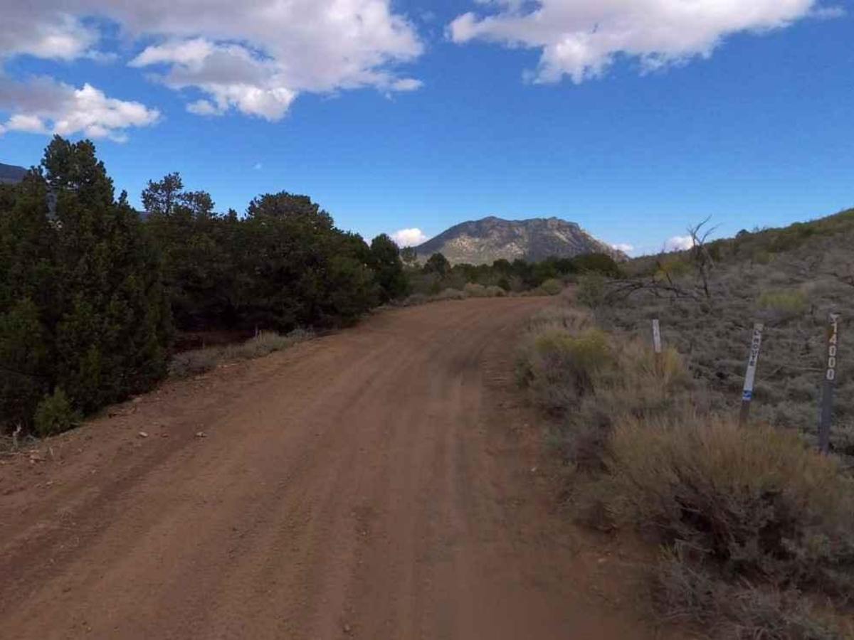
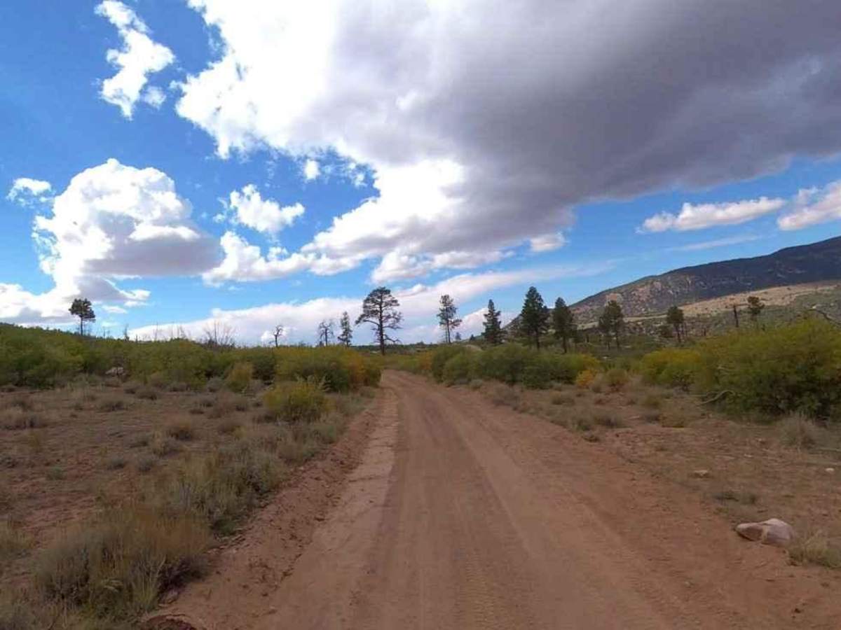
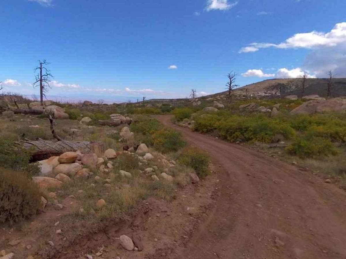
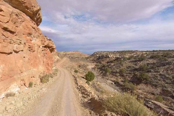
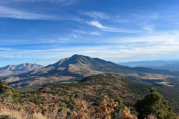
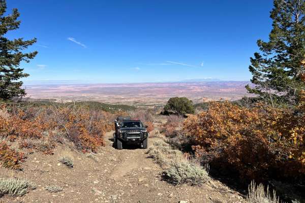
The Horn Road-BLM14000 is a 13.2-mile trail rated 3 out of 10 located in Garfield County, Utah on the western side of the Henry Mountains. On the eastern side of The Horn the trail is considered an improved dirt road as it is maintained periodically by the BLM and offers connections to several other trails (rated 2). The road is generally two vehicles wide and runs through scrub brush and Pinyon Pine. The western side is not maintained on a regular basis and would be considered an unimproved out-and-back track rated 3. The Horn Road is part of the Bull Creek Pass Back Country Byway. The southern end of the road intersects with Trachyte Ranch Road and leads to the trailhead for Mount Pennell. The Horn Road loops around the north side of The Horn and travels down the west side along a narrow and steep track which will end at the Mt. Pennell Wilderness Study Area. The Horn is an outstanding formation in a collection of domes, giant talus boulders, and mature Ponderosa pine and is well-known to the climbing community. There are more than 40 different climbing routes on the rock. The Henry Mountains stand majestically in south-central Utah and encompass nearly 2 million acres of remote, public land. The Horn rises to over 9,000 feet with some of the other peaks rising to more than 11,600 feet. If you plan to traverse the Henry Mountains, come prepared with supplies, water, food, and a reliable vehicle. With the exception of certain areas traveled by miners and a few ranchers, the Henry Mountains are largely unexplored. The terrain is managed by the Bureau of Land Management (BLM), but you will rarely see patrolling officials or other explorers in the area. The most common forms of life found in the Henry Mountains are various types of wildlife including Mule Deer, Bison and Mountain Lions. The best time to visit the Henry Mountains is in the summer or fall. The weather is generally mild during these seasons, and there are plenty of activities to keep you busy. Cell phone service is intermittent to non-existent and the nearest services are in Hanksville to the north. There are several gas stations along Highway 276 between the Bullfrog Marina and Hanksville.
Difficulty
Trail consisting of loose rocks, dirt, and sand with some slickrock surfaces, mud holes possible, no steps higher than 12". 4WD may be required, aggressive tires a plus.