Trail Overview
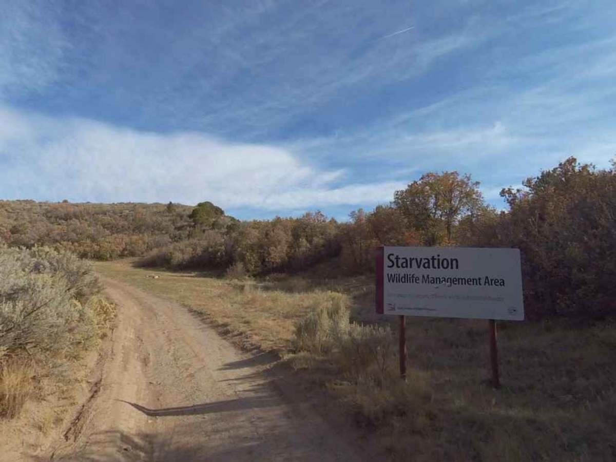
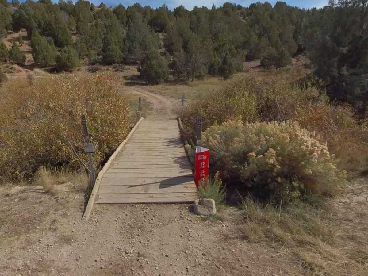
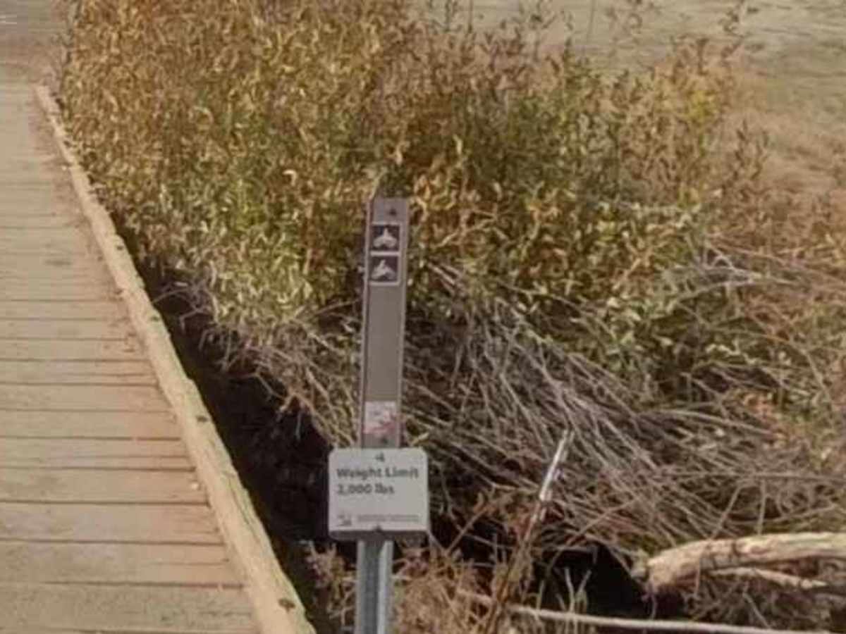
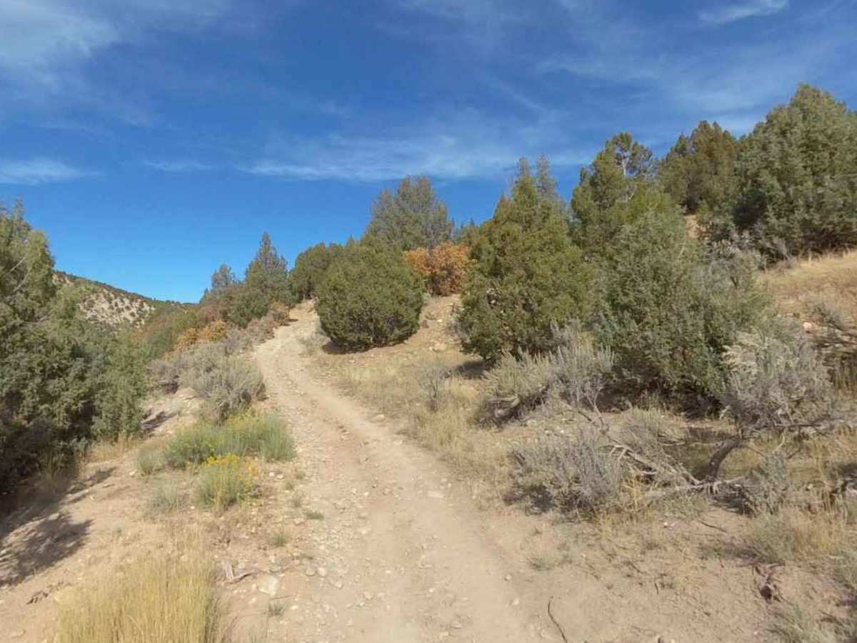
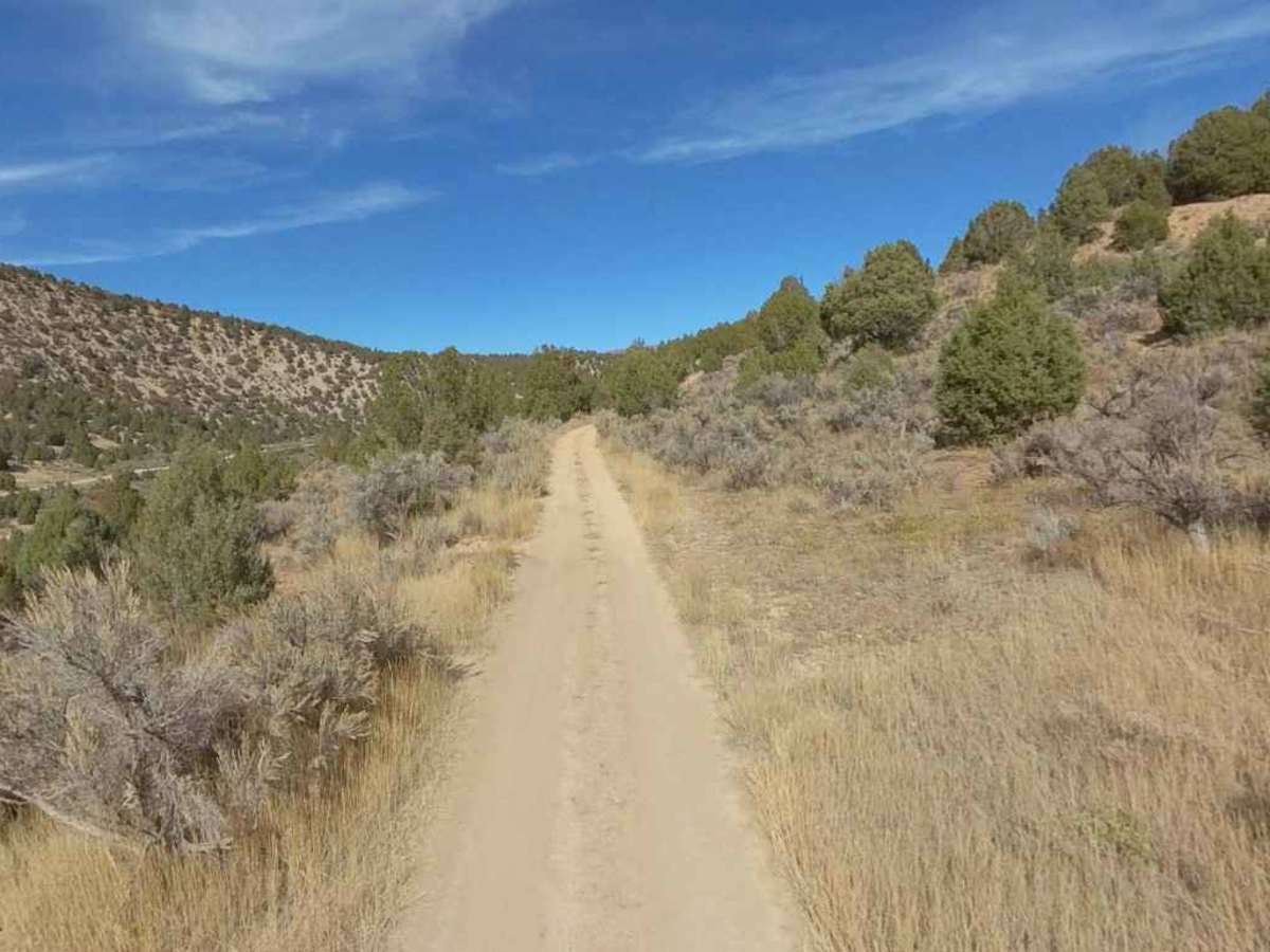
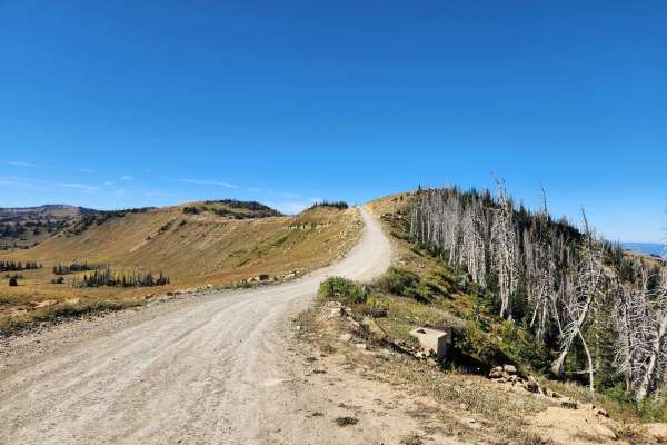
Starvation WMA Poleline is the longest continuous trail at 6.4 miles point-to-point within the Wilderness Management Area. This mostly hard-packed dirt track runs north/south, with both ends connecting back to the Starvation Creek Road. This trail is a seasonal trail open from May 1st to November 30th. There are several other side trails within the WMA that can be explored; however, the Utah DNR restricts motorized travel to existing roads. In general, the trail is considered easy, but low-lying spots can be wet and muddy after inclement weather. The trail is width restricted is several spots, making it difficult for full-size vehicles to remain on the road. The northern trailhead is located at (39.91892, -111.20743) and has adequate parking for 6-8 vehicles with toy haulers or trailers. There is a restrictive bridge at the northern trailhead that limits vehicles to motorcycles and ATVs with a weight limit of 2000 pounds or less. The southern trailhead is marked with a Starvation WMA sign (39.86941, -111.19191). There is a dirt pad just east of the sign, but since it is located within the WMA, it may not be legal to park off the trail. The trail generally follows the powerline easement through the WMA. Full-size vehicles may enter the WMA through the southern trailhead as an out-and-back trail due to the size/weight restriction of the bridge at the northern trailhead. It is important to note that squeezing through vegetation or going off-track would violate DNR’s “stay the trail” guidelines. The nearest fuel is 7 miles east of the intersection of Starvation Creek Road and Highway 6. The nearest services are located in Helper to the east on Highway 6 or in Spanish Fork to the west.
Difficulty
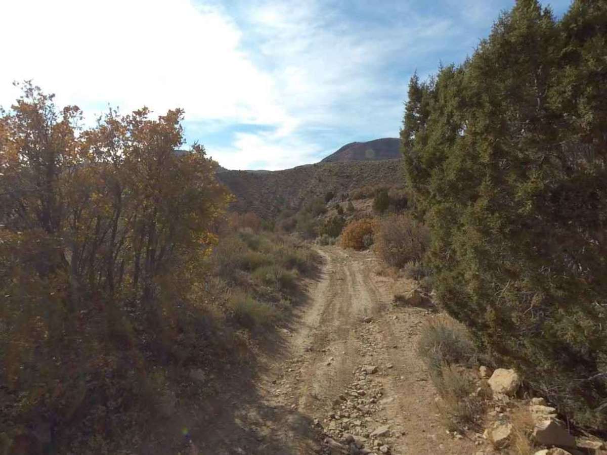
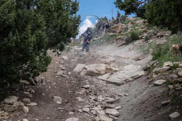
This is an unmaintained field trail that can support utility trucks. Obstacles consist mostly of loose rock, mud, and shallow creek crossings.
History
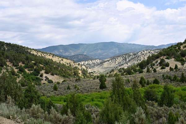
Starvation WMA is within Utah County, Utah, and covers 13,767.51 acres. This property was established on February 25, 1975, with the primary purpose of benefiting big game winter range. Species found on this property may include: Mule deer, elk, chukar partridge, dusky grouse, mourning dove, turkey, cottontail rabbit, white-tailed and black-tailed jackrabbit, golden eagle, bear, cougar, coyote, and neotropical birds.