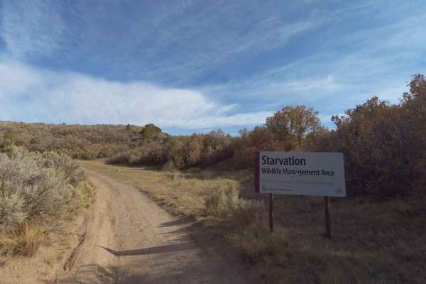
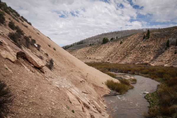
Trail Overview
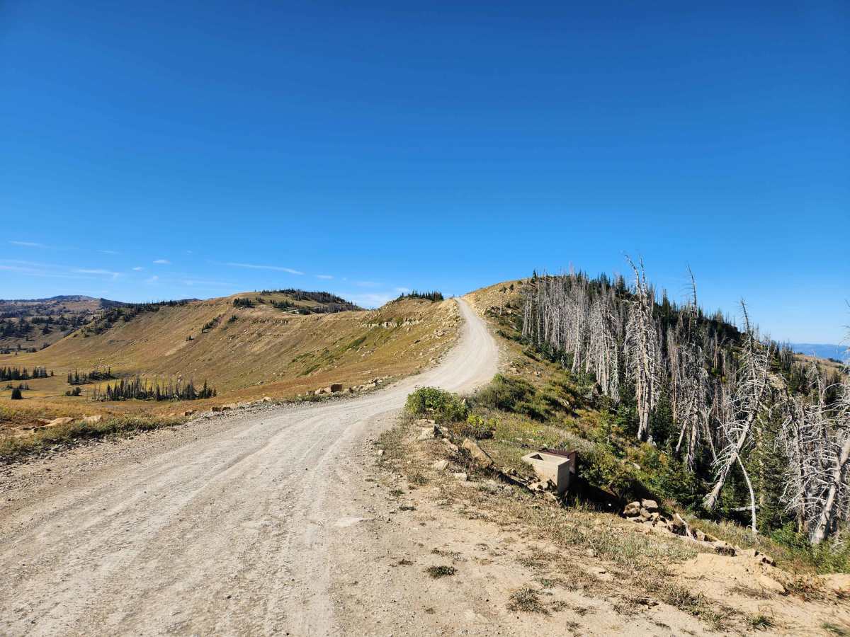
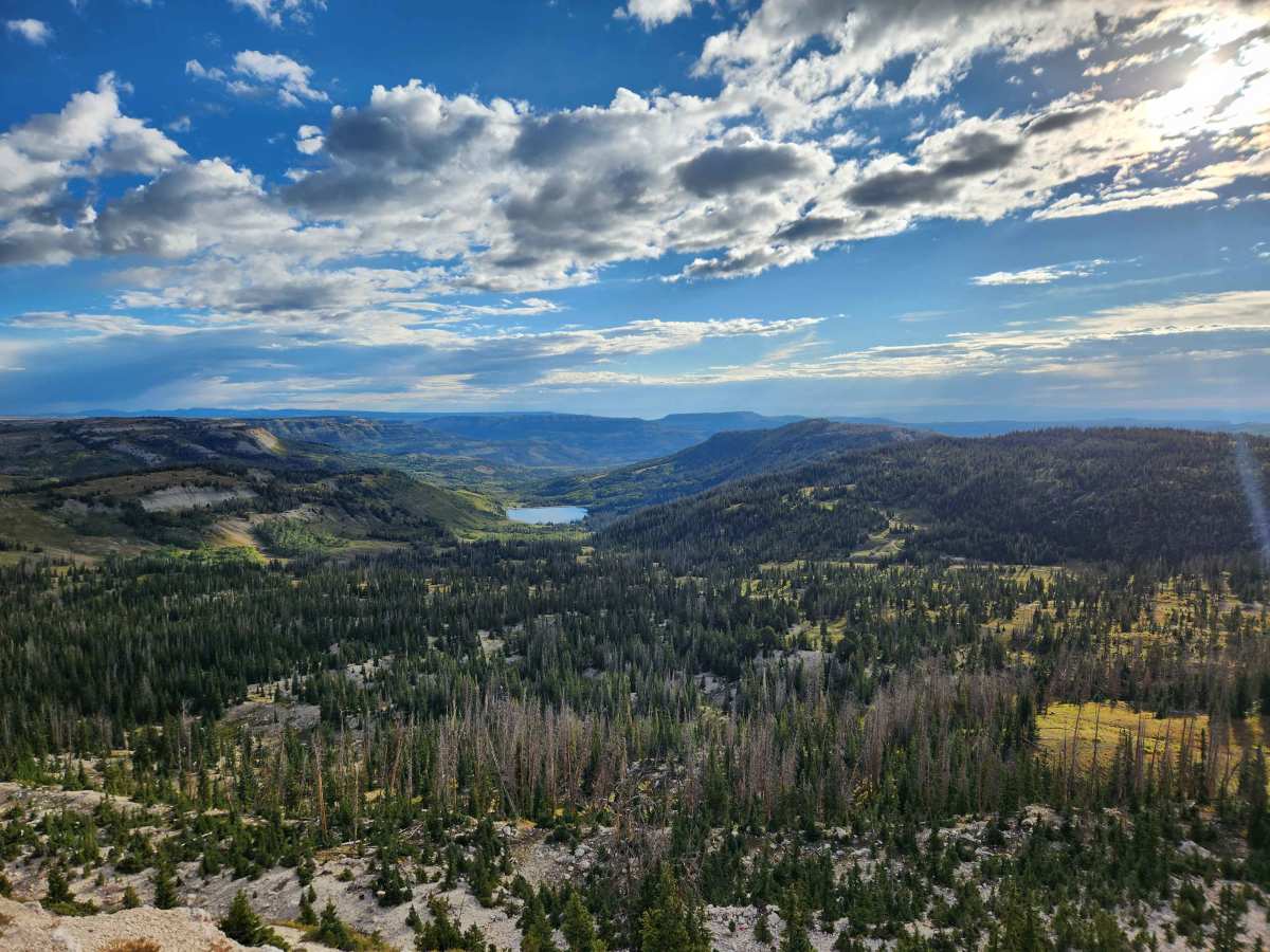
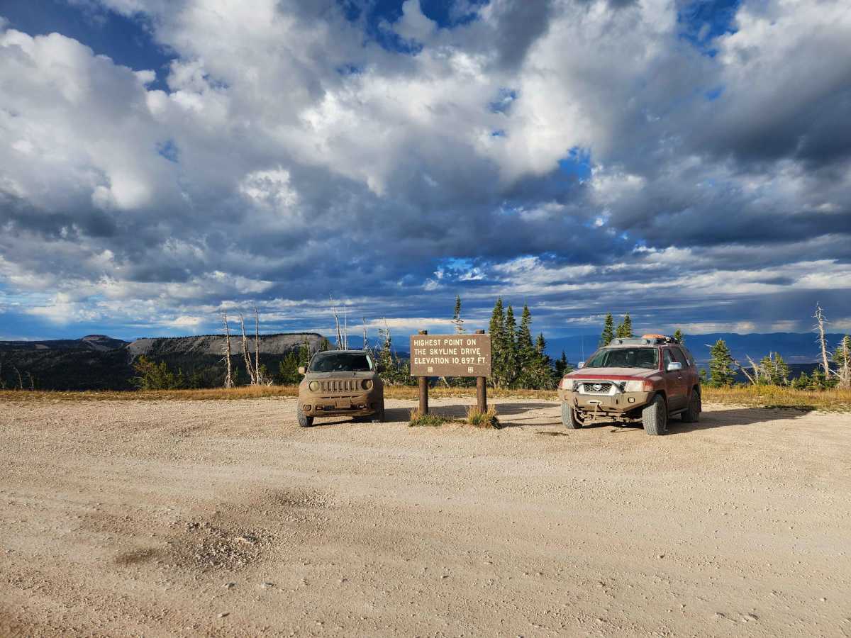
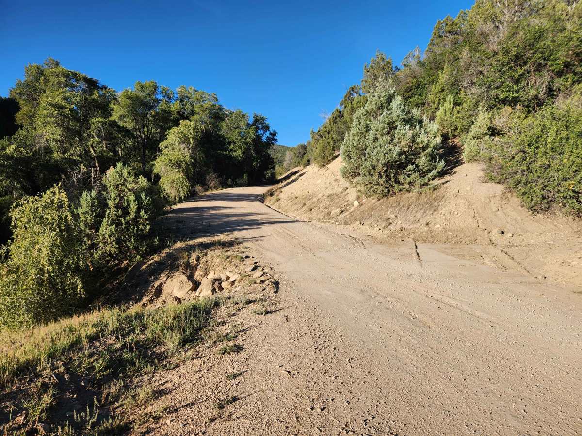
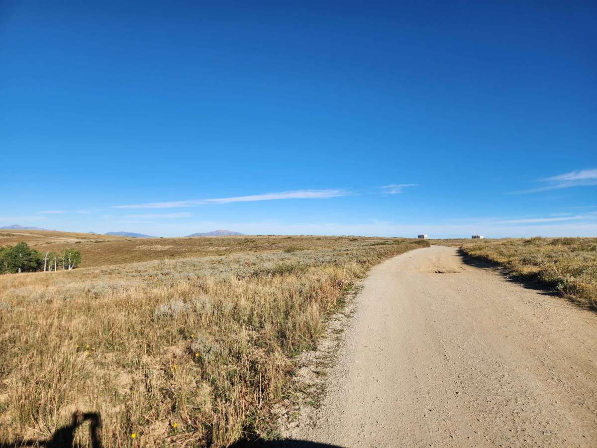
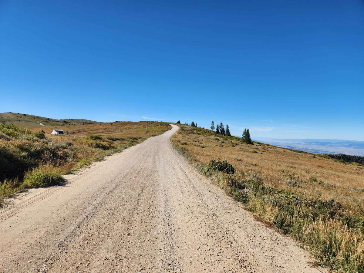
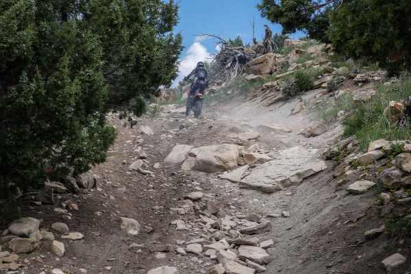
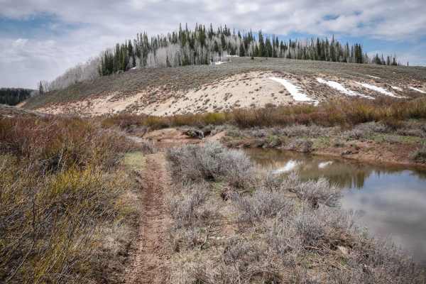
Skyline Drive is a high alpine road in central Utah that runs almost 100 miles from where it starts at U.S. Highway 6 in Tucker all the way south to where it ends at the intersection of Salina Creek and Willow Creek Roads, with a short section of pavement in the middle where State Route 31 is used to bridge between the 2 sections of dirt. This route has sections of well-maintained gravel road, but the majority of the trail is natural base that is only periodically graded and has sections that can have deep ruts and potholes depending on how recently the road was graded. This trail has stunning views, as most of the trail sits right around 10,000 feet as it follows the ridges at the top of the mountains, providing sweeping views in all directions throughout most of the trail. Due to this trail's high elevation, it usually is not clear of snow until early to mid July most years, becomes impassable once again towards the end of October every year, and could be rendered impassable in some spots during inclement weather.
History
Starting in the late 1800s, the area had settlers traveling through these mountains, as well as logging operations, with sections of Skyline Drive in place being used, but it wasn't until the 1930s that the Civilian Conservation Corps completed the full route of Skyline Drive. There are many unique things that you can see along this trail that show some of the history, including some of the ditches and tunnels that were dug to direct water down to different towns, the terracing that was done in the early 1900s to mitigate flooding, the Fish Creek Warming Hut, and the Seeley Creek Guard Station.