Skyline Drive North

Total Miles17.2
Technical Rating
2Easy
Best TimeSummer, Fall
Trail TypeFull-Width Road
Accessible By
Open Trail Map

Trail Overview

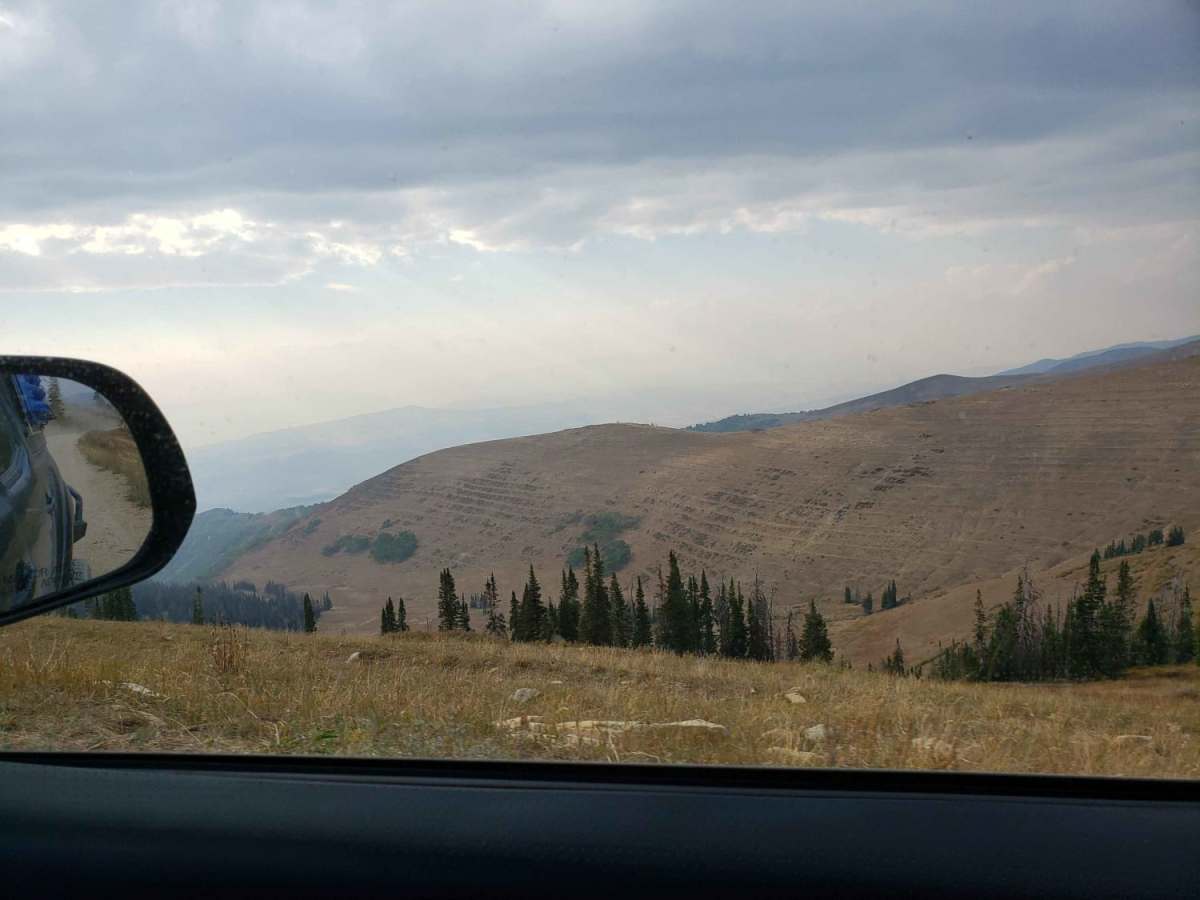
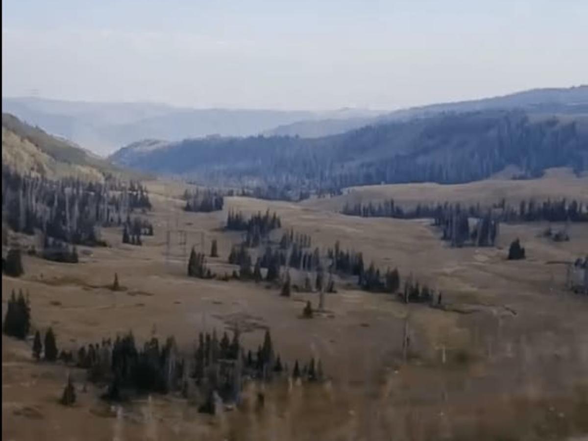
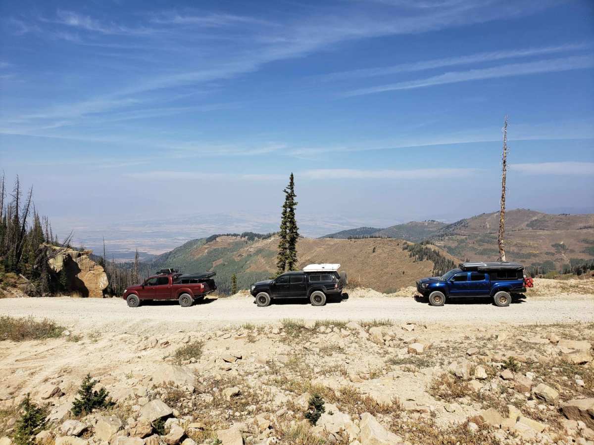
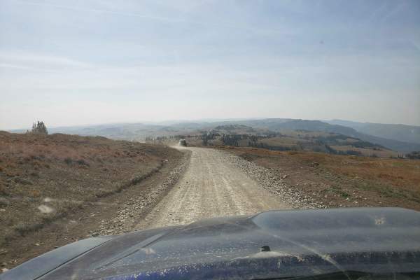
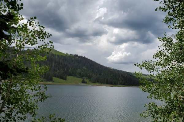
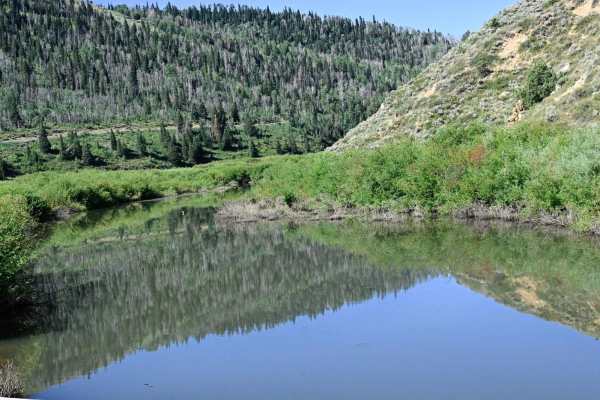
Skyline Drive North is a breathtaking, high-altitude ridge route on Utah's spectacular Wasatch Plateau, perfect for offroaders of all skill levels seeking panoramic mountain vistas and easy, fast-moving dirt tracks. Stretching roughly 17.2 miles along the spine of the plateau, this scenic drive reaches elevations exceeding 10,700 feet, offering stunning views of the surrounding valleys and peaks like Towhead and Monument Peak. High-clearance four-wheel-drive vehicles, side-by-sides (SxSs), and adventure motorcycles can easily navigate the trail under dry conditions, as it maintains a mild technical rating of 2 with mostly dirt and gravel surfaces. Drivers should remain alert for steep drop-offs along the ridgeline and potential muddy spots or lingering snowdrifts that can persist well into the summer. Because of its extreme elevation, this route is seasonally managed, with gates typically closed throughout the winter and early spring months to protect the road and ensure safety. When open, the area is rich with wildlife, and visitors frequently spot deer, elk, and grazing livestock along the grassy alpine meadows. The trail provides excellent access to nearby dispersed camping sites, fishing at mountain reservoirs, and intersecting trails for those looking to extend their backcountry exploration. Travel prepared with plenty of water and layers, as high-alpine weather can shift rapidly, bringing sudden storms or drastic temperature drops even during peak riding season.

Photos of Skyline Drive North

Difficulty

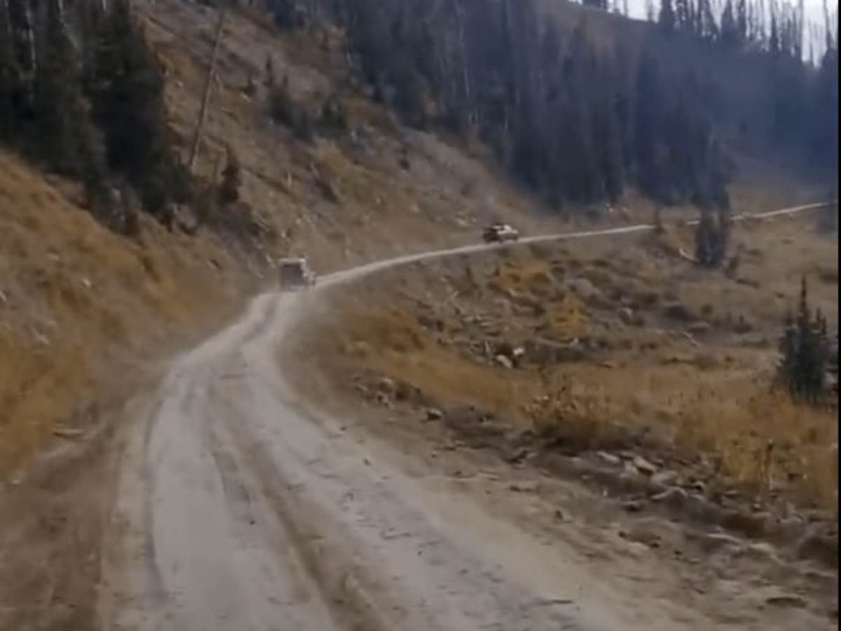
When dry it's a very easy trail.

Technical Rating

2

Status Reports

Add Status Report
Becky Curtis
Aug 02, 2026
Temporarily Closed
Fire Danger
Trail closed at the turn off (road 50271, I believe) to Potters Pond. Air was hazey. Otherwise, weather was great and the ride was fun
Lincoln Johnson
Jun 21, 2026
Open
NormalDusty
TJ Benson
May 02, 2026
Obstructed
Deep Snow
Ty H
Jul 13, 2024
2015 Jeep Wrangler
Open
DustyMuddy/WetRough/Deteriorated
The section closest to highway 31 AFTER the unimproved area was heavily rutted from runoff. Lots of mud holes, deep ruts, a ledge or two, and a couple of washed out sections where part of the road disappeared. But, that said, crews are restoring the road and have made significant progress, working from the south to the north. Fallen trees have been cut back to clear the road. The deteriorated section was only a couple of miles long, and then the rest of the trail was easy. We never put our Wrangler Rubicon in 4WD, but our 35" tires and suspension lift helped with the deteriorated area. All the vegetation is green, the wild flowers are in bloom, and the temps were mild. Snow drifts are still present but the crews removed them from the road.
Jake W
Jun 21, 2024
2006 Nissan Armada
Temporarily Closed
Seasonal Closure
Nathan Ballamis
Sep 05, 2023
Open
Muddy/Wet
Kenzie Chaudoin
Aug 06, 2023
Open
NormalDusty
Jordan Jeppsen
Jul 24, 2023
Obstructed
Deep Snow
Sean Southard
Jul 08, 2023
Obstructed
Deep Snow
Tanner Vincent
Jun 10, 2023
Obstructed
Deep Snow

Skyline Drive North Trail can be accessed by the following ride types:

  • Single Track
  • 50 Inch
  • 60 Inch
  • High Clearance
  • Full Width

Access Description

Located within the Manti-La Sal National Forest, Skyline Drive North is seasonally closed during winter and early spring, with gates typically opening in late June or early July depending on snowpack. A valid Utah OHV permit or registered license plate is required for off-road vehicles. Check with the U.S. Forest Service for current gate status and road conditions.

Skyline Drive North Map

The onX Offroad Difference

onX Offroad combines trail photos, descriptions, difficulty ratings, width restrictions, seasonality, and more in a user-friendly interface. Available on all devices, with offline access and full compatibility with CarPlay and Android Auto. Discover what you're missing today!

Open Trail Map