Trail Overview
Shotgun Alley is a short, flat off-road trail on Stansbury Island running parallel to Stansbury Island Road. Measuring 0.36 miles with negligible elevation change, this route provides direct access to several hillside target shooting areas.
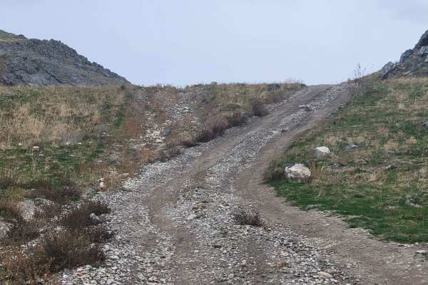
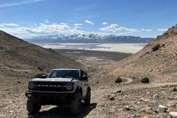
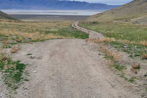
The trail consists of an easy dirt track suitable for most high-clearance, four-wheel-drive vehicles, and side-by-sides. While generally straightforward, drivers may encounter a few small rocky sections and potential water or mud holes after rain or snowmelt. Visitors should exercise caution due to active target shooting in the area and are encouraged to pack out all trash and shell casings.
Difficulty
A short route that leads past several shooting areas along the hillside. Lots of trash / shells were noted along the route, so if you decide to shoot here, please be sure to pack out any garbage that you bring. Predominantly easy dirt trail with some water pockets or mud holes possible. One or two small rocky sections to note.
Access Description
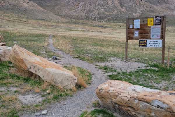
The route is located on public land managed by the Bureau of Land Management (BLM). There are no fees or permits required to access the trail, but visitors must respect private property boundaries on the island and adhere to BLM target shooting regulations, including using safe backstops and packing out all targets, shells, and trash.



 Offroad