Trail Overview
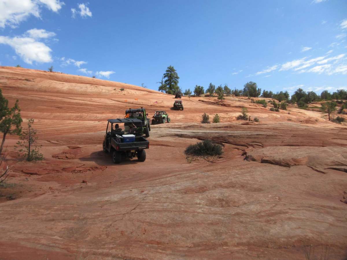
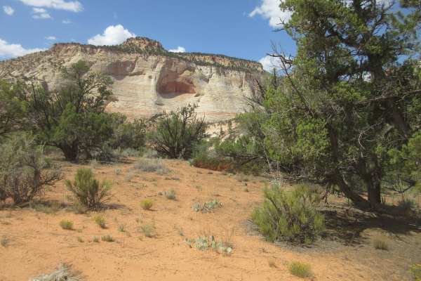
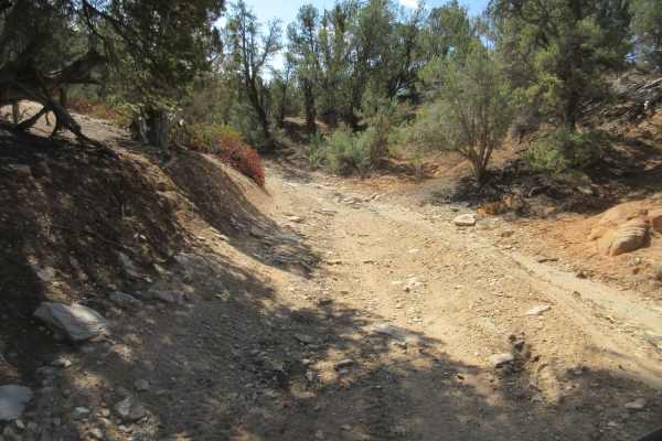
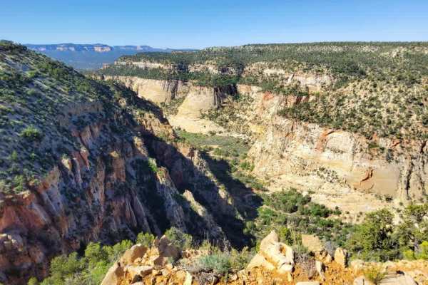
Poverty Gulch Slick Rock/Petroglyphs is an exceptional off-road route designed for four-wheel-drive vehicles and SxSs seeking a combination of scenic canyon descents and historic petroglyph exploration near the East Fork of the Virgin River. Spanning approximately 1.75 miles, this trail drops nearly 590 feet from its high point of 5,467 feet down to the canyon floor. Navigating this trail requires caution, as the route transitions from sandy stretches with overhanging tree branches that can scrape wider vehicles to a challenging, optional slickrock descent rated at a technical difficulty of 3. Those who opt out of the steep slickrock face can continue on a calmer dirt path leading to an alternative parking area overlooking the river, keeping the journey accessible to a wider variety of high-clearance four-wheel-drive rigs.
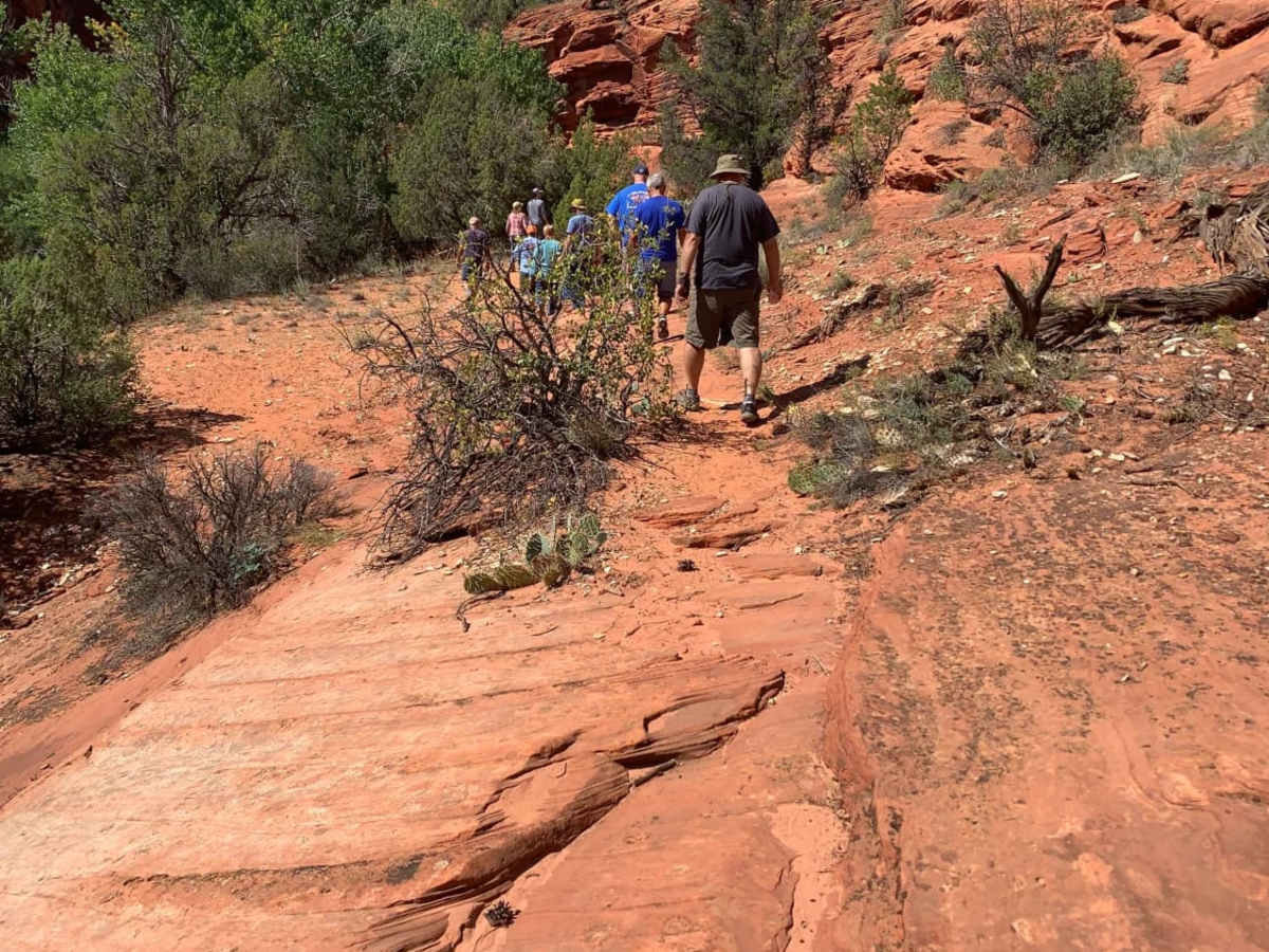
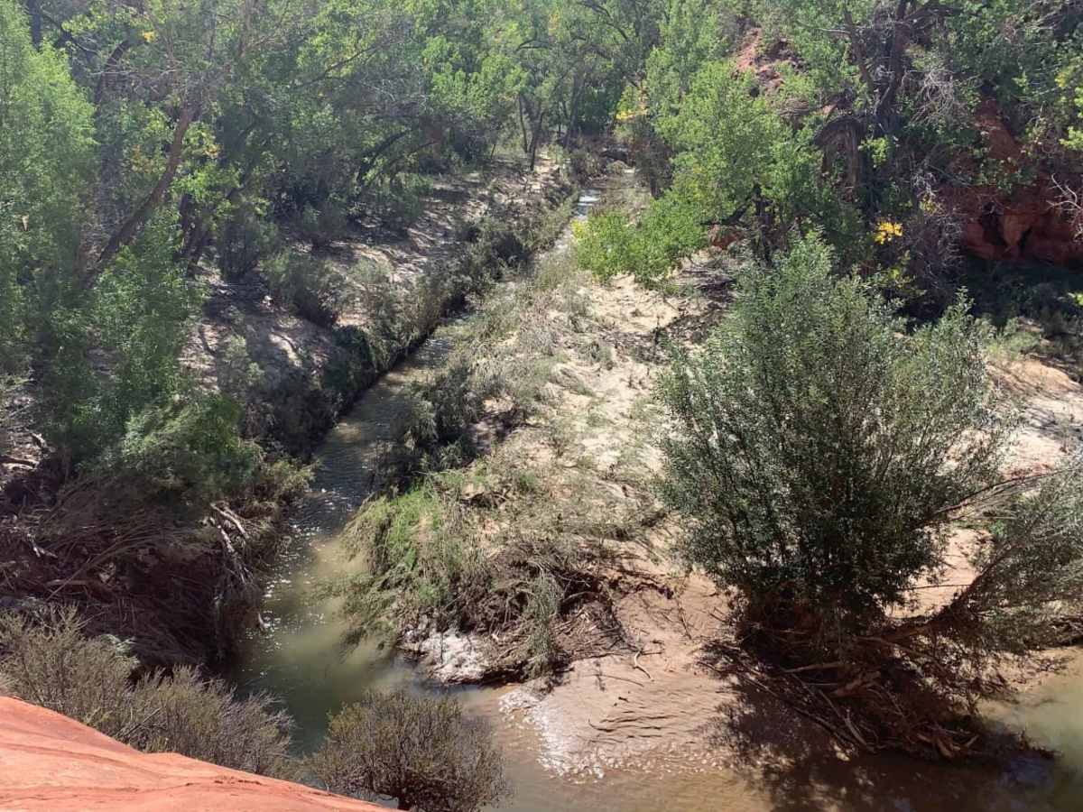
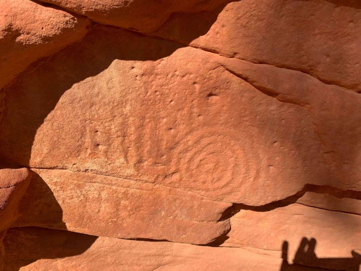
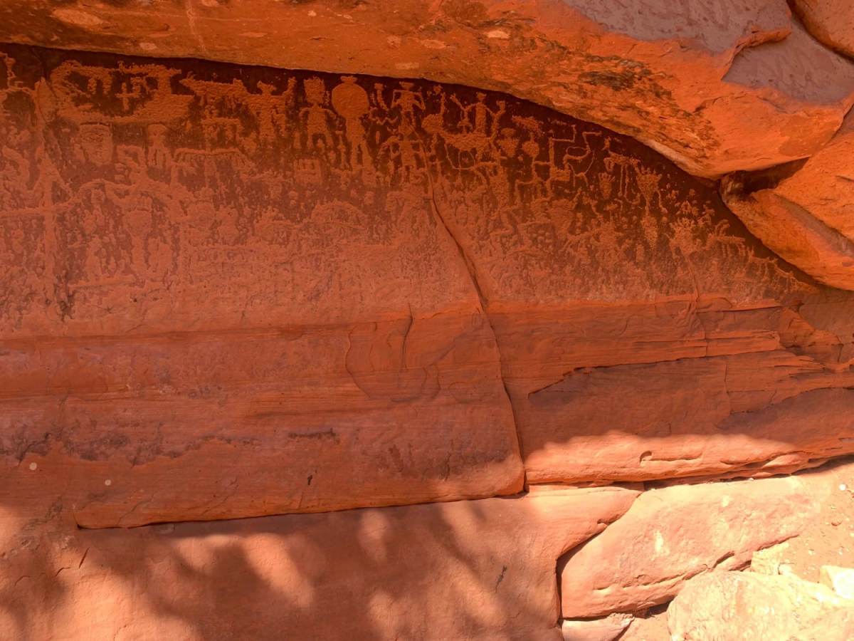
The culmination of the route brings travelers deep into the canyon, where a short walk leads to ancient rock art and unique historical carvings. Hikers can search the sandstone shelves to locate a historic Spanish Conquistador sword carving, followed by a spectacular vertical wall of ancient petroglyphs farther down. The trail ends near the cool waters of the East Fork of the Virgin River, providing a refreshing resting spot with views of the backside of Zion National Park to the north. Drivers must ensure their vehicles have sufficient traction and climbing ability to ascend the slickrock return, as there is no cellular communication available in this remote canyon environment.
Difficulty
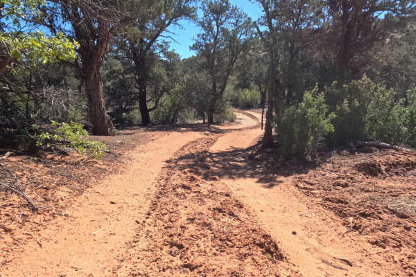
This section of the trail is a little calmer with more sand but there are hazards to be avoided. Rocks and trees overhanging the trail will leave their mark on your vehicle. Make sure your vehicle has the ability to climb the slick rock before descending as there is not communications out of this area. The exciting part of this section, and why it is a 3, is at the end as you descend a slick rock face (optional) to get close to the petroglyphs and river. Rather than turning to the slick rock you can proceed on the trail to another parking area where you are over the river but on the same trail type.