Trail Overview
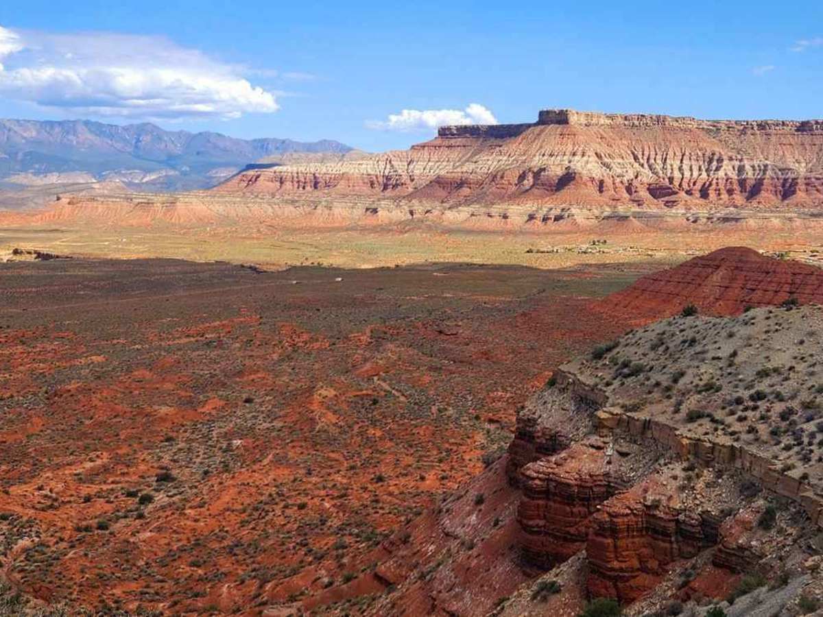
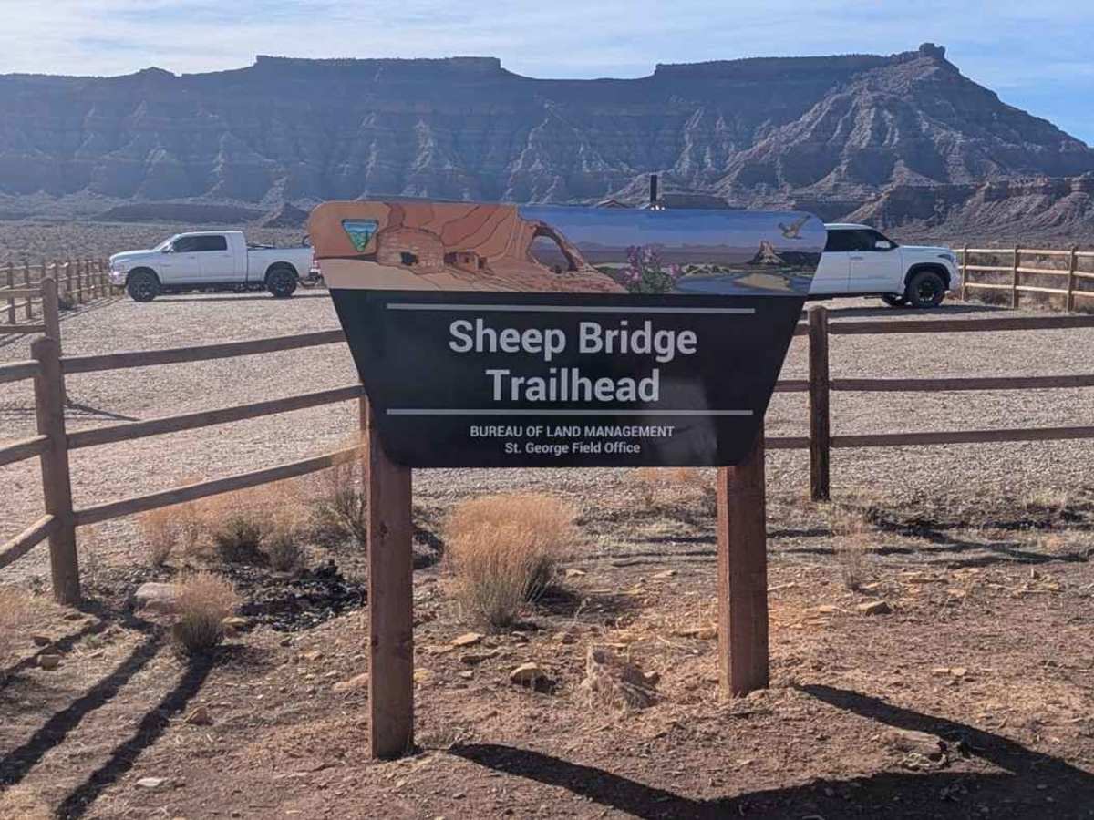
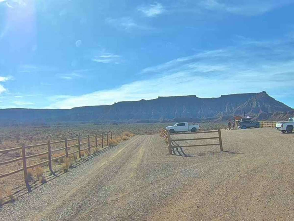
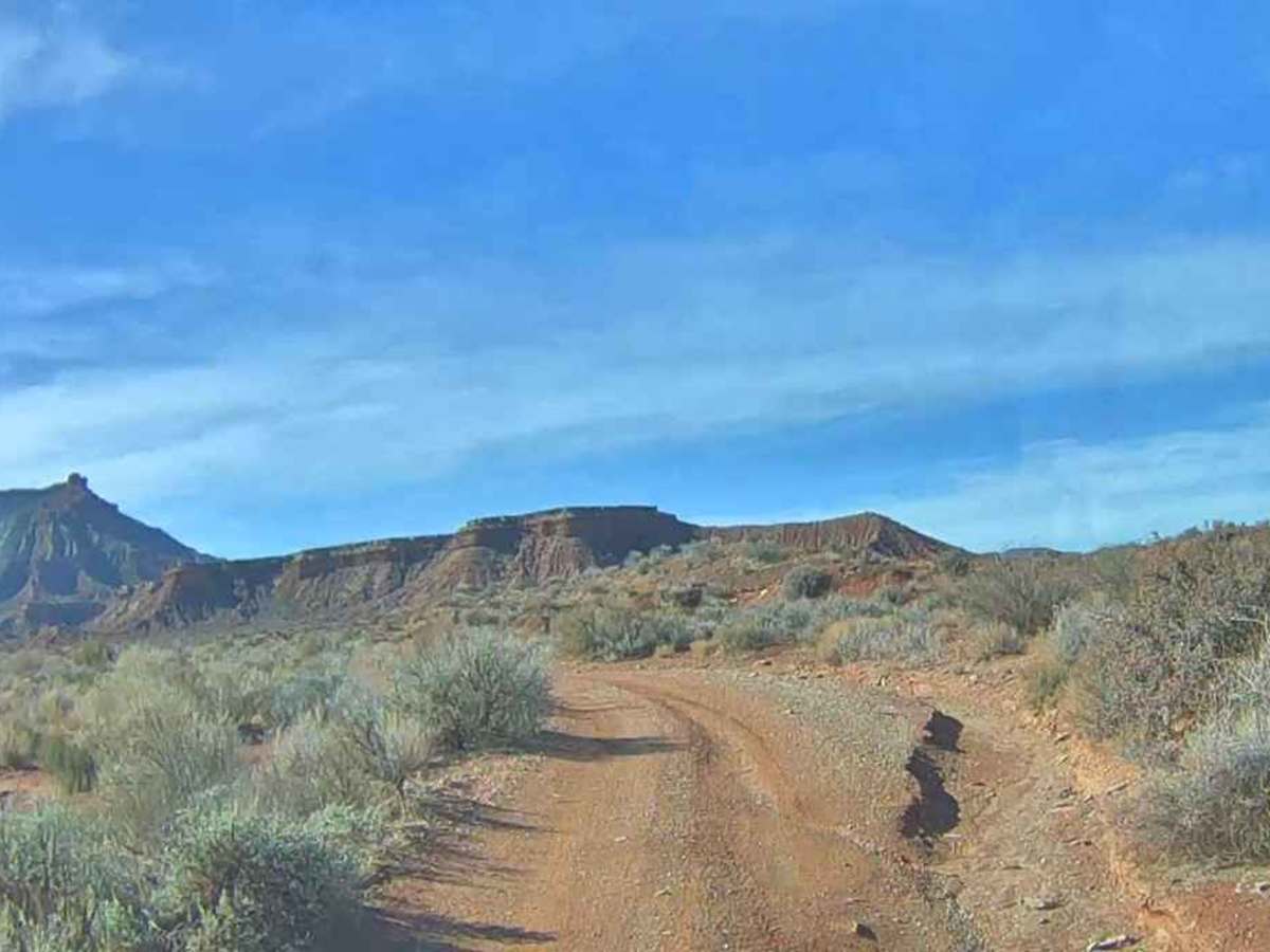
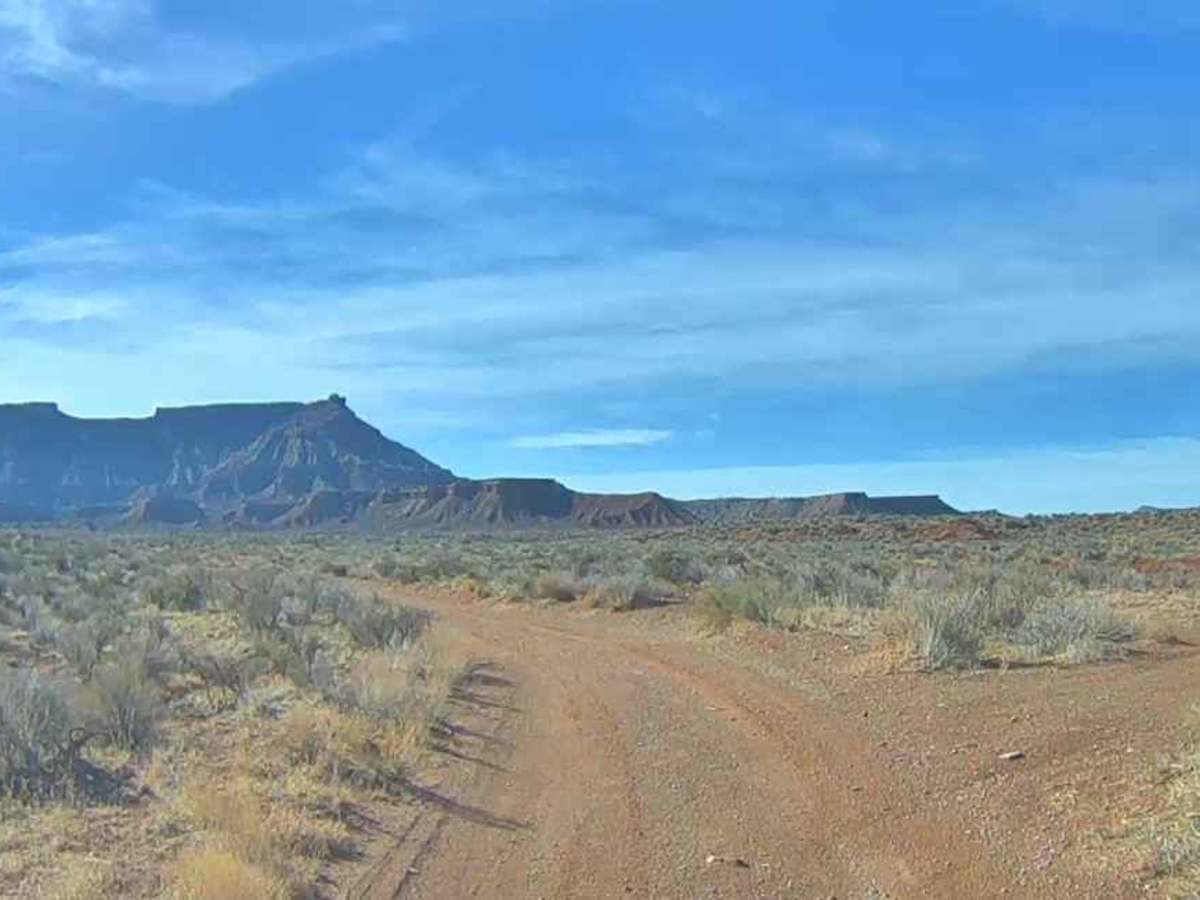
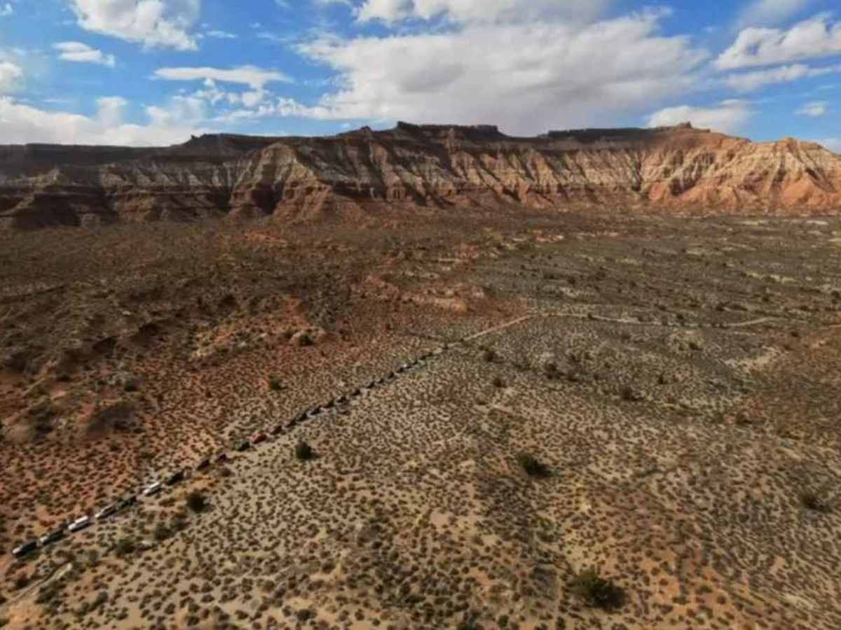
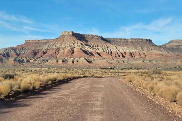
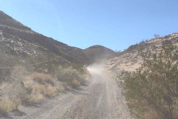
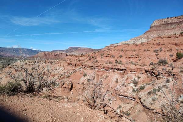
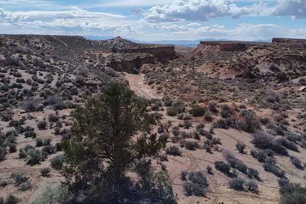
Oh The View is a 6.7-mile point-to-point trail rated 3 of 10 located on the Virgin Mesa within Washington County. The trail is a little-used ranch road consisting of hard-packed dirt, soft dirt washes, and a few rocky sections. The trail can be run in either direction, but is generally run from west to east. The trailhead starts on the road next to the Sheep Bridge Trail parking corral. This area is the northern end of the JEM mountain bike trail network. There is a toilet facility at the parking area. The first section of the trail runs through a section known as Goosebumps Wash. Given its name because of the mountain bike trail that parallels the wash. The trail crosses the wash several times, so drivers should be aware of cross traffic. Although there are no trail markings, the route is well defined. There are several side trails that can be explored, but they generally lead to dead ends. As the trail cuts north and vista views are found, drivers will be surprised that they have climbed several hundred feet up to the first mesa. The trail gets its name from the local jeep club and is based on the various views along the trail. Initially, as the trail runs southeast, the Gooseberry Mesa rises above, but as the trail turns north, the Smith’s Mesa, the Hurricane Valley, and Pine Valley Mountain all come into view. At about the halfway point, a stop is usually called for as the open trail turns into a shelf road with sheer cliffs dropping several hundred feet provide a vista view. Continuing down the trail as it departs the shelf road aspect and turns into a flat mesa with views of the Zion National Park white peaks, West Temple Mountain, and the Towers of the Virgin. The trail ends with a downhill grade that leads into the community of Virgin. Cell phone service is generally good throughout the trail (exception is in the deep wash) and the nearest services are located in La Verkin. This trail should be avoided during or immediately after rainstorms, as there is a potential for flash flooding in the wash. NOTE: Do not travel to the south on any connector trails from the Sheep Bridge trailhead area, as this is all part of the JEM mountain bike area.
Difficulty
This is a Class D County Road, which is unmaintained. Historically, these roads were constructed to support ranching and mining operations. The trail consists of hard-packed dirt and loose rock.