Trail Overview
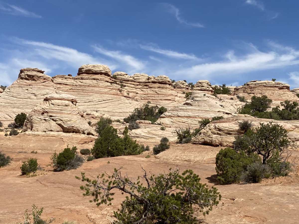
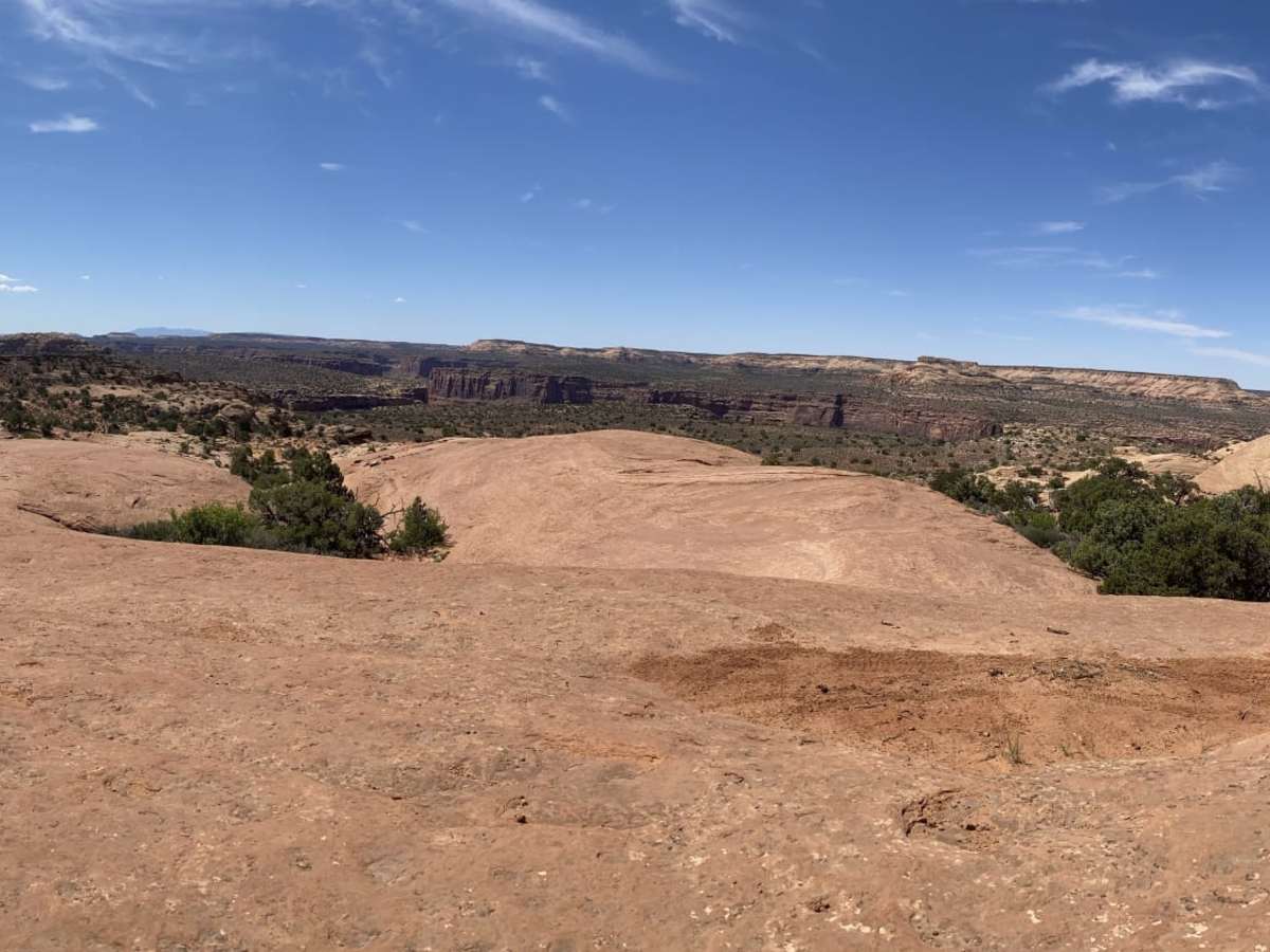
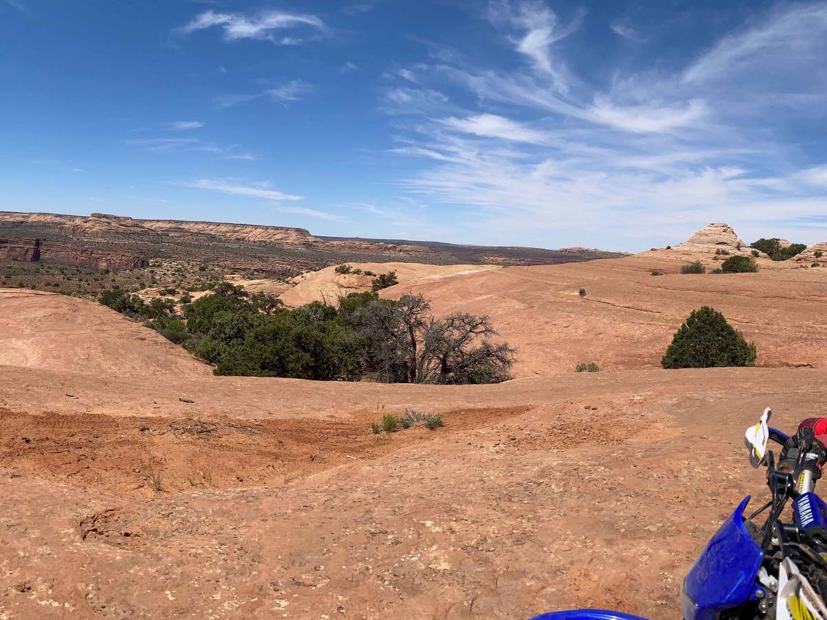
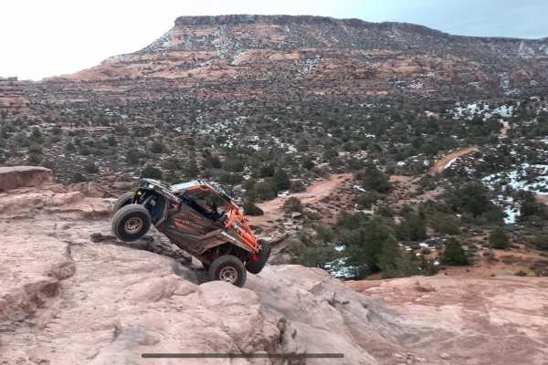
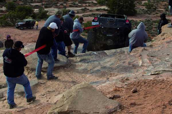
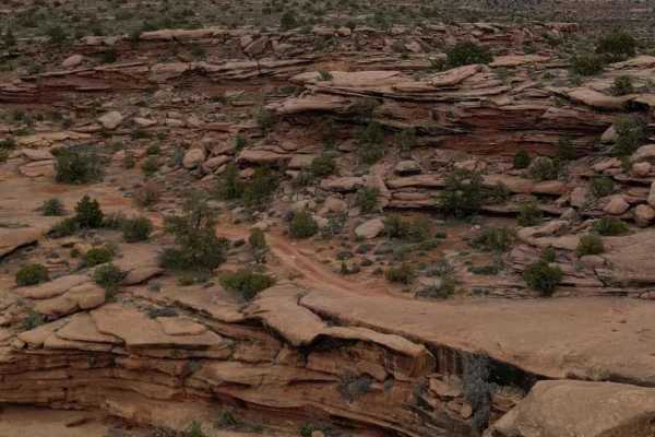
Moon Rock is a 4.1-mile dead-end trail in the Behind the Rocks area southwest of Moab, Utah. Rated 3 out of 10, the route is primarily unpaved, featuring rocky shelves and sections of deep sand. While easy for high-clearance 4WD vehicles and OHVs, the sandy stretches present a handling challenge for dirt bikes.
The trail begins near the Pritchett Canyon intersection and winds through the high desert, ending at a canyon rim overlook. With under 80 feet of elevation change, it serves as an accessible scenic detour or warm-up route within the larger Behind the Rocks trail network. Airing down tires is recommended to maintain traction in the sandy sections.
Access Description
The route is located on public land managed by the Bureau of Land Management (BLM) Moab Field Office. Off-highway vehicles (OHVs) must display a valid Utah registration or non-resident OHV permit. Standard BLM rules apply, including packing out all trash and staying on designated routes to protect the fragile desert environment.