Trail Overview
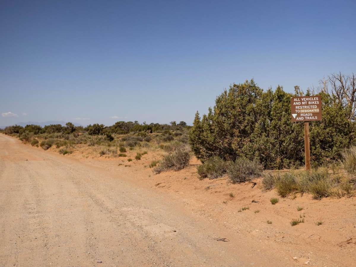
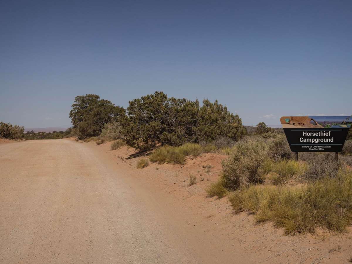
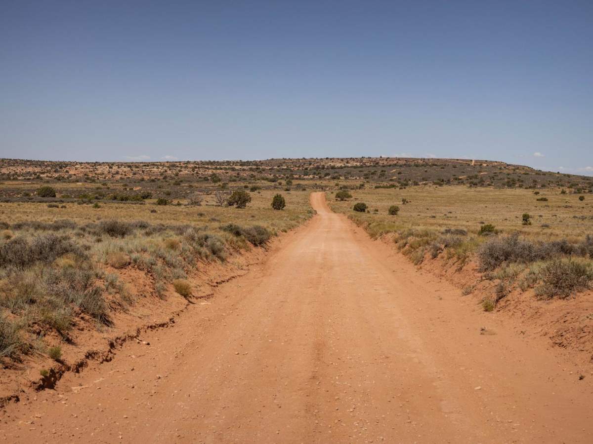
Mineral Point Trail is a scenic 12-mile route starting near Horsethief Campground off State Route 313, ascending from 4,845 to 5,865 feet. The trail begins as a wide, groomed dirt road suitable for high-clearance vehicles, passing through sandy wash crossings that can flood during monsoons. As it nears the canyon rim, the track narrows and turns rocky, featuring moderate obstacles like ledges, loose gravel, and small slickrock sections.
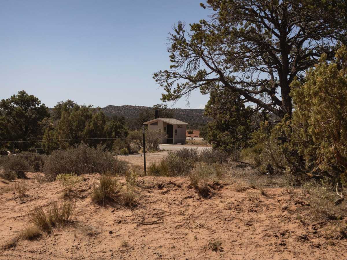
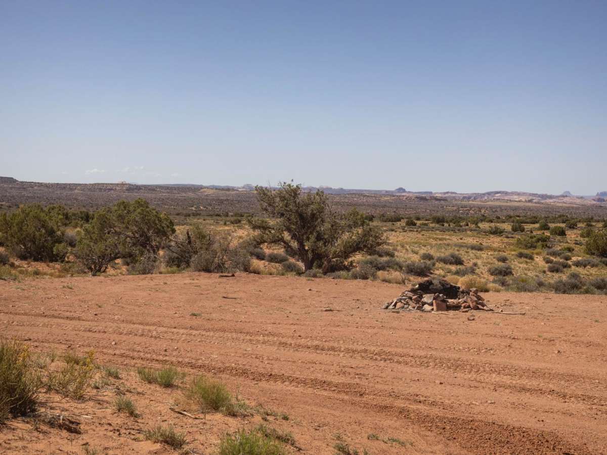
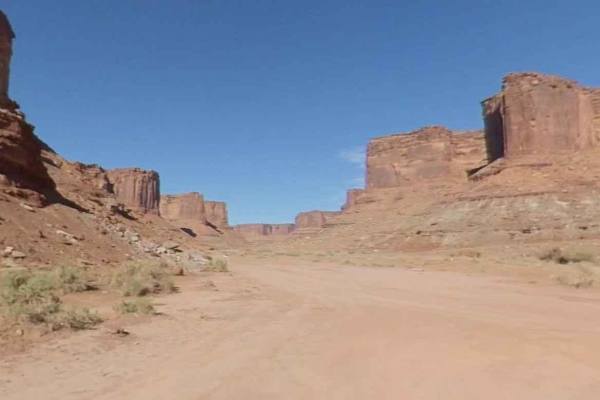
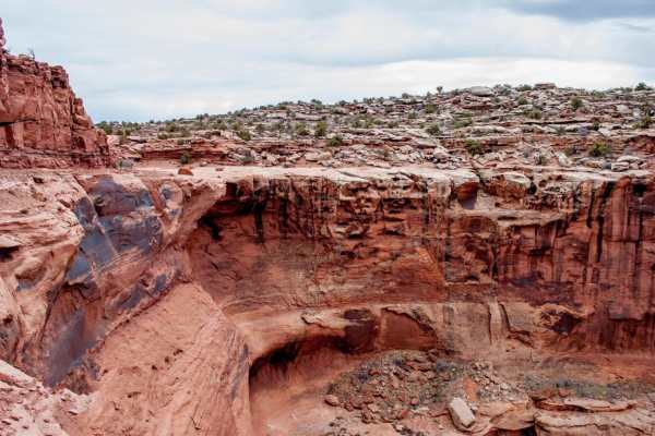
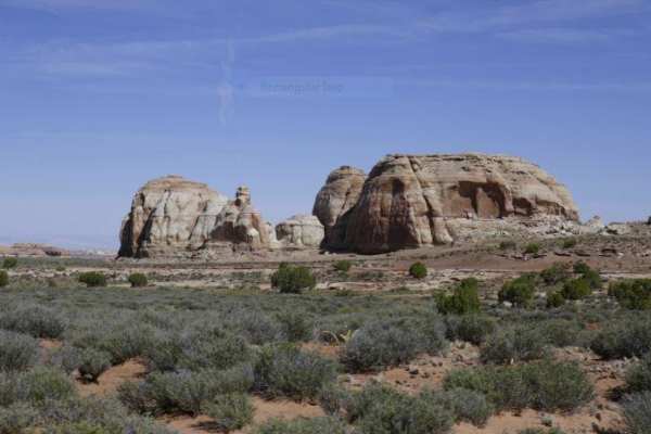
The route offers dramatic desert views, red rock mesas, and canyon drop-offs, with dispersed camping sites located along the rim overlooking the Green River canyon. Near the end, the left fork forms a loop with pull-through camping spaces, while the right fork leads to an unmapped 3-foot waterfall-style ledge.
Difficulty
The trail starts wide and groomed, with numerous wash crossings that could prove challenging during a storm or monsoon season. As you approach the canyon, the trail becomes more narrow and rocky with obstacles such as ledges, shelves, slick rock, loose gravel, hills, and ruts.
History
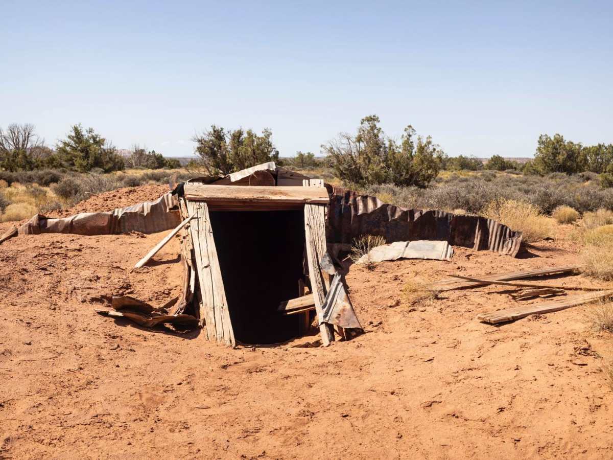
The history of Moab's Mineral Point Trail, particularly the area near the San Juan Chief Mill, is tied to the early mining boom in the region, specifically the uranium rush. The trail itself, along with many others in the area, originated from mining roads constructed to access uranium deposits. These mining roads later became popular with off-road enthusiasts, including Jeep drivers, and were used as part of the Easter Jeep Safari. The trail's history is intertwined with the development of Moab's outdoor recreation scene, evolving from a mining access route to a popular destination for adventure seekers.