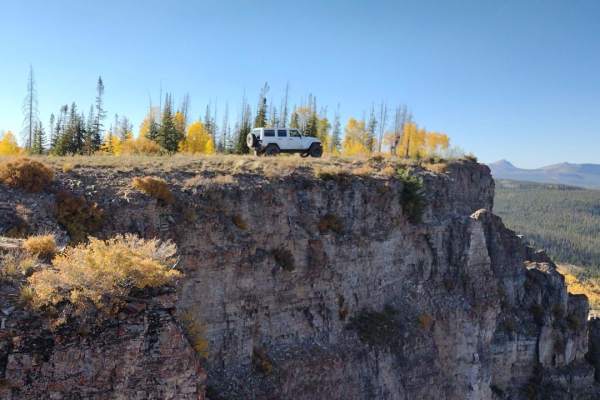
Trail Overview
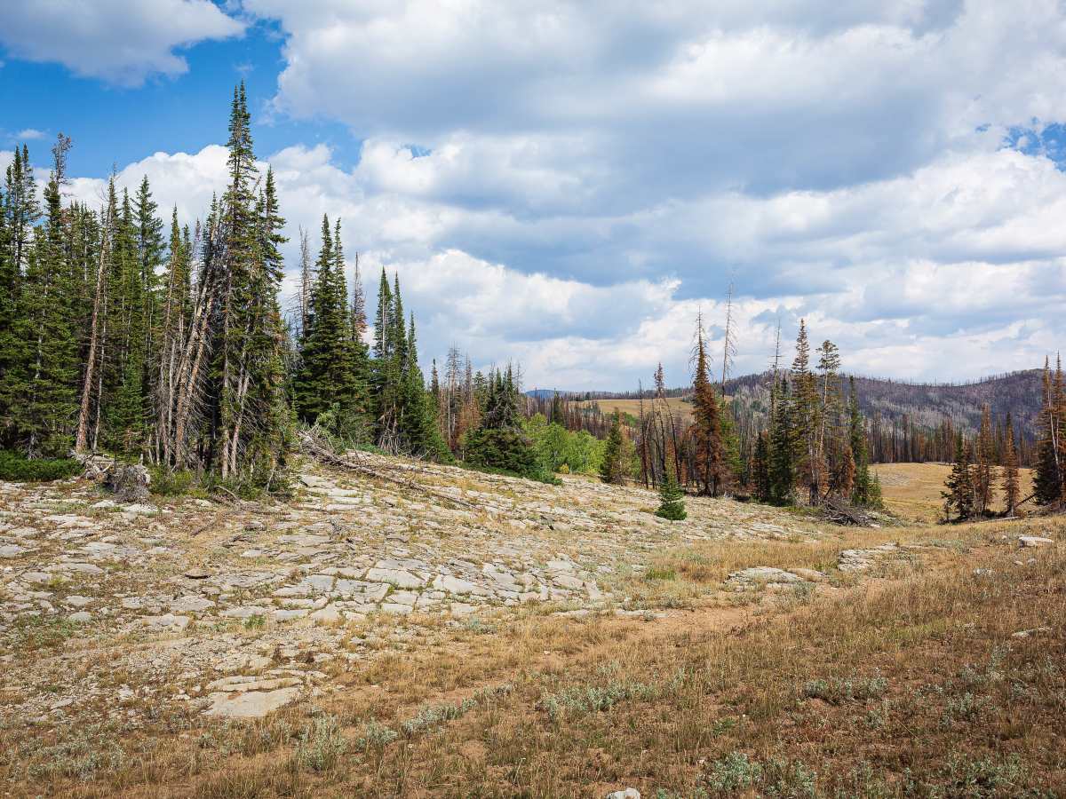
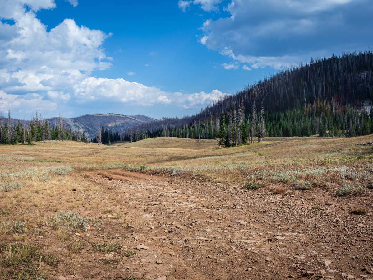
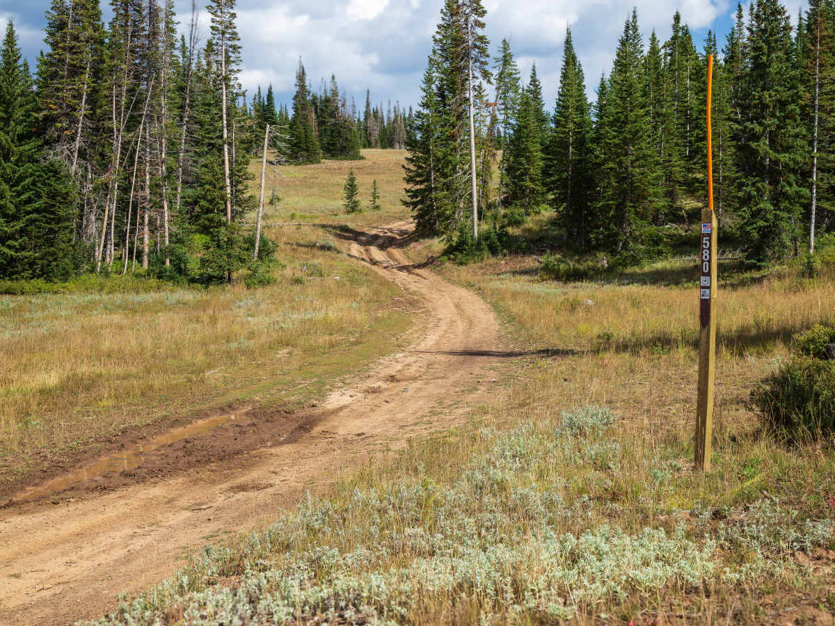
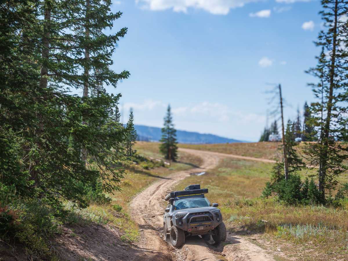
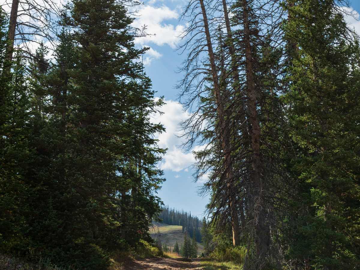
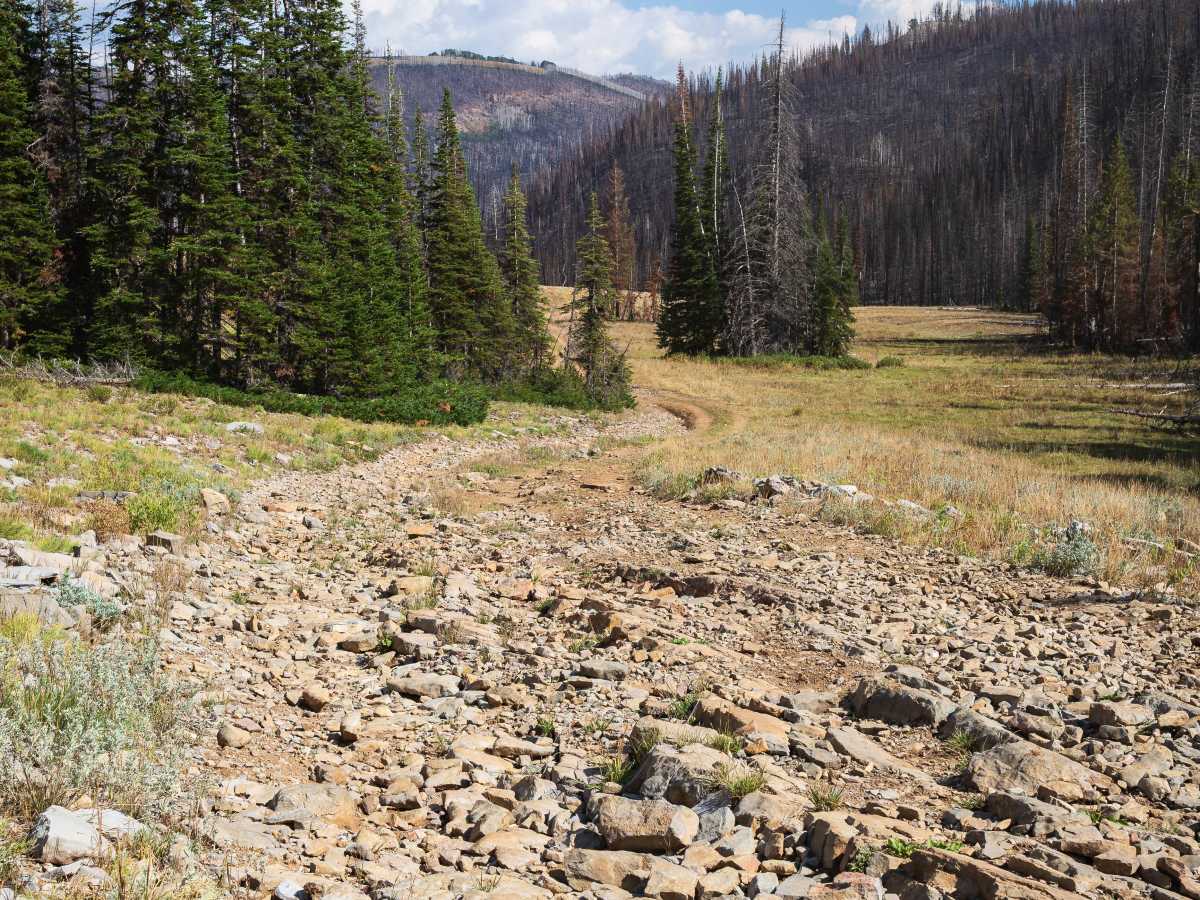
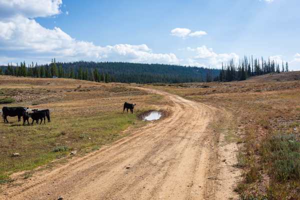
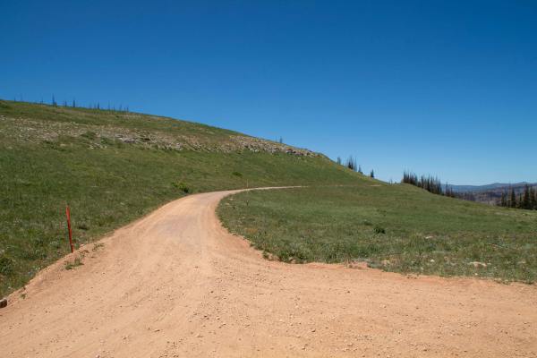
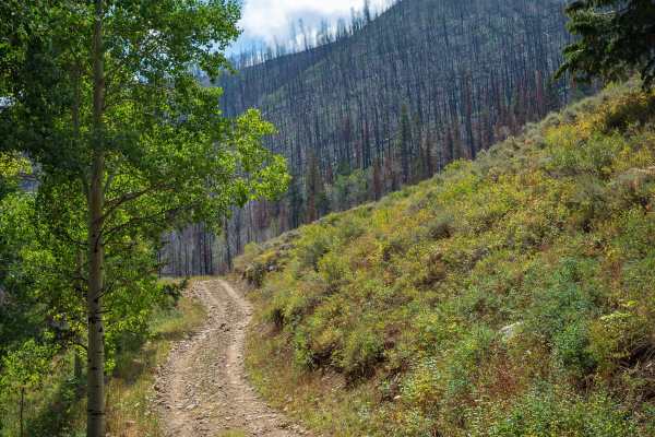
Mill Fork (FS 70580/10318) is a short but scenic high-country road that crosses from the Uinta-Wasatch-Cache National Forest on the west side into the Ashley National Forest on the east side. The trail begins with a steep climb from the west and quickly opens into rolling meadows framed by pine forest and scattered aspen groves. Expansive views stretch across the valleys, while sections of burn scar from the 2024 Yellow Lake Fire leave dramatic stands of blackened timber contrasted by new growth. The road itself is narrow and rocky, with ruts that can exceed 18 inches in depth. Around 1.5 miles from the west end, the trail descends through a rocky section with loose and embedded stones ranging from a few inches to the size of a cantaloupe, requiring steady tire placement. Other stretches are smoother, winding across meadows and pine valleys, but fallen logs or livestock on the road are possible. Mill Fork combines rugged driving challenges with outstanding scenery in a short but rewarding route.
Difficulty
The opening climb from the west includes ruts deeper than 12 inches, and rocky descents feature loose and embedded stones up to cantaloupe size. The road is narrow throughout, with uneven terrain and mild off-camber sections.
History
Mill Fork passes through areas burned in the 2024 Yellow Lake Fire, which left behind blackened pine stands across the ridges. This fire dramatically altered the landscape, and today the contrast of charred timber with regrowing vegetation gives the trail a unique visual character.