Main Canyon - FS 70046

Total Miles 11.2
Technical Rating
5 Moderate
Best Time Summer, Fall
Trail Type Full-Width Road
Accessible By
Open Trail Map

Trail Overview

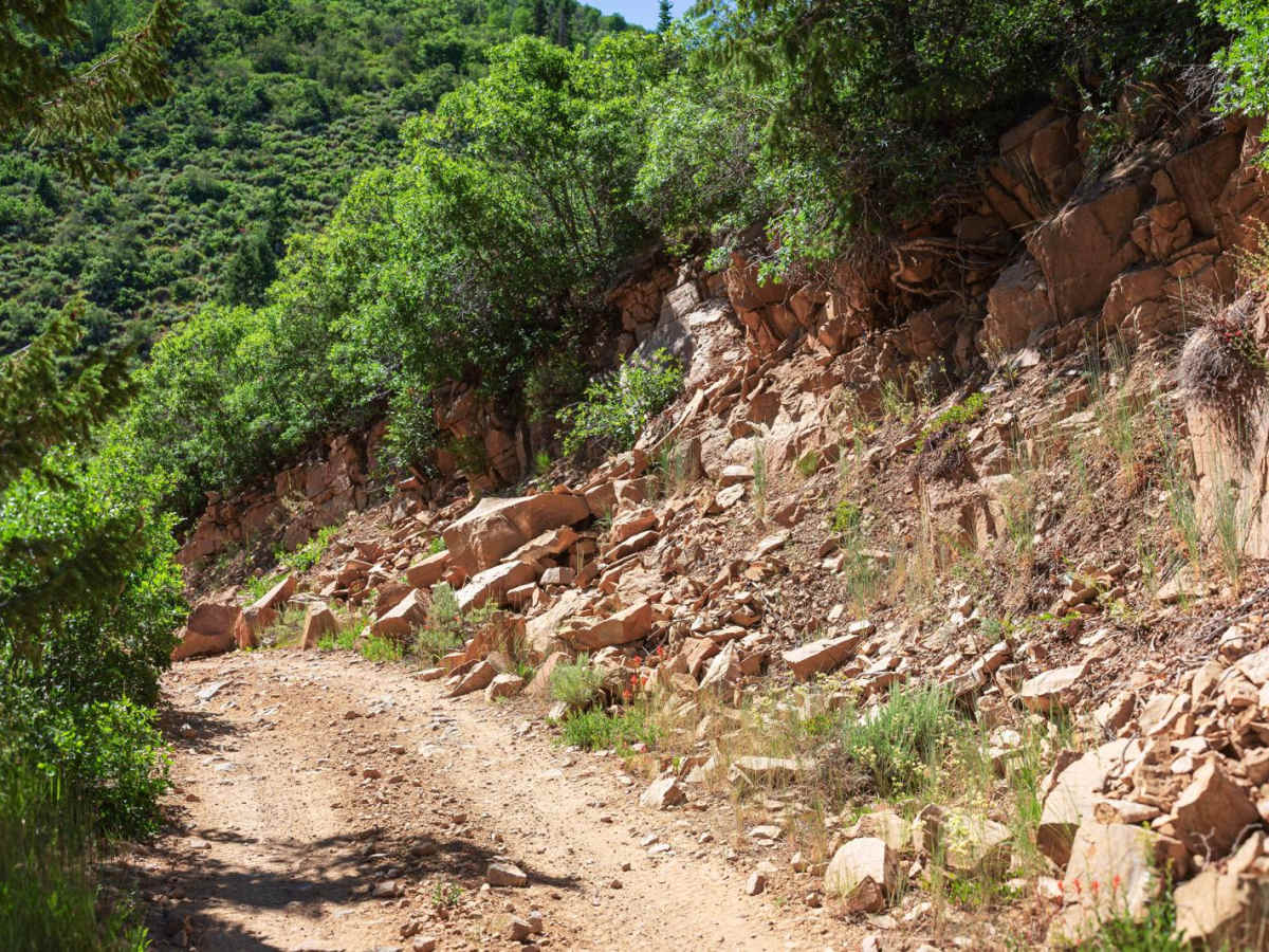
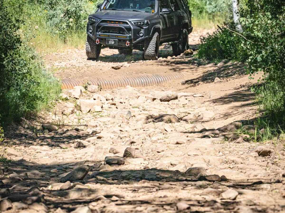
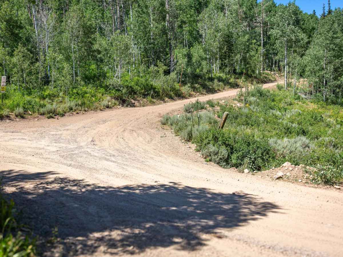
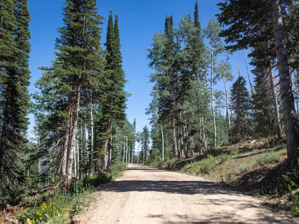
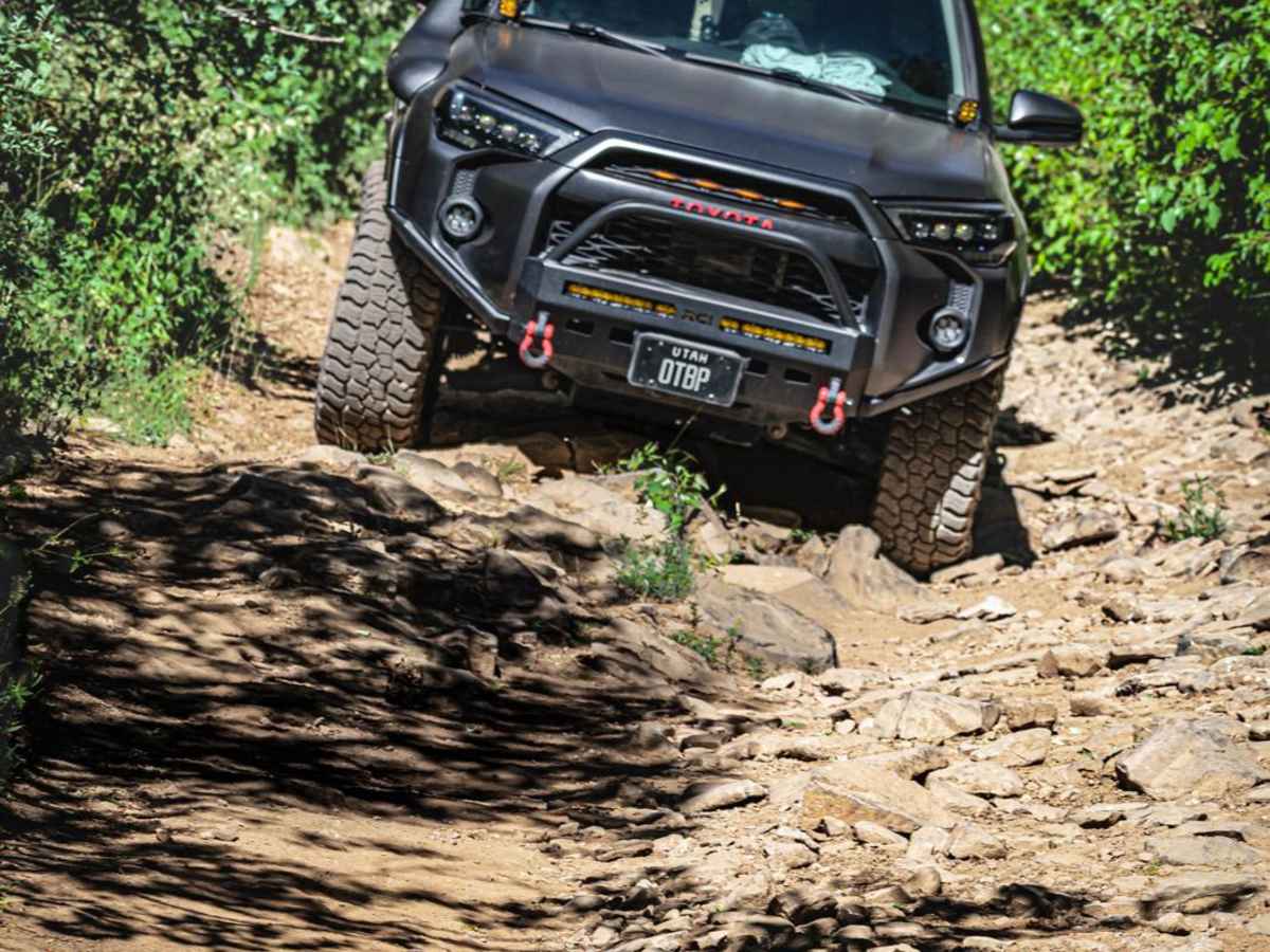
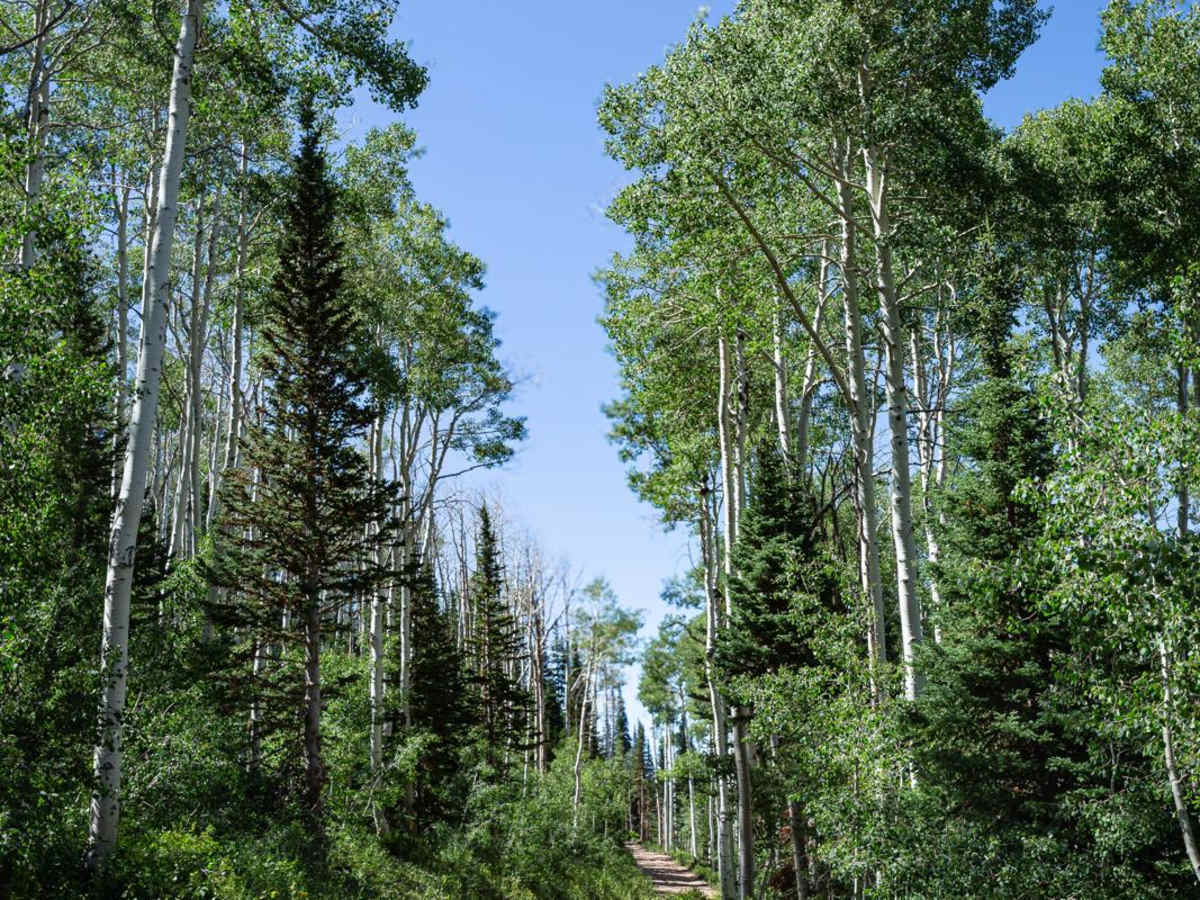
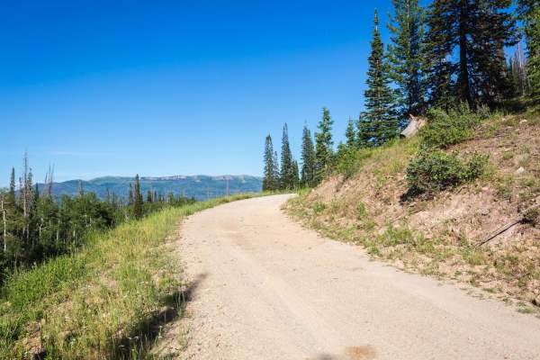
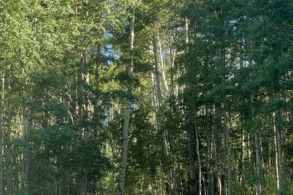
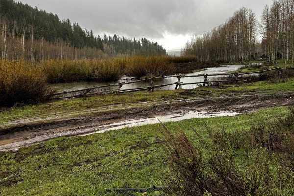
Connecting Wallsburg, Utah, to near Daniel's Summit, Main Canyon (FS 70046) may seem like two different trails in terms of difficulty. From the access on Utah Highway 40 just south of Daniel's Summit until about 5.5 miles in, the road is wide, relatively easy, and well-maintained. There are quite a few dispersed camping sites that are large enough for camping trailers. At about 5.6 miles from Highway 40, the road changes to a lot of loose rock and some ruts. The road narrows, making it difficult for some vehicles to turn around, and it is not well-maintained. At a little over 6 miles in from the east side, there is a corrugated steel culvert pipe that traverses the road. This pipe is partially buried. From the uphill side, it may be difficult to see since half of it is still covered with earth. The ledge created from this pipe is about two feet tall, so be sure you're able to pass over this obstacle.

Photos of Main Canyon - FS 70046

Difficulty

Most of this trail on the east side is quite easy, and the trail is well-maintained. However, it is impossible to complete the trail from one end to the other without passing over a ledge that is about two feet tall, created by a steel culvert pipe. Also on the west end of the trail are some steep sections of loose rock, some the size of cantaloupes.

Technical Rating

5

Status Reports

Add Status Report
Evan Aiudi
May 24, 2026
Open
Map is wrong. The beginning portion of the trail is a green, it doesn’t become a blue until after the intersection with Murdoch Bench coming down from Strawberry Ridge. Entire beginning section up to and just past the intersection with Murdoch Bench is all RV camping. Massive wide open spaces and flat areas as the hill begins. Regular Main Canyon up to the Strawberry summit loop is awesome albeit a bit bumpy.
Cody Sommer
Sep 21, 2025
Open
Nobody but us on this trail. We entered from the Deer Creek Reservoir side and it’s pretty rocky. Super fun, but don’t expect to go more than 10mph for the first half hour or more. The trail is sharp rocks most of the way. It gets a lot better towards Strawberry Reservoir. High Clearance is definitely a need. Made me wish I had sliders, though I still got out without damage.
Edgar Terri
Aug 17, 2025
Open
Very pretty drive, over 80% of it is very rocky, most being sharp. West half has quite a bit of bushes over grown, so pin-striping is medium. Ran in to 2 other rigs and it was difficult to cross each other. Medium dust. There’s a few sections that you will need a high clearance vehicle get through.

Main Canyon - FS 70046 Trail can be accessed by the following ride types:

  • Single Track
  • 50 Inch
  • 60 Inch
  • High Clearance
  • Full Width

Main Canyon - FS 70046 Map

The onX Offroad Difference

onX Offroad combines trail photos, descriptions, difficulty ratings, width restrictions, seasonality, and more in a user-friendly interface. Available on all devices, with offline access and full compatibility with CarPlay and Android Auto. Discover what you're missing today!

Open Trail Map