Trail Overview
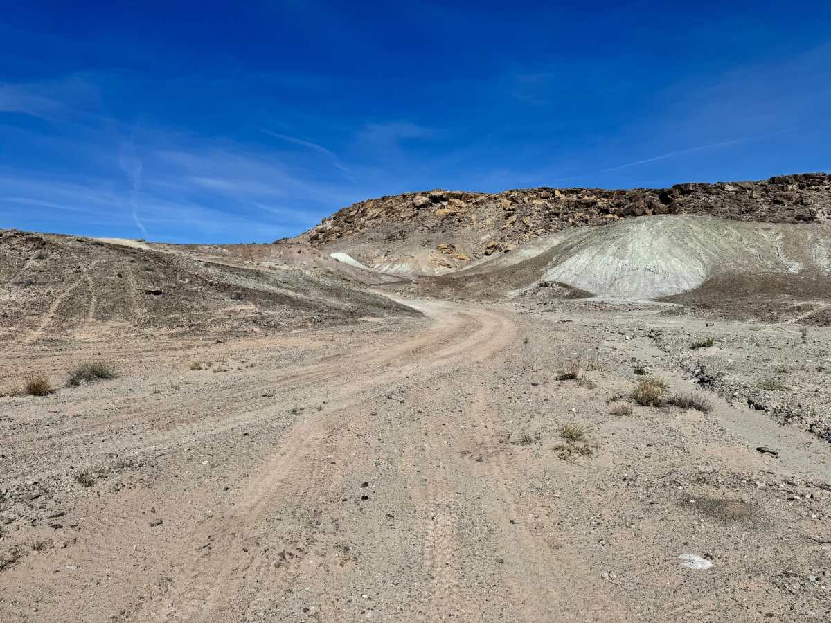
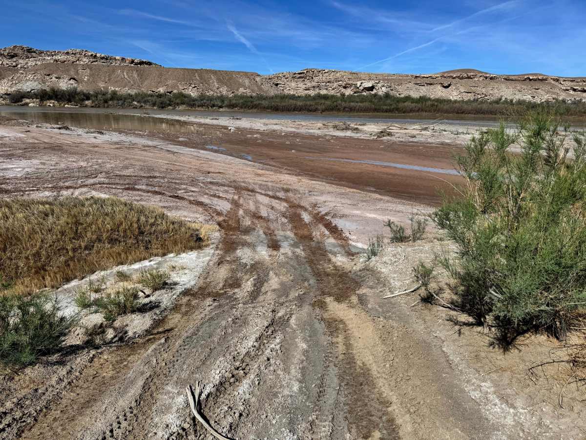
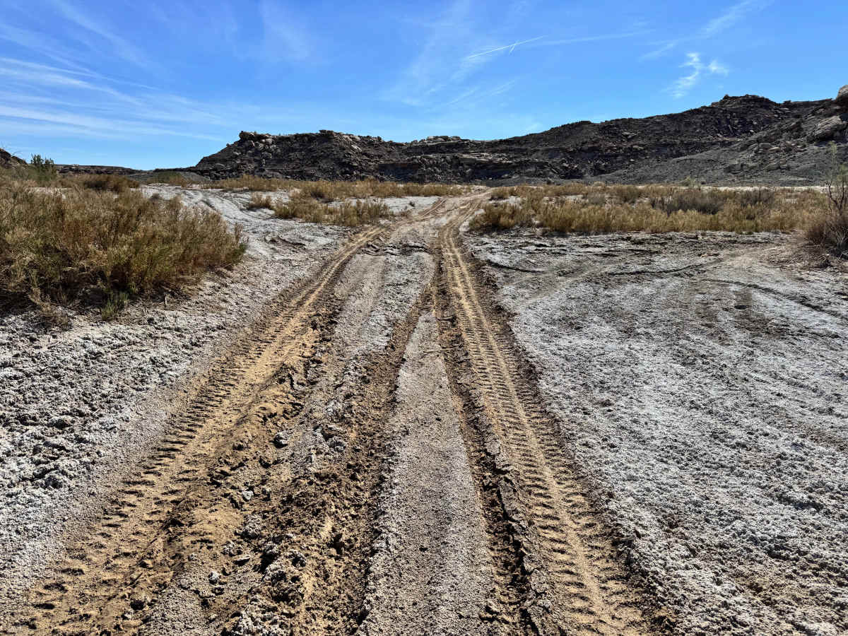
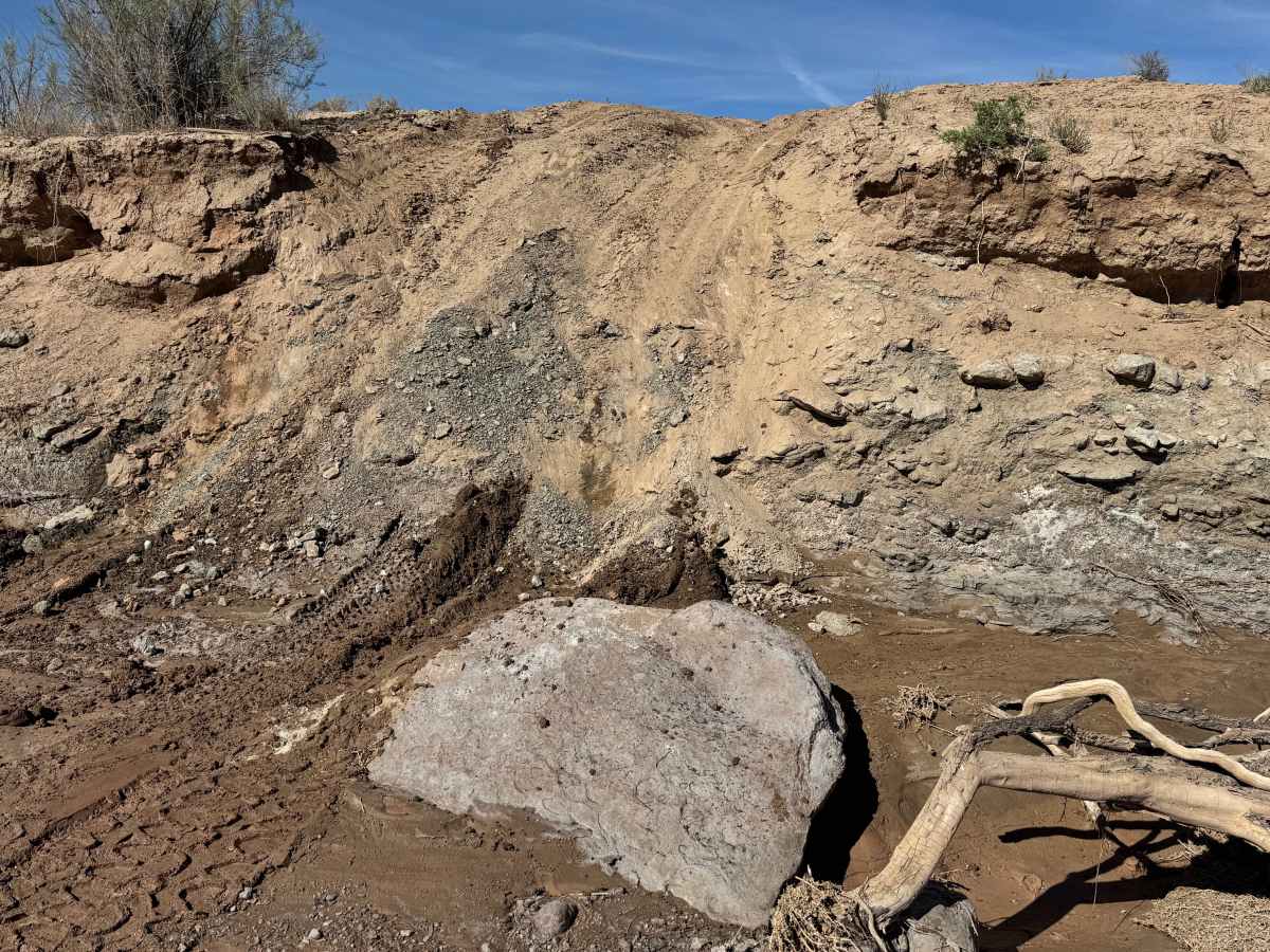
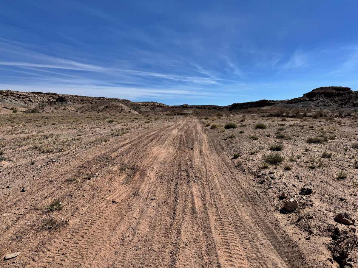
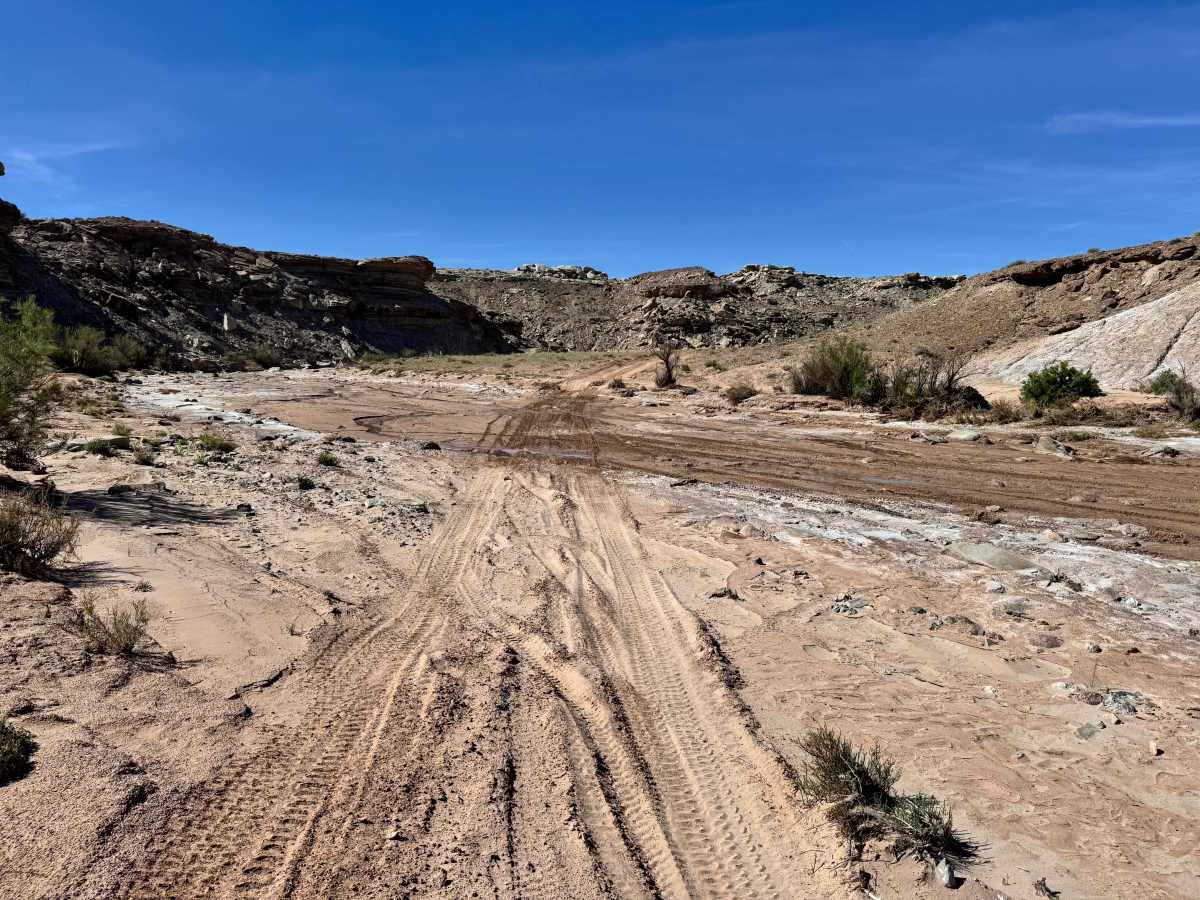
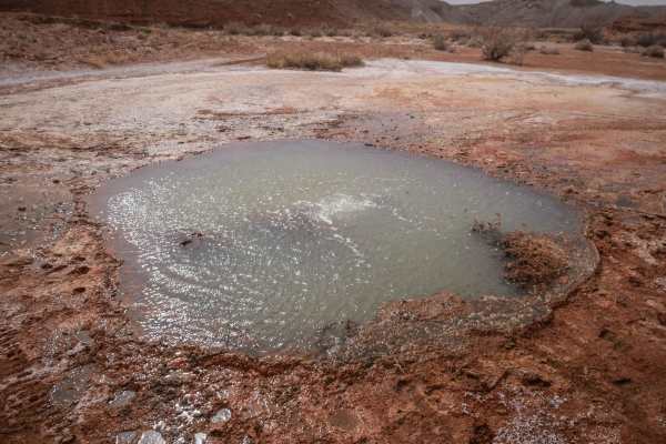
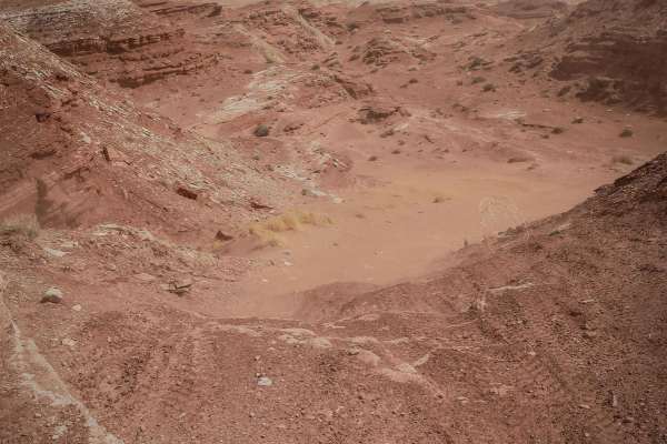
This trail follows the Salt Wash from the Green River overflow area and delivers a route shaped almost entirely by water and erosion. The track crosses the Salt Wash several times, so drivers should expect repeated transitions in and out of the wash bottom as the trail winds through the desert. Some of the entrances and exits are very steep, which can feel abrupt or unstable, especially for shorter wheelbase vehicles that may pitch more sharply on the approach. Numerous washouts along the route add to the roughness and can make faster speeds uncomfortable or risky, so a slower pace is strongly recommended. Surface conditions can change quickly depending on the weather and recent runoff. If any standing water is present in the wash, the trail may become extremely difficult or even impassable due to the soft sandy bottom hidden underneath. In dry conditions, this is a scenic and entertaining route for drivers who enjoy varied terrain and wash driving.
Difficulty
This trail is moderately challenging because of repeated wash crossings, steep entries and exits, rough erosion damage, and changing surface conditions. The terrain is manageable in dry weather for capable high clearance 4x4s, but steep wash approaches and hidden soft sand can quickly raise the difficulty. Standing water may make parts of the route impassable.