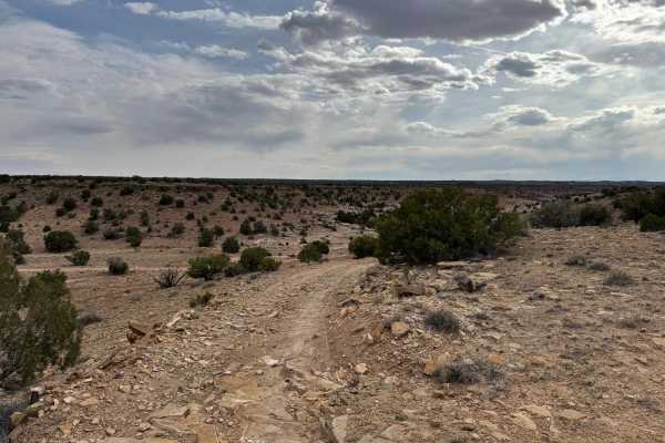
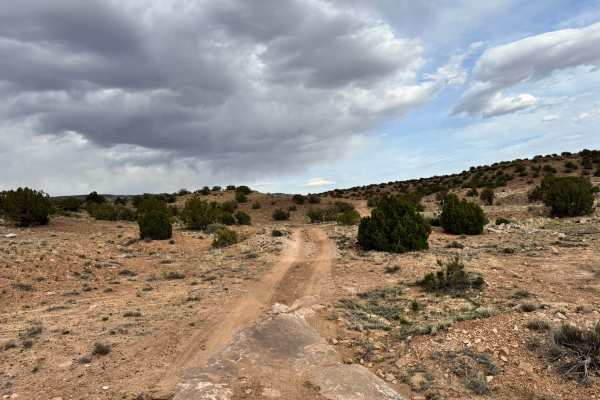
Trail Overview
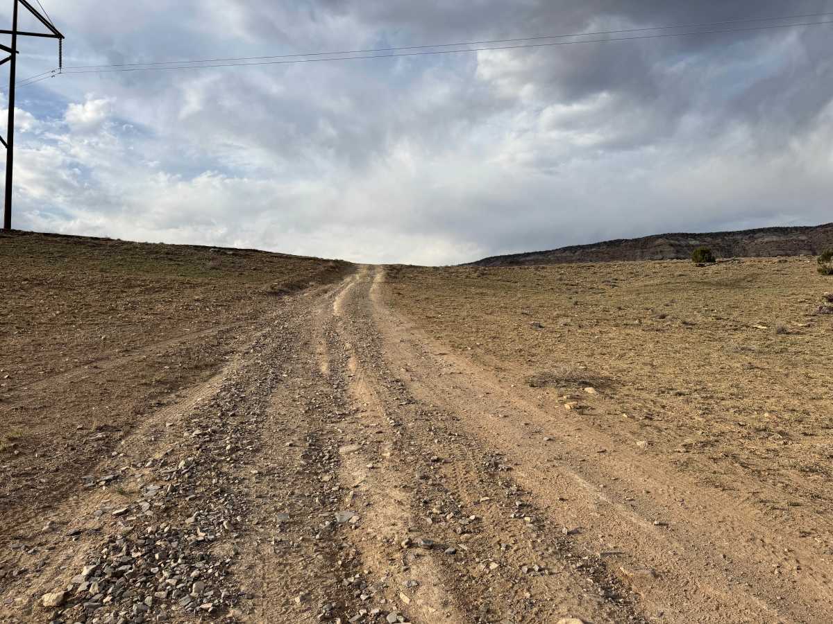
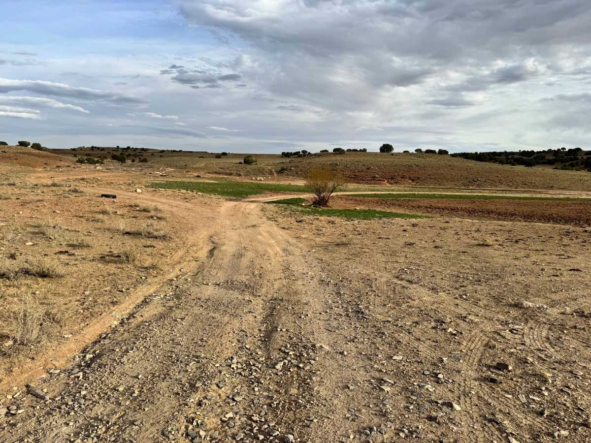
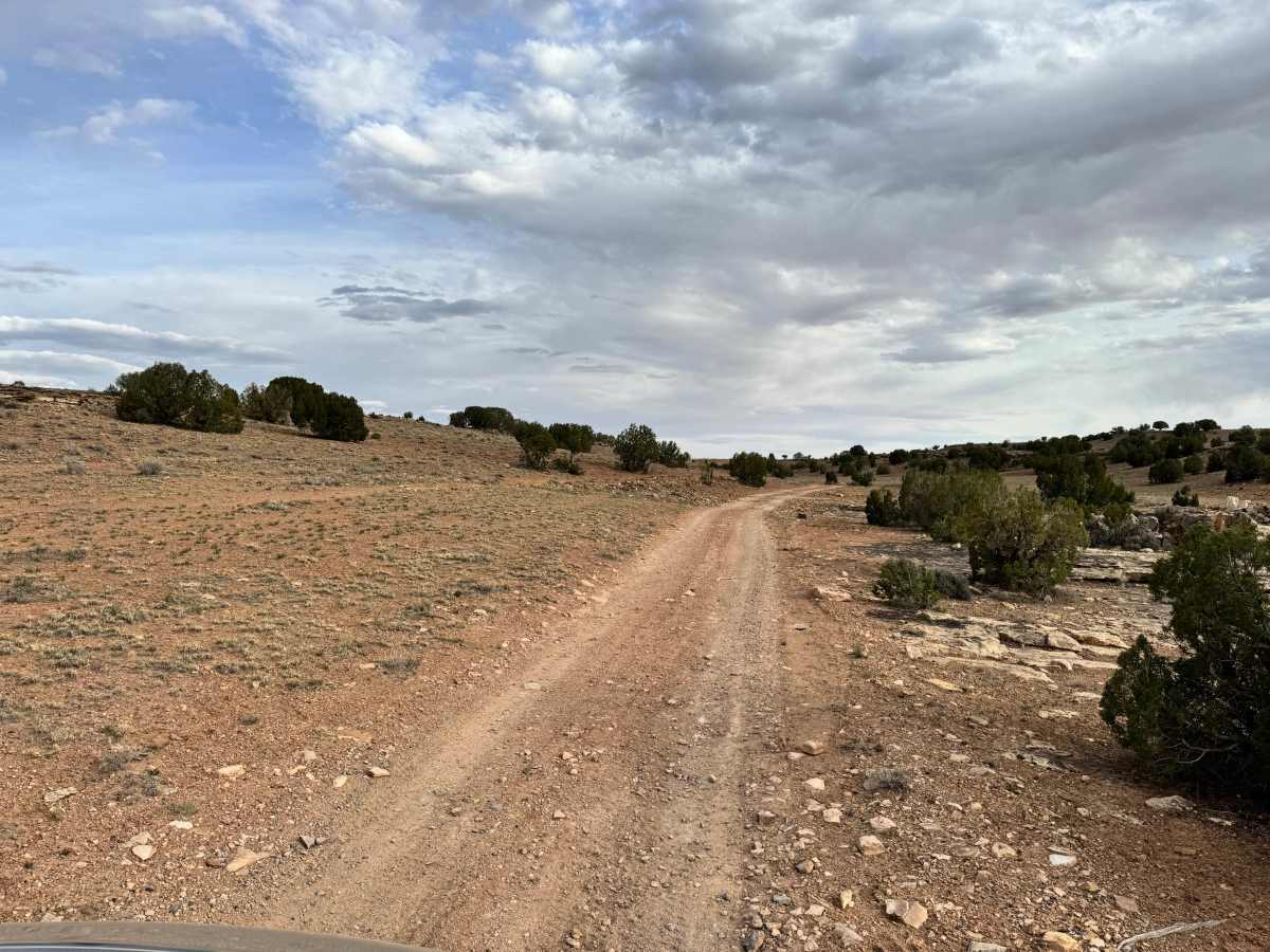
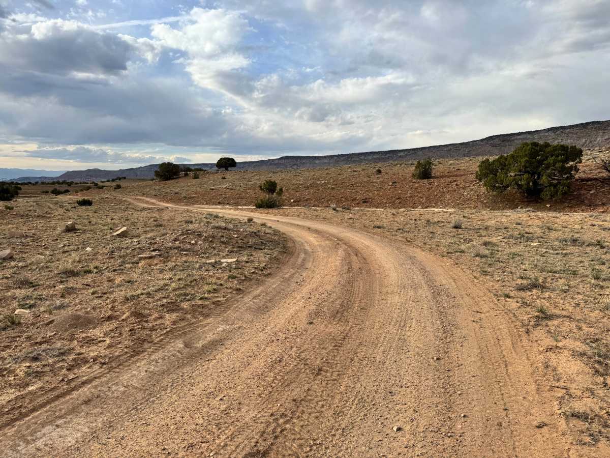
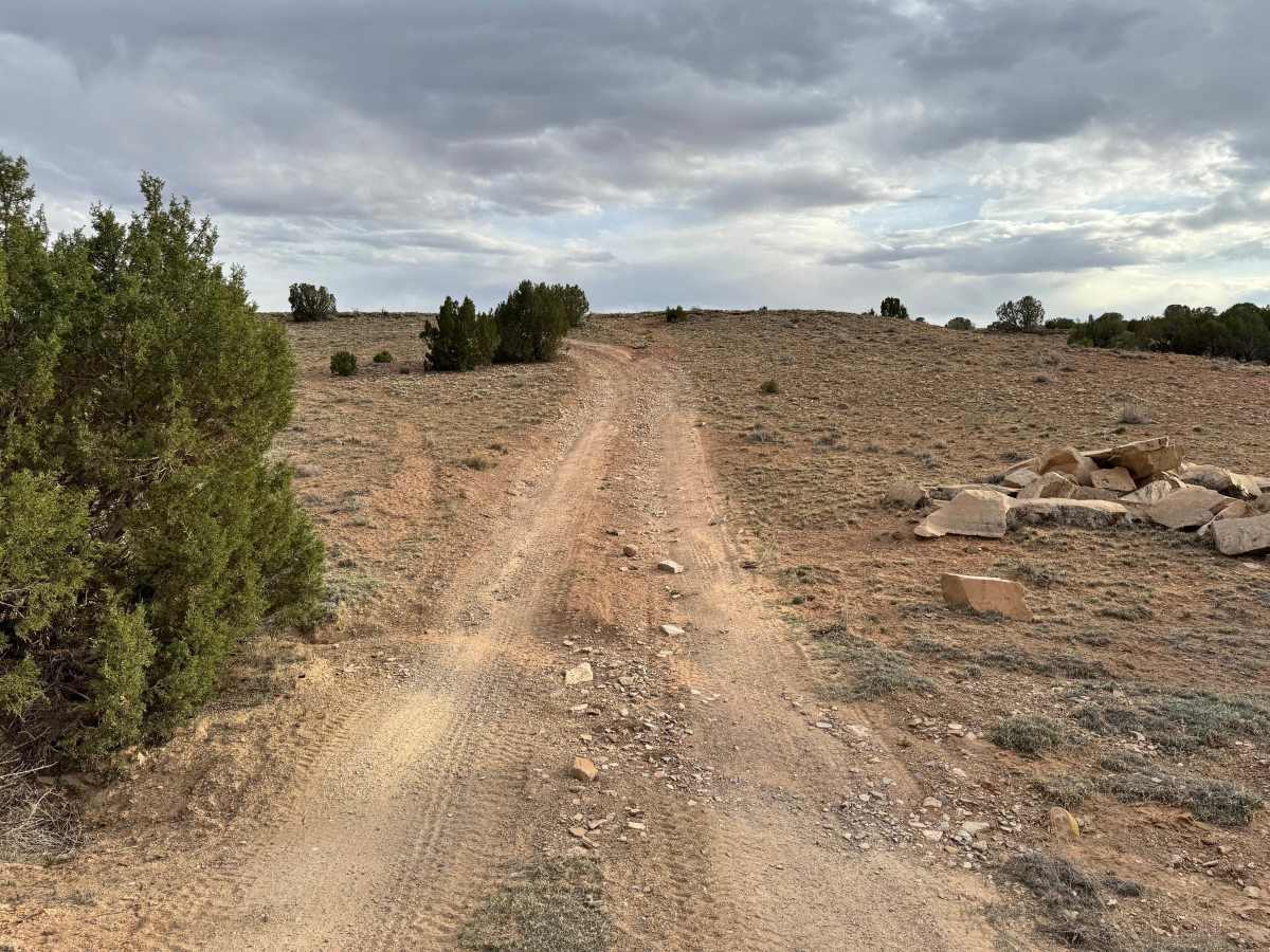
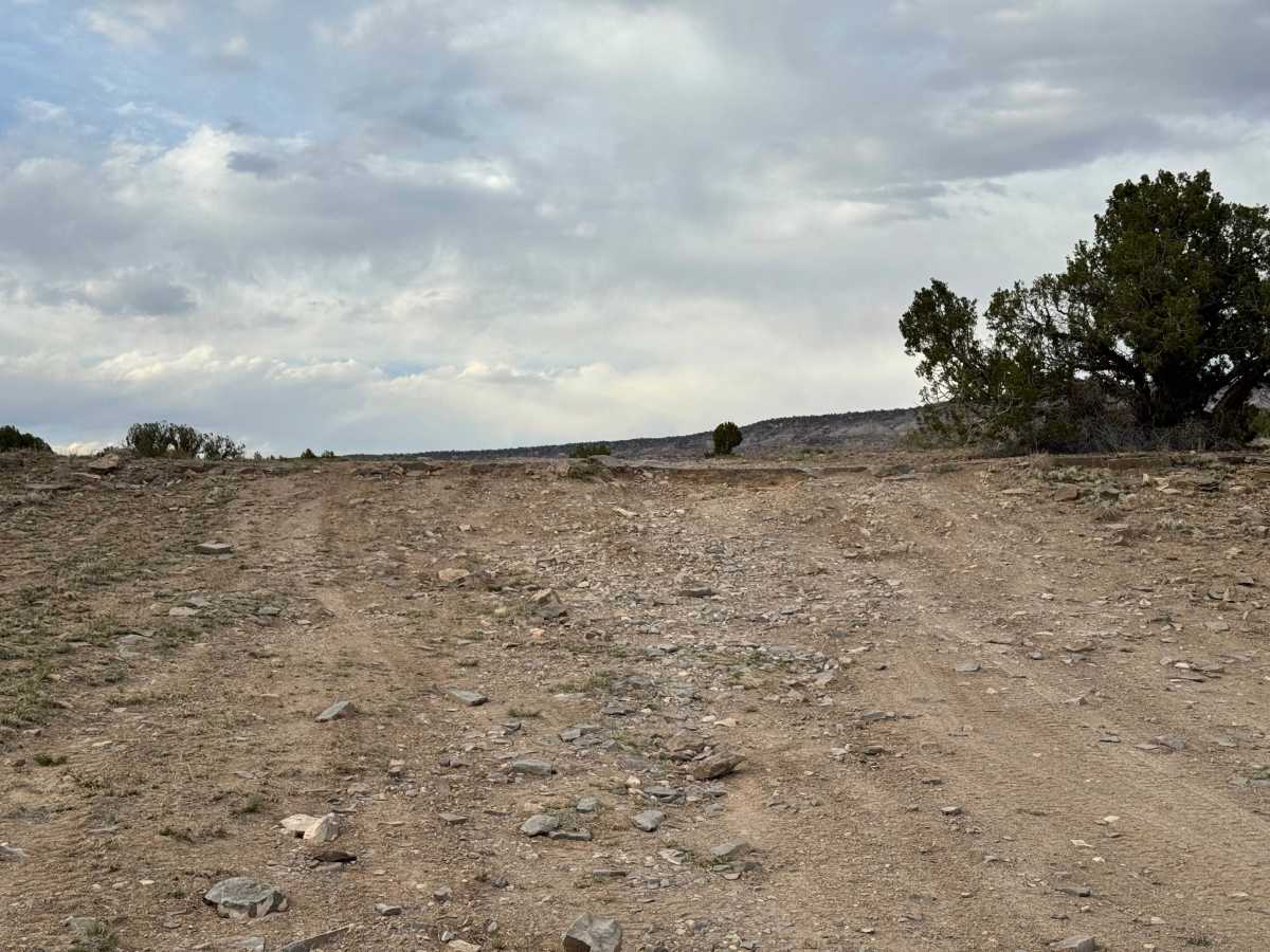
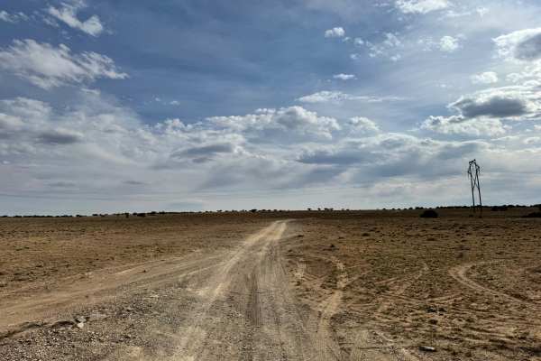
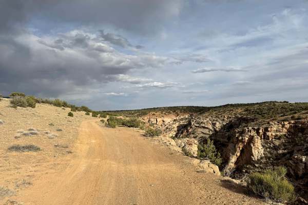
Non-Resident OHV permits apply to ATVs, UTVs, and dirt bikes. Plated street-legal vehicles typically do not need one on legal motorized routes. Little Hole Cutoff is a short and easy connector trail that provides a convenient route between Green River Cutoff, BLM 625, and BLM 626 without needing to travel the full length of the main road. The trail follows a mostly smooth dirt surface with no major obstacles, making it accessible for most high clearance vehicles in dry conditions. Along the way, it passes near the Little Holes area and offers access to a small side canyon branching off Buckhorn Wash, giving a quick taste of the surrounding terrain without committing to a longer route. Overall, this route works well as a time saving shortcut and an easy way to link together nearby trails in the San Rafael Swell.
Difficulty
This is a very easy connector route with a smooth dirt surface and no notable obstacles. It’s suitable for most high clearance vehicles and can often be traveled in 2WD during dry conditions, making it a simple and low risk shortcut between trails.
History
The San Rafael Swell is a massive geologic uplift shaped by erosion into canyons, mesas, domes, and reefs. Many roads in the region were later used for ranching, mining, and energy exploration, creating the access routes travelers still use today.