Trail Overview
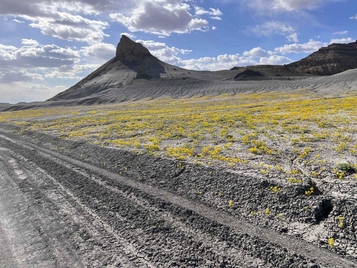
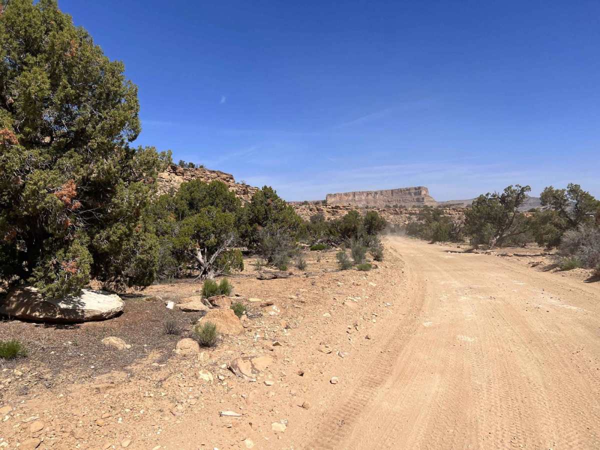
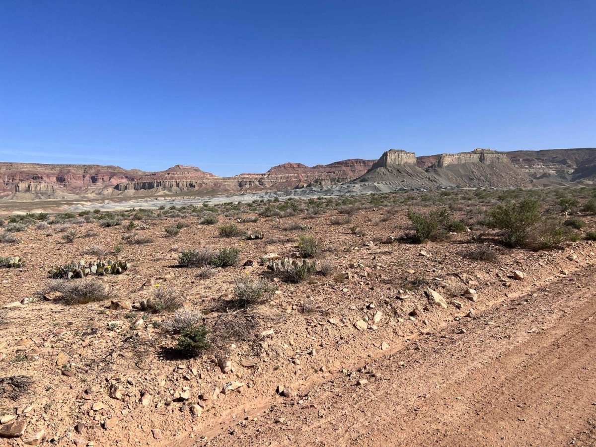
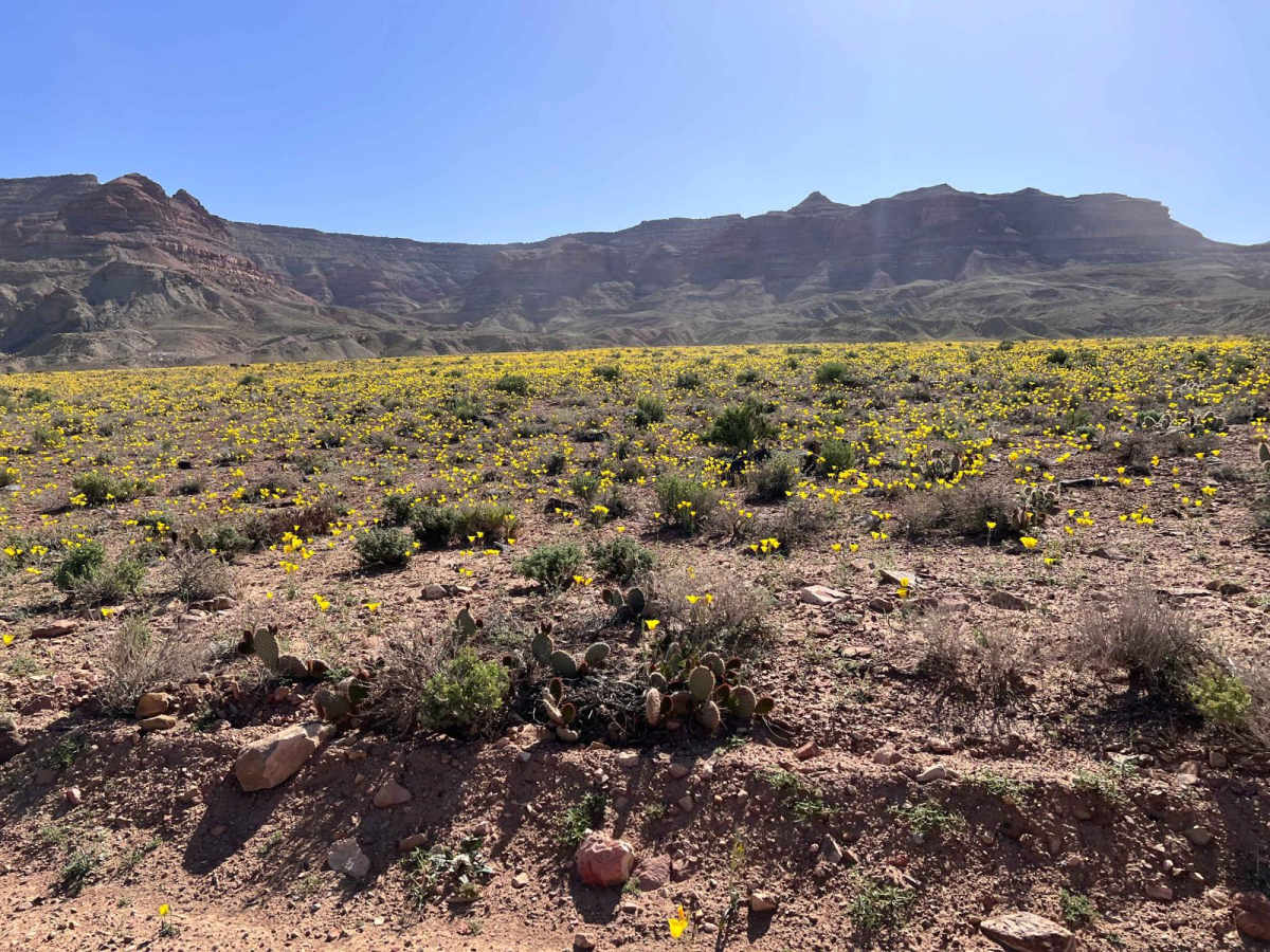
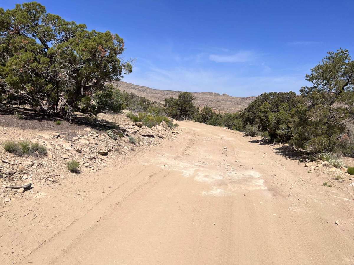
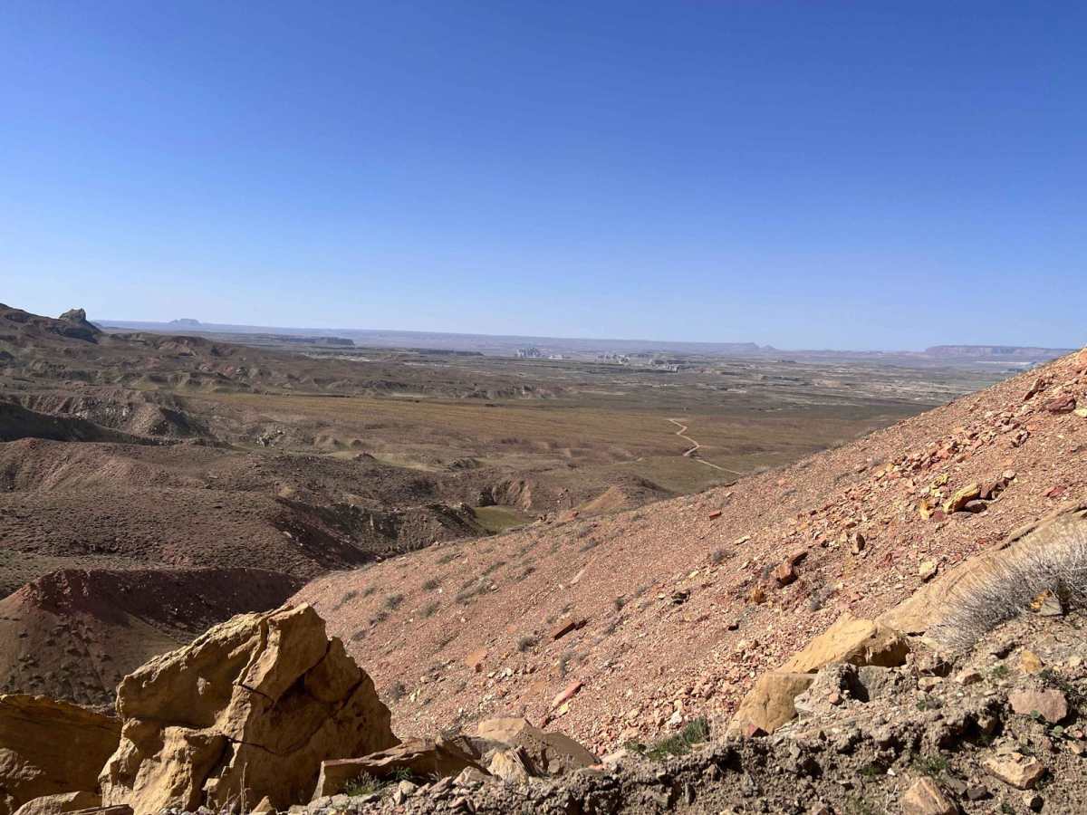
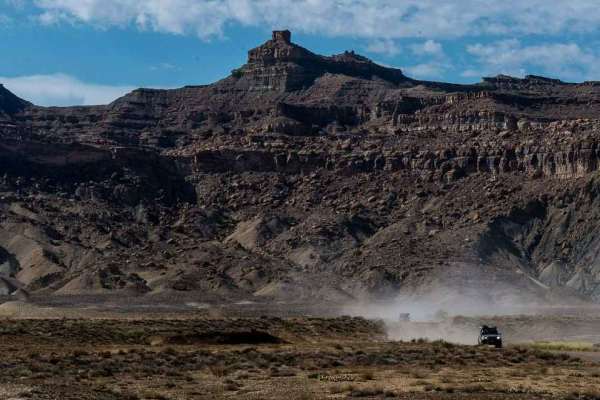
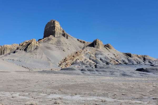
Left Hand Collett Canyon Road (BLM230), in total, is two BLM roads that cover approximately 85 miles between Big Water and Escalante, Utah. This road traverses a major portion of the Grand Staircase-Escalante National Monument. On the southern end, covered by this submission, you start very near Lake Powell and there are short side trips to fantastic views of the lake area. You will climb from approximately 3,900 feet to approximately 6.600 feet in elevation over the 46-mile journey. There is a mountain of "clean coal" that exists under the surface. This coal was placed off-limits by President Bill Clinton for future mining. As part of traversing this portion of Left Hand Collett Canyon Road, a separate submission shows two must-see sites including holes in the ground showing the smoldering coal beneath the surface. This is a very scenic drive with majestic views of centuries of erosion from wind and water. We were lucky enough to see the desert in full bloom after a wet winter season. The road will go from a more barren desert landscape and climb up a mountain road to another level on the Grand Staircase. On this upper level, you will travel through a cedar tree-strewn landscape with additional views. Taking the time to enjoy the area is time well spent.
Difficulty
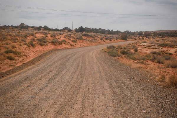
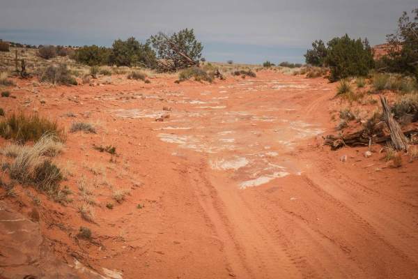
The southern portions of the road are well maintained two full lane gravel roads for the most part. As you reach the climb up to the next level the road does narrow and become slightly more challenging. A good SUV or other similar vehicle will provide clearance for most obstacles. Two wheel drive vehicles may be challenged on the climb in some area but nothing should be unsurmountable. This is a remote area with limited availability of outside communications. Care should be taken in the area and make sure you take adequate water, especially during the warmer months. Care should also be taken during storms or winter months as this is a very high area and severe thunderstorms can lead to flash flooding or snow in the winter.