Interstate 80 Overlook

Total Miles1.2
Technical Rating
2Easy
Best TimeSummer, Fall, Spring
Trail TypeFull-Width Road
Accessible By
Open Trail Map

Trail Overview

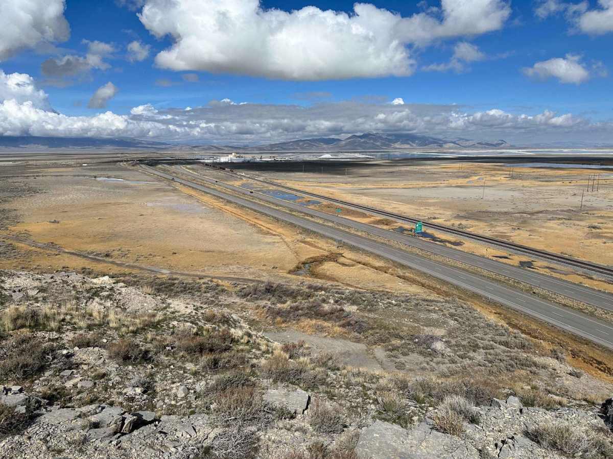
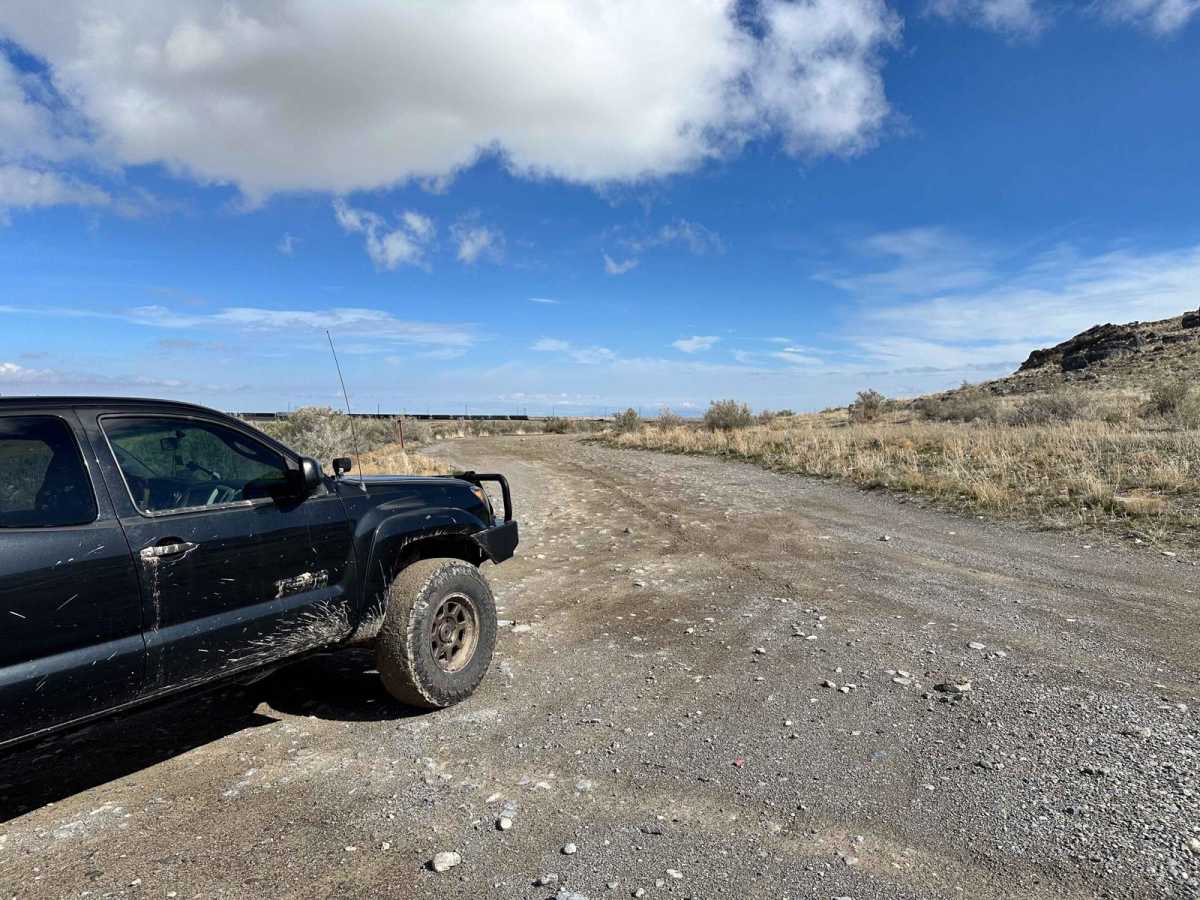
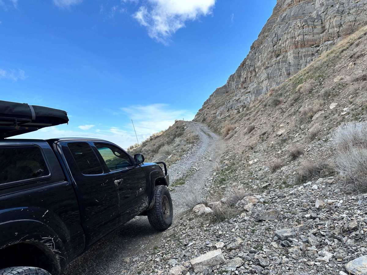
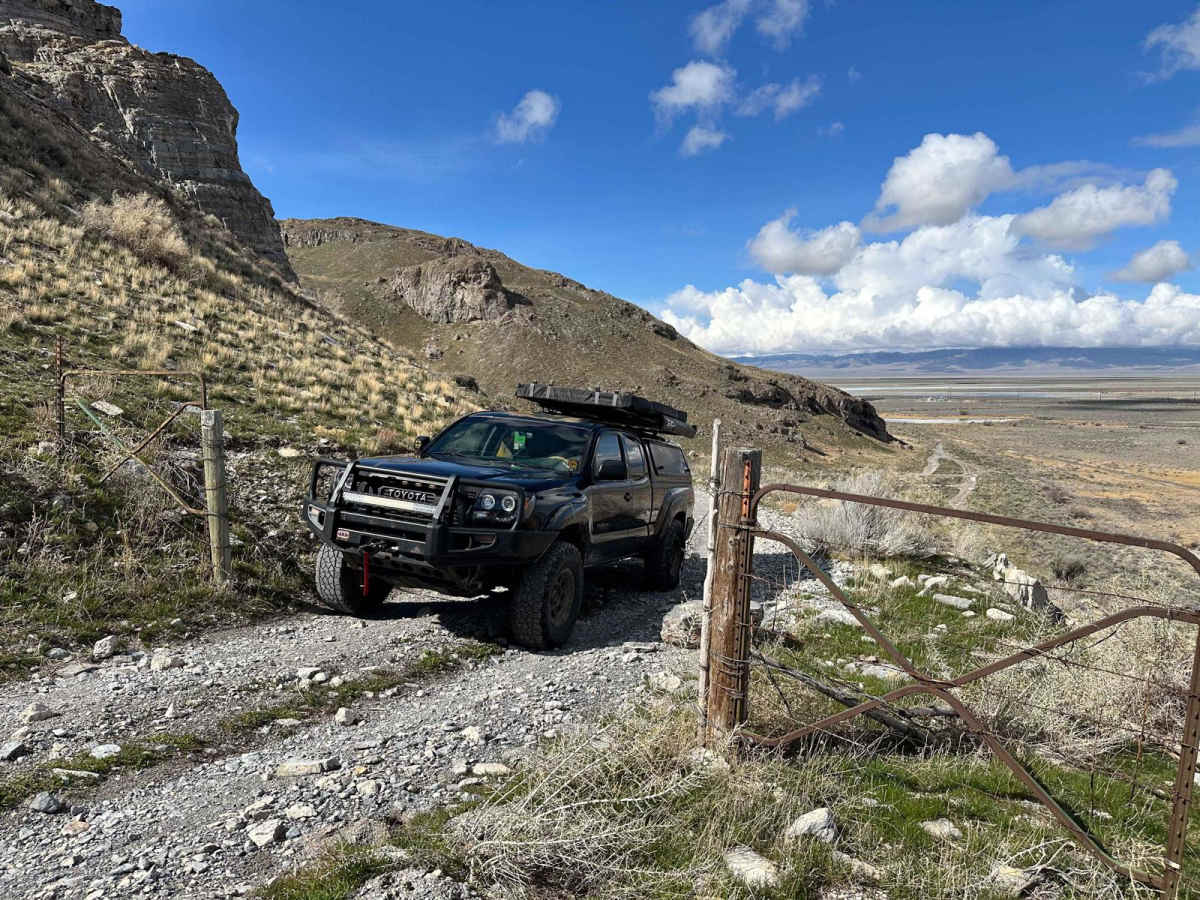
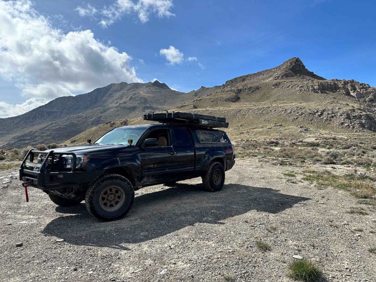
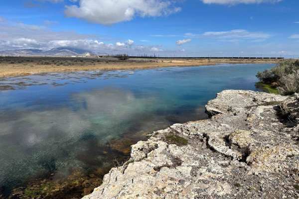
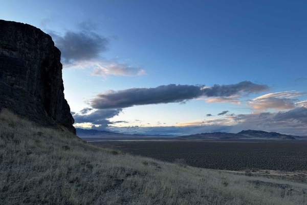
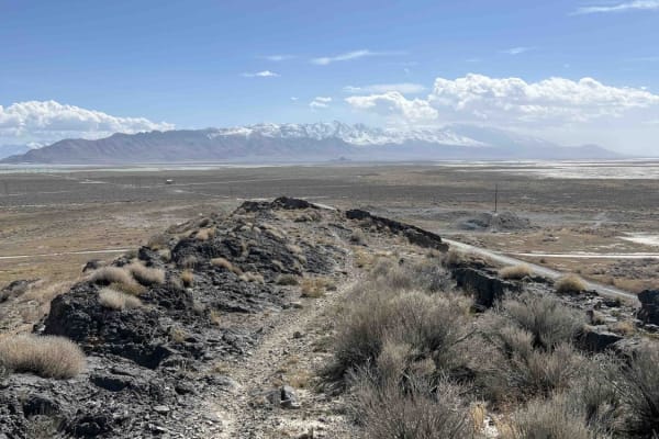
This is a short drive off State Highway 196 leading up to an area overlooking Interstate 80 and the Timpie Springs Waterfowl Management Area. You will also find a beautiful natural spring known as the "Big Spring" on this trail. After driving for about a mile, you will come across a decent incline with loose rock. This area is very popular for recreation shooting and camping, so be aware of others around you.

Photos of Interstate 80 Overlook

Difficulty

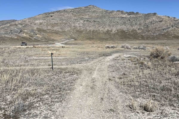
There are some spots on the trail that fill up with water after rain or snow, providing some easy water crossings. There are also some rock obstacles to traverse near the end of the trail.

Technical Rating

2

Status Reports

Add Status Report
Morgan Watkins
May 17, 2025
2023 Can-Am Commander Max 1000R
Open
NormalDusty
This was my first time tackling this trail, and I started from the east side. It was surprisingly easy! The trail was in great shape, and the view from the top was breathtaking. I went back up from the east side, and almost to the top, there were some rocky, steep sections where I had to use my 4x4 and lock the differential. But overall, it was a pretty straightforward trail.

Interstate 80 Overlook Trail can be accessed by the following ride types:

  • Single Track
  • 50 Inch
  • 60 Inch
  • High Clearance
  • Full Width

Interstate 80 Overlook Map

The onX Offroad Difference

onX Offroad combines trail photos, descriptions, difficulty ratings, width restrictions, seasonality, and more in a user-friendly interface. Available on all devices, with offline access and full compatibility with CarPlay and Android Auto. Discover what you're missing today!

Open Trail Map