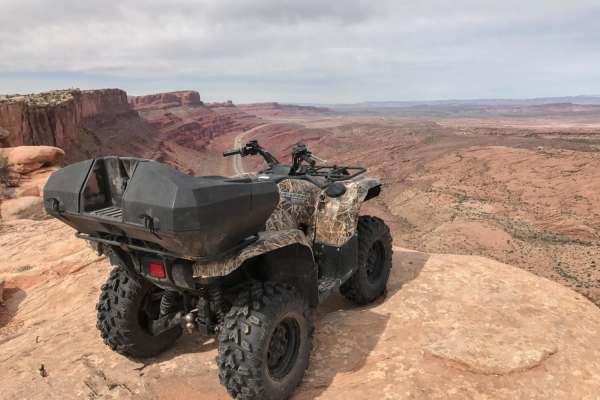
Trail Overview
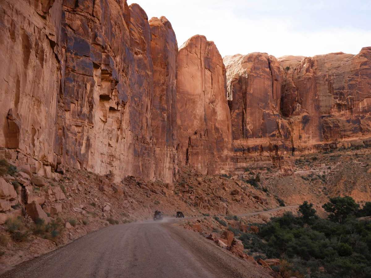
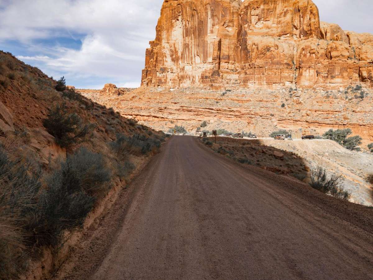
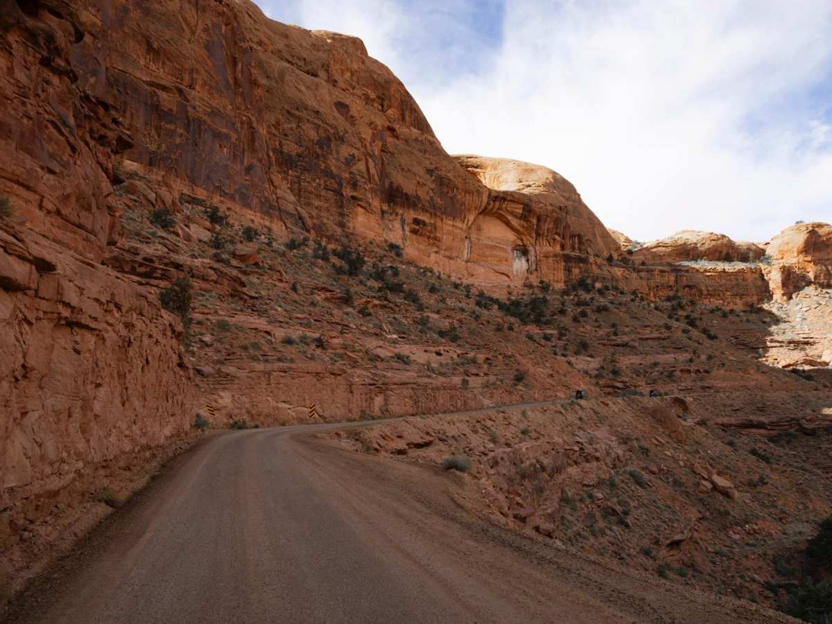
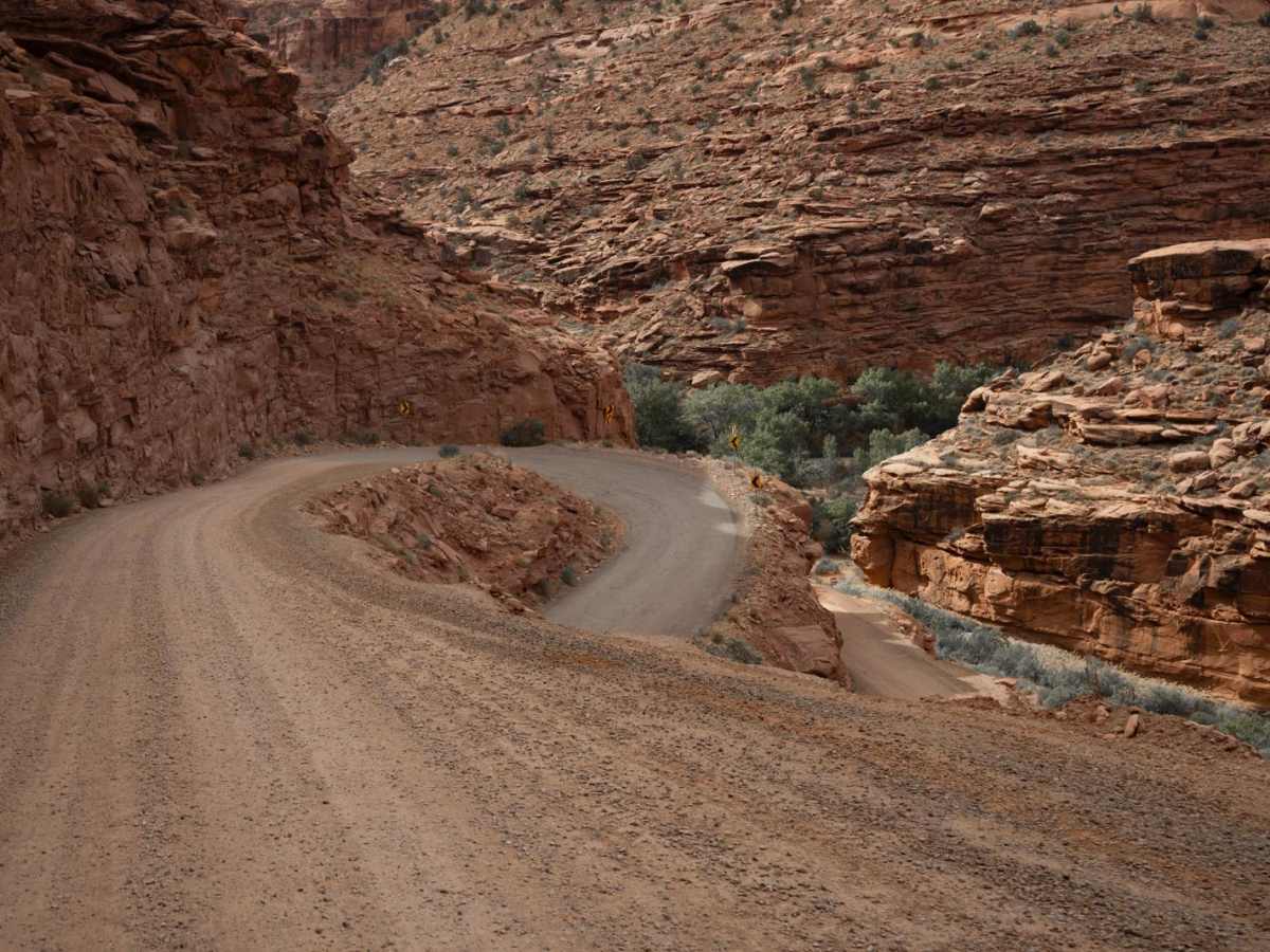
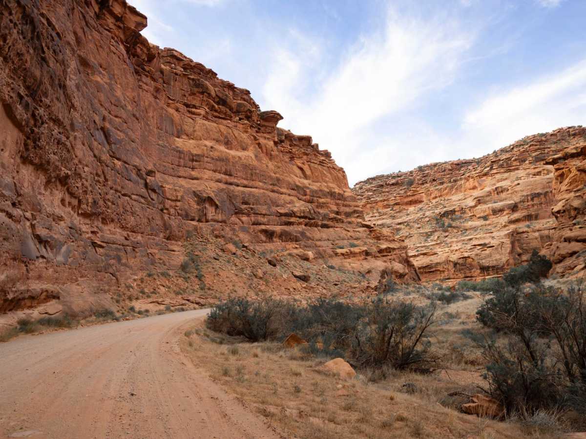
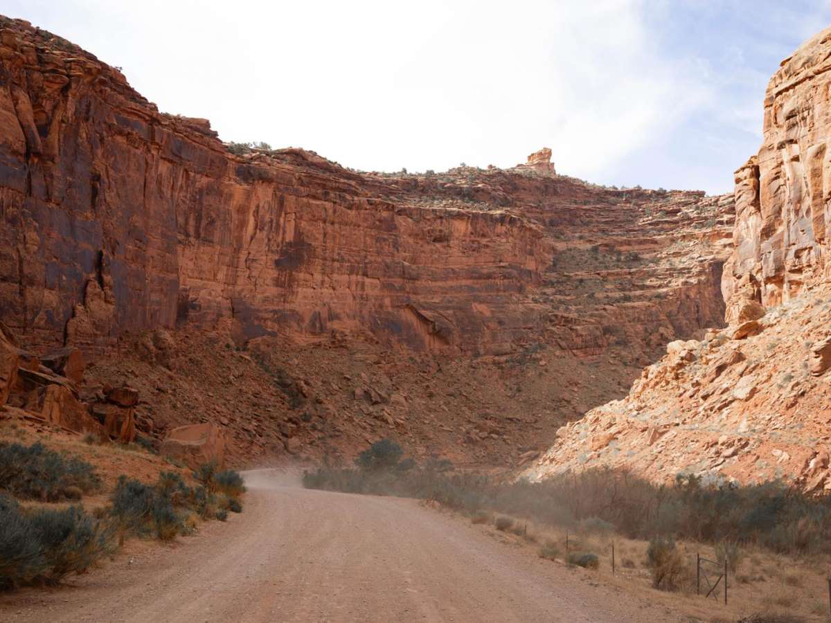
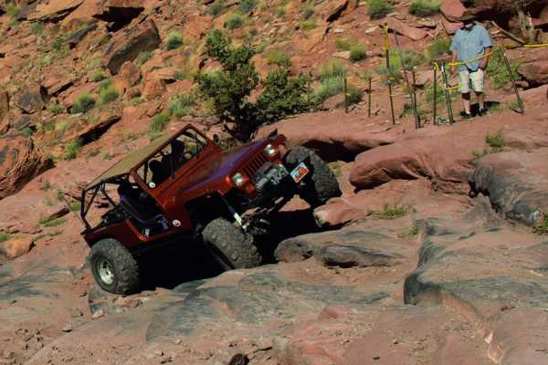
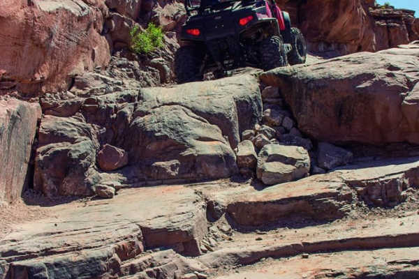
Hurrah Pass is a classic Moab route that blends scenic red rock landscapes with approachable off-road terrain, making it one of the more accessible and popular trails in the region. The trail stretches west from the Kane Creek area, winding its way through a dramatic canyon corridor before climbing to the wide saddle of Hurrah Pass, which overlooks the Colorado River and surrounding canyon country. The road is mostly dirt and gravel, with sections of slickrock and sand. There are no mandatory obstacles, though it is bumpy, making it suitable for high-clearance 2WD vehicles in dry conditions. Still, 4WD is recommended for confidence on steeper or looser sections. Experienced drivers will find plenty of optional "fun" lines--side ledges, small climbs, and rock shelves that offer a bit more challenge without becoming technical. Along the way, you'll encounter several shelf road segments that narrow to one lane, especially on the climb up to the pass. These areas can be exposed, so drivers should be cautious and prepared to yield or reverse for oncoming traffic. Wash crossings may be present, especially after storms, and may be up to a foot deep, but they're typically mellow under normal conditions. The route is lined with numerous pullouts, dispersed campsites, and paid designated campgrounds, many offering incredible views of the red cliffs and desert vistas. Because of its scenic appeal and proximity to town, Hurrah Pass is heavily trafficked by off-roaders, mountain bikers, and rental UTVs, so expect company, especially on weekends and holidays. Whether you're seeking a relaxing drive with iconic Utah views or scouting a basecamp for deeper exploration, Hurrah Pass delivers a quintessential Moab experience without requiring extreme driving skills.
Difficulty
This is a well-traveled dirt road through some of Utah's most beautiful terrain. The road does have sections that are one lane, as well as shelf road sections, and wash crossings that have the potential to become water crossings, especially after a storm.
History
Hurrah Pass, near Moab, Utah, has a history rooted in early ranching and later mining activities. It was originally a cattle trail, known as "The Notch," used by ranchers to drive their herds across the Colorado River and up Kane Creek. Later, miners widened the trail into a roadway, which is now known as Hurrah Pass. The trail is also used for mountain biking and 4x4 routes, offering scenic views of Canyonlands National Park.