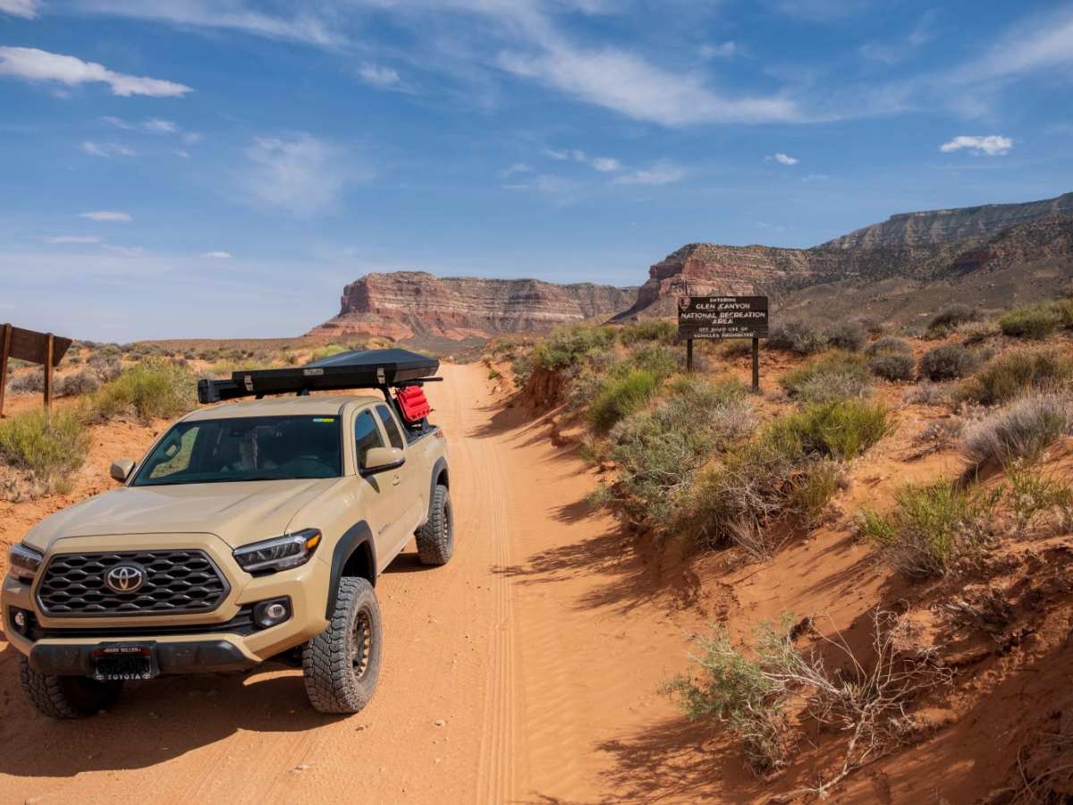
Hole In The Rock Road

Total Miles 56
Technical Rating
3 Easy
Best Time Spring, Summer, Fall, Winter
Trail Type Full-Width Road
Accessible By
Open Trail Map

Trail Overview

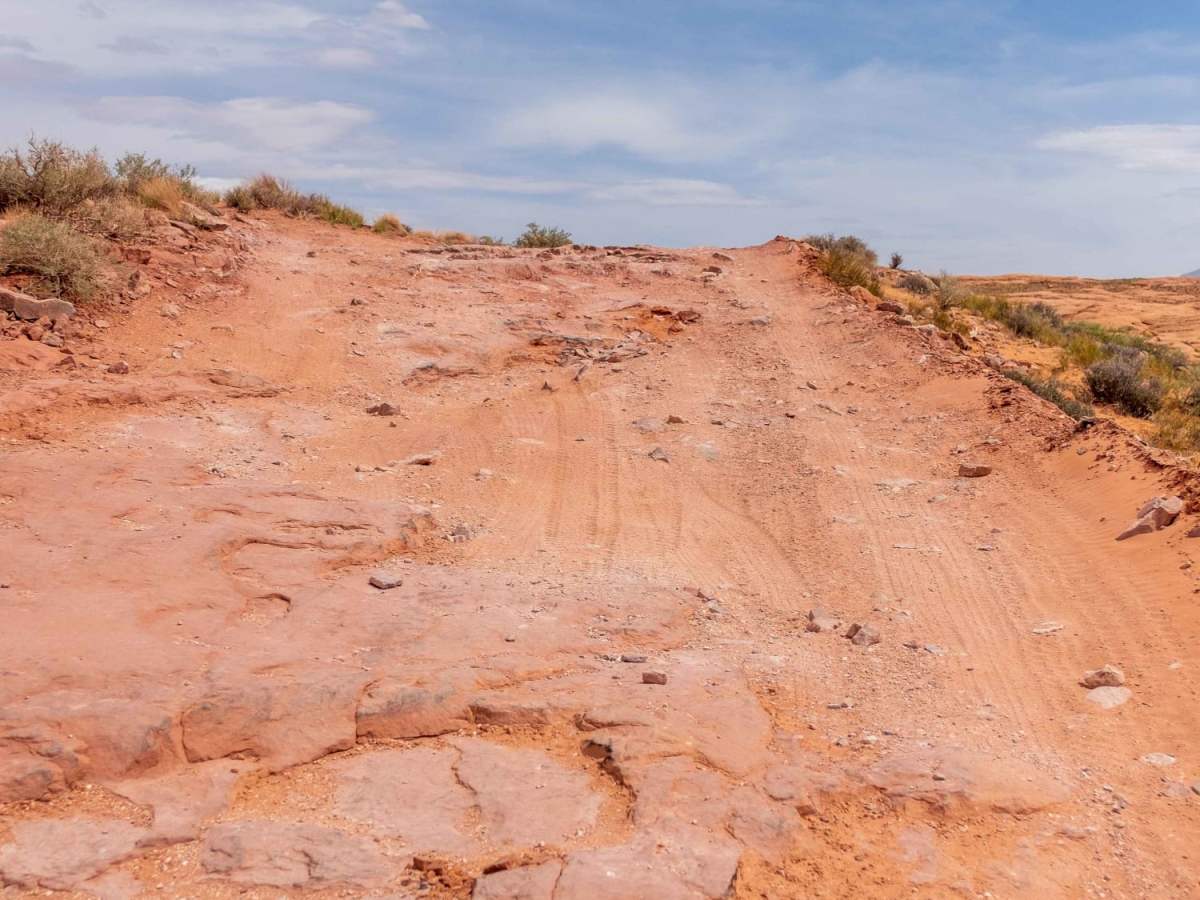
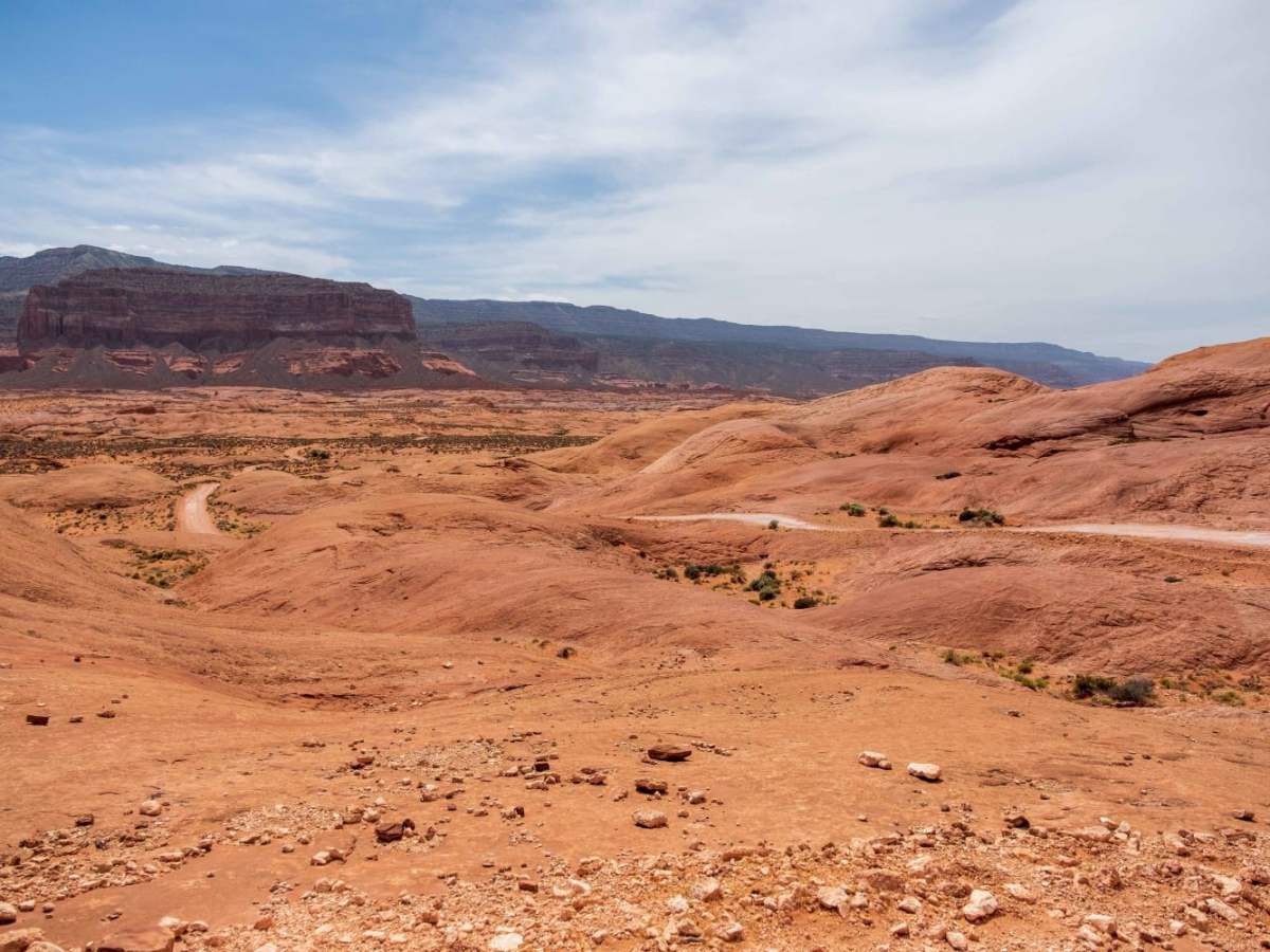
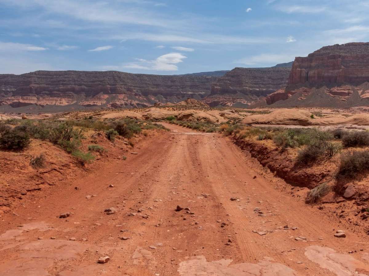
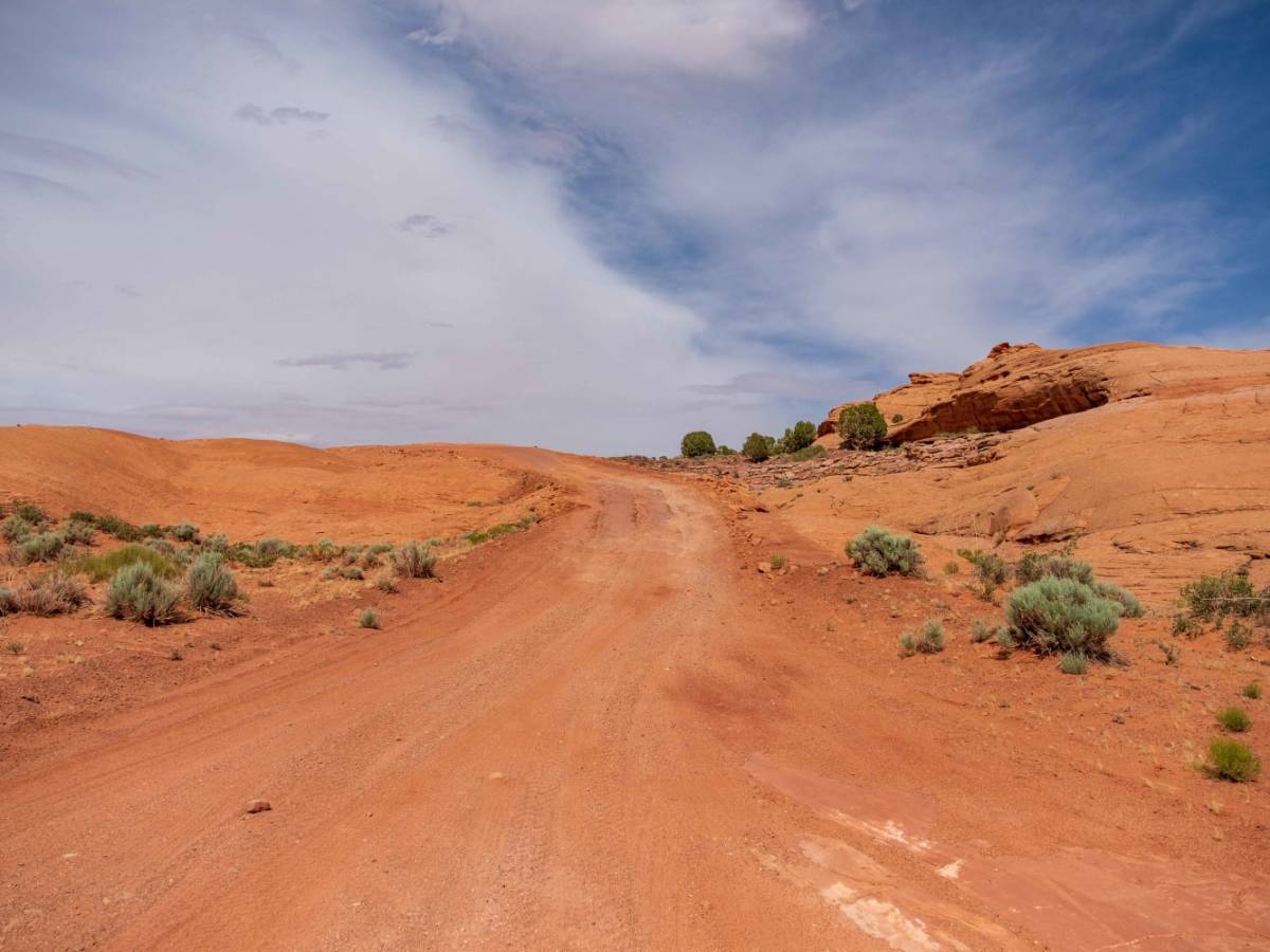
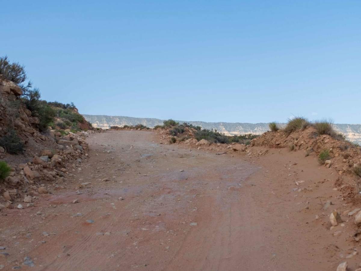
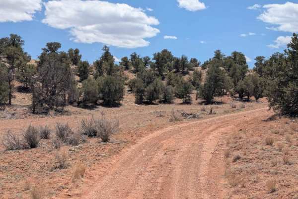
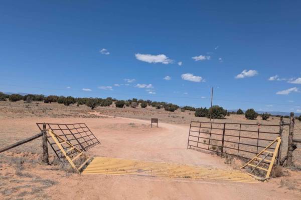
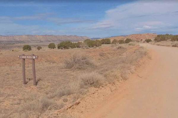
Hole In The Rock Road (BLM 200) travels through the heart of Grand Staircase-Escalante National Monument. Almost 60 miles in length, this out-and-back dirt road travels through some of the most remote country in the lower 48 and provides access to the Canyons of the Escalante and Lake Powell. While not overly technical when dry, the road is famous for the wounds it's inflicted on vehicles over the years. Miles and miles of washboards lead to expansive views and solitude. The last 5 or so miles through Glen Canyon National Rec Area get a little rougher as one must traverse sections of slick rock, sand pockets, and there is one fun series of steps each between 5-10 inches in height. The steps are right in the middle of the road, so only one side of the vehicle needs to climb them, while the other side can be placed over packed rock and dirt.

Photos of Hole In The Rock Road

Difficulty

When dry the road is primarily dirt washboard with occasional sections of loose sand and rock. The further you go the more remote and rougher the road will get. The last 5-10 miles will have sections of loose rock, slickrock, soft sand and small shelfs that the Park Service does not recommend for non 4x4 vehicles. The road dips into many large washes so be prepared in the event of rains or flash floods as it may become impassable.

History

A Mormon lead expedition pioneered the route in 1879 using the hole in the rock to get their wagons down to and across the Colorado River in route to San Juan County region. Stop by the Escalante Heritage Center located just to the west of the entrance towards the town of Escalante for more information on this historic route.

Technical Rating

3

Status Reports

Add Status Report
Al Gibson
Aug 10, 2025
Open
Weston Eichner
May 31, 2025
Open
Easy trail for most vehicles, last 10 miles becomes a bit moderate as you'll be driving on hard pack or rock. The rock is the famous red rocks all around the trail. Do not give up in the last 10 miles! Great ending view at the trail head. Walk up the left side of the gorge to see Lake Powell. Speed whoops cover most of the trail.
Olivier B
Nov 20, 2024
Open
Easy trail, pretty rough washboards but still ok in a truck. Went up to Harris wash.
Bill Smith
Sep 16, 2024
Open
Easy grade except last few miles where it’s got some slickrock and small ledges. The graded portion has a lot of washboard which was worsening further south. Scenery is unremarkable for the area.
Jay Lund
Jul 14, 2024
Open
Mason Harper
Jun 13, 2024
Open
Super duper washboardy. Tighten those bolts
Sean Mnich
May 17, 2024
Open
Paved road for first 5 miles, the paved road is in poor condition — then washboard for the rest of the road. Pretty much any type of car can handle it. We drove a ford transit camper van a little bit more than 10 miles into the road. We saw a Toyota Corolla out there so pretty much any car can handle you’ll just rattle some bolts loose with the non stop washboard
Steve Clarke
May 08, 2024
Open
Easy wide dirt trail but horrible wasboard.
Tracy Scott
Apr 24, 2024
Open
Fifty plus miles of extremely washboard road. Slow going because of the washboard conditions. This would be an all day drive to the end and back. Take a couple of days and keep tools handy. It will rattle off even the tightest bolt on your rig.
Justin murry
Jan 19, 2024
Open
Russel Parker
Sep 24, 2023
Open
Daniel Singleton
Aug 05, 2023
Open
Josue Marquez
Jul 10, 2023
Open
Nick B
Jun 05, 2023
Open
Greg Ballard
May 26, 2023
Open

Hole In The Rock Road Trail can be accessed by the following ride types:

  • High Clearance
  • Full Width

Hole In The Rock Road Map

The onX Offroad Difference

onX Offroad combines trail photos, descriptions, difficulty ratings, width restrictions, seasonality, and more in a user-friendly interface. Available on all devices, with offline access and full compatibility with CarPlay and Android Auto. Discover what you're missing today!

Open Trail Map