Trail Overview
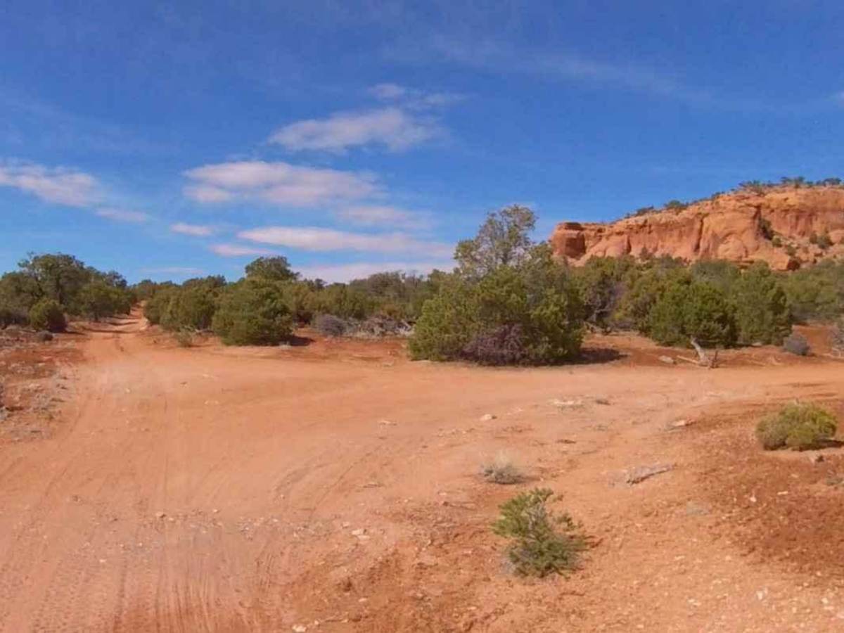
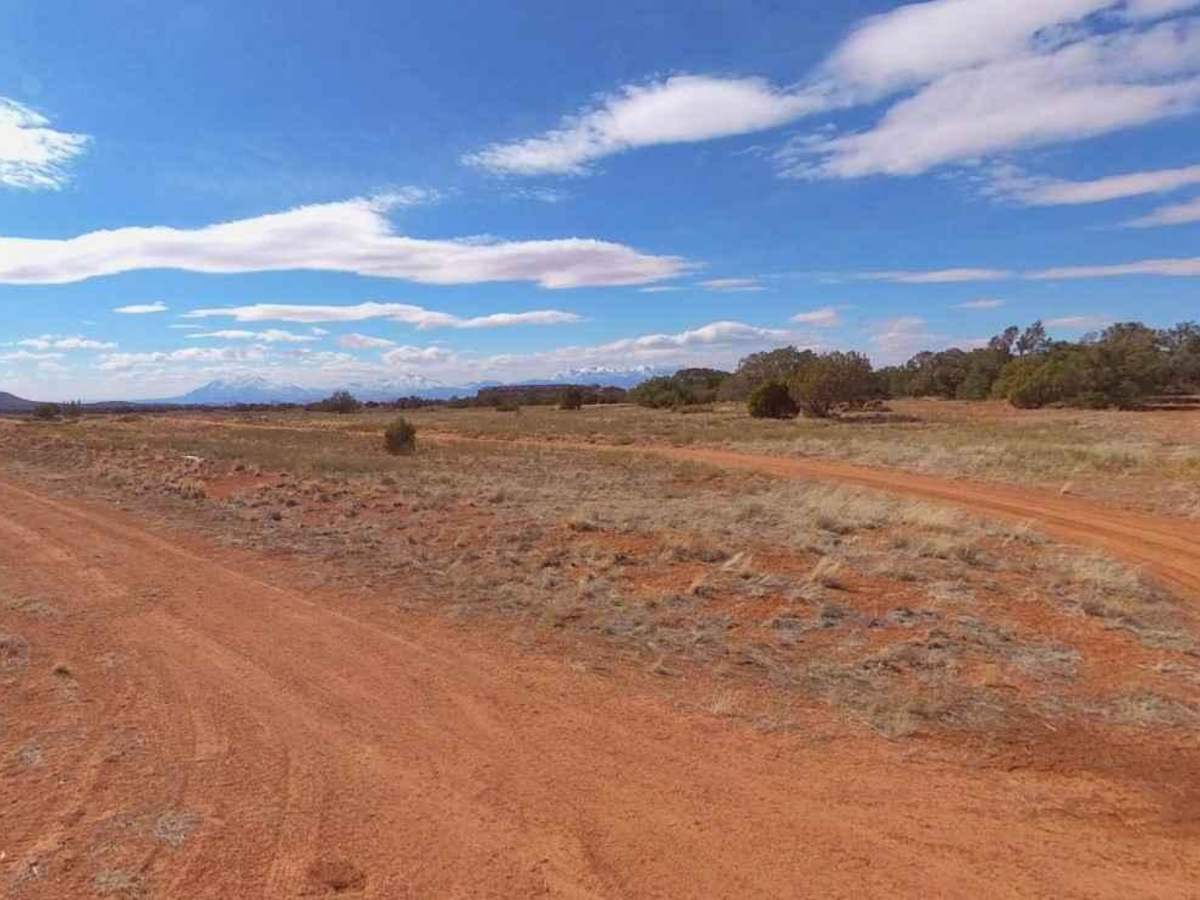
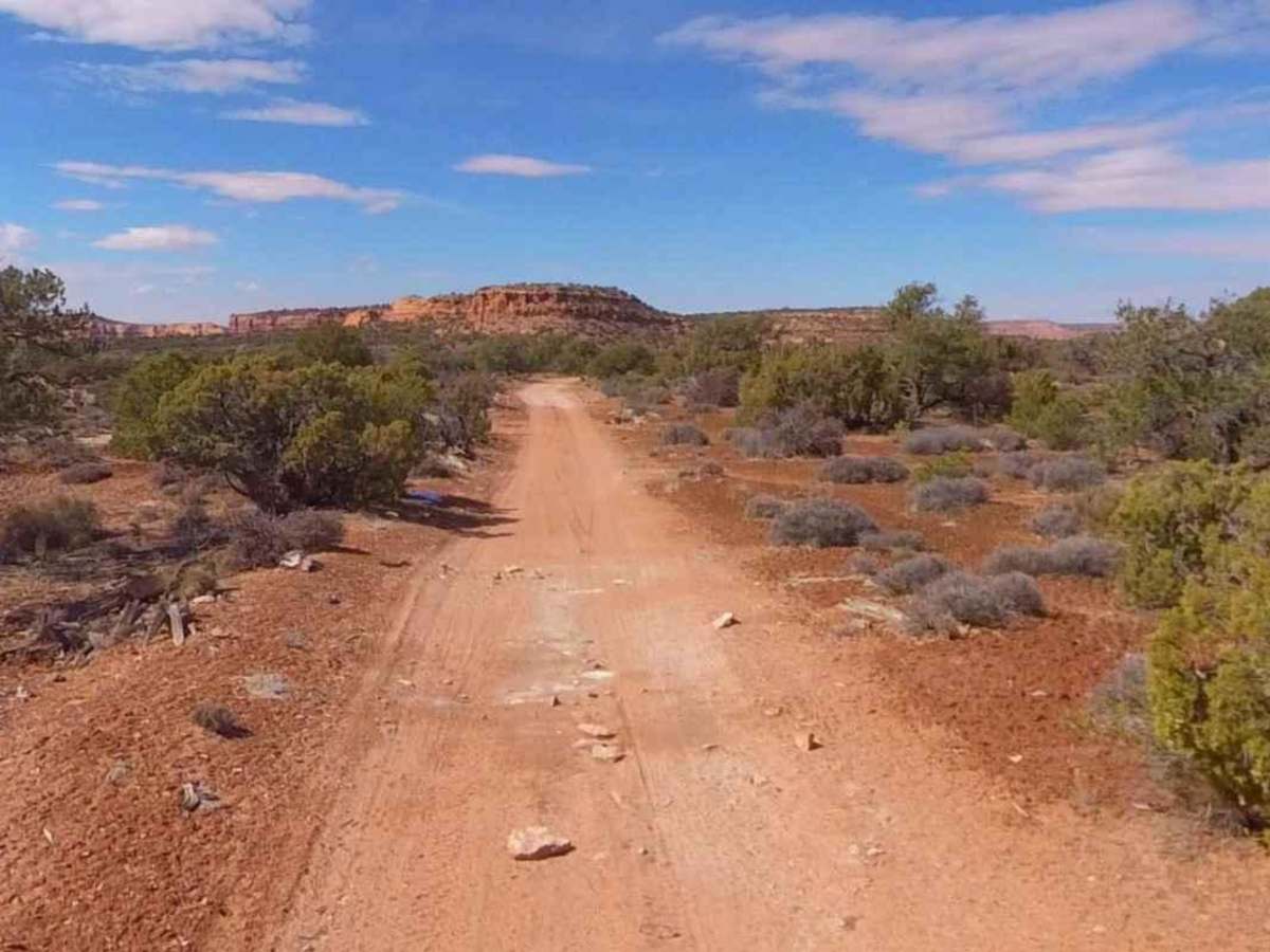
Happy Canyon-BLM16250 is a 4.8-mile point-to-point trail rated 3 of 10 located in Garfield County. The trail runs along the western section of "The Big Ridge" with multiple overlooks towards Happy Canyon and ends at the Buckacre Point Overlook. The trail is mostly hard-pack dirt and sand. The trail intersects the Two Pipe Springs Trail, which can be used to create a loop on the plateau. The trail has a rather steep climb/descent on the western end, depending upon the direction of travel. This is a very remote plateau which is popular with dispersed campers who don't want to see anybody for weeks on end. The trail west of the intersection near Dripping Spring was closed, so travel down The Big Ridge to Buckhorn Point is restricted to non-motorized travel. Be advised that the map shows a short route up the Simplot Dugway. This route is only accessible by UTV/ATVs 50" or less due to weather-related trail damage. Travelers may get cell service on the very western end of the plateau, but it should not be expected. Visitors to this remote area are rare; plan accordingly. The nearest services are located in Hanksville.
Difficulty
Trail consisting of loose rocks, dirt, and sand with some slickrock surfaces, mud holes possible, no steps higher than 12". 4WD may be required, aggressive tires a plus.