Trail Overview
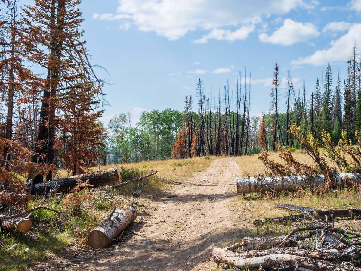
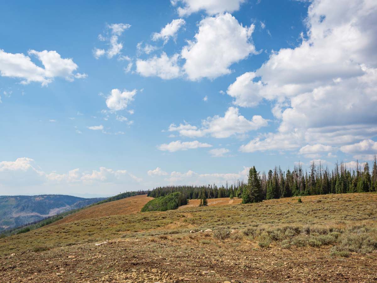
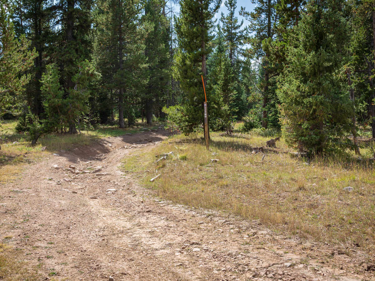
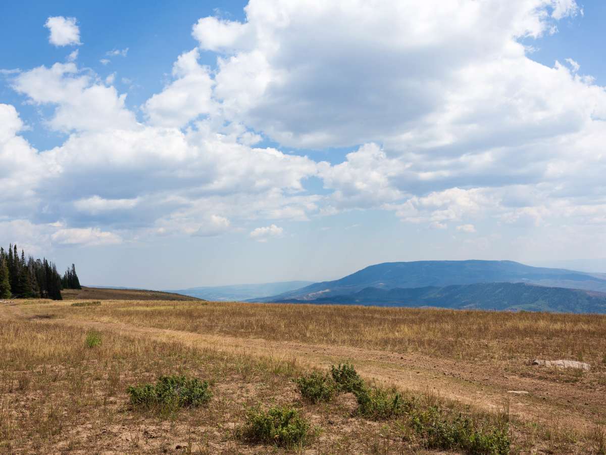
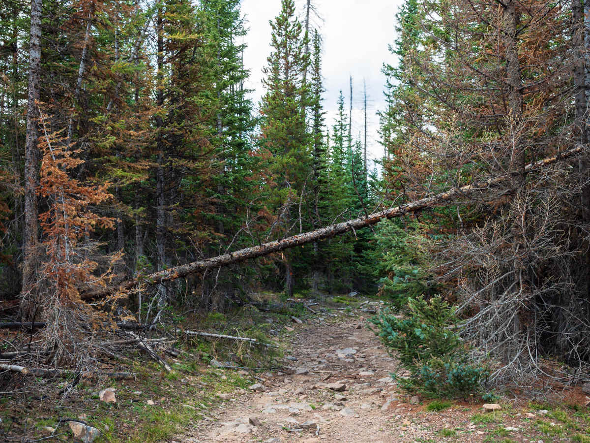
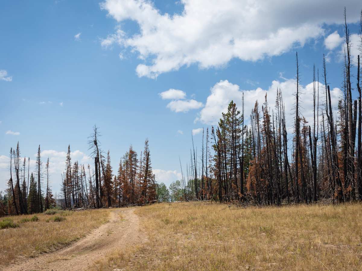
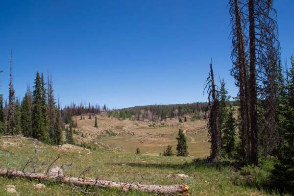
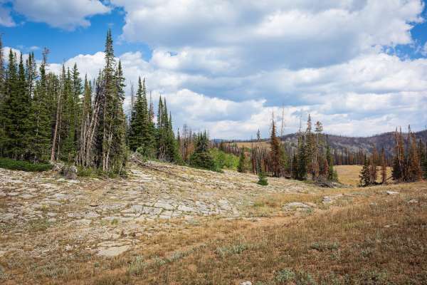
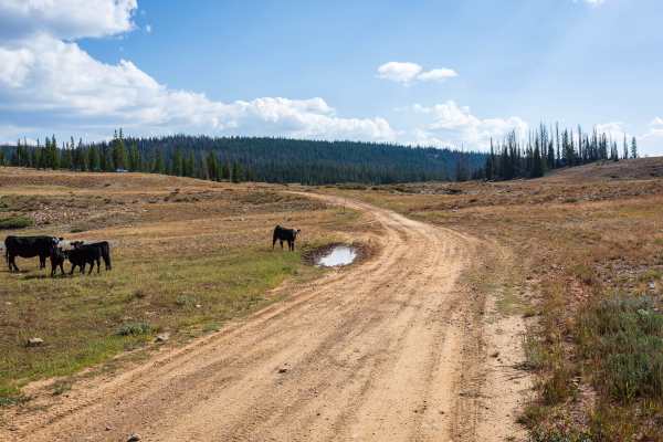
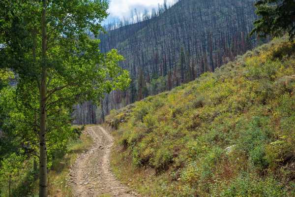
Forest Boundary (FS 70528) is a high-country trail that follows a ridgeline with spectacular views across valleys and distant mountains. Drivers pass through open meadows with sweeping vistas, dense pine stands, colorful aspen groves, and stretches of burn scar where charred timber stands among bright regrowth. The ridge-top setting gives this road a uniquely scenic character, making it as rewarding for its views as for the drive itself. The road itself is narrow and rocky, with embedded stones and scattered loose rock. Ruts in places are deeper than 12 inches, which can tilt vehicles off-camber. Fallen logs are also common, particularly in burn scar areas, and drivers should expect to navigate around timber or stop for clearance. The surface is mostly dirt with consistent unevenness, keeping the drive engaging throughout. On the western side of the trail, a few dispersed campsites are tucked back into the pines, offering privacy along with magnificent views over the ridge. These spots make ideal places to stop for the night or simply take in the scenery before continuing across the ridge line.
Difficulty
Obstacles include ruts deeper than 12 inches, along with both embedded and loose rocks up to 6–8 inches. The narrow width and mild ridge exposure add challenge, and fallen logs are common. These features require attentive driving, but the trail remains accessible to most high-clearance, highway-legal 4WD vehicles.
History
Forest Boundary passes through sections burned in the 2024 Yellow Lake Fire, which left behind standing charred timber and scattered downed logs along the ridgeline. These scars highlight the recent wildfire history of the area while showcasing the resilience of the forest, with aspens, grasses, and meadows now returning among the burned pines.