Trail Overview
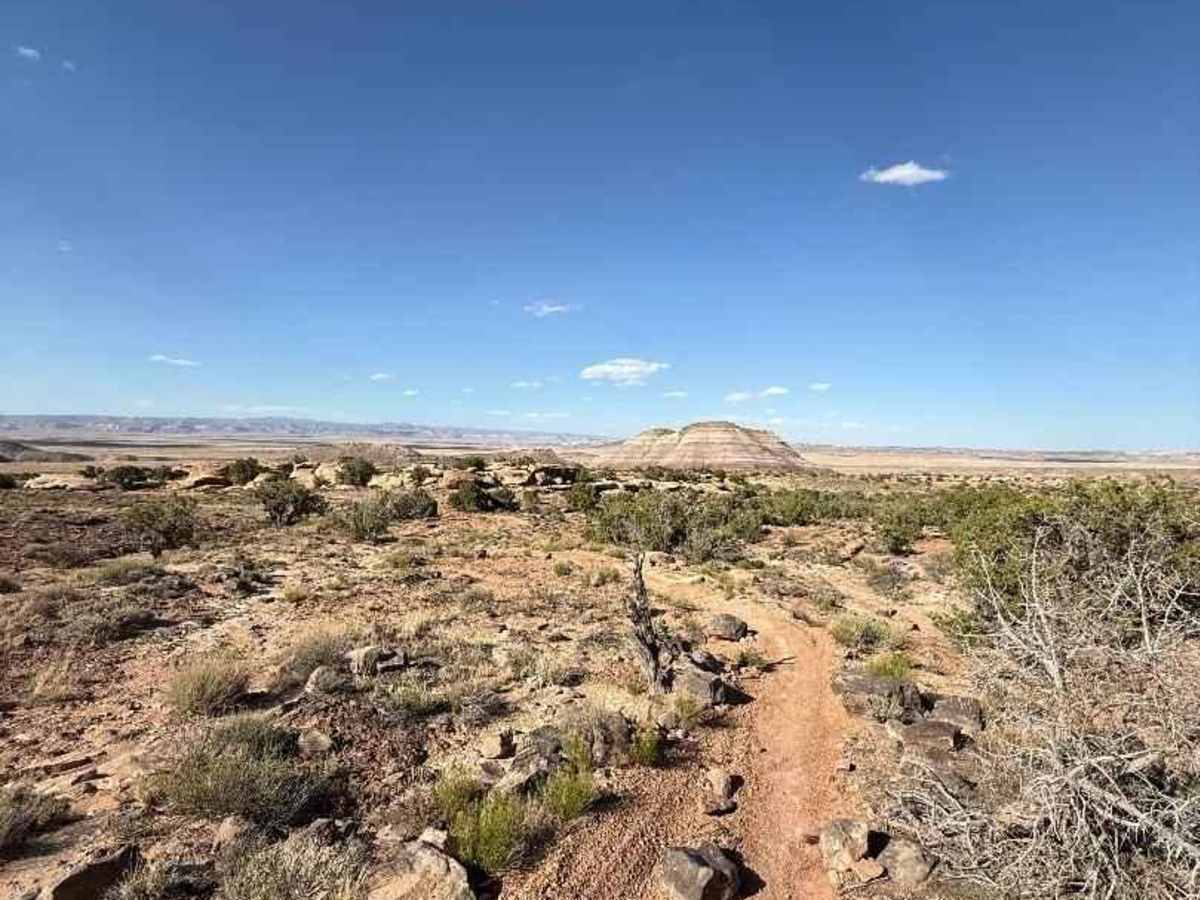
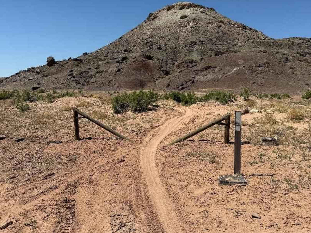
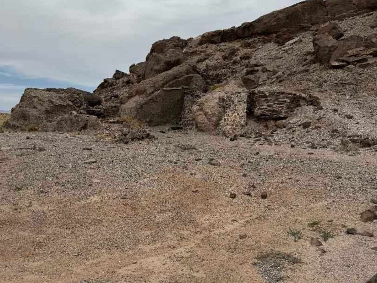
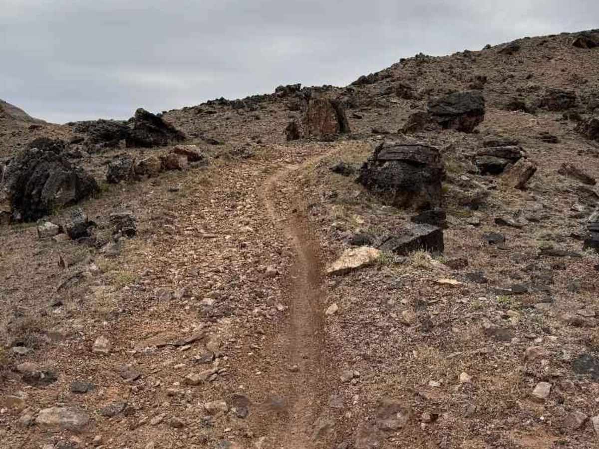
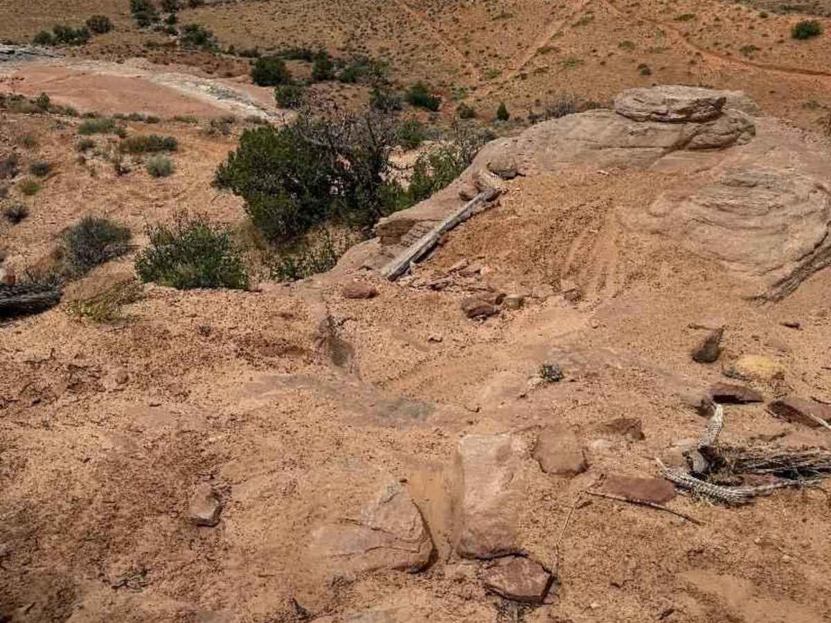
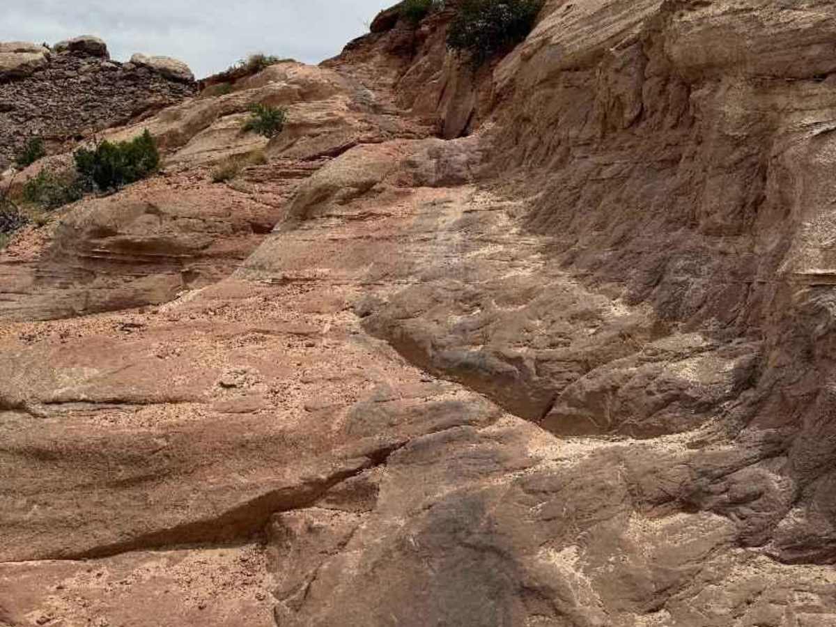
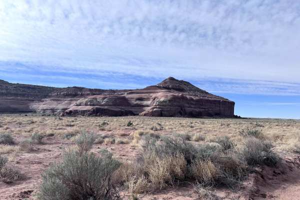
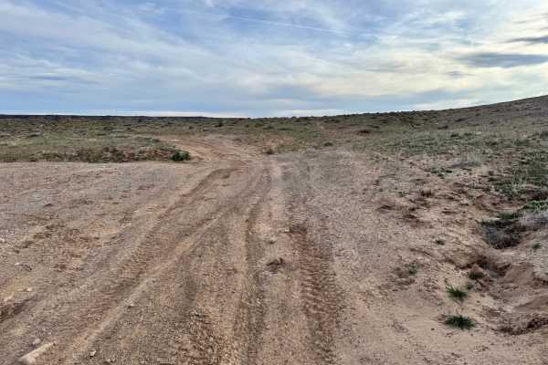
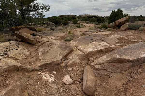
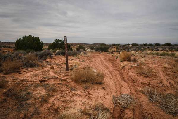
The Enduro Loop is a 33.5-mile dirt bike trail nestled in the White Wash/Moab region for riders with intermediate to advanced skills. This loop is known for its diverse terrain, featuring a mix of single track, whoops, sandy stretches, and slick rock, all connected by well-maintained dirt roads. The trail is typically well-marked, allowing riders to navigate confidently. There are several spurs and bailouts throughout the loop for those looking for a different challenge. The trail runs partly parallel to Blue Hills Road (CR 138), providing convenient access back to either Moab or White Wash. While the loop can be ridden in both directions, riding clockwise is recommended to help minimize erosion from wheel spin on the uphill sections. Riders are encouraged to tackle the whoop sections and avoid creating new trails to preserve the natural landscape. The eastern section can begin off Blue Hills Road (CR 138) and Levi Wells Road (CR 372), 7.5 miles from Hwy 191, and the western section of the loop can begin off Ruby Ranch Road (CR 147), approximately 7.4 miles from Highway 70, on the left-hand side. From Ruby Ranch Road, you start on a jeep trail and pass by the remnants of small homes abandoned by uranium prospectors, adding some historical context to your ride. The loop begins at a dirt bike pinch point and features moon-like terrain with striking red, green, and grey dirt. The initial part of the loop is fast and flowy, with dips across ravines, rocky hill climbs, and downhill switchbacks. After about 10 miles, you'll reach Levi Well Road (CR 372). From there, head east for about 375 yards to rejoin the trail on the right and ascend into the hills, where you'll encounter the challenging "Big Drop" section--a steep downhill rocky descent that rewards riders with breathtaking views. If you want an alternative route, you can exit before reaching the Big Drop, leading to Dubinky Well Road (CR 137), which connects to Blue Hills Road (CR 138). After navigating the Big Drop, riders will enjoy a fast and flowy wash for about 4 miles, eventually returning to Levi Well Road (CR 372). Continuing west for approximately 2 miles, you'll pass the entrance to the Cow Freckles trail, and just 350 yards beyond, Dripping Spring offers a shaded spot perfect for a lunch break. As you proceed west, the Enduro Loop will appear on the left through a pinch point, transitioning onto slick rock terrain. This section is well-marked with signs guiding riders to Ten Mile Point Road (CR 336). Travel west for 345 yards, where the next segment of The Enduro Loop will be on your right. This 6-mile stretch presents a stunning mix of red dirt and captivating rock formations. After 2.3 miles, you'll come to Red Wash Road (CR 335). Head north for 150 yards, and the next pinch point will be on your right-hand side. Upon reaching the White Wash Sand Dunes section, you'll see a sign that reads "White Wash Open Area." From there, continue straight to the wash, then make a right turn and head east up the wash for 2.5 miles to access the subsequent segment of The Enduro Loop on the left. The entrance to this section may be somewhat concealed, so it's important to keep an eye on your mileage. From this point, riders will climb north toward Ruby Ranch Road (CR 147), crossing over a flat area popular for camping before crossing Ruby Ranch Road through a pinch point to complete the final miles of the loop. The Enduro Loop offers an exciting adventure for dirt bike enthusiasts, blending breathtaking scenery with a challenging ride. By following the guidelines and respecting the trail, riders can enjoy this remarkable experience while preserving the natural beauty of the area for future generations.
History
Sponsored by the Green River Sheriff's Posse in the 1970s and 1980s, the Enduro Loop, which is part of the Dubinky Trail System, was established during a time when riders participated in BLM-permitted races known as the Dubinky Still Run, which traversed the route from Green River to Dubinky Well. This expansive network of trails is maintained by Ride with Respect, a 501(c)(3) nonprofit based in Moab, Utah. Ride with Respect aims to conserve shared-use trails and their surroundings through fieldwork, education, and advocacy for responsible recreation opportunities. For more information or to learn how to get involved, please contact them at http://www.ridewithrespect.org.