Trail Overview
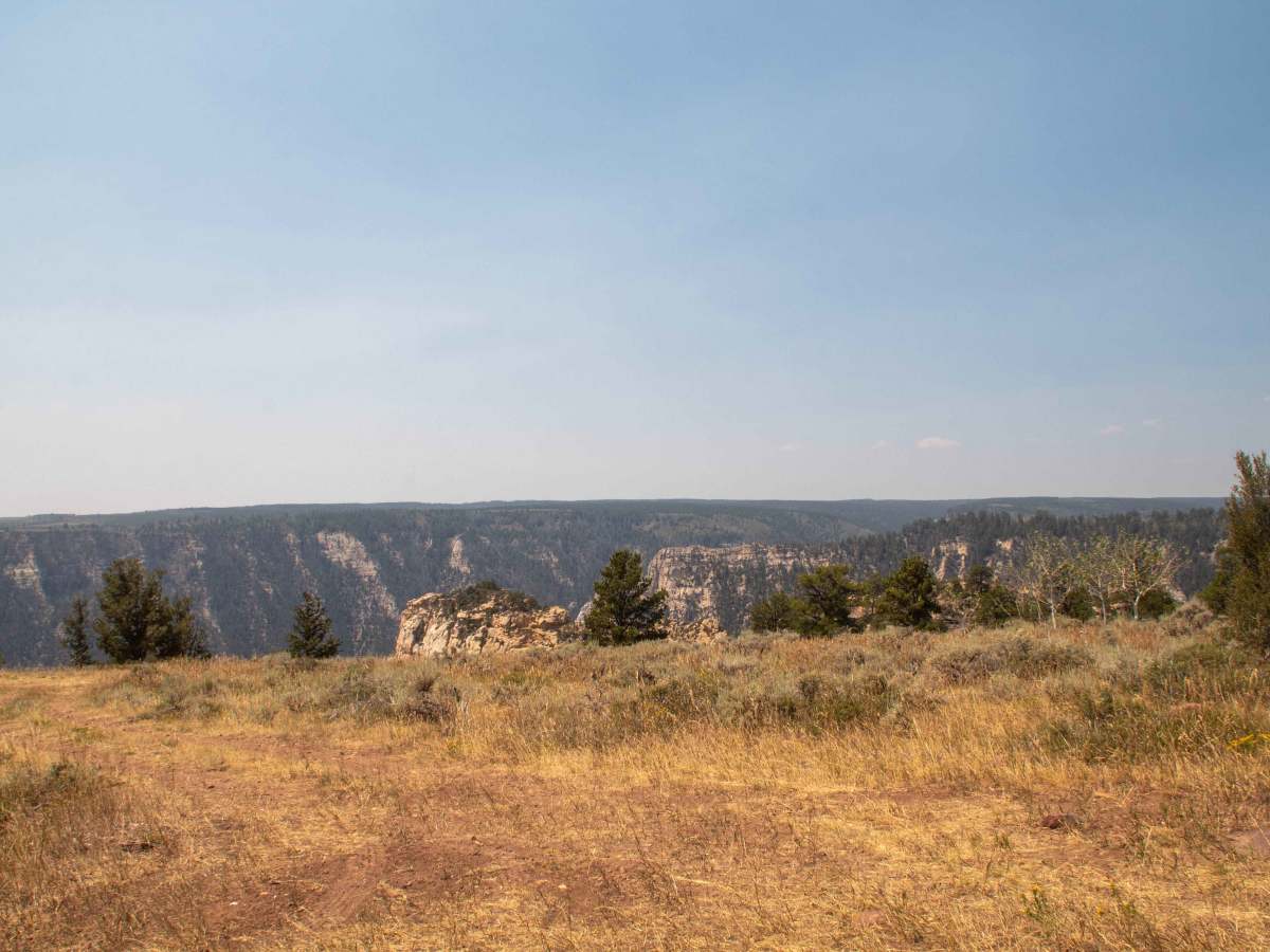
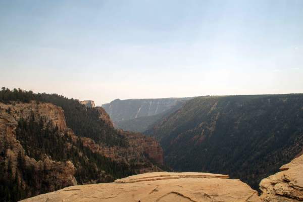
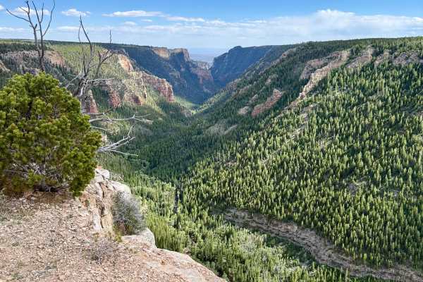
A moderate cliffside loop for capable 4x4s and side‑by‑sides, East Ashley‑Grasshopper (FS 10238) threads along rugged terrain above Ashley Gorge, linking back to Taylor Mountain (FS 10044) with dramatic overlooks and technical dirt sections that reward attentive drivers.
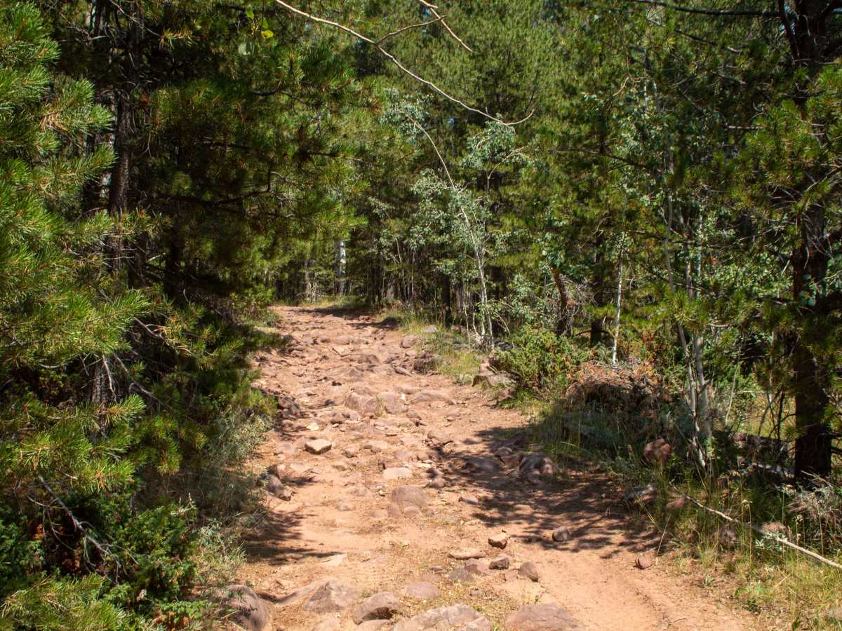
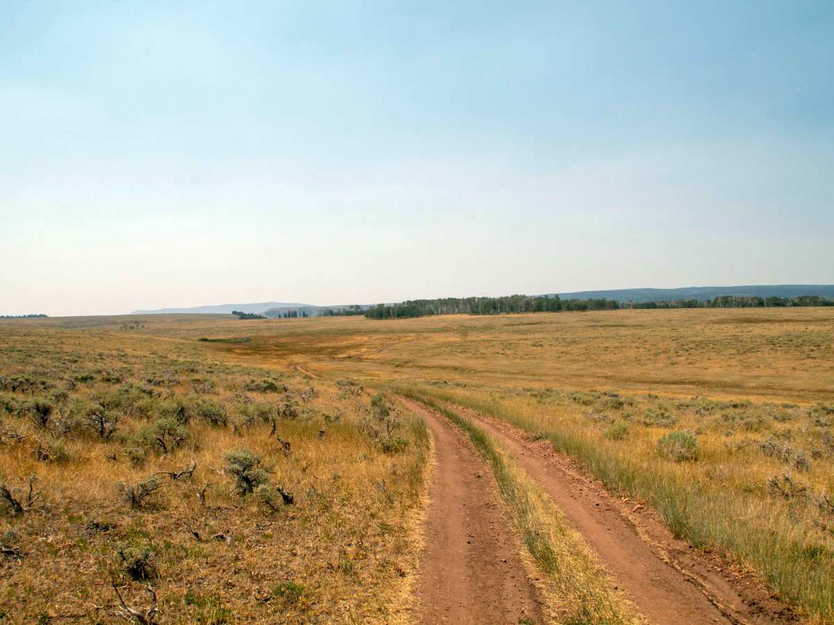
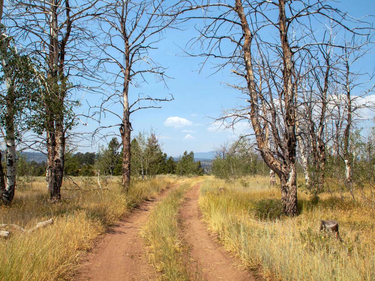
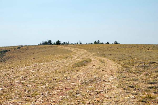
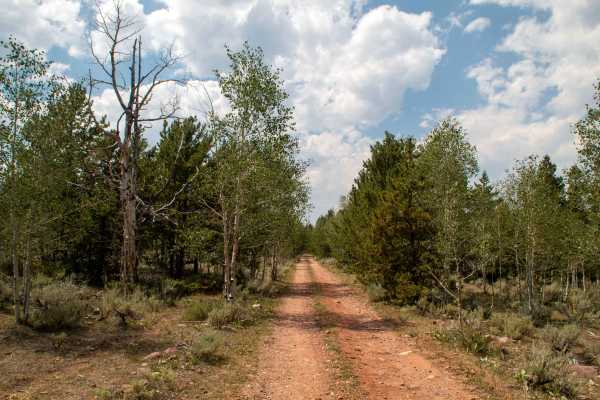
FS 10238 is best approached with a full‑size 4x4 or SxS equipped for uneven dirt, mixed rocks, sand and occasional erosion. The route climbs and dips along the cliffs above the gorge, where narrow tread, loose rocks and short steep grades are the norm rather than the exception, and off‑camber sections keep drivers honest. This isn’t an extreme rock‑crawl, but it’s more demanding than a typical graded forest road; expect to down‑shift and pick your line as you negotiate washboard, rutted sections and occasional washouts, especially after wet weather. Seasonal runoff, mud and early‑season snow can make parts of the route slick or intermittently impassable; verify current conditions and seasonal closures with the Vernal Ranger District or the latest Motor Vehicle Use Map before you go. Wildlife is common in this remote corner of Ashley National Forest, and the combination of cliffside exposure and limited sight lines means solid recovery gear, good communication devices and experienced spotters will enhance both safety and enjoyment on FS 10238.

 Offroad