Dry Ridge Road - FS 10225

Total Miles12.7
Technical Rating
4Moderate
Best TimeSummer, Fall, Spring, Winter
Trail TypeFull-Width Road
Accessible By
Open Trail Map

Trail Overview

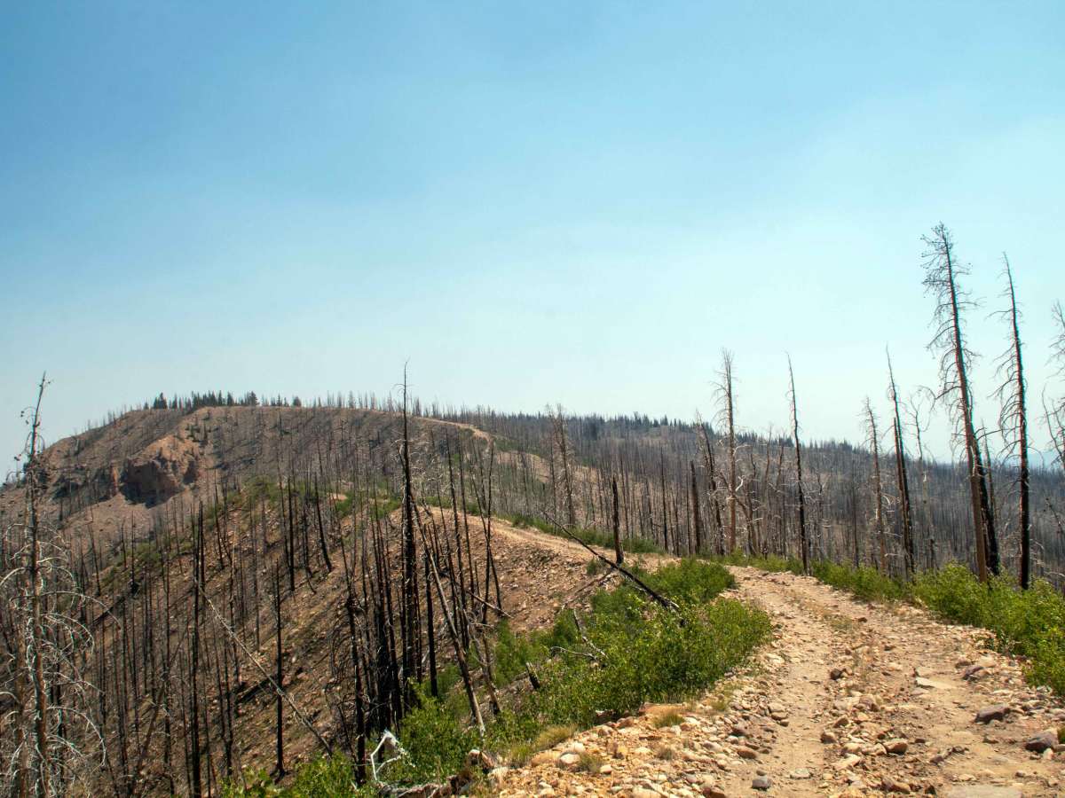
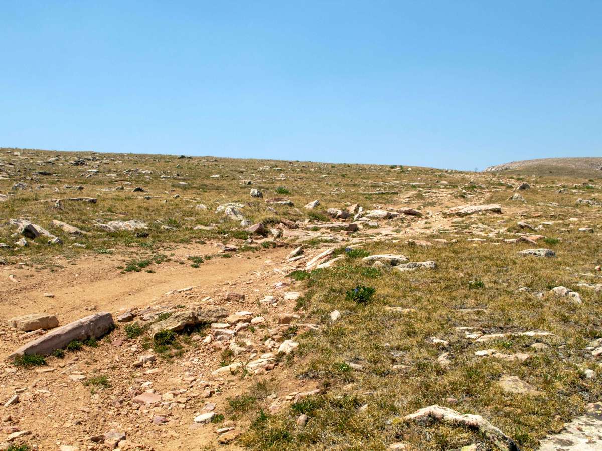
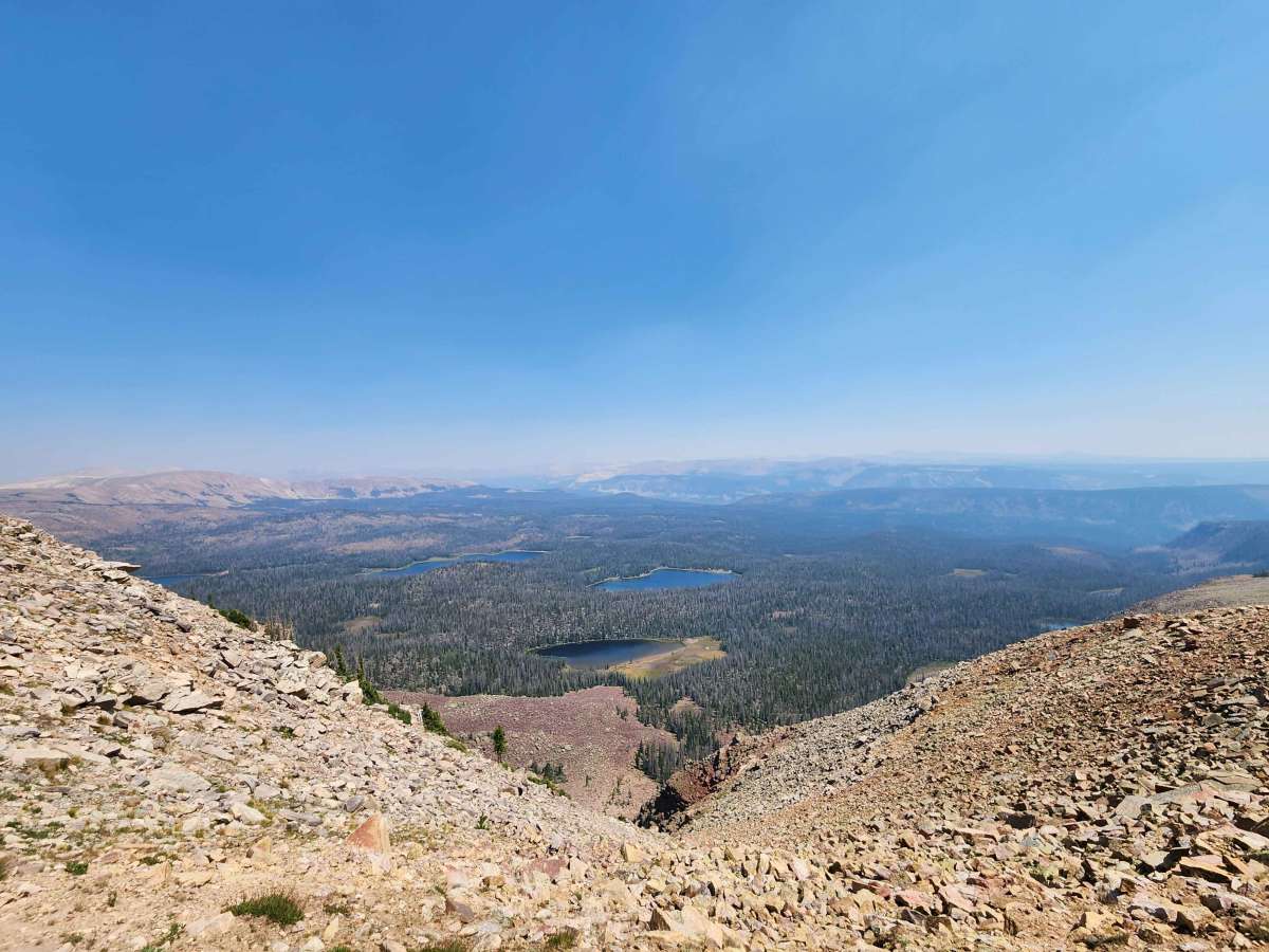
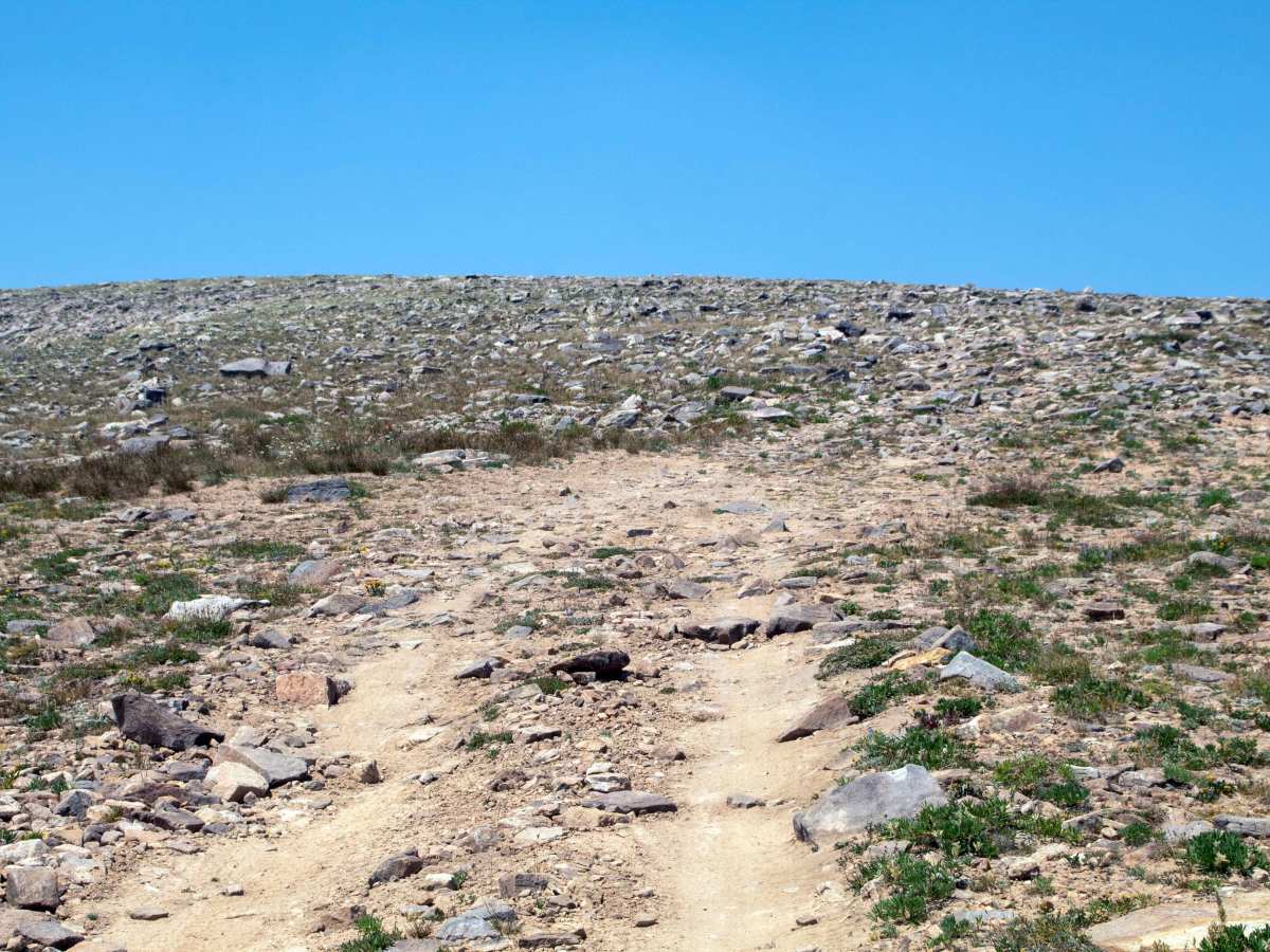
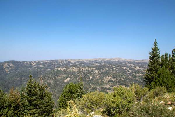
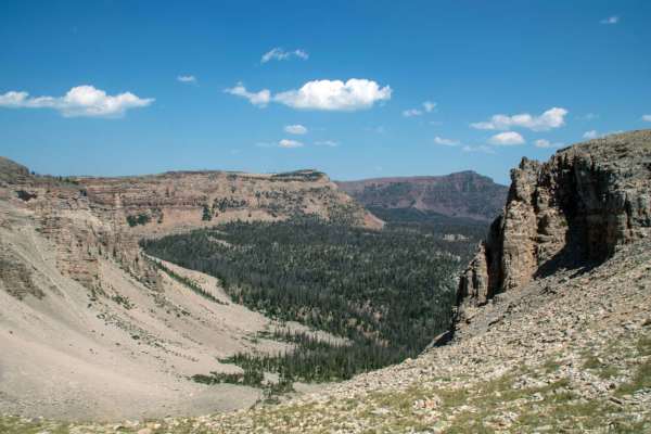
This trail is a rough and rocky trail that takes you from Mountain Sheep Pass up into the High Uintas, reaching a top elevation of 11,400 feet at the end of the trail. This trail is rocky and rough throughout, with a few larger rock obstacles scattered along the trail, along with a section of narrow trail where the terrain drops away steeply on either side as it follows the top of the ridge. However, this trail is well worth the effort to reach the summit, as it takes you to the highest point you can drive to in the Uinta Mountains, which provides stunning views out into the High Uinta Wilderness. This trail is open to all motorized vehicles except for the sections where it crosses onto Indian Reservation land, as ATV, SxS, and Dirt bike use is prohibited on tribal lands. Due to this, an alternative is to use Bear Wallow to access this trail with OHVs, as the road through the reservation land is smoother, and it has better parking right after crossing into Ashley National Forest. This trail is seasonally closed from October 1st through June 31st starting about 1.3 miles north of the intersection with Bear Wallow, with the rest of the trail having no seasonal closure but may be impassable due to deep snow during the winter and spring.

Photos of Dry Ridge Road - FS 10225

Difficulty

The trail is rocky throughout, with a few larger rock obstacles to traverse.

Technical Rating

4

Status Reports

Add Status Report
Joe Kington
Jul 05, 2025
2023 Ford Bronco
Open
Normal
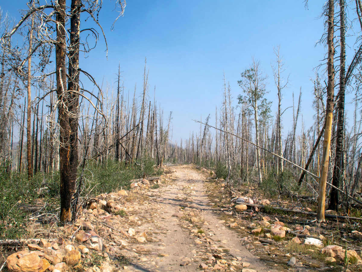
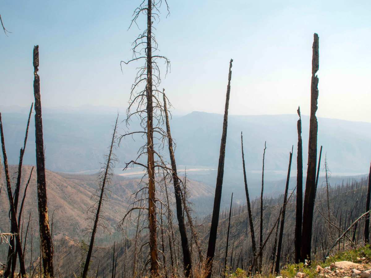
Great trail with amazing views. It's Rocky, but not hard. There were tons of wildflowers springing up in the burned area. The views from the weather station at the top are hard to beat!
Chad E
Jun 23, 2024
Open
Rough/Deteriorated
ALOT OF FALLEN TREES IN THE AREA, BRING A CHAINSAW, FAIRLY BURNED OUT AREA, TREES FALLEN EVERYWHERE
David W
May 01, 2024
Obstructed
Deep Snow
Heavy snow obscures the trail around 9800 ft.

Dry Ridge Road - FS 10225 Trail can be accessed by the following ride types:

  • Single Track
  • 50 Inch
  • 60 Inch
  • High Clearance
  • Full Width

Dry Ridge Road - FS 10225 Map

The onX Offroad Difference

onX Offroad combines trail photos, descriptions, difficulty ratings, width restrictions, seasonality, and more in a user-friendly interface. Available on all devices, with offline access and full compatibility with CarPlay and Android Auto. Discover what you're missing today!

Open Trail Map