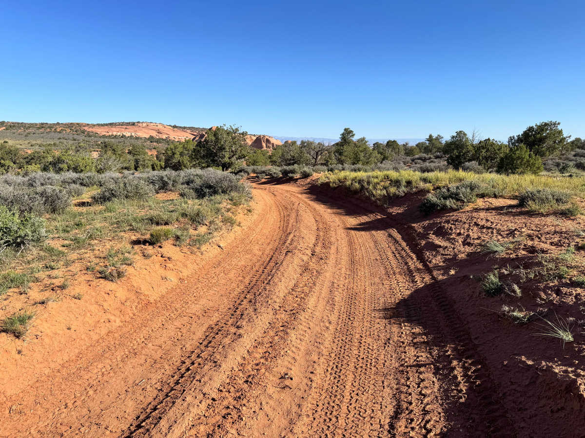
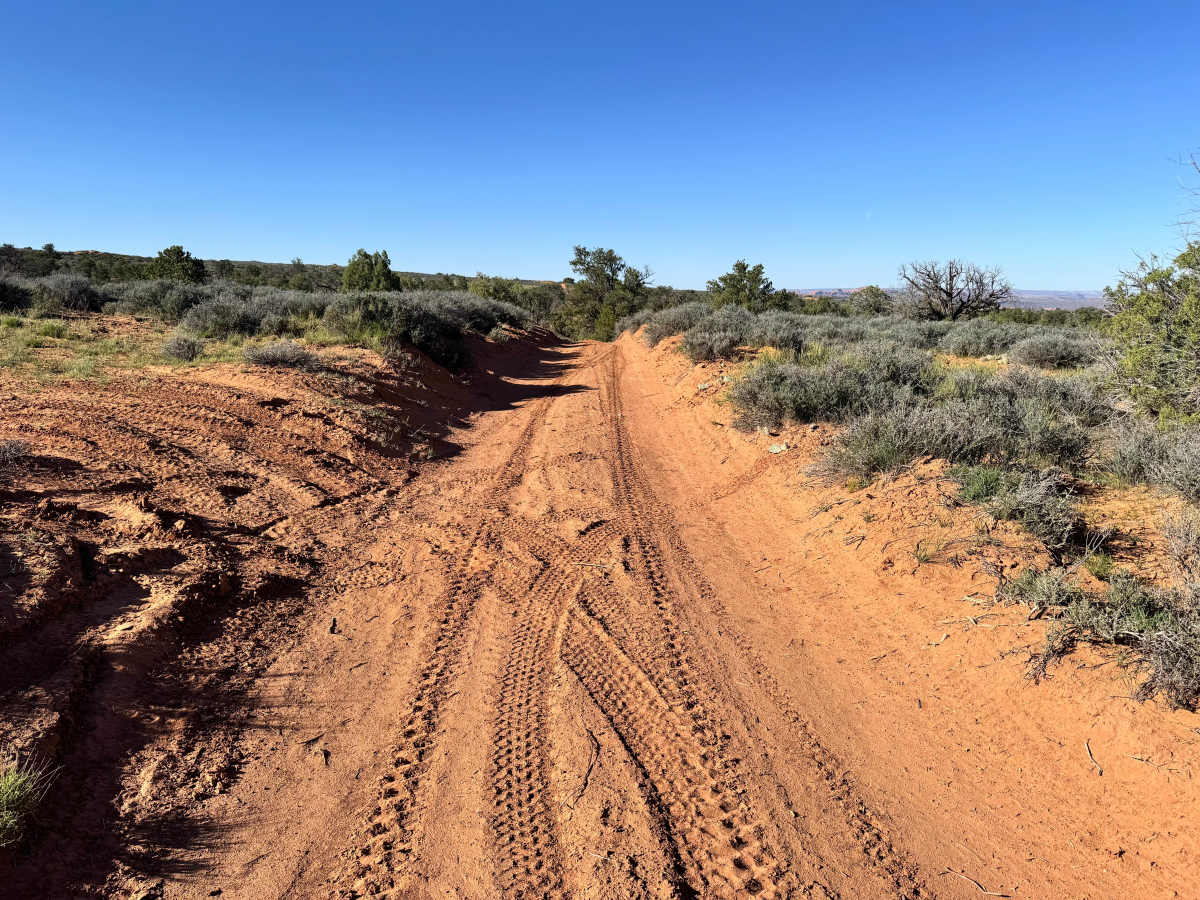
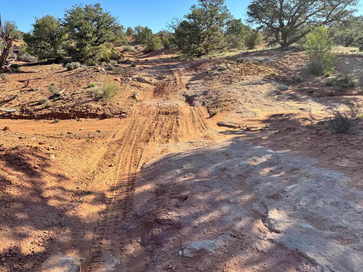
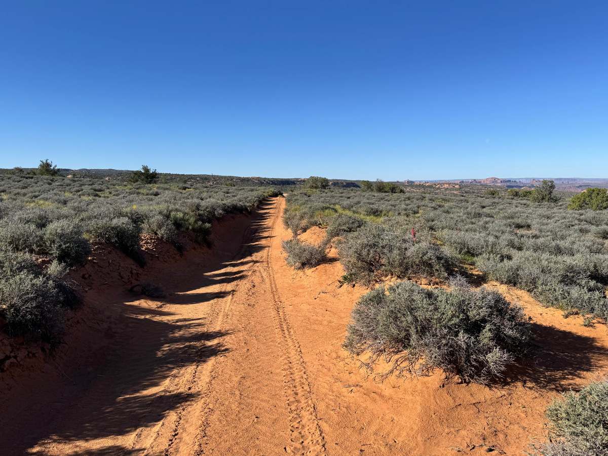
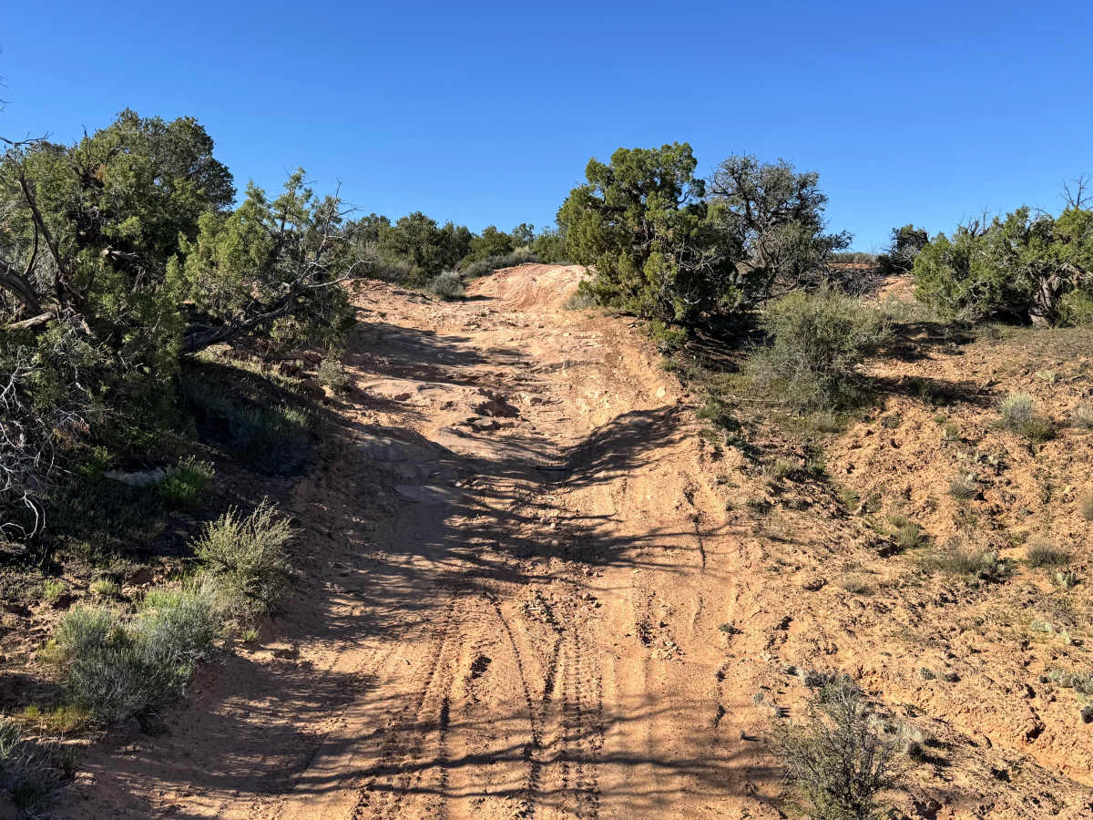
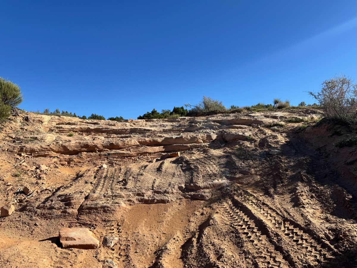
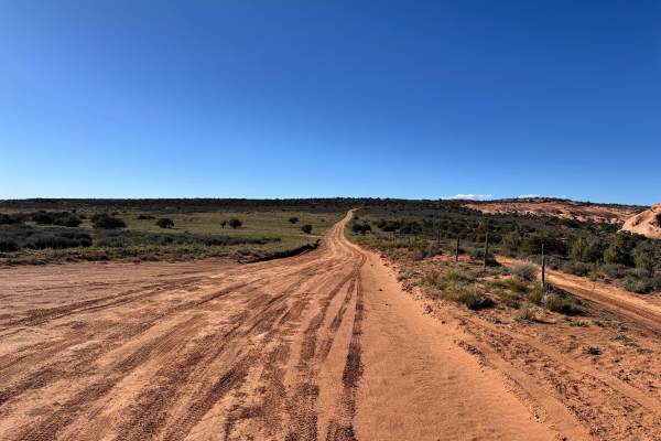
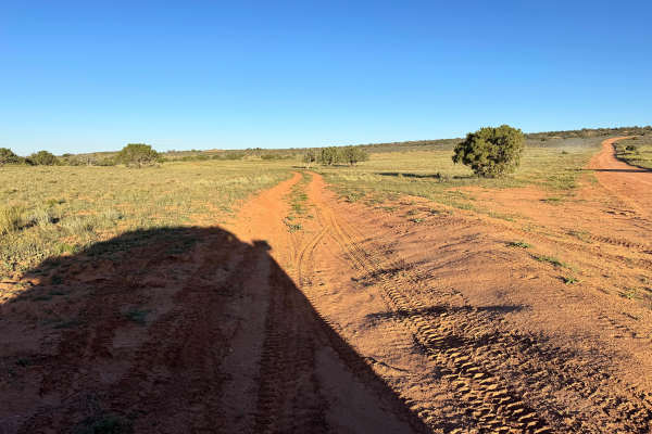
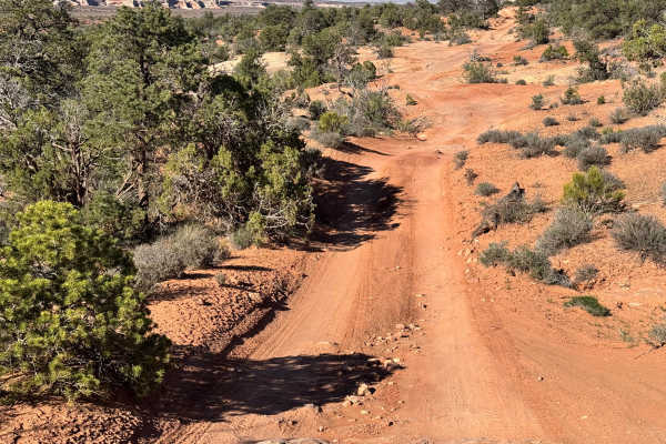
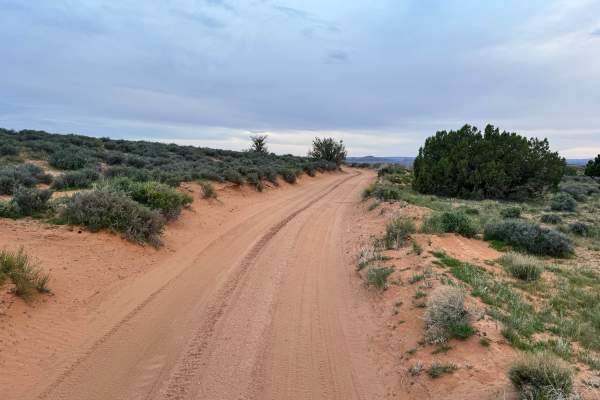
Trail Overview
This route delivers a more technical experience than its sandy surface first suggests. Although the trail has a sand base in many sections, it is heavily littered with rock and quickly turns into a rugged backcountry drive. The route drops down and travels briefly through a creek bed, where uneven terrain and loose stone can keep drivers alert before the main obstacles begin. Two distinct rock climbing sections define the trail. The first is a slab-style climb with smaller ledges up to roughly 12 inches tall that reward steady throttle and careful tire placement. The second is a true rock crawling area with stepped obstacles reaching up to 3 feet tall in places, making line choice, clearance, and low-range control much more important. This trail sits between Winter Camp Road and Dome Plateau, creating a challenging connector through scenic red rock country.
Difficulty
This is one of the more technical routes in the area, with a rocky creek bed, a slab climb with ledges up to 12 inches, and a true rock crawl section with steps reaching an overall height of 3 feet tall. The larger obstacles require careful line choice, good clearance, and confident 4lo driving. Recommended: High-clearance 4WD, low range, skid plates, sliders, 35-inch or larger tires preferred, and a locker helpful.