Trail Overview
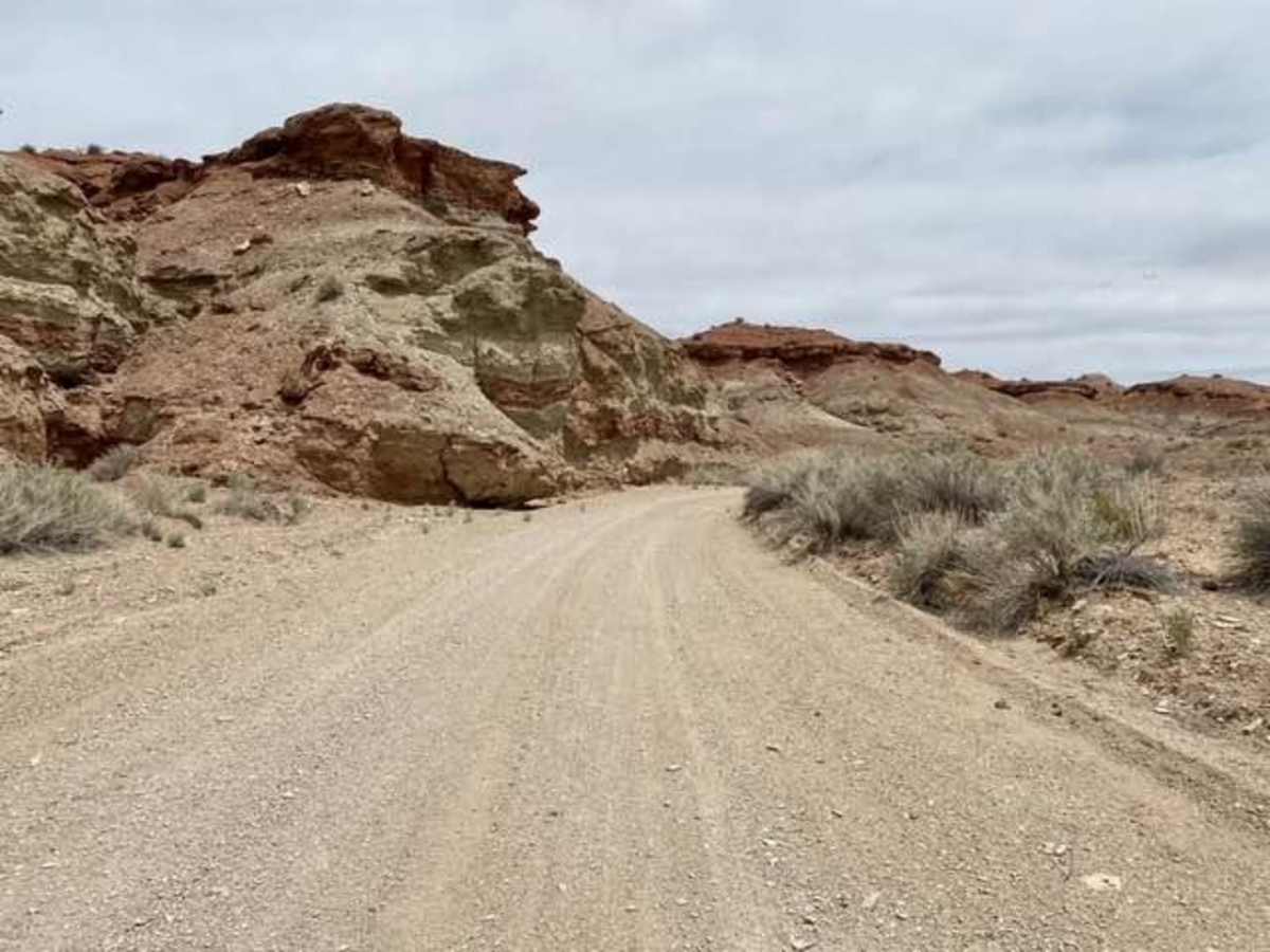
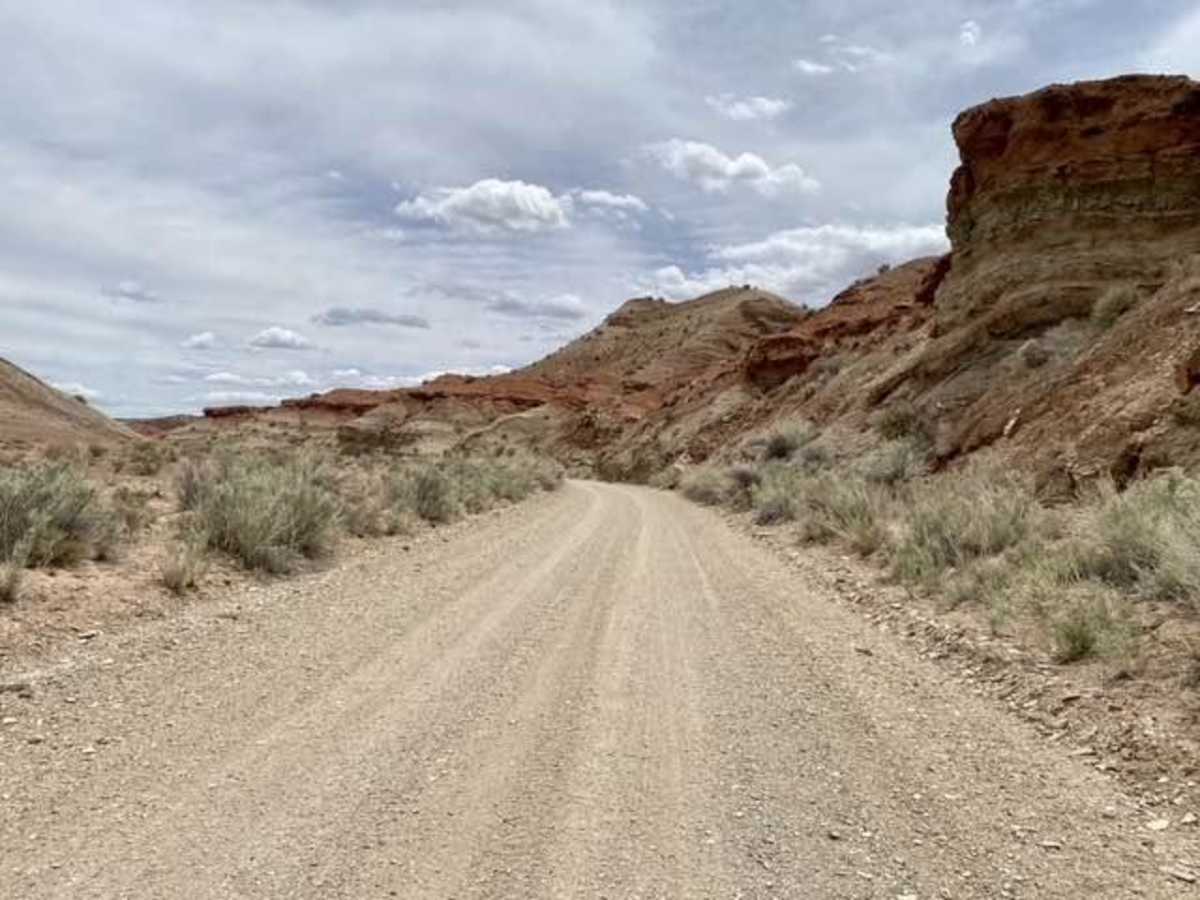
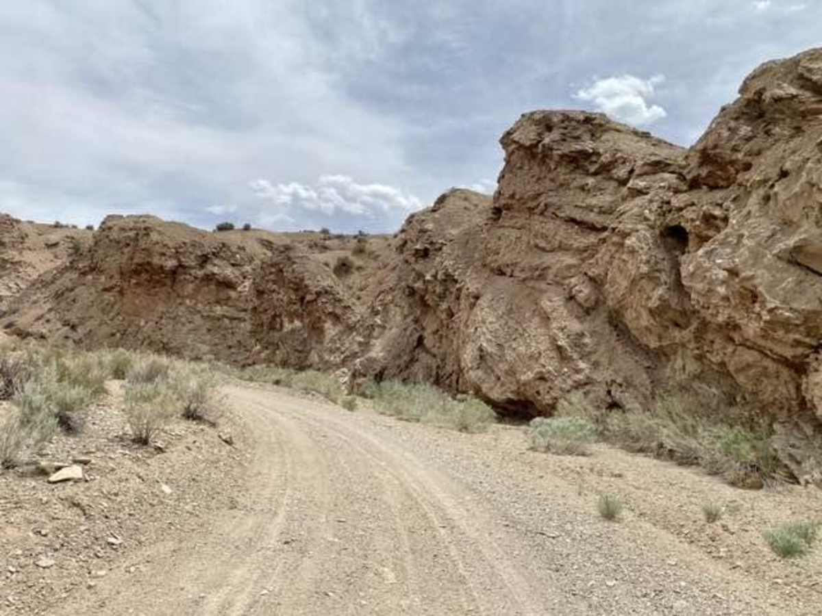
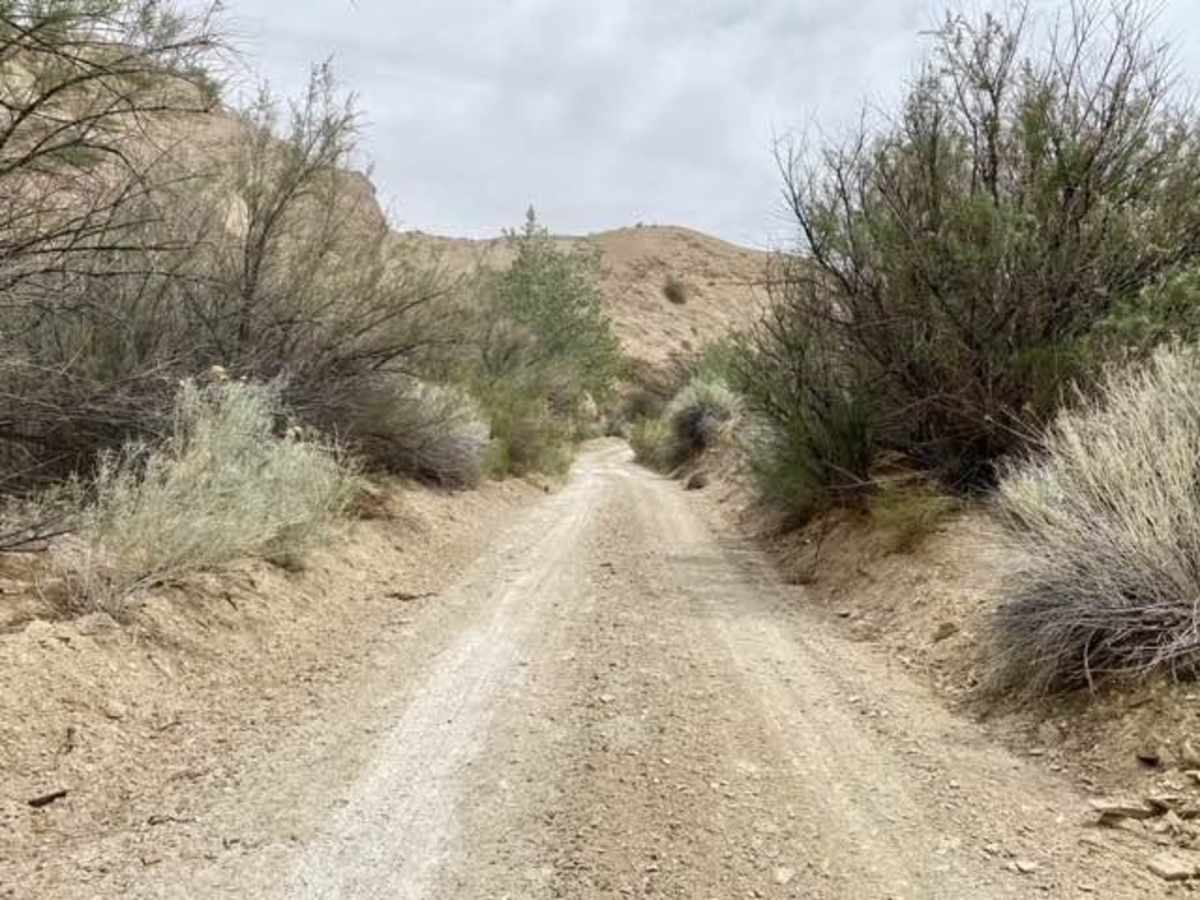
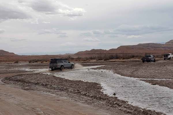
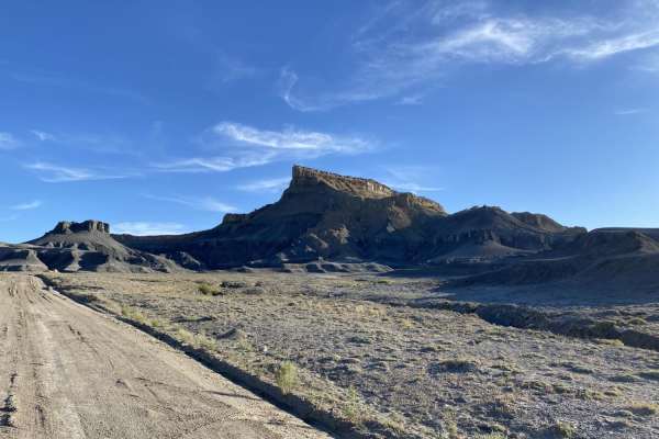
Devils Canyon Wilderness Trail is an easy, scenic 6.2-mile point-to-point route through one of the San Rafael Swell's most colorful and rugged canyons, making it ideal for beginners, families, and seasoned explorers seeking a visually stunning drive. Winding along the canyon floor, this trail features towering sandstone walls with vibrant hues of red, orange, and cream, climbing from an elevation of 5,594 feet up to 6,684 feet. High-clearance four-wheel-drive vehicles, stock SUVs, and SxSs can easily navigate the mostly dirt and sandy track under normal dry conditions. Because the trail runs directly along the canyon bottom, drivers must remain alert to weather conditions, as sudden rainstorms can quickly trigger flash floods and washouts.
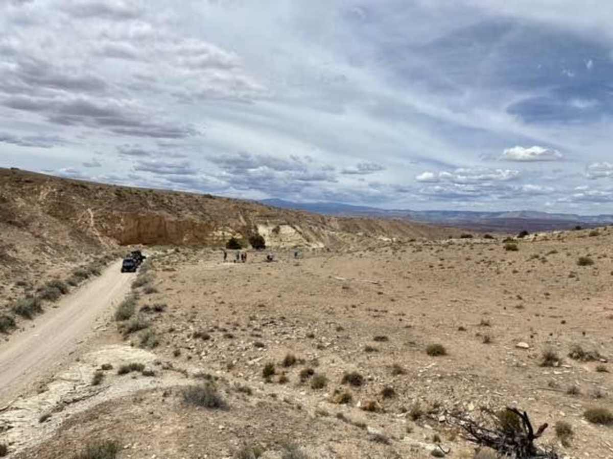
The route gains approximately 1,084 feet of elevation as it meanders past scenic desert viewpoints, including the notable landmark of Upper Kimball Seep. While the technical rating is low with primarily flat dirt surfaces, loose sand, and minor rocky sections, the remote nature of the Devils Canyon Wilderness requires visitors to pack plenty of water, recovery gear, and offline maps. Cellular service is virtually nonexistent in the deep canyon bends, and cell coverage should not be relied upon. Spring and fall offer the most comfortable temperatures for exploring, though summer trips are possible if morning temperatures are prioritized and the forecast is free of storms.
Access Description
This trail runs through the Devils Canyon Wilderness, managed by the Bureau of Land Management (BLM). Standard wilderness regulations apply; motorized vehicles must remain strictly on the designated trail corridor. There are no fees or permits required to drive the route, but drivers should check local weather forecasts and BLM road conditions prior to departure.

 Offroad