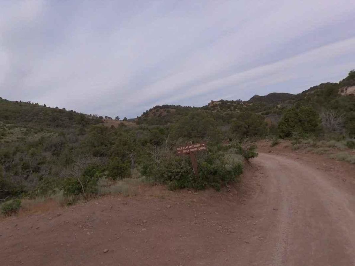
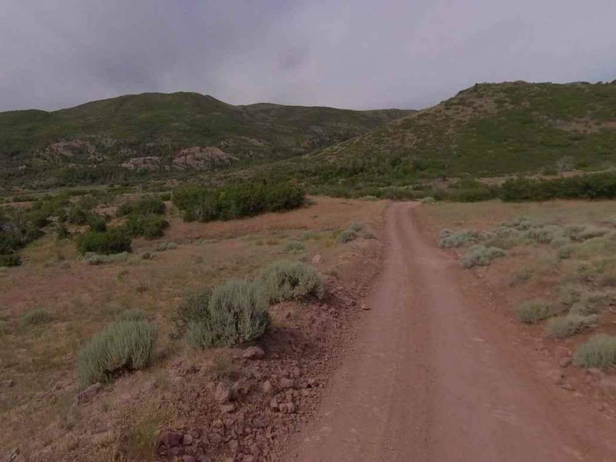
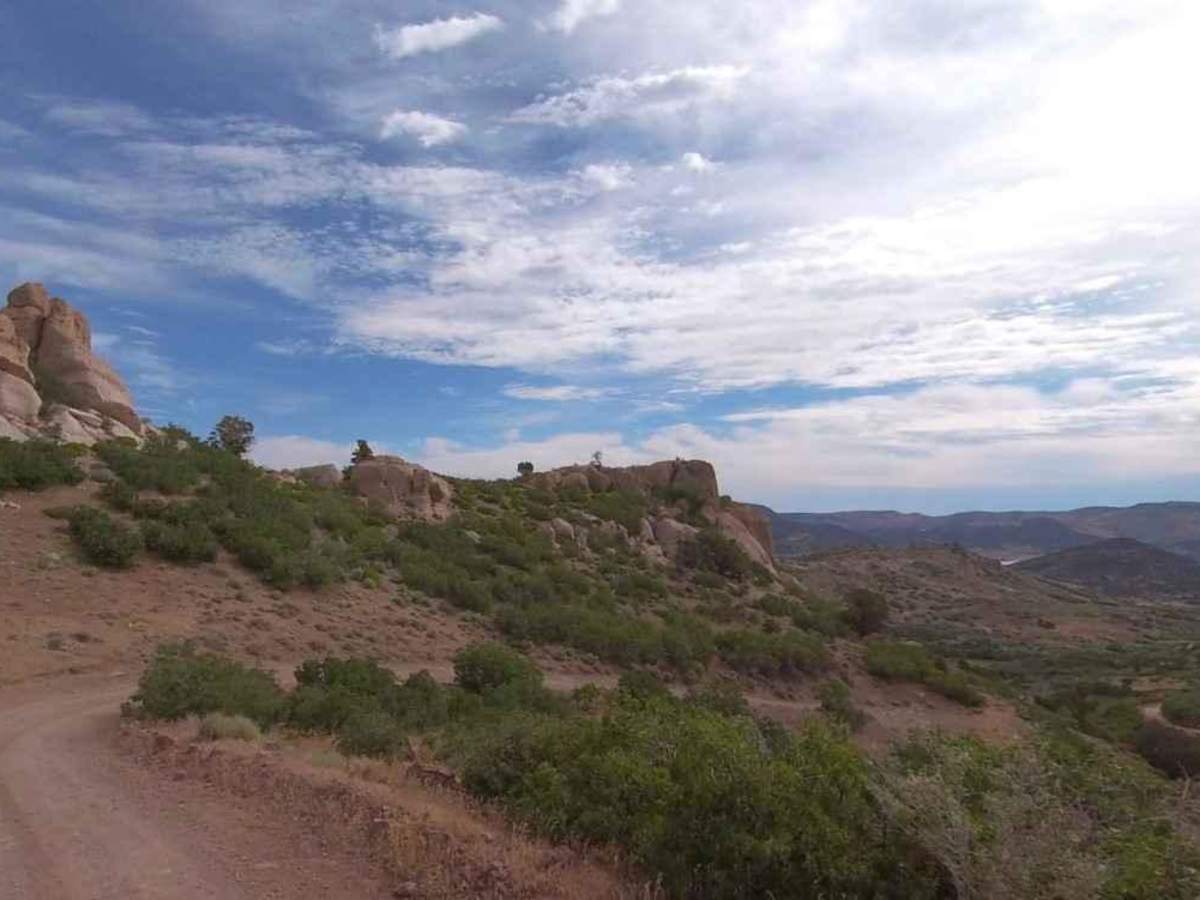
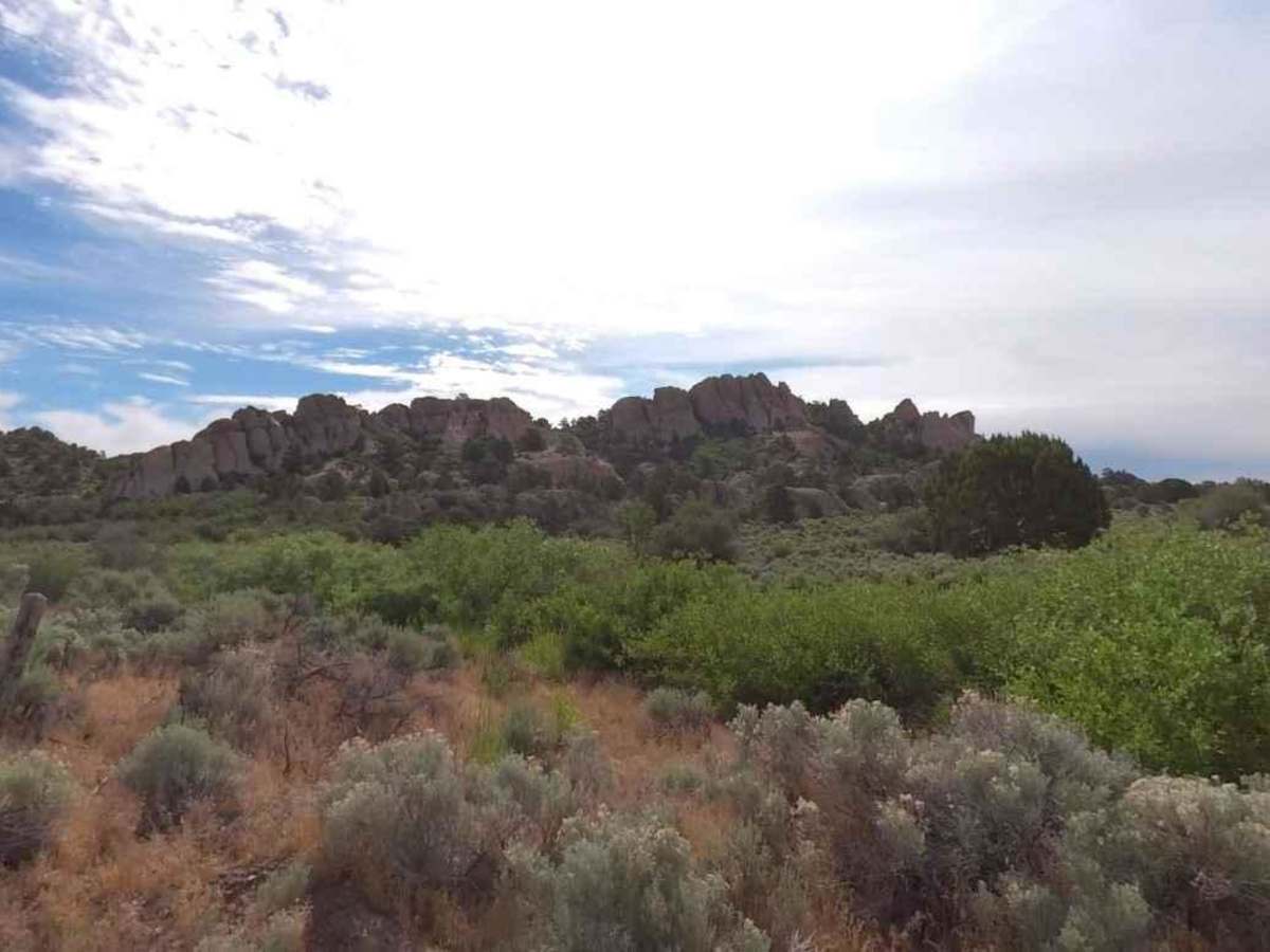
Trail Overview
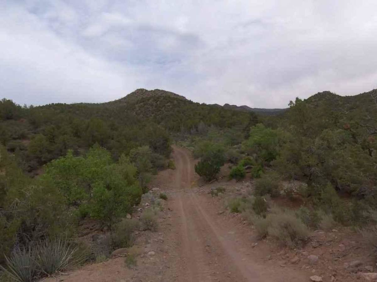
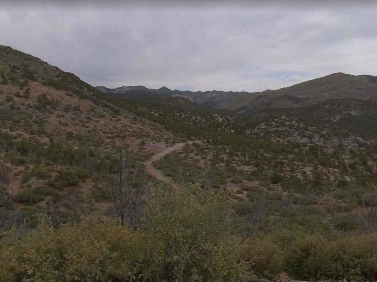
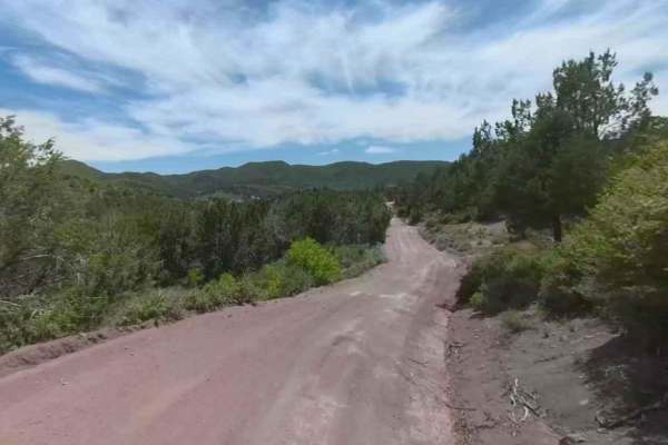
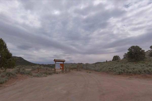
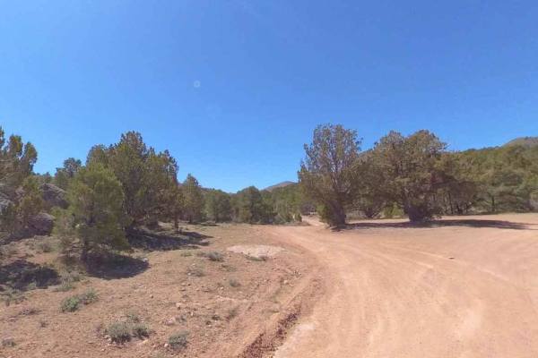
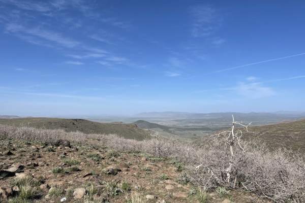
Colie Flat-FR30003 is a 9.5-mile trail rated 2 of 10 located in the Dixie National Forest in the Pine Valley Ranger District. The trailhead is typically at the Upper Enterprise Reservoir parking area and this trail is used as the primary access from the north through the National Forest and into the remote Bull Mountain area, connecting to the Goldstrike trail in the south. As the trail crosses the Dixie NF, it more or less follows the Rattlesnake Creek until it climbs up to Colie Flats. As the trail progresses past Colie Flats, it crosses the National Forest boundary and enters into three distinct wilderness areas. Cougar Canyon, Doc's Pass, and Slaughter Creek Wilderness areas are clustered along the Nevada state line, in the remote northwest corner of Washington County. The three units, which total over 31,600 acres, are contiguous with wildlands in Nevada and roadless areas of the Dixie National Forest in Utah, creating an extensive wilderness. Once across the NF boundary, "Stay-the-Trail" is critical to preserve the wilderness area. South of the Dixie National Forest boundary, the road is known as Cougar Pass Road-FR30003. Cougar Pass, located south of the NF boundary, is at 6,333 feet. Camping is allowed within the National Forest but is prohibited anywhere within the wilderness area. This part of Washington County is rugged and remote. Visitors should plan carefully and be prepared for backcountry travel conditions. This trail is not recommended during winter months as snow tends to accumulate above 5,000 feet.