Trail Overview
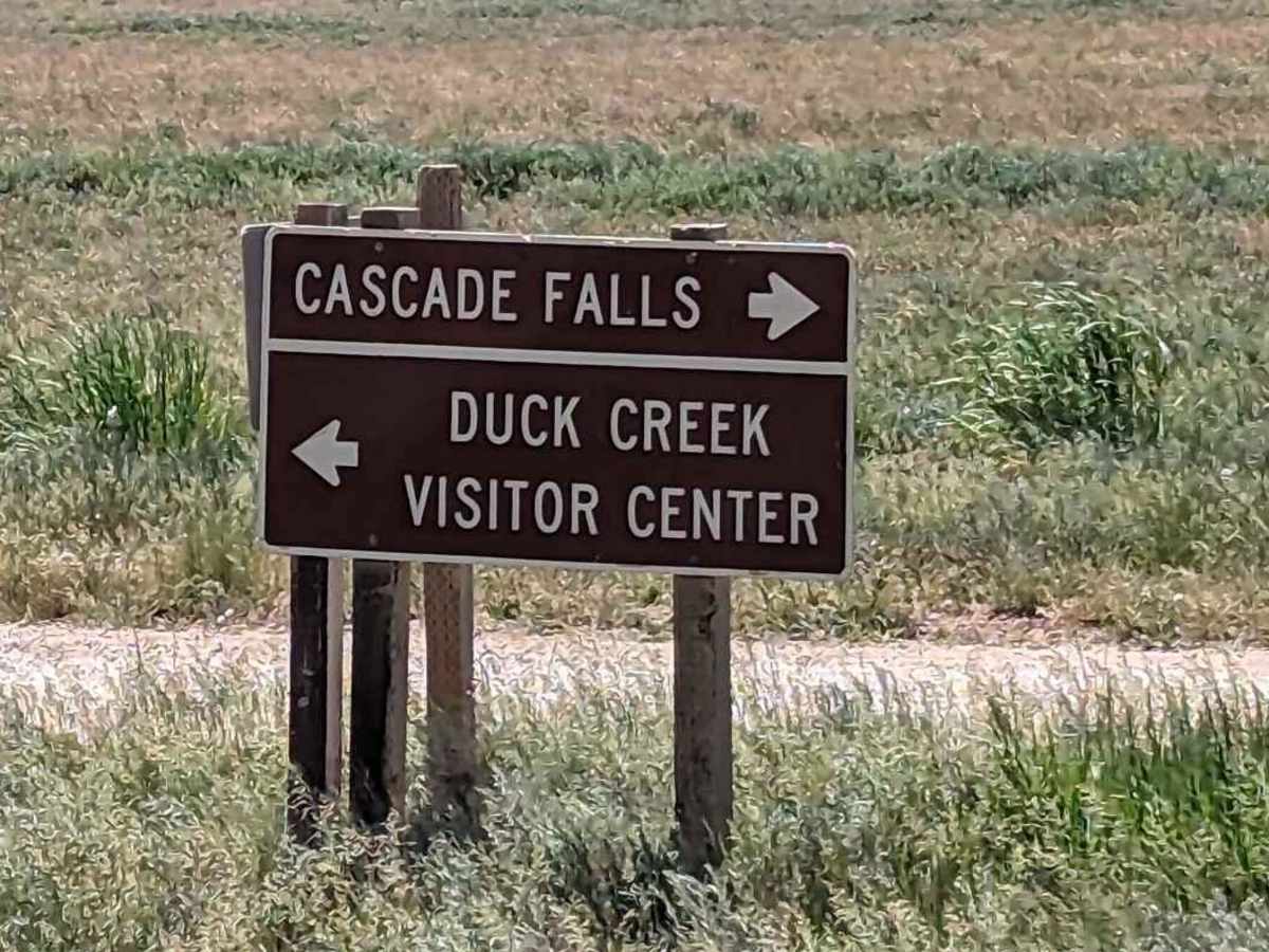
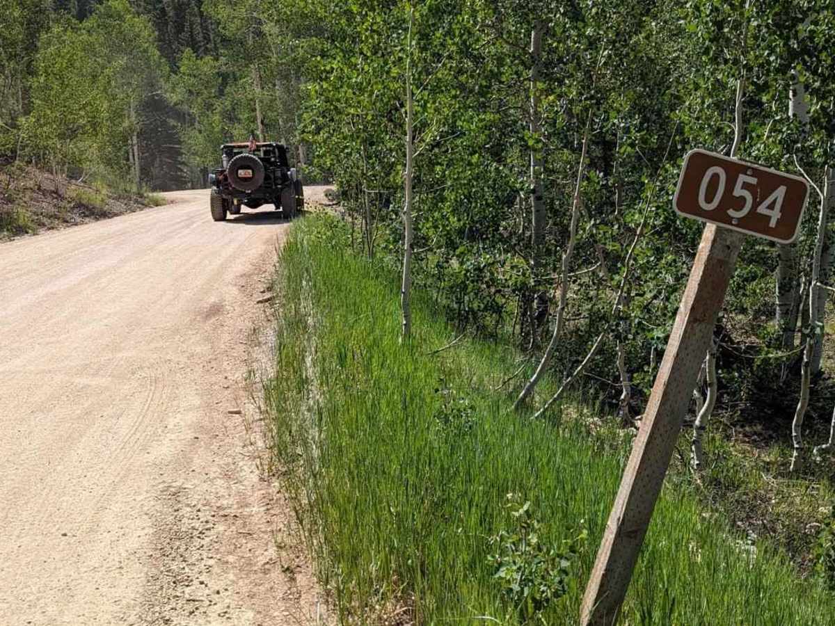
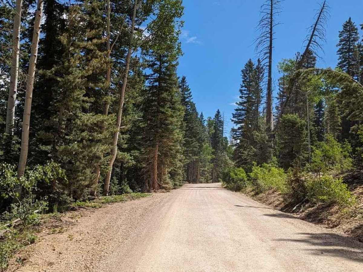
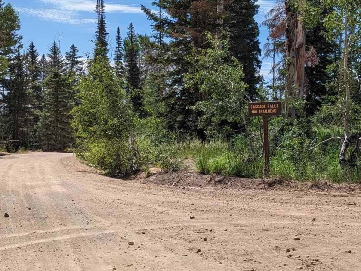
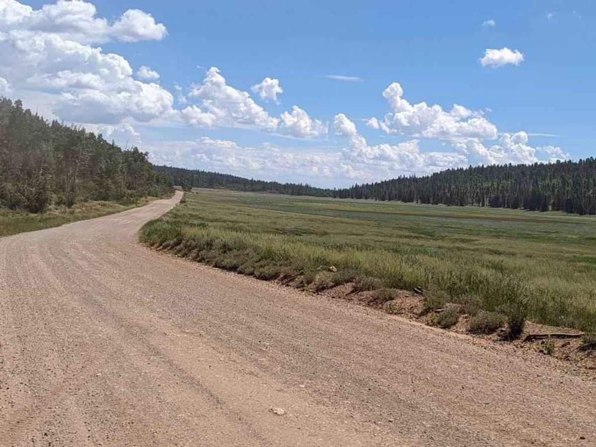
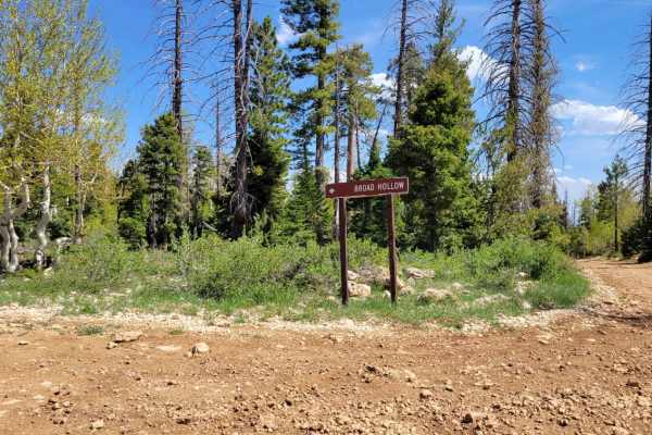
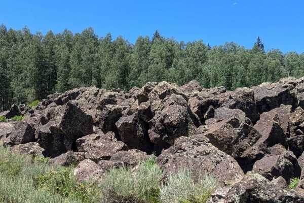
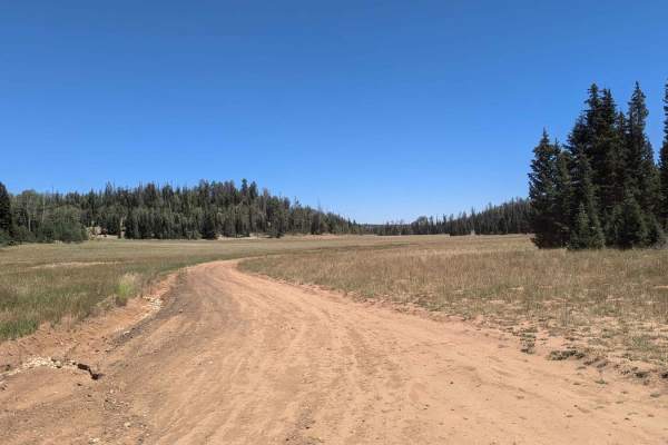
Cascade Falls Pink Cliff BLM 30054 is a 2.8-mile out-and-back trail rated 2 of 10 located in Kane County, Utah. This is a destination trail that leads to amazing views of Zion National Park and Cascade Falls. This is a well-maintained dirt road accessible by 2 and 4WD vehicles. The road will be closed in the winter months after the first snowfall. The trail passes through pine forest and crosses the Dry Valley prairie before ending at the Virgin River Rim. There is a National Forest-managed parking lot and restroom at the end of the road. From the parking area, it is a 1.2-mile round-trip hike to view the falls. Named for the waterfall that flows out of the side of the cliff, this trail is a local favorite. The trail provides spectacular views of Zion National Park and beyond. The water that flows over the falls is supplied by Navajo Lake through an underground lava tube or sinkhole. The water flows a couple of miles underground through the tube before exiting at the Virgin River Rim. Please note that the lava tube is closed to travel due to the low levels of oxygen and high water flows. Cell phone service is intermittent. The nearest services are in Duck Creek.