Trail Overview
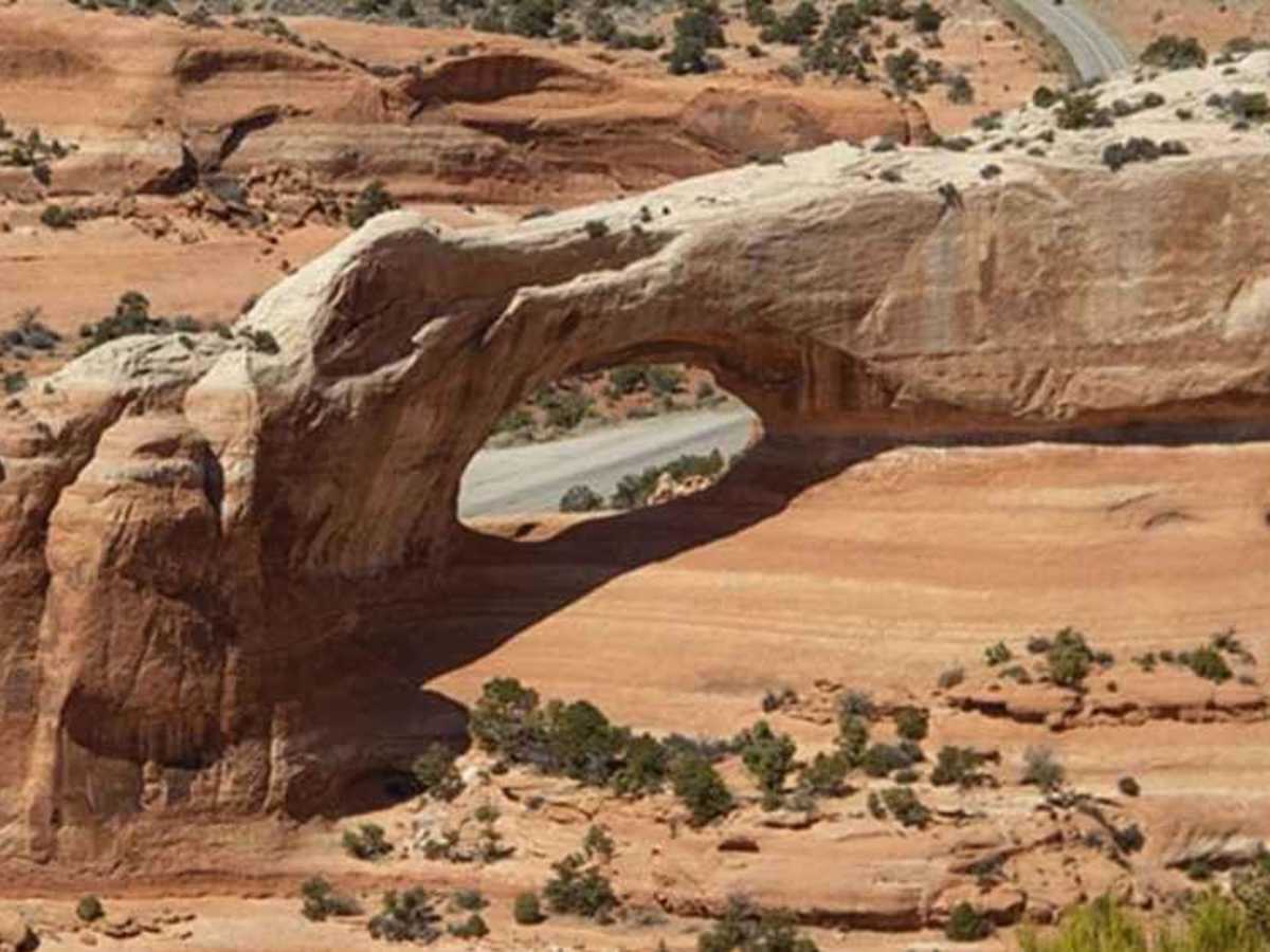
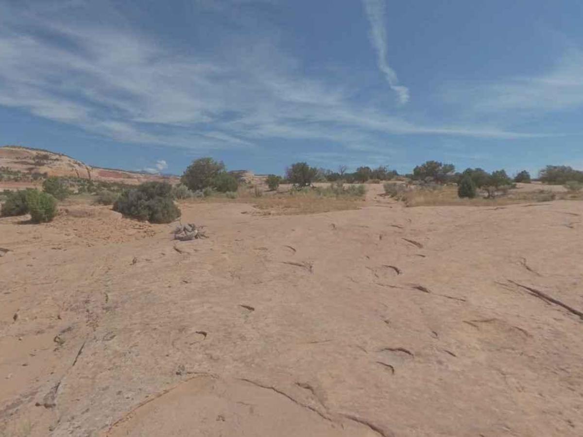
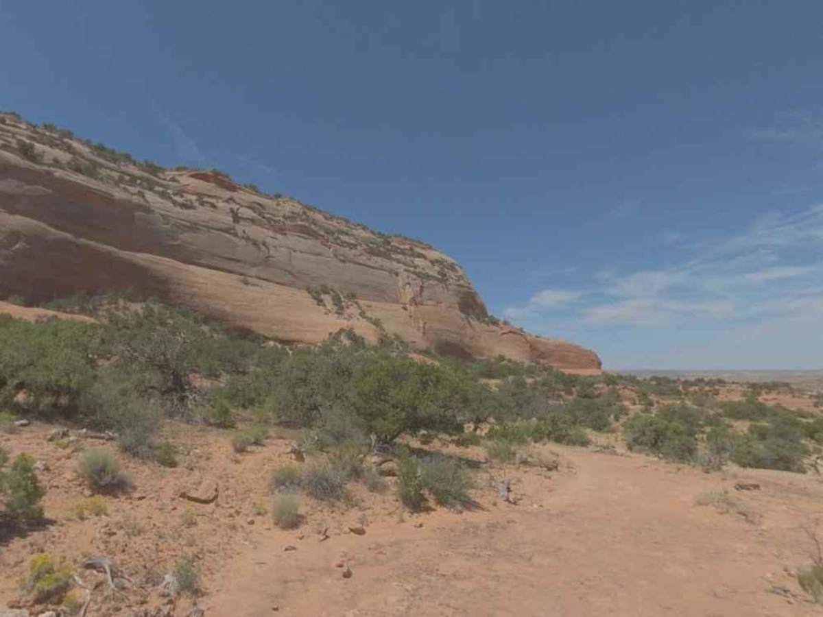
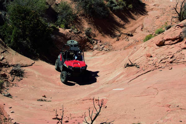
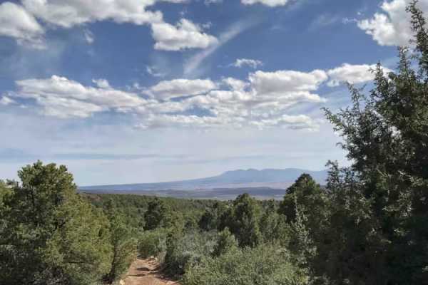
Cameo Cliffs to Wilson Arch is an 18.4-mile point-to-point trail rated 4 of 10 located in San Juan County, Utah. This trail is comprised of a combination of several old mineral exploration routes that are marked for use by the public. This trail provides some mild 4-wheeling while maximizing the stunning views this area offers. Those looking for milder wheeling should enjoy the abundant scenery of this trip. This is one of those trails that afford great scenery, with plenty of photo ops along the way. Some of the notable rock formations to keep an eye out for include Yak Rock, Dragon Rock, Cameo Mesa, the Four Fins Overlook, and the Wilson Arch Overlook. The La Sal and the Abajo Mountains provide a striking background to the desert scenery and are sure to have you mesmerized by their beauty. Most travelers get to see Wilson Arch from below while parked on the side of Highway 191. Those who travel this trail will get to see it from above with the highway below. The Cameo Cliffs/Hook and OHV Ladder Trail System consists of about 40 miles of marked and rated trails. Cameo Ridge trail is marked with the #1 from the trailhead to the turn at Wilson Point (trail #15). There is a large staging area at the trailhead where the trail begins. Cameo Ridge (trail #1) will take a carefully selected combination of trails to work around Cameo Mesa and across Hook and Ladder Wash. It will climb up to Dragon Rock, then pass by the Twin Meanie Rocks and Yak Rock on the way up to the highest levels of the Cameo South area. The Four Fins Overlook is encountered just before reaching the top of the trail. The trail continues with a bumpy and twisty trail around Rattlesnake Hill with the grand finale being the trail leading to Wilson Point (trail #14). A short, sandy section signals the final approach to Wilson Point and the view of Wilson Arch below. Backtracking from Wilson Point, the trail turns north eventually ending at Utah 46 and a paved road. Cell phone service is intermittent and the nearest services are in Monticello to the south and Moab to the north.
Difficulty
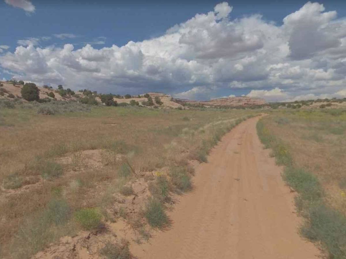
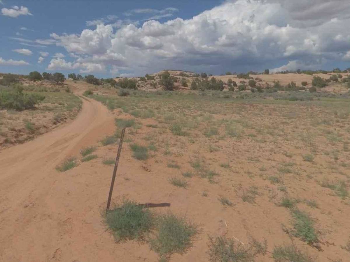
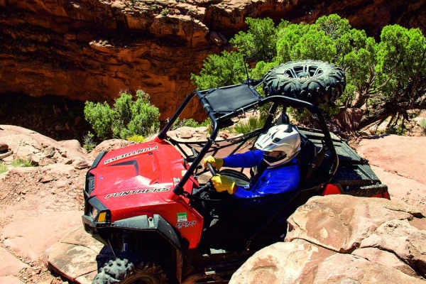
The trail consists of loose rock, dirt, and sand with some slickrock surfaces. There is some erosion, as well as washes, gulches, and rock steps no higher than 18 inches. Tall tires (33 inches or greater) and limited slip are a plus. 4WD is required. Enhanced suspension travel and good ground clearance are helpful. Good driving skills are also a plus.
History
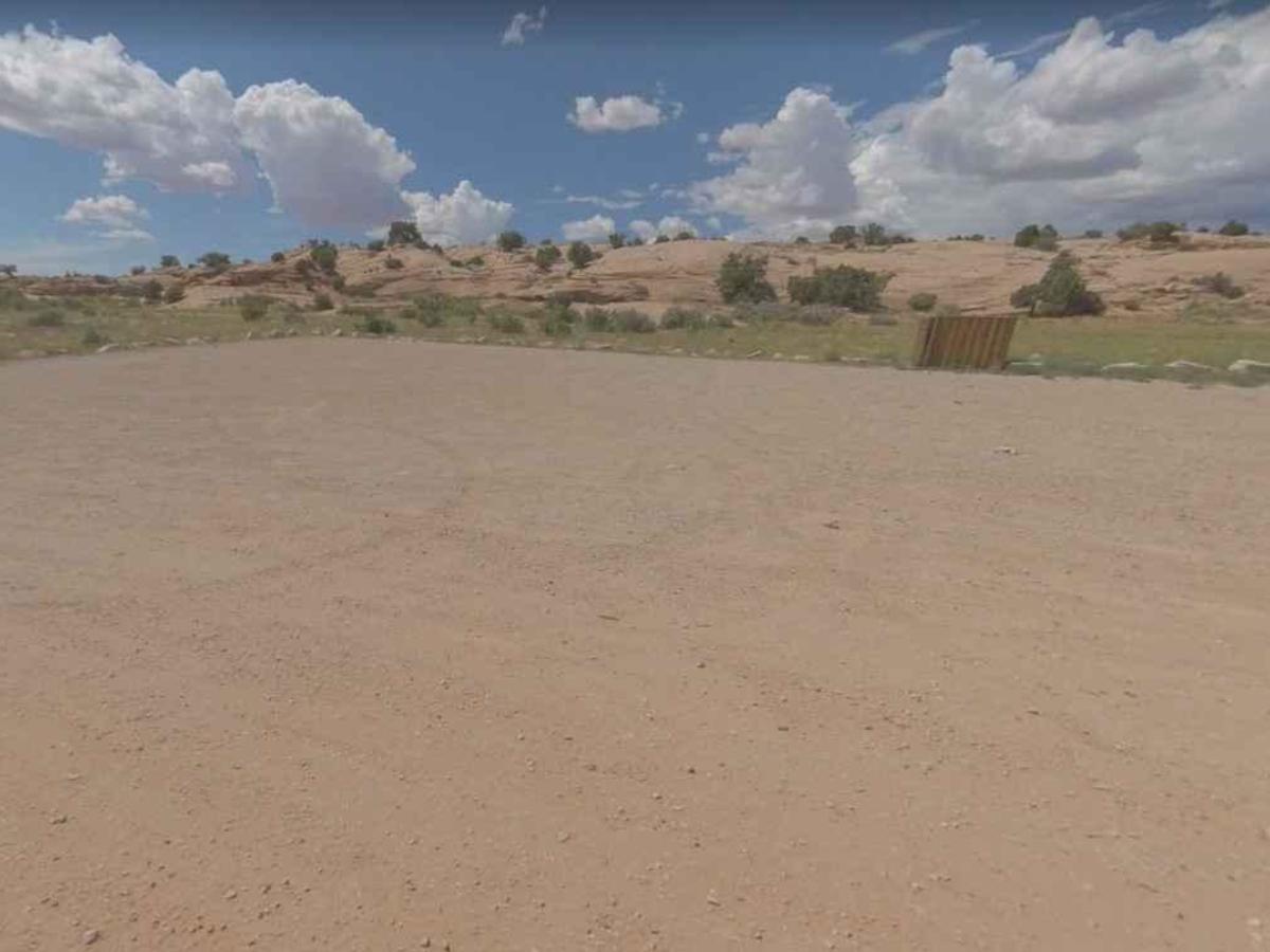
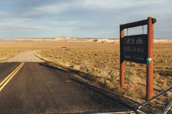
The Cameo Cliffs SRMA emphasizes motorized recreation, especially ATV use, on a series of old mining routes that are marked for the public. A trailhead and parking area is provided just east of Highway 191 (the sign on the highway says "OHV Trailhead"). Approximately 50 miles of route are marked within the area.