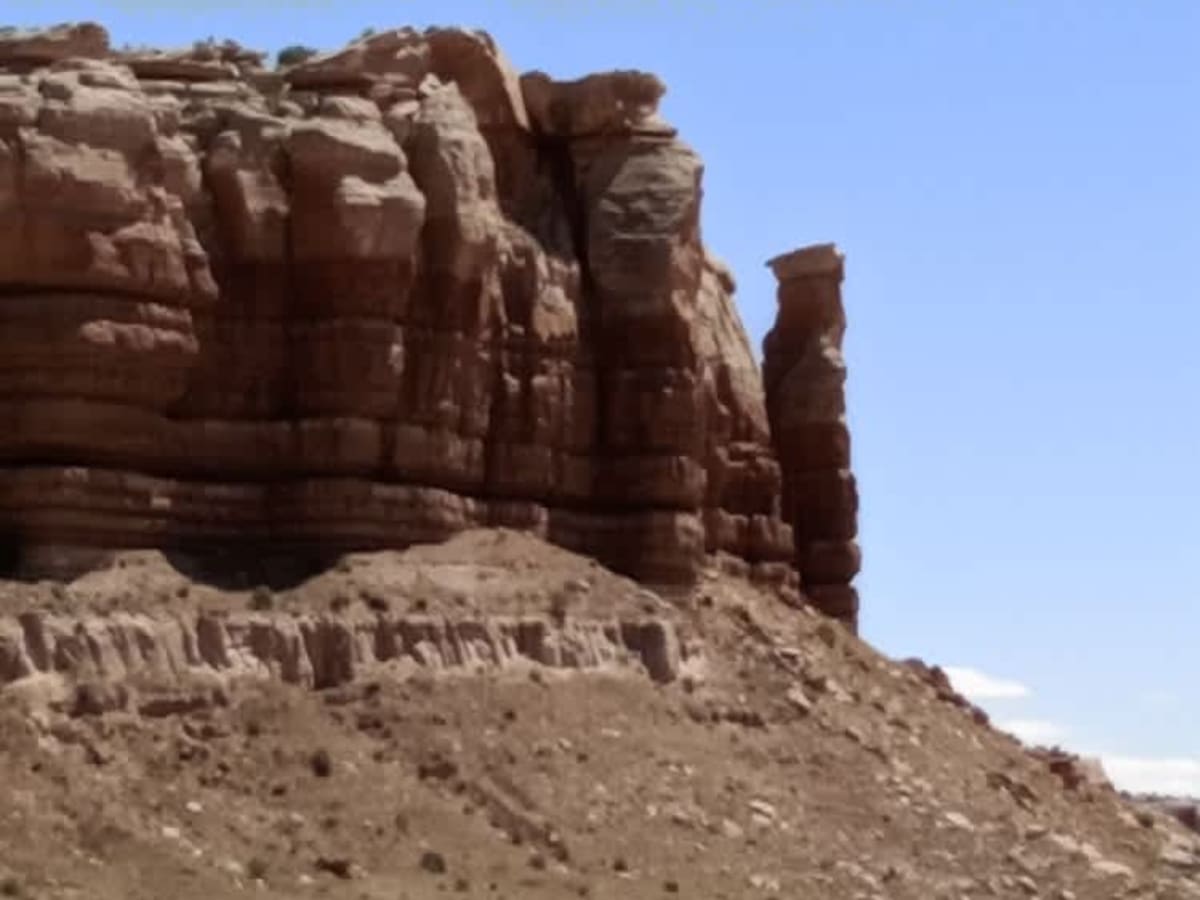
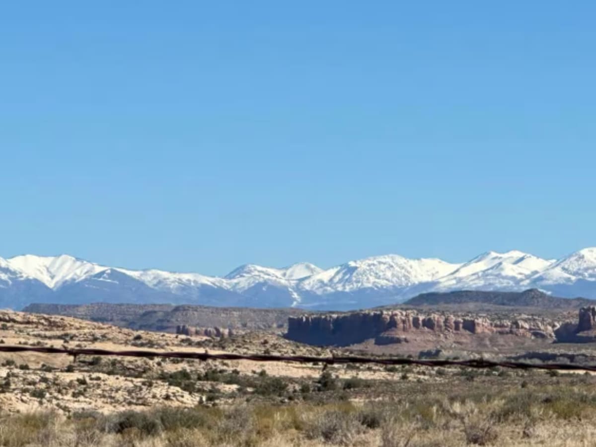
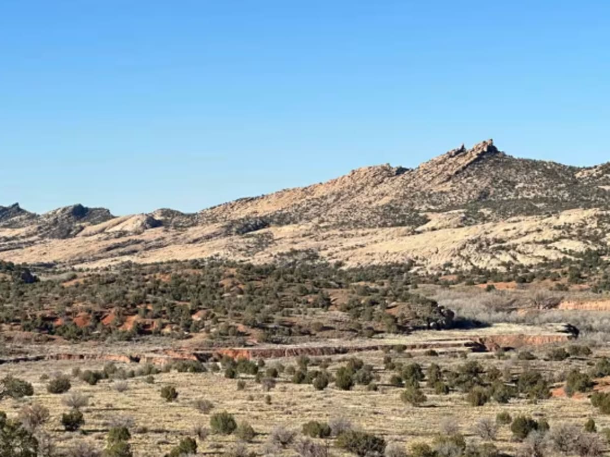
Butler Wash Road

Total Miles 21.2
Technical Rating
5 Moderate
Best Time Spring, Fall
Trail Type Full-Width Road
Accessible By
Open Trail Map

Trail Overview

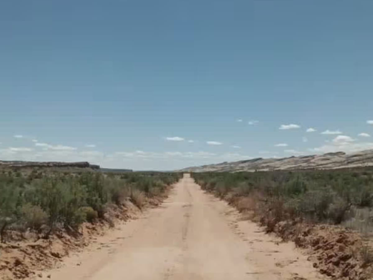
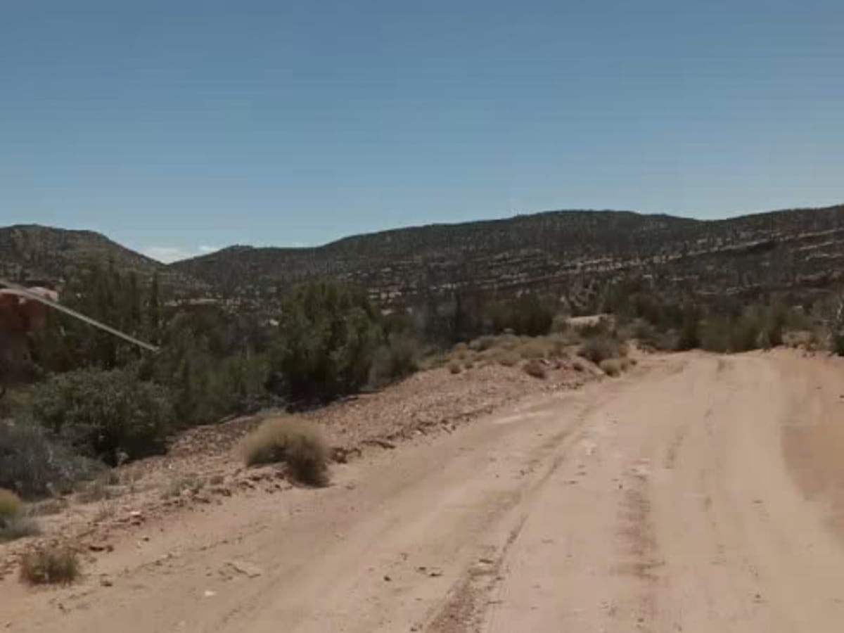
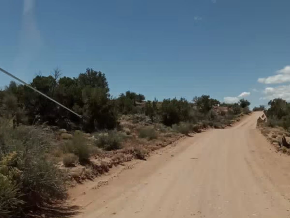
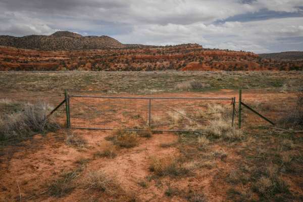
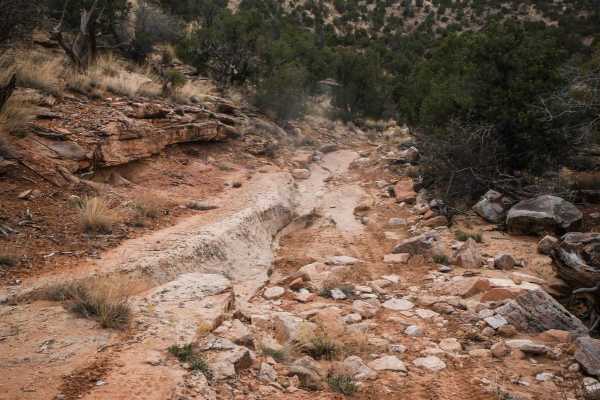
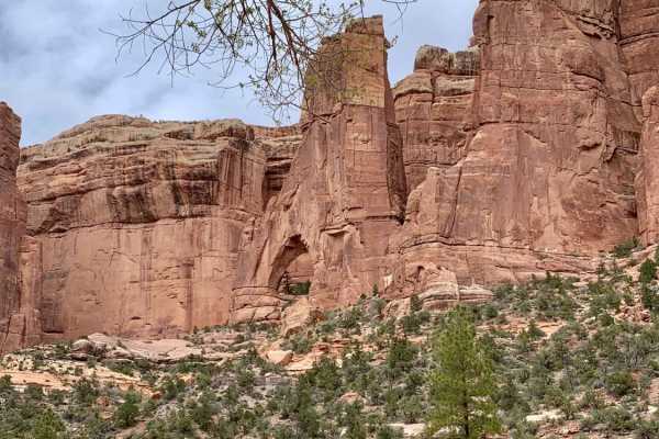
Butler Wash Road is a beautiful drive between Highway 95 and Highway 163. This road is not recommended during or the day after heavy rain. With sandy and rocky wash roads, high-clearance 4x4 is recommended. There are flat sagebrush bottom areas interspersed by rocky canyons and cliffs with numerous BLM permit areas for parking and hiking to Native American pueblo sites, plus a dinosaur track site near the north trailhead. This is a great family ride with easy terrain. In April and May, there's lots of greenery and lizards and chipmunks running around. It's an open range, so expect cattle, cowboys on horses, and wildlife such as deer and elk. Many other routes can be accessed from this area, such as Comb Wash, Comb Ridge Wash South, and the Emigrant Trail - Snow Flat Road;paved roads lead to other areas such as Valley of the Gods, Monument Valley, Cedar Mesa, and more.

Photos of Butler Wash Road

Difficulty

This is a backcountry byway that can be slick or muddy. There's 2WD access in dry weather, but it's impassable for 2WD when wet. It's mostly sandy and fairly flat 2-lane unimproved routes with some rocky and steep climbs; there is no driving in Butler Wash itself, but the sandy soil is mostly clay-based, so even 4WD may not work in wet conditions.

History

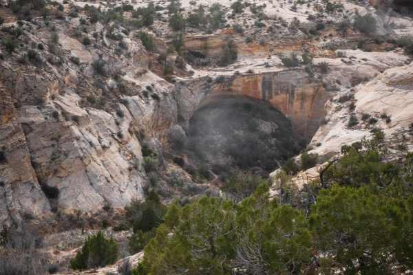
Comb Ridge is sacred to this day for Native Americans, and has several thousand years of historical occupation with many pueblo and kiva sites accessible by hiking. BLM permits are required for hiking/parking/camping at trailheads. Mormon settlers used the Hole-in-the-Wall trail to establish Bluff, Utah, and ranch this area today.

Technical Rating

5

Status Reports

Add Status Report
Thomas Semkow
Oct 28, 2025
Open
The original rating of 5 is way too high. I would give at most 3. The road is easy most of the time. However, there are quite a few washes to cross. They were all dry and the road was dry. I suppose it could be more difficult if wet, however you can say the same thing about any road in this region. 4x4 with high clearance required. Nevertheless, I saw a Ford van attempting this road. Overall, not too difficult and fun. There are several ancient ruins to explore, but you have to pay a $5 fee per person.
Jay Lund
Jun 10, 2025
Open
Northern half of Lower Butler Wash Road has been recently graded. The entire road is in good shape; gradually gets a bit more sandy and rutted the further north you go.
Beau Cameron
Jun 05, 2025
Open
Trail still has some moisture from the previous days rains. A couple sections I used 4WD just to be safe in the deeper water parts. It's a cool drive, but Comb Wash the nicer of the two if you ask me.
Clay Pittman
Mar 27, 2025
Open
Well graded road road switches back and forth from soft but not deep sand to solid rock base , several wash crossing that are somewhat steep and could be prone to flash flood. North and south ends are the rockiest with the middle being sandy. Never left 2wd in a stock 4Runner . Sand could be a problem on big adv bikes but is still passable
James Haney
Sep 29, 2024
Open
Oh my... deep, unrelenting sand. very challenging in bikes. We were on a KTM 890 and Tenere 700. the heat did not help anything.
Andrew Santine
Sep 09, 2024
Open
Ride was extremely sandy and difficult to navigate . Our sand and dirt skills were not up to the task for this and it showed. Sand several inches deep in most places cause our bikes to slide all over the road and wiped out several times. Would be easy in a 4x4
Aaron London
Jun 01, 2024
Open

Butler Wash Road Trail can be accessed by the following ride types:

  • Single Track
  • 50 Inch
  • 60 Inch
  • High Clearance
  • Full Width

Butler Wash Road Map

The onX Offroad Difference

onX Offroad combines trail photos, descriptions, difficulty ratings, width restrictions, seasonality, and more in a user-friendly interface. Available on all devices, with offline access and full compatibility with CarPlay and Android Auto. Discover what you're missing today!

Open Trail Map