Trail Overview
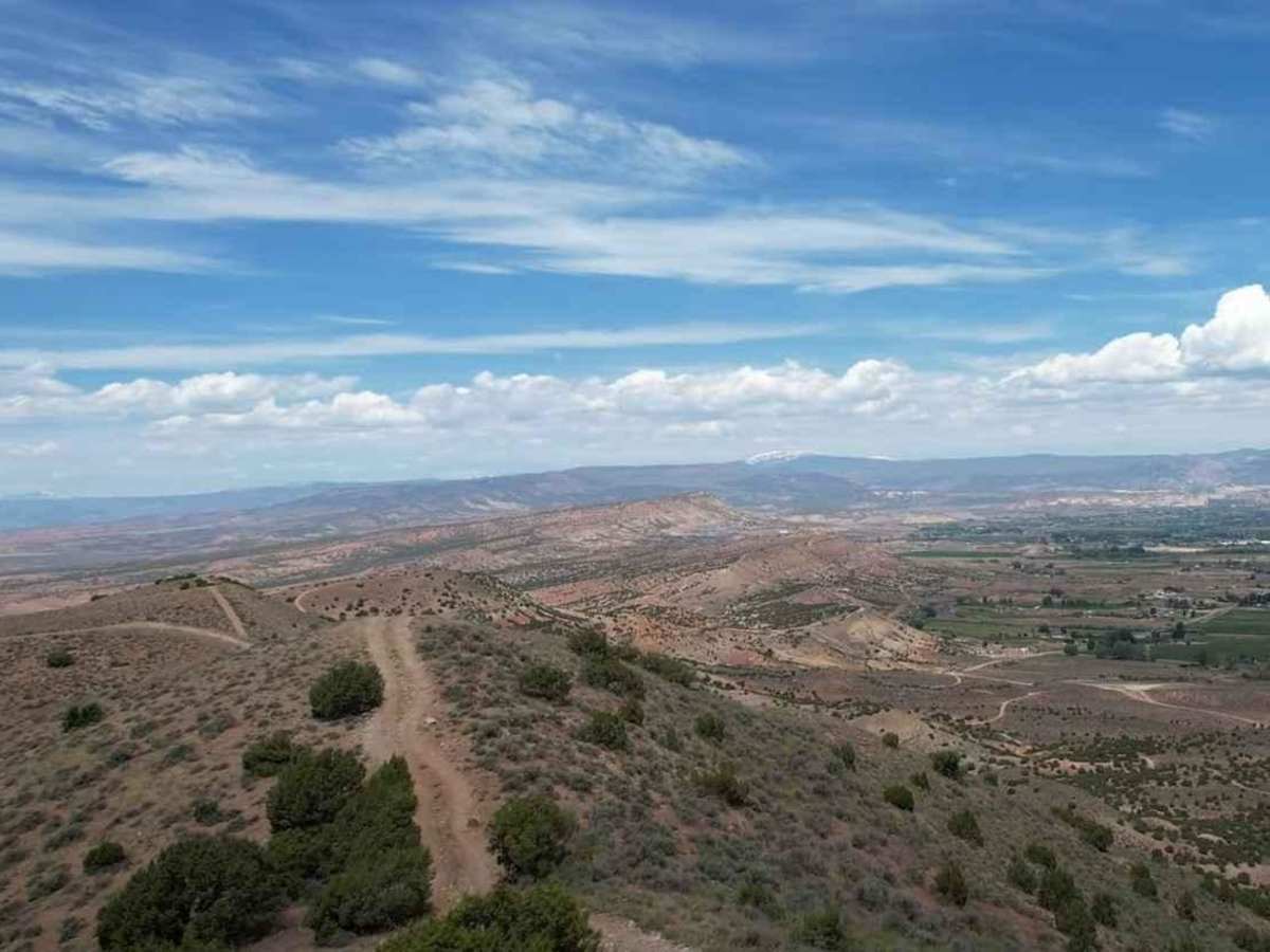
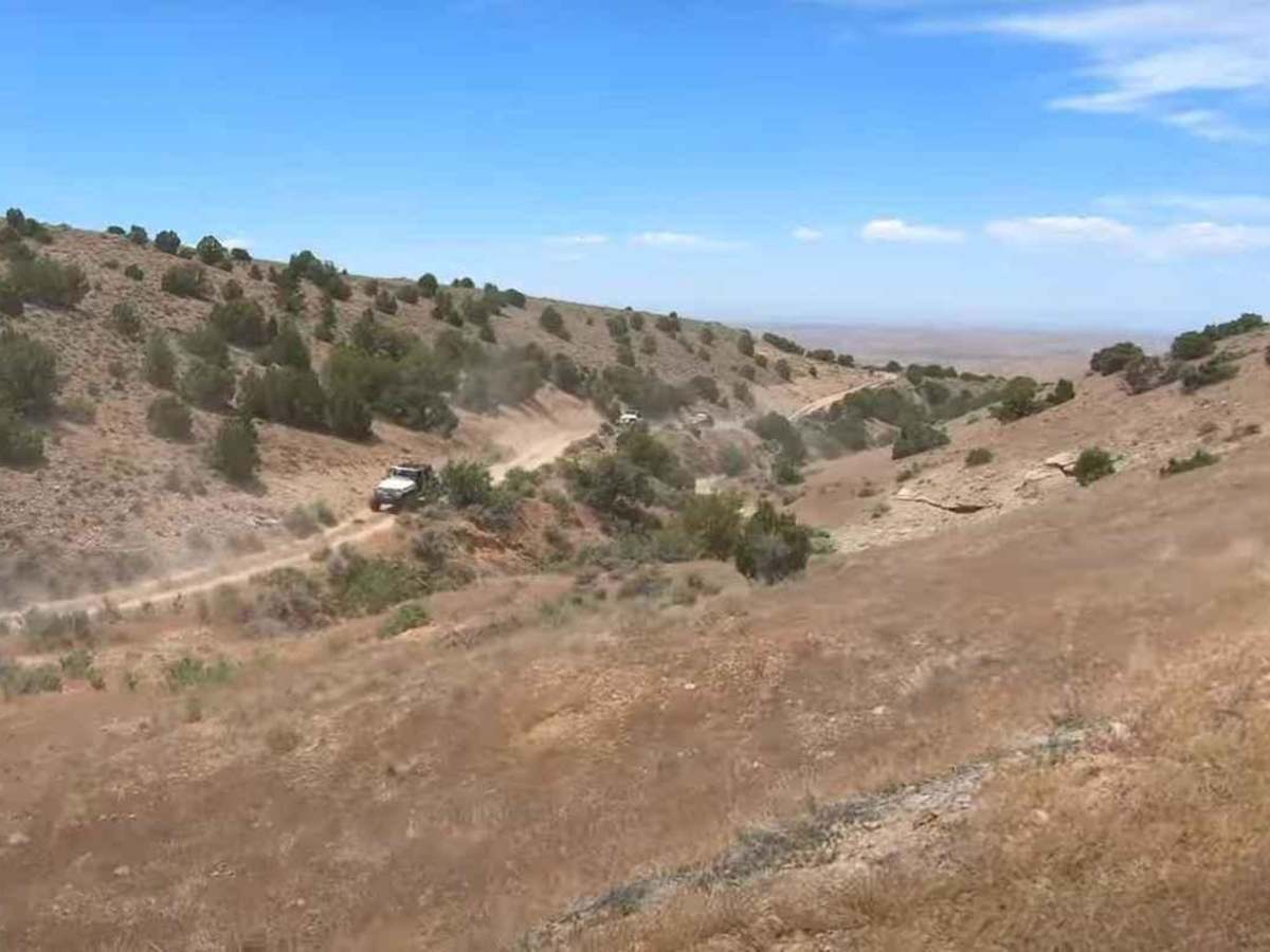
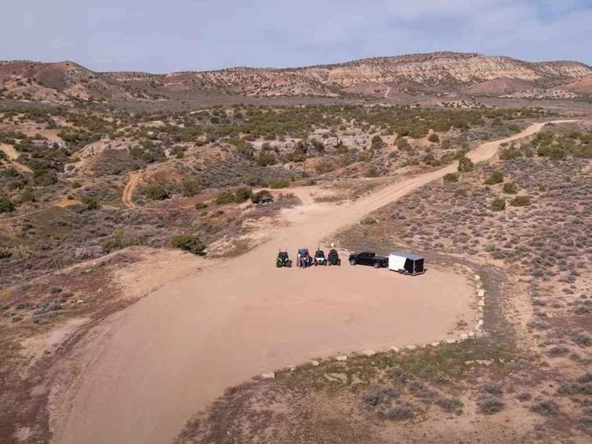
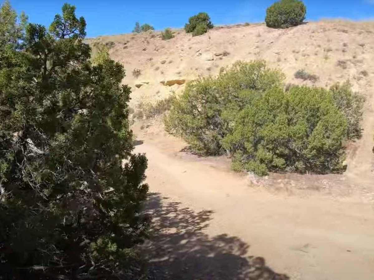
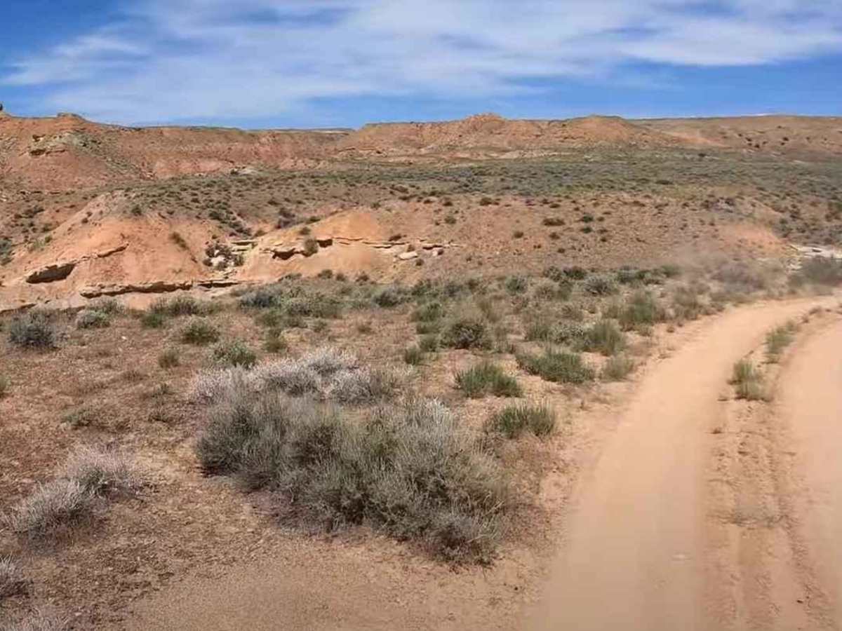
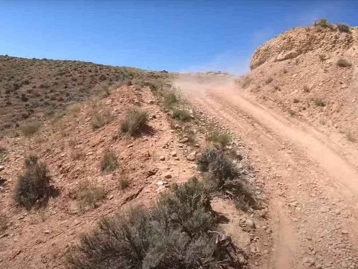
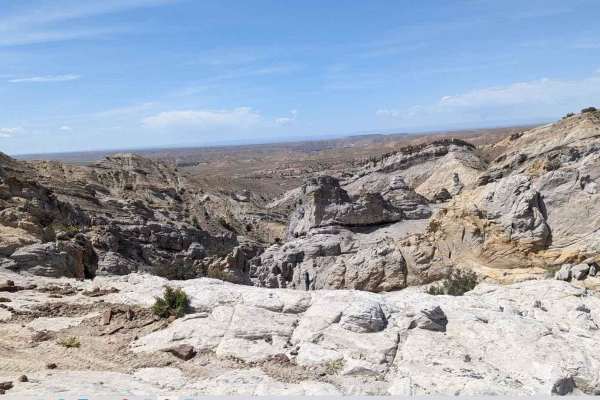
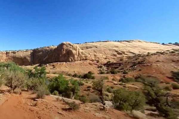
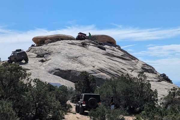
The Butch Cassidy Loop is one of several trails within the Outlaw Trail System in and around Vernal, Utah. This 15-mile loop trail is used both during the Vernal Rock Rally and the Outlaw ATV Jamboree. The Rock Rally is focused on full-size 4x4 vehicles and rates the trail a 4 of 10 while the Outlaw ATV Jamboree focuses on ATV/UTVs and rates the trail a 6 of 10. The Butch Cassidy Loop starts and ends at the same location just off SR45. There is trailer parking available at the trailhead. The trail starts in a southern direction running several miles through deep canyons and washes. There may be points where careful tire placement is necessary, or just a bypass in the wash bottom to avoid eroded trail conditions. As the trail turns west, it crosses McCoy Knoll and then McCoy Flats, a large plateau area surrounded by rolling hills. The trail includes about 1 mile of pavement (McCoy Flats Road) as it turns northwest. Just before turning back to the northeast is the McCoy Flat Mountain Bike area. Located here are a couple of toilets as well as several shaded picnic tables, making this a nice location for a break along the trail. The fun really begins in the second half as the trail climbs northeast up to Asphalt Ridge. Once upon the ridge, there are incredible views of the Vernal Valley below and Spit Mountain in the distance. As the trail follows the ridge, there are steep rocky climbs and descents. Some are close to a quarter mile long. This section of the trail follows the ridge spine. Butch Cassidy Loop winds through canyons full of unique rock formations and offers views of the Green River in the distance. The terrain is diverse from layered rock formations to bubbling tar sands. The slightly off-camber trail is made up of dirt and cobblerock. Most of the loop is moderate, although the Asphalt Ridge portion is more difficult. There are a few cracks along the trail which provide optional challenging obstacles. Other than in the canyon, cell phone service coverage is good. The nearest services of all types are located in Vernal.
Difficulty
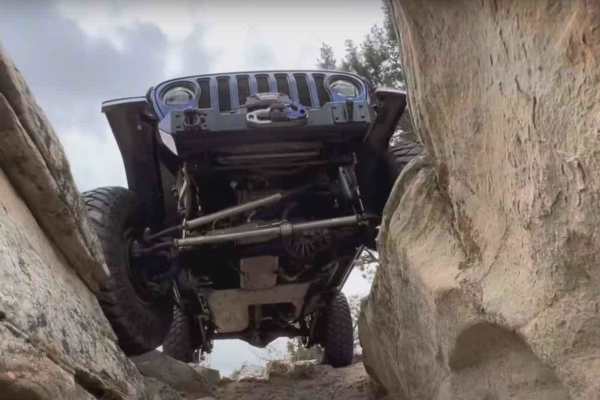
The trail consists of loose rock, dirt, and sand with some slick rock surfaces. There's some erosion; expect washes, gulches, and rock steps no higher than 18 inches. Tall tires (33-inch plus) and limited slip are a plus. 4WD is required. Enhanced suspension travel and good ground clearance are helpful. Good driving skills are a plus.