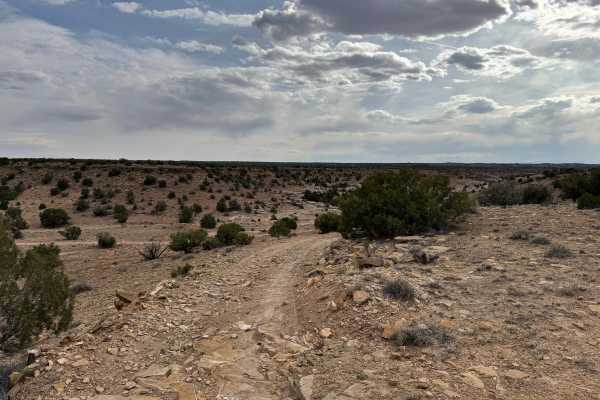
Trail Overview
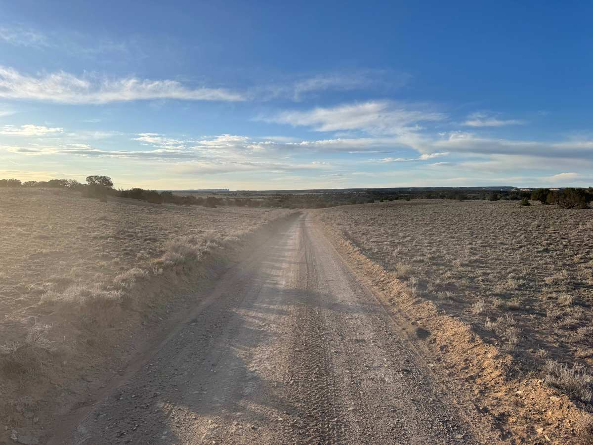
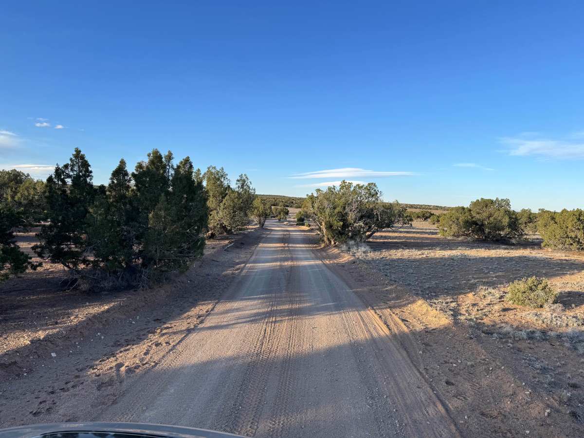
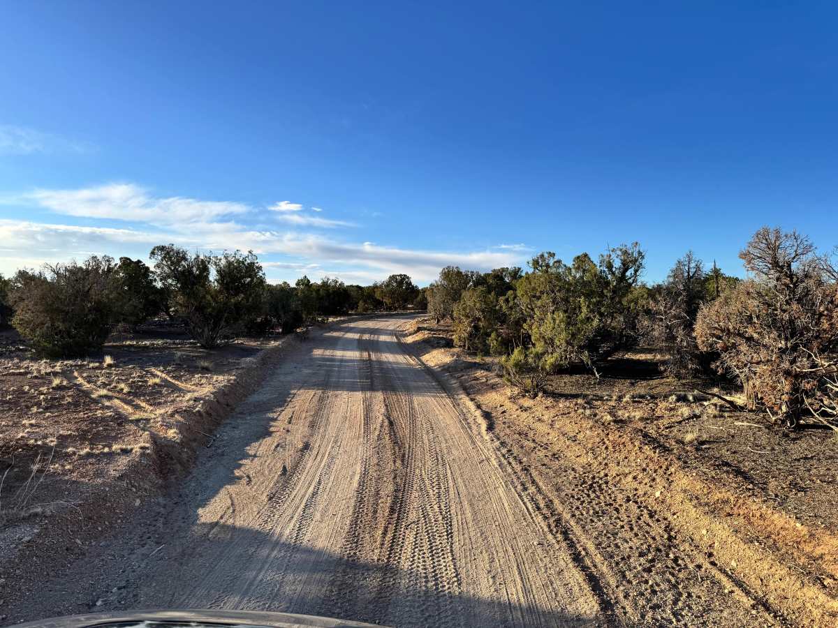
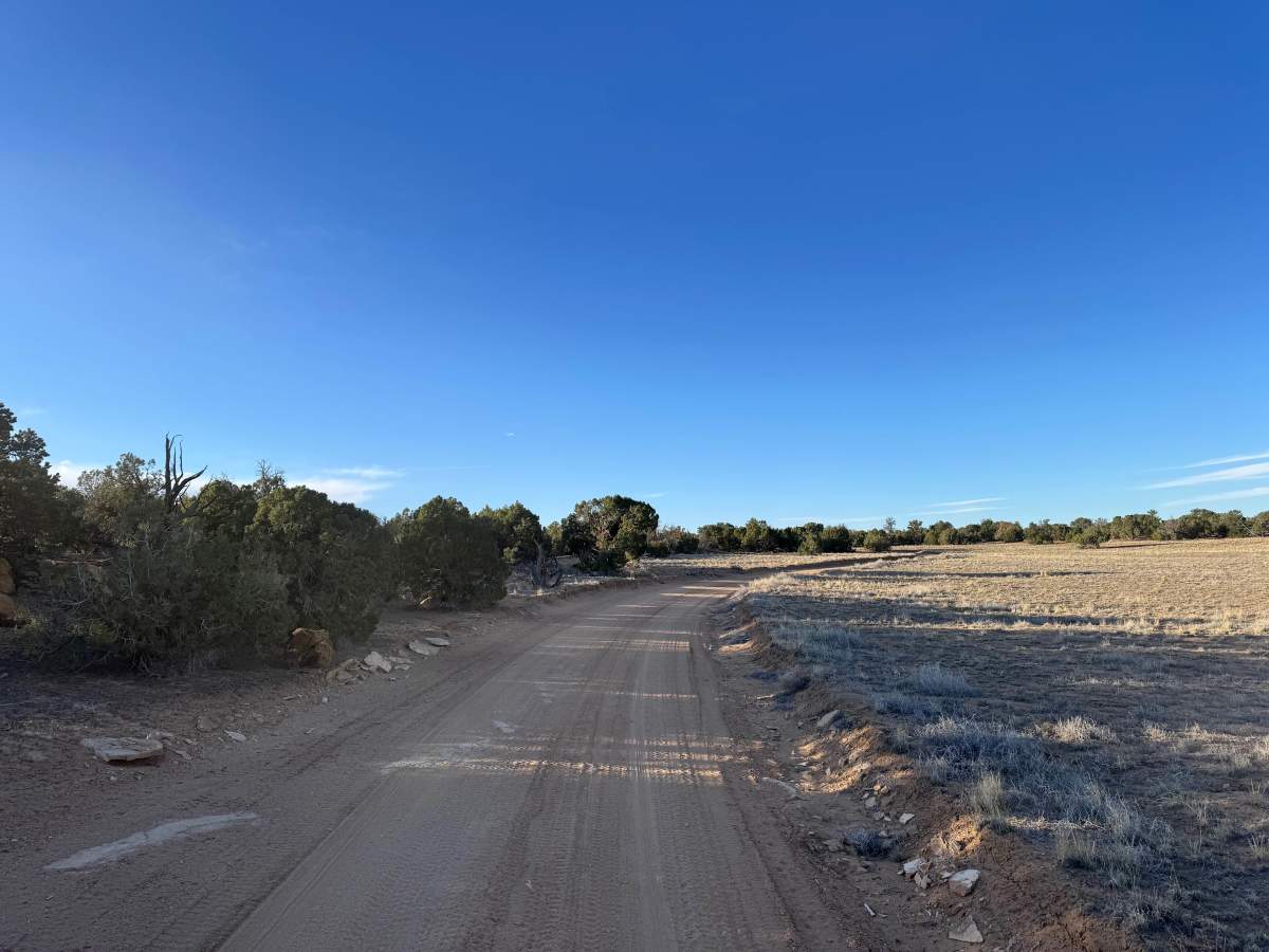
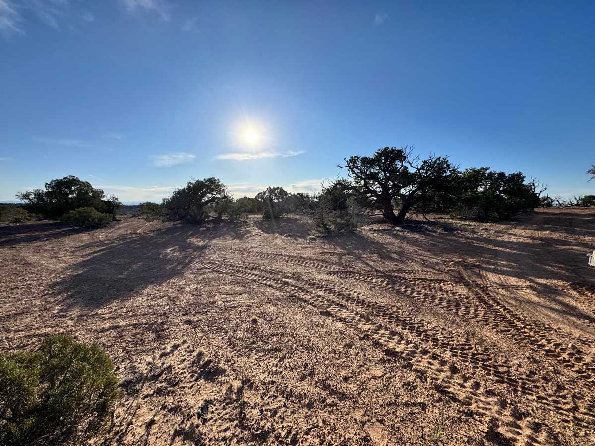
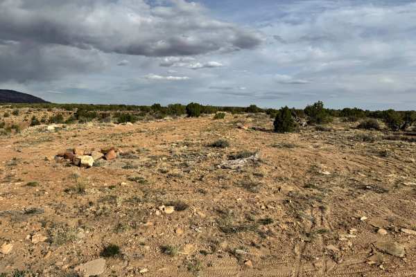
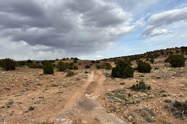
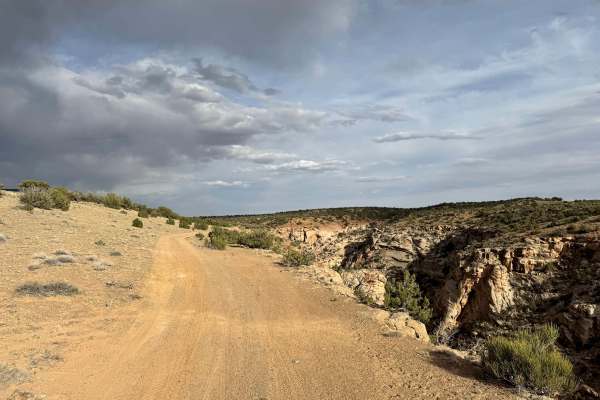
Non-Resident OHV permits apply to ATVs, UTVs, and dirt bikes. Plated street-legal vehicles typically do not need one on legal motorized routes. This short connector trail offers a quieter alternative to the more traveled routes near Calf Canyon Overlook, providing a peaceful drive through the San Rafael Swell. Starting off BLM 625, the trail begins in a tight, brushy section where vegetation crowds the path and pinstriping is very likely, especially for wider vehicles. After this initial stretch, the route opens up into a more straightforward dirt road, running across a flat and open section before transitioning into a winding path that follows one of the smaller side canyons branching off Buckhorn Wash. While not a destination trail on its own, it still leads to a scenic overlook above Buckhorn Draw, offering a rewarding view at the end. There is one slightly steeper section along the route, but no major obstacles, making it a relaxed and scenic drive overall with opportunities for solitude and dispersed camping along the way.
Difficulty
This trail is mostly a straightforward dirt road with no major obstacles, making it suitable for most high-clearance SUVs and 4WD vehicles in dry conditions. The only challenges are the tight, brushy entrance where pinstriping is likely and a slightly steeper section that may require a bit more attention. Overall, it’s an easy route with minimal technical difficulty.
History
The San Rafael Swell is a massive geologic uplift shaped by erosion into canyons, mesas, domes, and reefs. Many roads in the region were later used for ranching, mining, and energy exploration, creating the access routes travelers still use today.