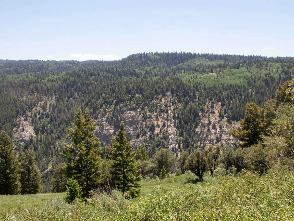
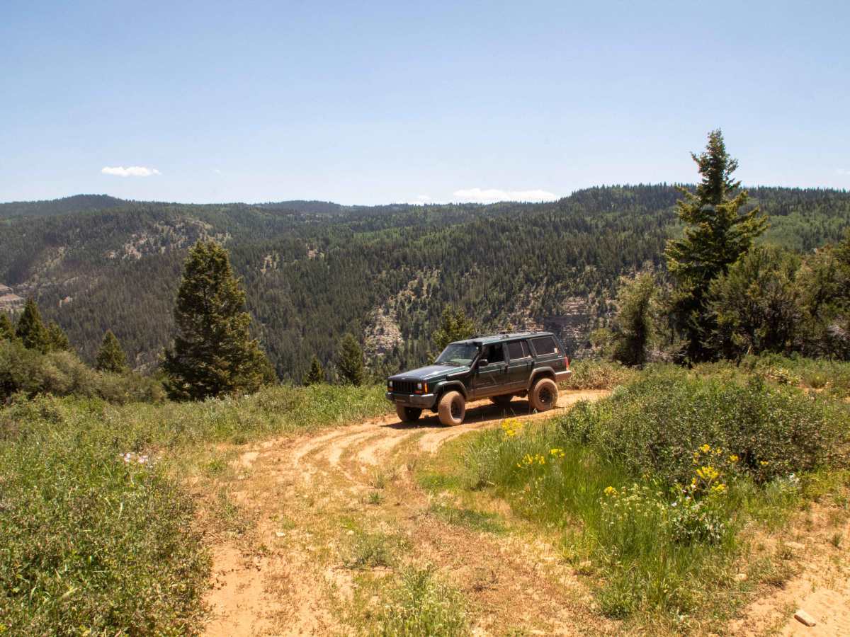
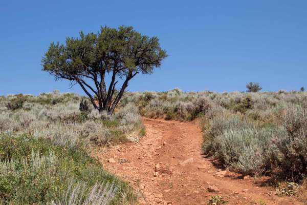
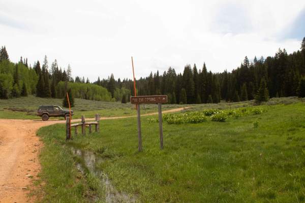
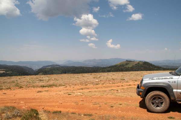
Trail Overview
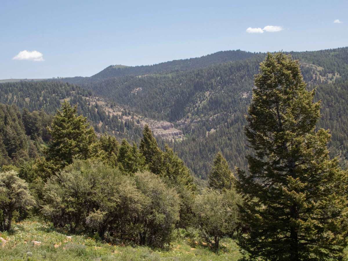
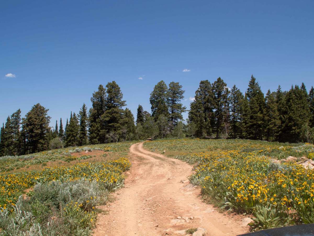
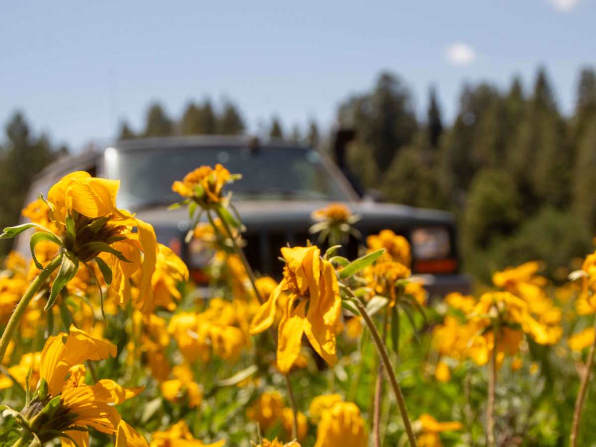
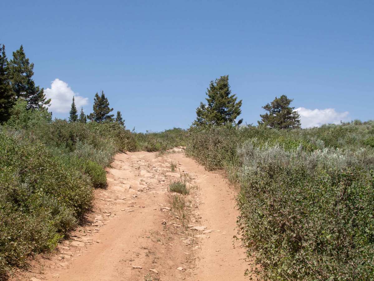
This is a short trail that splits off of Baxter Sawmill Road and follows the ridge through the trees before ending in a turnaround overlooking the canyon. This trail is highly scenic as you travel through the trees, occasionally popping out into a clearing revealing some of the surrounding views and being filled with wildflowers during the early spring and summer. At Miles 0.3 and 0.5, there are some beautiful views as well as wildflowers. There are a few dispersed camping spots along this road with a few being in the trees less exposed to the wind that is prevalent on the ridge. There is enough room at the end of the trail to comfortably park and turn around with the road forming a small loop at the overlook. This trail is open year-round but may be inaccessible due to snow during the winter and spring. The trail is mostly dirt with some silty sections that have some ruts forming and has the potential for a couple of mudholes depending on the weather.
Difficulty
About 1/4 mile into the trail, there is a potential mudhole depending on the time of year, as well as the beginning being rutted and the end being a little rougher.