Trail Overview
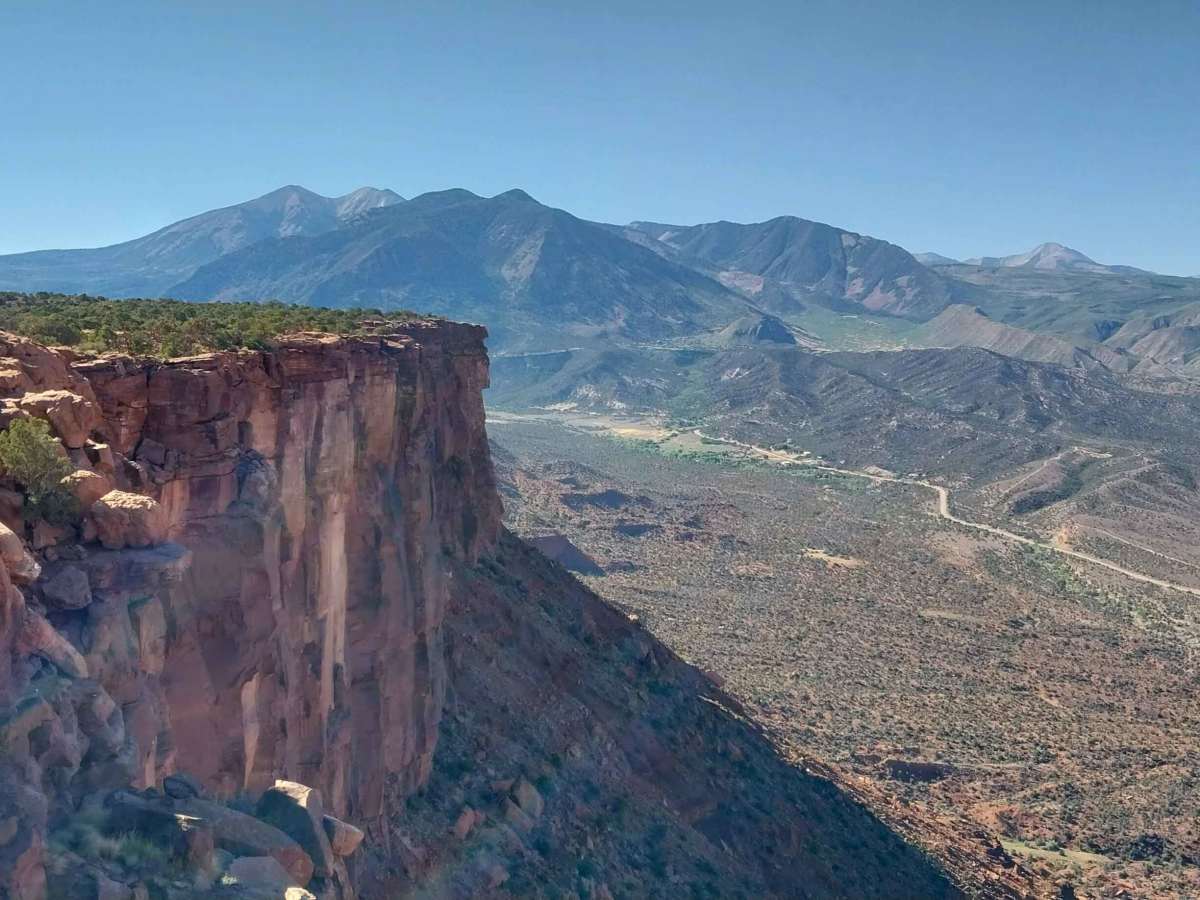
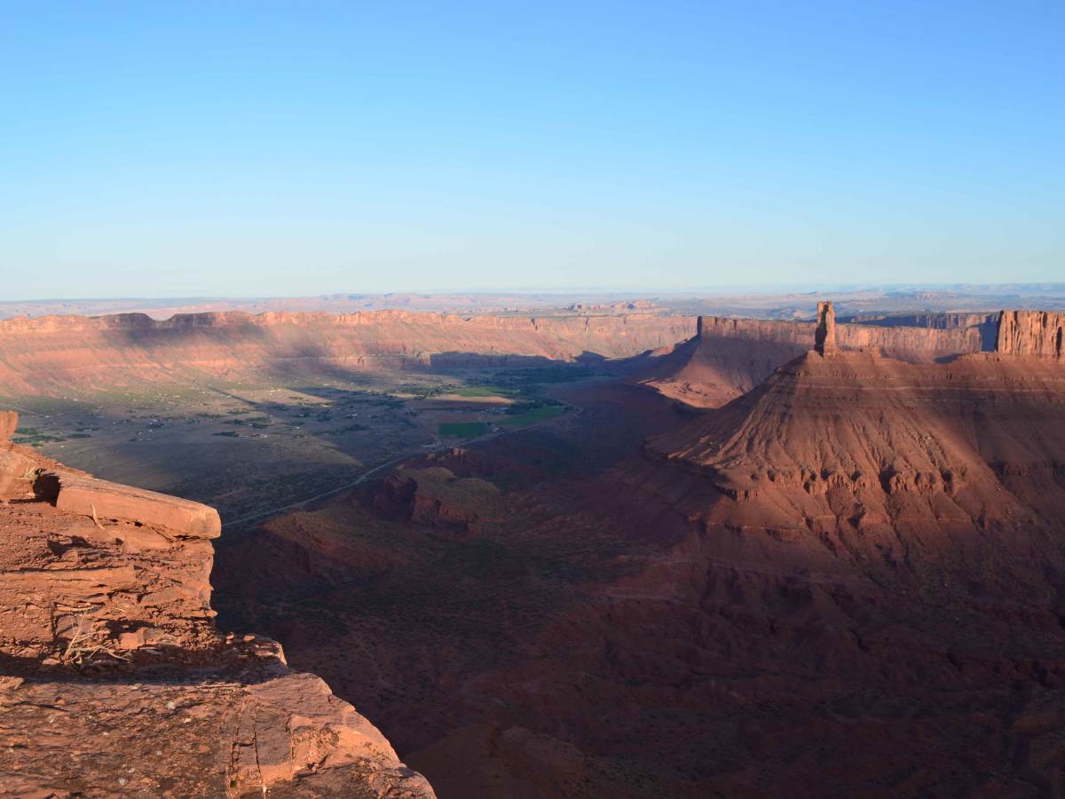
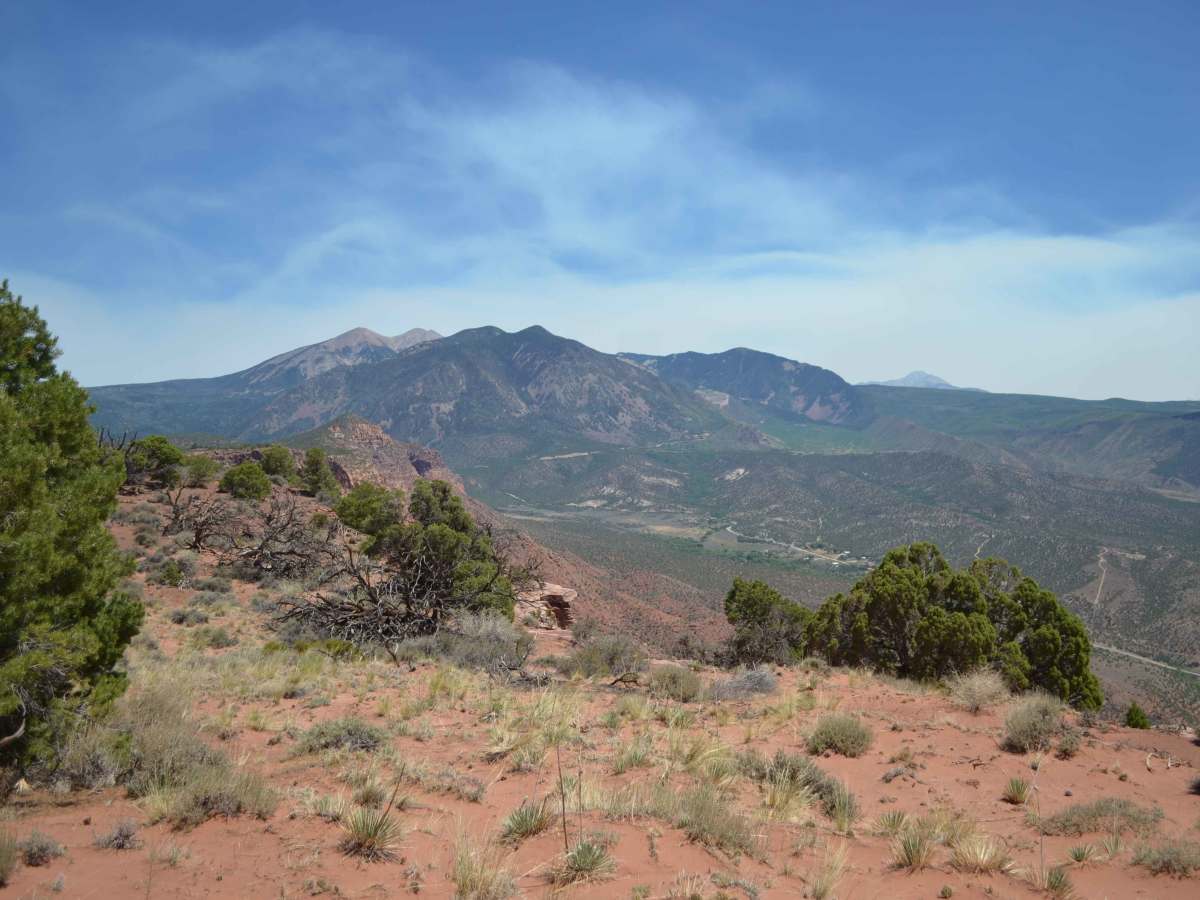
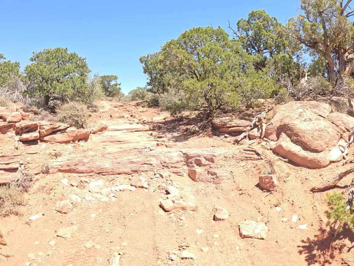
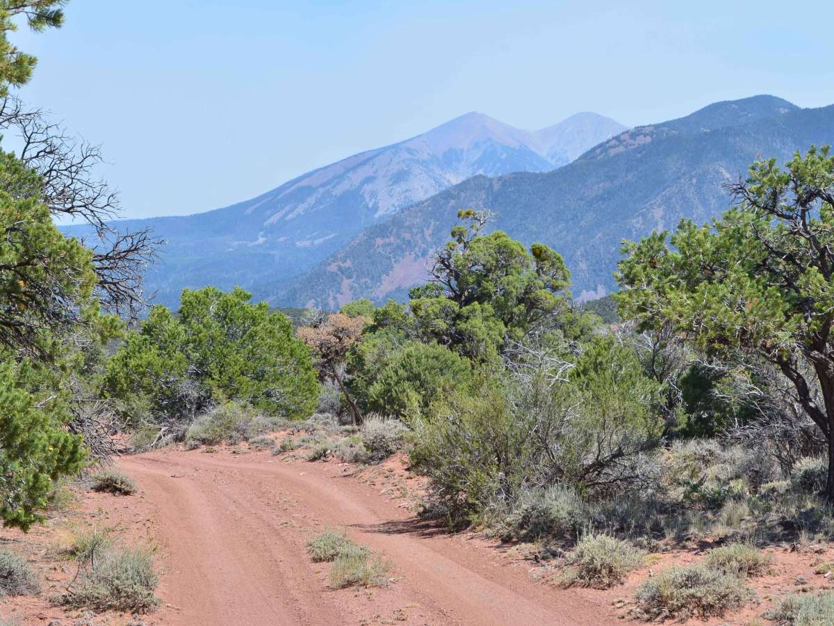
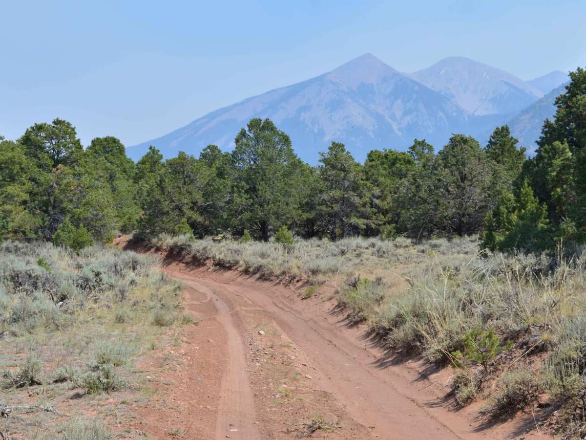
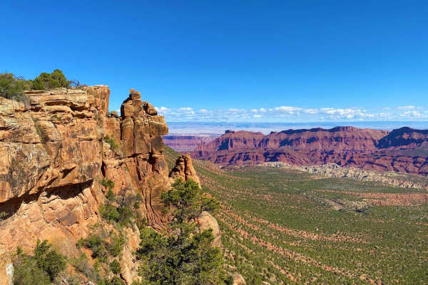
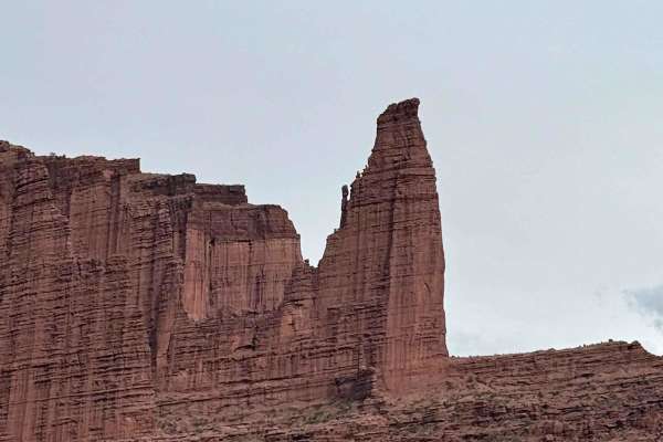
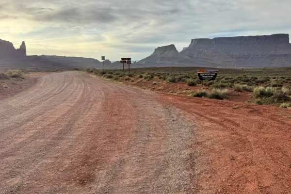
This trail accesses the Adobe Mesa. It is a 12-mile round-trip out-and-back trail. The mesa peninsula overlook is about another 1.4-mile round-trip walk from the end of the motorized trail. The overlook offers spectacular views of the Castle Valley and surrounding areas. The trail heads west from Taylor Flat Road. The first mile of the trail is shady, headed mostly downhill with lots of loose rock. After crossing the first drainage, the second mile of the trail flattens out with fewer rocks, more dirt, and quicker travel. The next few miles offer relatively easy travel, undulating through the mesa. This section begins to offer views of the La Sal Mountains and the upper Castle Valley. The last mile of the trail has a couple of short, rocky, downhill step sections (see picture) that aren't too daunting if the right line is selected. A stock 4x4 with moderate clearance should not have much trouble. The trail ends at the 6-mile mark. There should be a cable across the trail preventing further motorized travel westward. Some trail reports have mentioned that the post that the cable attaches to has been pulled out of the ground and set aside. Regardless, do not drive beyond this point...it is designated for non-motorized use. OnX also identifies it as such. There is a small parking area at the end of the trail. Just a few steps south offers a great view. Keep track of the kids and any pets, as there is a cliff drop-off. As mentioned, if you continue west down the two-track on foot. The .75 mile walk to the overlook is flat. The walk is on uneven sandstone slab through shorter pinion scrub. The two-track terminates on an extremely narrow peninsula jutting out into the Castle Valley. The overlook is surrounded by spectacular views with steep, nearly 1000' drops all around. This spot offers epic views of Castle Valley, the La Sal Mountains, Castle Rock and the Nuns, Hellroaring Canyon, and the Colorado River escarpment.