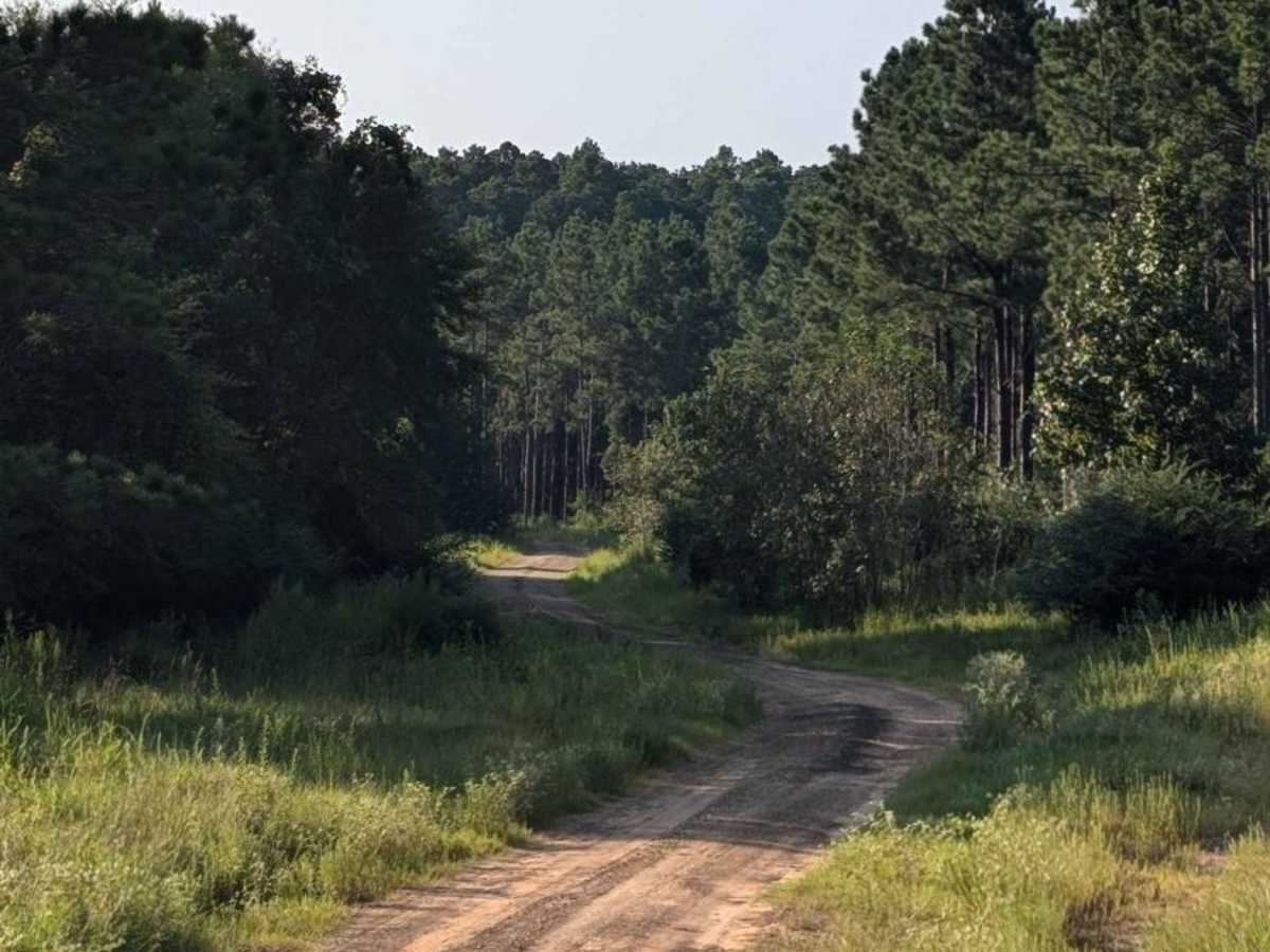
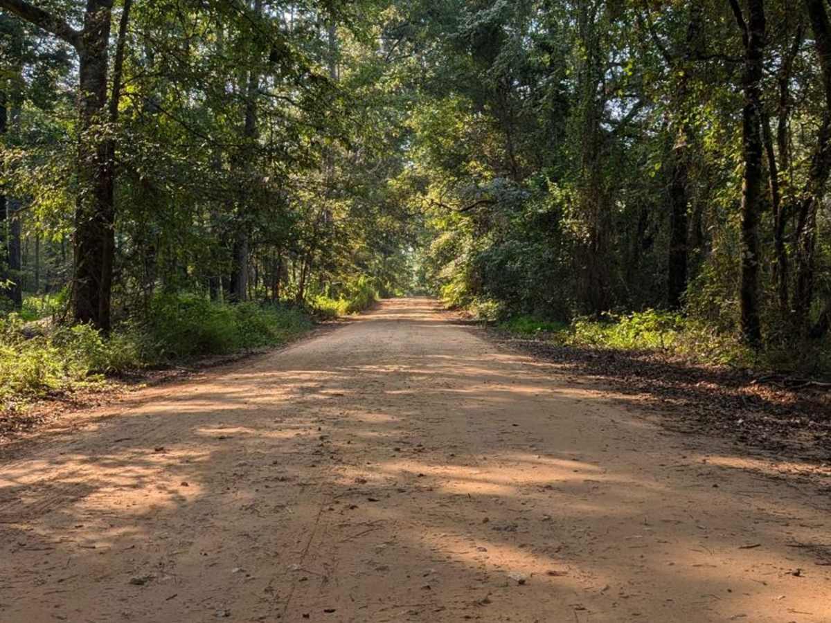
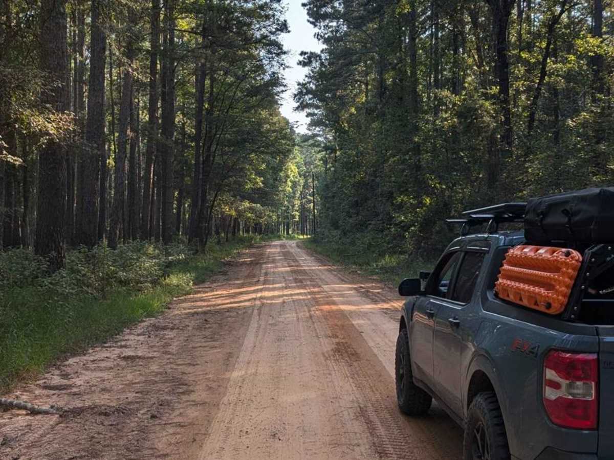
Mission Tejas Cut Through

Total Miles 9.2
Technical Rating
3 Easy
Best Time Summer, Winter
Trail Type Full-Width Road
Accessible By
Open Trail Map

Trail Overview

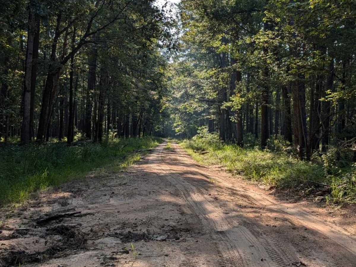
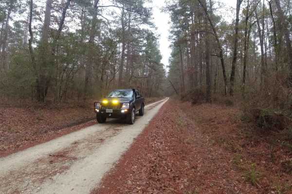
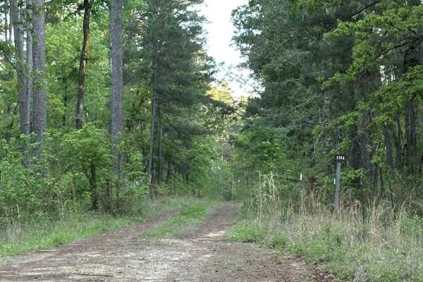
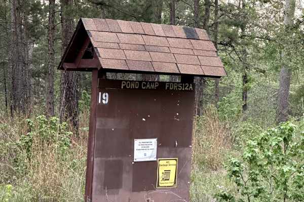
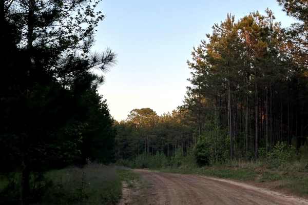
On one end of the trail is Mission Tejas State Park. On the other end is a natural spring leading to the Big Slough Wilderness Area. If you're looking for a good route from the Big Slough to get to the famed Mission Tejas State Park (or vice versa), then this is the ideal trail. Filled with dirt roads, gravel strips, and spots of natural water erosion, this trail offers the opportunity to see some of the Davy Crockett National Forest's wilderness. However, if you follow along through some of the most beautiful views and traces of wildlife in the area you'll find multiple spurs to lead you into some of the most popular sites for dispersed camping in the National Forest.

Photos of Mission Tejas Cut Through

Difficulty

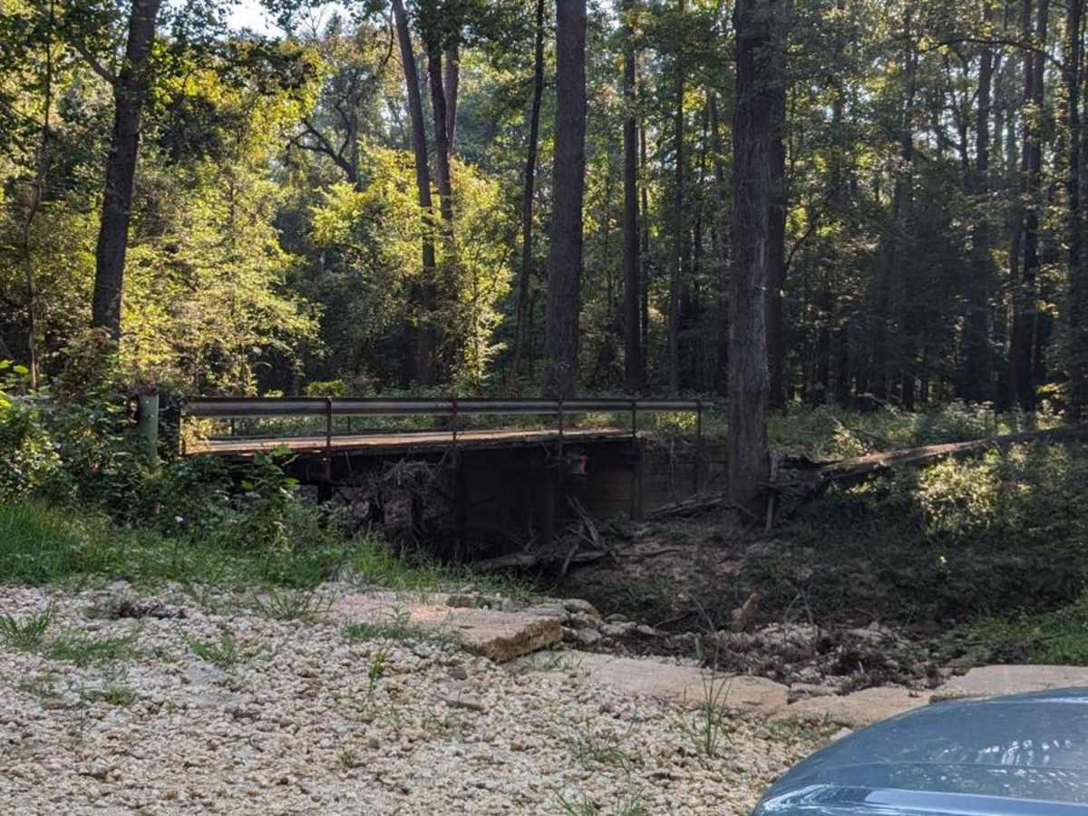
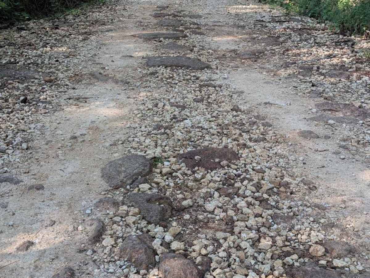
On this trail, you'll find small sand pits, potentially muddy roads, strips of loose gravel, and multiple heavily eroded sections of Forest Service Road where a large portion of the roads have been washed out. There are a bunch of places to recover with the ample amount of trees close to the road, but this trail could end up being very difficult if traveled during the rainy season.

History

After speaking with locals who have used the historic campsites along this and other routes in the area, the consensus is that the road has been used as a FSR for quite some time, but was also a very popular fisherman's road - with the multiple ponds and waterways all along this route.

Technical Rating

3

Status Reports

Add Status Report
Billy whitehead
Dec 23, 2025
Open
Creek road is repaired
Scott Osborn
Oct 04, 2025
Open
This was my favorite of all the trails in the area. Tall pines line most of it so the scenery is very nice. Towards the southern end there’s quite a few spots with sand, some of it fairly deep. Nothing very technical but fun nonetheless. The entire area is very dry now, with creeks mostly dry or very low.
Jason Echols
Feb 07, 2025
Open
Driven south from Mission Tejas, this dirt road offers a pleasant journey, flanked by beautiful trees along most of the trail. A few small washouts may slow you down, and there are private homes in some sections. After a week of rain, I noticed erosion and rutting in certain spots, although maintenance was underway. Typically, this is an easy road/trail, but it can become more challenging after rain due to standing water or erosion.

Mission Tejas Cut Through Trail can be accessed by the following ride types:

  • High Clearance
  • Full Width

Mission Tejas Cut Through Map

The onX Offroad Difference

onX Offroad combines trail photos, descriptions, difficulty ratings, width restrictions, seasonality, and more in a user-friendly interface. Available on all devices, with offline access and full compatibility with CarPlay and Android Auto. Discover what you're missing today!

Open Trail Map