East Fence

Total Miles1.1
Technical Rating
4Moderate
Best TimeSummer, Spring, Fall, Winter
Trail TypeFull-Width Road
Accessible By
Open Trail Map

Trail Overview

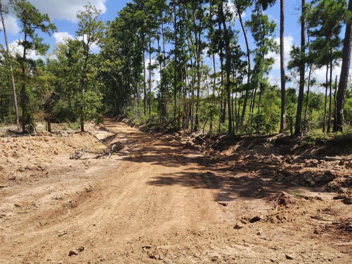
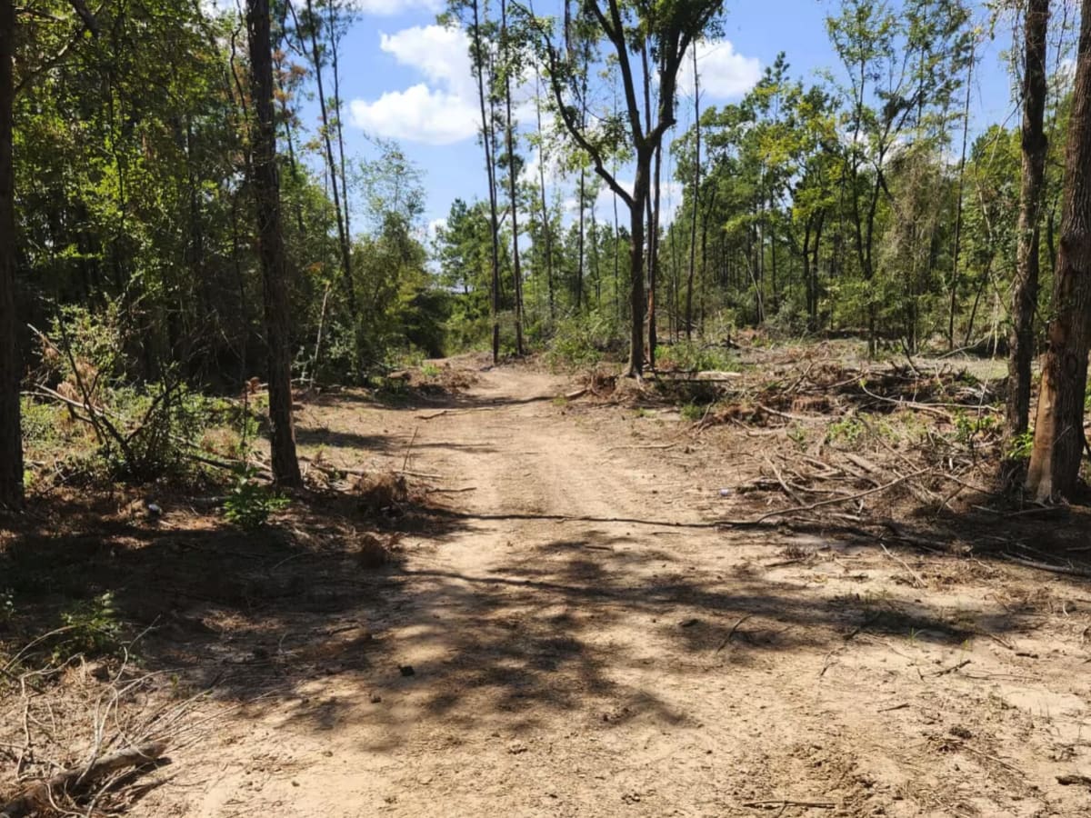
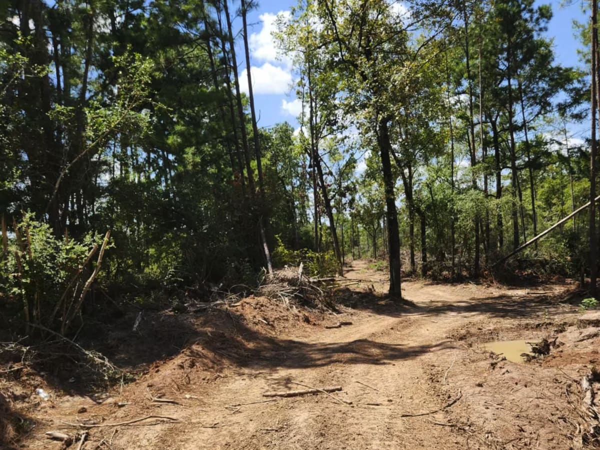
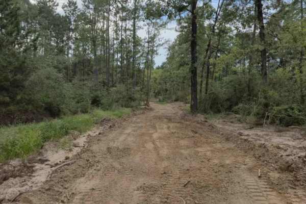
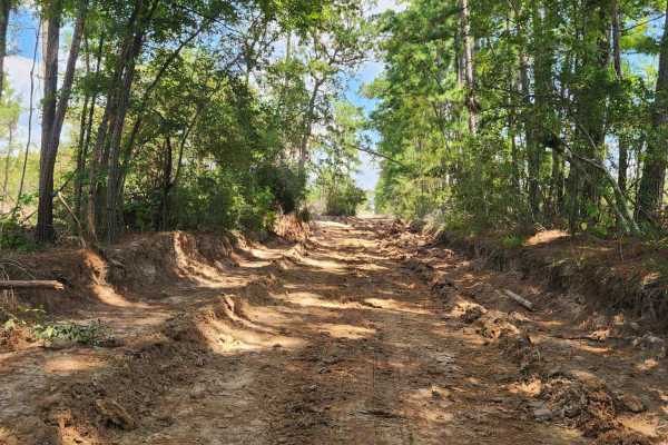
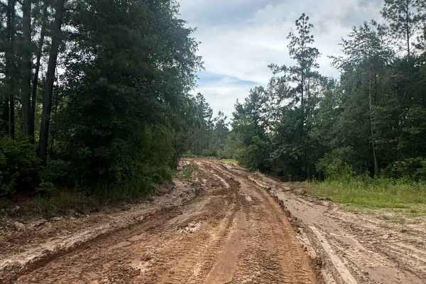
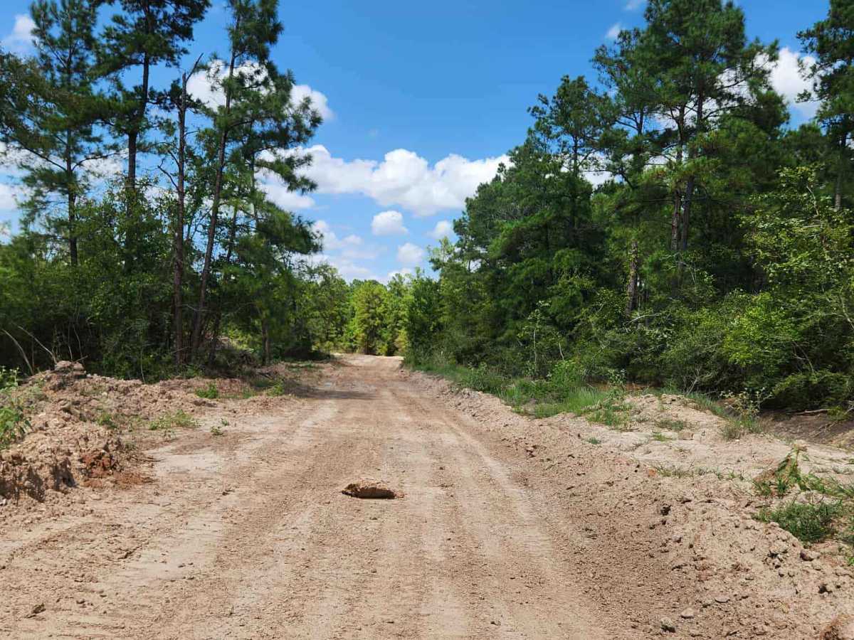
The East Fence Trail follows the park’s eastern perimeter, connecting the South Fence Road up toward the North Fence. This is the preferred through-route along the east side, with a mix of open stretches, light tree cover, and fun features along the way. About ¼ mile north of the South Fence, you’ll encounter a splash hole. At night, it can look like a steep drop-off, but the bottom is solid and the hole is designed with varying depths: the west side is shallower while the east side runs deeper, giving riders options for how hard they want to hit it. It’s a fan favorite for a quick blast. Roughly ½ mile north of the South Fence sits the Sleeping Tree landmark — nobody quite remembers why it’s called that, but it’s a well-known meeting point and trail marker. Multiple side trails crisscross east to west along this stretch, but the East Fence Road remains the best-maintained and most reliable route.

Photos of East Fence

Difficulty

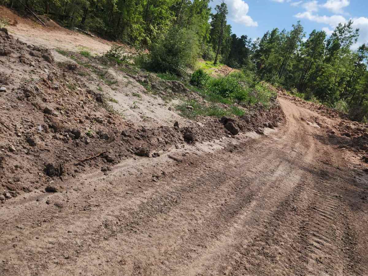
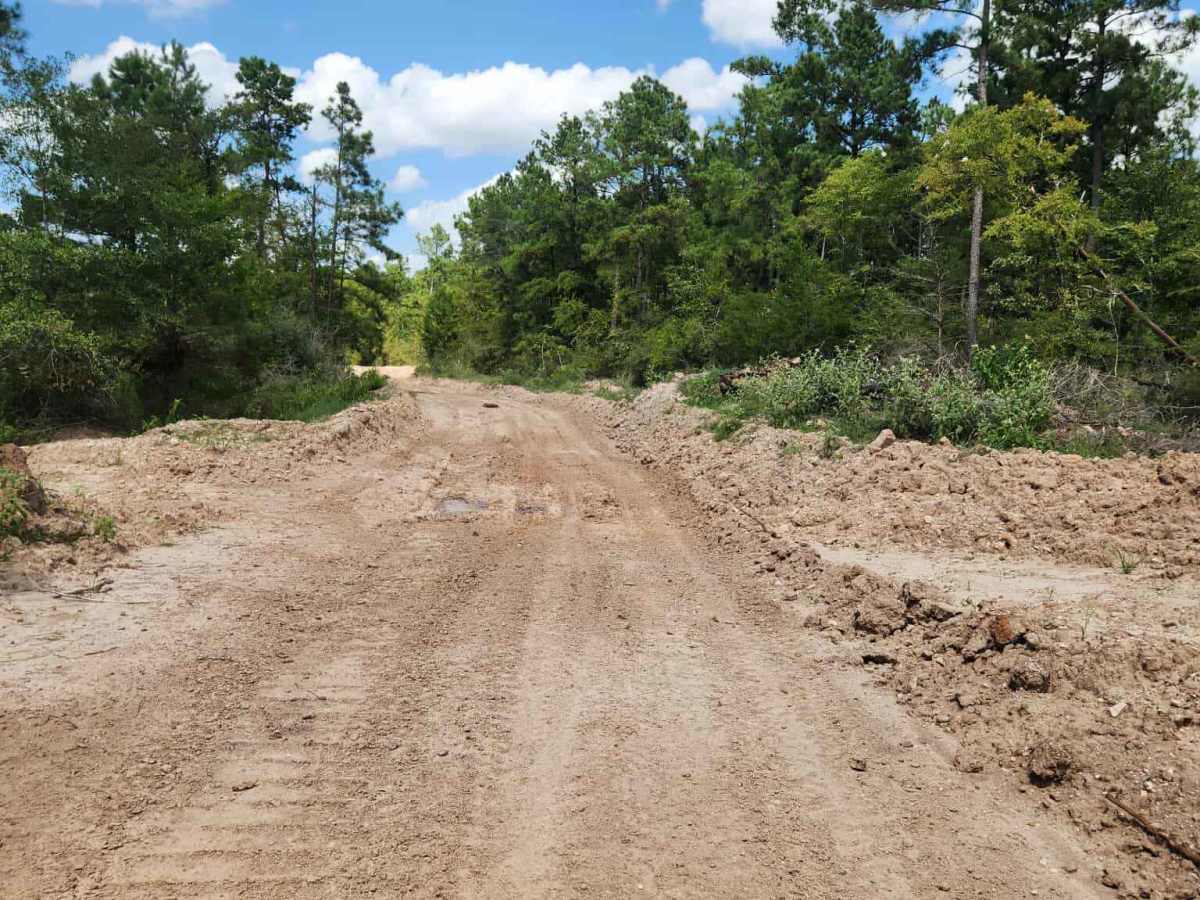
Intermediate Uneven, rutted dirt trail with loose rocks, sand, erosion, and washes. Potential water crossings up to a foot deep, mud holes, and obstacles up to 18”, including ledges and short, steep grades. Roads are typically one vehicle wide with places to pass.

Technical Rating

4

Status Reports

Add Status Report
James Herrington
Apr 15, 2026
Obstructed
Locked gate and no trespassing sign

East Fence Trail can be accessed by the following ride types:

  • Single Track
  • 50 Inch
  • 60 Inch
  • High Clearance
  • Full Width

East Fence Map

The onX Offroad Difference

onX Offroad combines trail photos, descriptions, difficulty ratings, width restrictions, seasonality, and more in a user-friendly interface. Available on all devices, with offline access and full compatibility with CarPlay and Android Auto. Discover what you're missing today!

Open Trail Map