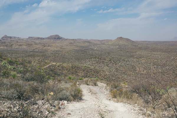
BBRSP Fresno Canyon Rd.

Total Miles 8.2
Technical Rating
3 Easy
Best Time Spring, Summer, Winter, Fall
Trail Type Full-Width Road
Accessible By
Open Trail Map

Trail Overview

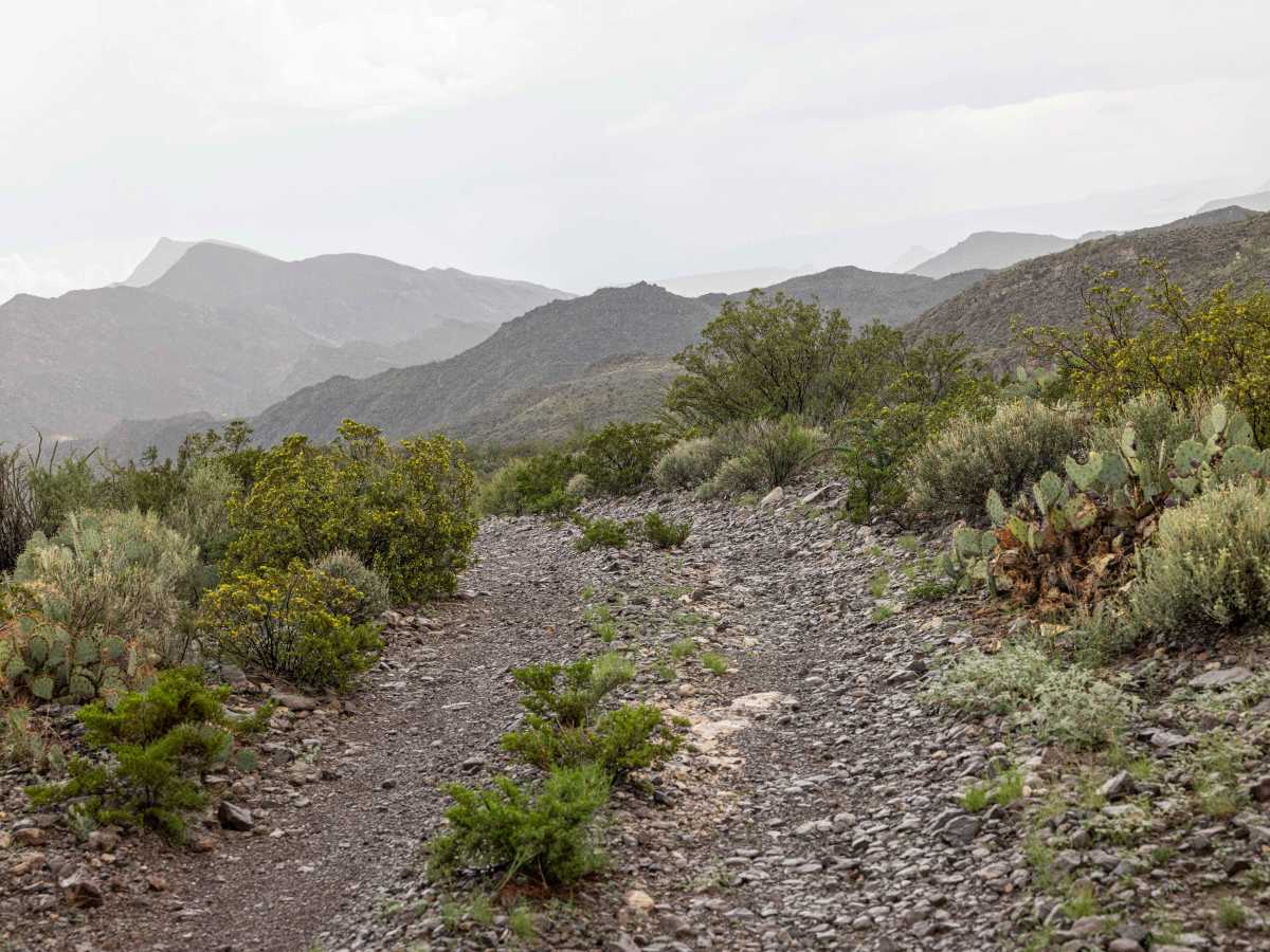
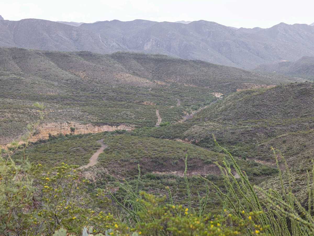
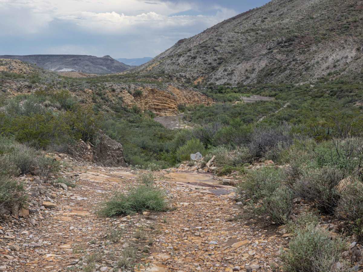
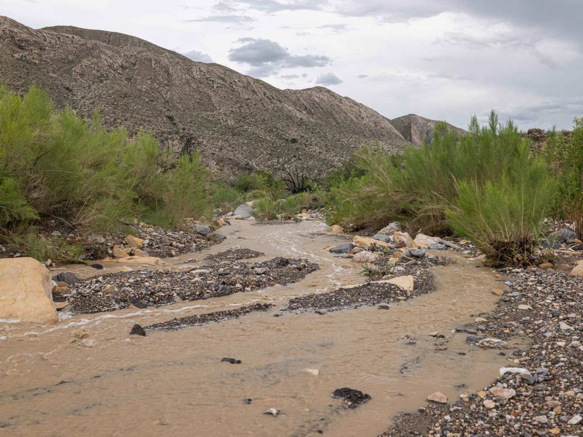
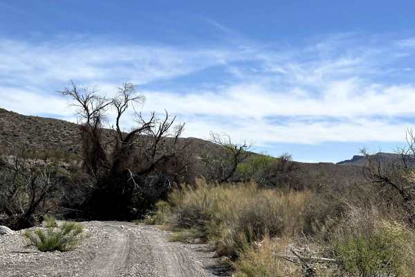
Fresno Canyon Road is open only to street-legal, high-clearance 4WD vehicles. The route offers a scenic descent into the canyon along the western edge of the Solitario. For more than two miles, the road follows the creek bed itself, which Park Rangers recommend as the preferred passage. The drive begins near the La Posta campsite at the canyon rim and is an out-and-back route. Three designated campsites are located along the road—Rincon 1, Rincon 2, and Fresno Canyon—all equipped with horse hitching posts. Travelers should be prepared for challenging conditions. Several washes may require rock stacking to pass, and within the creek bed, soft sand and exposed rocks demand careful line selection to avoid bottoming out. The striking ‘Flat Irons,’ rock formations that frame the Solitario, are visible from each of the campsites. Exiting the canyon presents one final test: a steep, loose-rock hill near the top. Maintaining steady momentum will help ensure a safe climb out.

Photos of BBRSP Fresno Canyon Rd.

Difficulty

This is typically not a challenging road, but the lack of maintenance and heavy rains provide plenty of opportunities to stack rocks and straddle washes. While in the creek bed, pay attention to forward steering, as rocks are riddled across the entire bed. If water is flowing in the creek, pay extra attention and be aware of flash flooding. There are not many places to get out of the creek bed.

Technical Rating

3

Status Reports

Add Status Report
Wimpy Wilson
Mar 15, 2026
Open
This was the 1st time taking out my defender 110 with my wife. Had an amazing time, only did half. The first quarter mile was tricky immediately going downhill.
Bill Campbell
Mar 05, 2026
Open
Maybe a green but definitely a Blue route towing our TetonX. Made to campsite. Wanted go further but was area just south of Fresno area was sketchy for a lone vehicle. Probably could have made it with just TH but no way TetonX would have made it. Cool arch site on way there with pictographs from around 1000 AD.
Andy Garcia
Feb 28, 2026
Open
Trail was concerning for novice off roaders, but totally do-able. Views were stunning, prepare for lots of stops to enjoy the views. There is lots of places to wander, especially on the River beds. We saw two other vehicles on their way out with tons of pin striping. But they looked like they had lots of fun. We stopped for lunch near the “canyon” wall close to the manos arriba site. There’s a gravel cove in the shade. We witnessed a rescue of some mountain bikers who ran out of water. A police truck drove down to pick them up. It was a little challenging coming back up the steep hills because you can’t see what’s up ahead. We discovered that this was an easy trail after all.

BBRSP Fresno Canyon Rd. Trail can be accessed by the following ride types:

  • High Clearance
  • Full Width

BBRSP Fresno Canyon Rd. Map

The onX Offroad Difference

onX Offroad combines trail photos, descriptions, difficulty ratings, width restrictions, seasonality, and more in a user-friendly interface. Available on all devices, with offline access and full compatibility with CarPlay and Android Auto. Discover what you're missing today!

Open Trail Map